BOU AVENUE
Fish Hook Ridge

Taking advantage of some unseasonably warm weather on 7 February 2026, Zosia Zgolak and I hiked an unnamed ridge along Johnson Creek in Alberta’s Cataract Creek Snow Vehicle Public Land Use Zone.  A route along the eastern half of this ridge is described in Gillean Daffern’s Kananaskis Country Trail Guide where she attributes the name “Hill 866684“ to one of the ridge’s high points.  She also recounts an embarrassing incident which explains the naming of a pass west of Hill 866684 as “Fish Hook Pass”.  Since our hike would extend westward beyond this pass, I have taken the liberty to call this extension “Fish Hook Ridge”.

From Highway 22, turn west onto SR 532 (2WD gravel), 14.3 kilometres south of the intersection with Highway 540 (Bar U Ranch access) or 10.9 kilometres north of the intersection with Highway 533 (Chain Lakes Provincial Park access).  Drive 13.5 kilometres and turn left into Johnson Creek Staging Area (vault toilet available) which is just before the seasonal gate along SR 532.  Note that a Kananaskis Conservation Pass is NOT required to park at Johnson Creek Staging Area.

Starting from Johnson Creek Staging Area (50.23666, -114.37026), Zosia and I crossed over to the north side of SR 532 and soon were climbing open grassy slopes to a fence running along an obvious ridge crest.  Turning left (west), we hiked beside the fence and easily went over two distinct humps--"Hill 870686" and Hill 866684 as mentioned in Daffern's route description.  The more westerly Hill 866684 is slightly higher and more scenic, but not yet in need of a break, we promptly descended to Fish Hook Pass.  Seeing nothing remarkable at the pass, we carried on up to the next hump (GR855679) to the west which is mostly forested but is the highest point of the entire hike.  Zosia built a small cairn here before we descended southward to check out some cliffs overlooking Johnson Creek valley.  From the top of the cliffs, we resumed our westward progress and easily traversed to a saddle between GR855679 and the last high point along the ridge.  Just before reaching the last high point, we came across an unexpected viewpoint with 360-degree views.  This would have been a great spot to stop for an extended break, but instead, we kept going past a short dip to the last high point at GR848675 which is occupied by a large rock outcrop.  Although there are no far-reaching views here, we both had fun scrambling up the rock outcrop.  From there, we wandered a bit further to the northwest before finally taking a break at the edge of a cut block on the west side of GR848675.

When we resumed hiking, Zosia and I dropped down the cut block and then made a descending traverse to the south where we eventually intersected a tributary of Johnson Creek.  We muddled along the north bank of the tributary for a short distance before finally crossing over to the south bank where we picked up a convenient logging road (mentioned in Daffern's description for a separate hike to Iron Lakes).  We easily followed the logging road out to SR 532 and then settled into a long but uncomplicated walk along the gravel highway back to Johnson Creek Staging Area.
No K-Country Conservation Pass required here! 
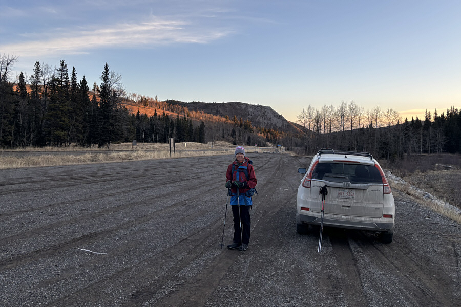
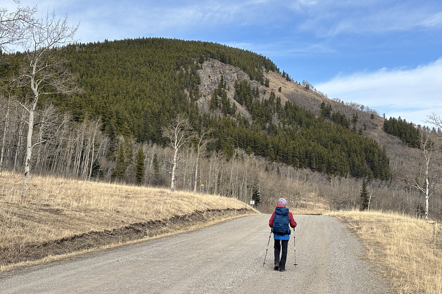
Zosia begins hiking from Johnson Creek Staging Area.  Visible behind her is Indian Graves Ridge.
Feels amazingly warm for February! 
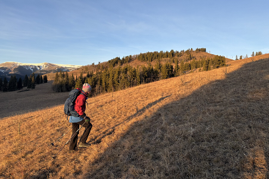
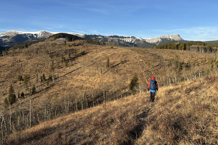
"Hill 870686" is visible in the background as Zosia hikes up the grassy slope.  On the far left horizon is snowy Hailstone Butte.
Don't fence me in! 
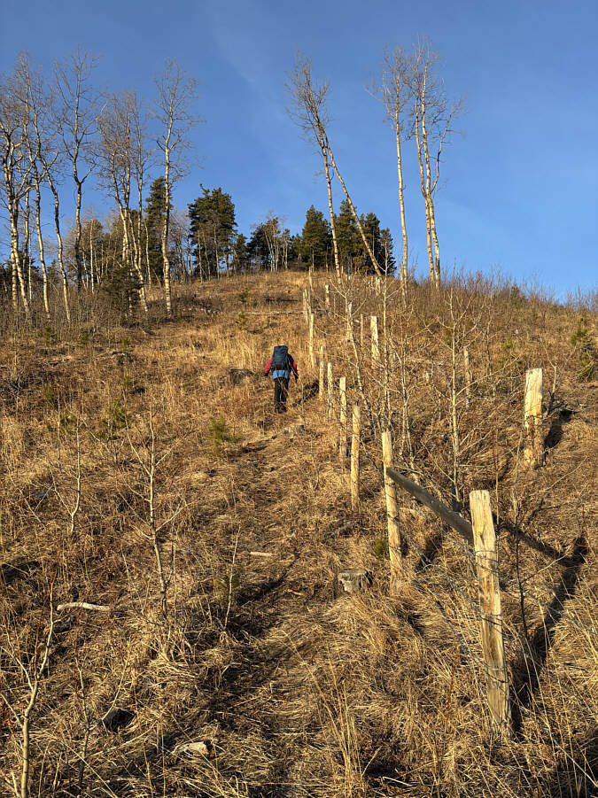
Zosia follows a fence along the ridge crest.
Some hints of good views to the west... 
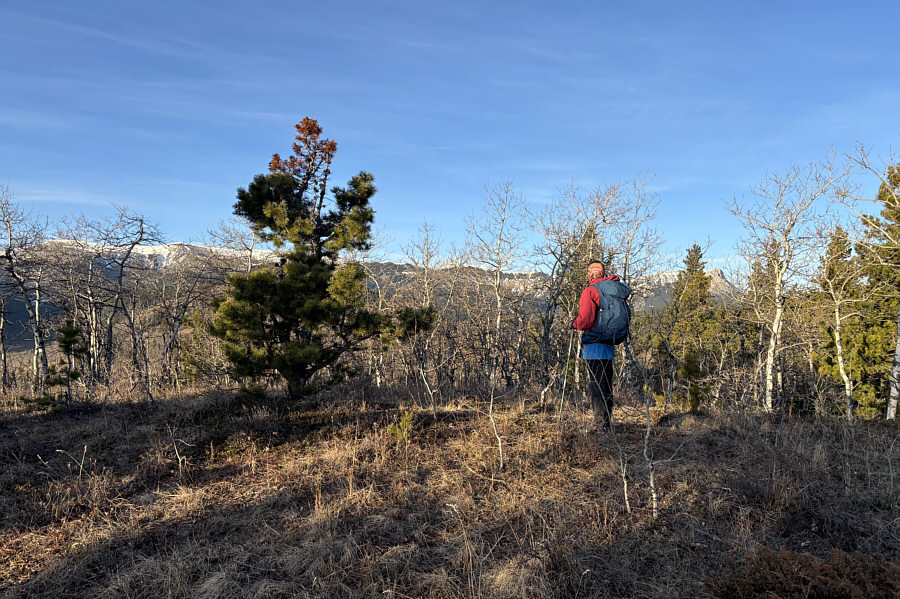
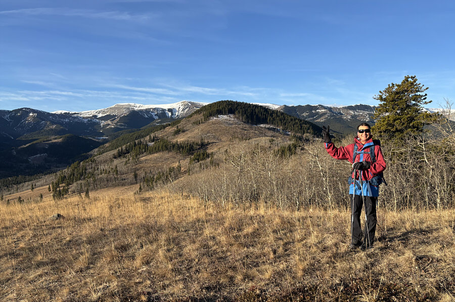
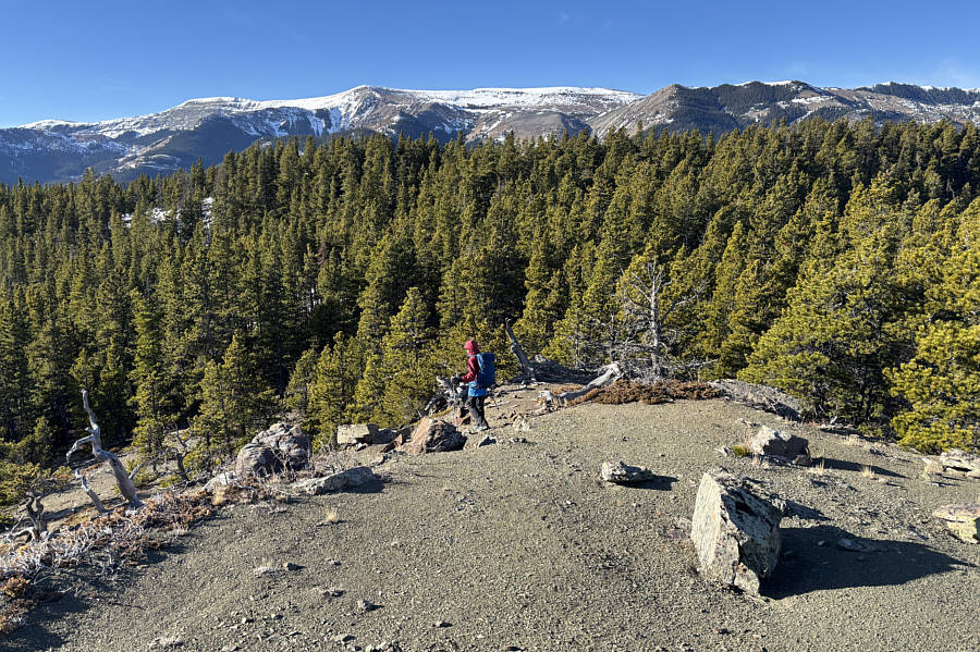
Zosia stands atop Hill 870686 (HP1; 1649 metres).
Lotsa dips on this trip!

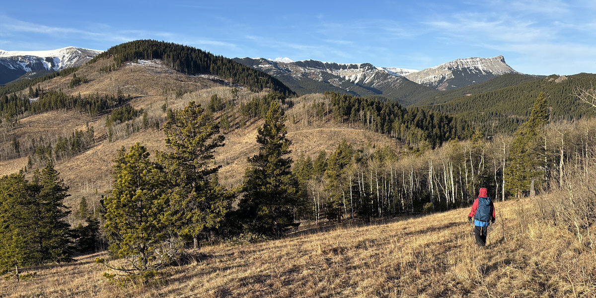
Zosia drops into a short dip en route to "Hill 866684" at left.  Visible on the right horizon is Sentinel Peak.

This would be good enough for a half-day hike. 
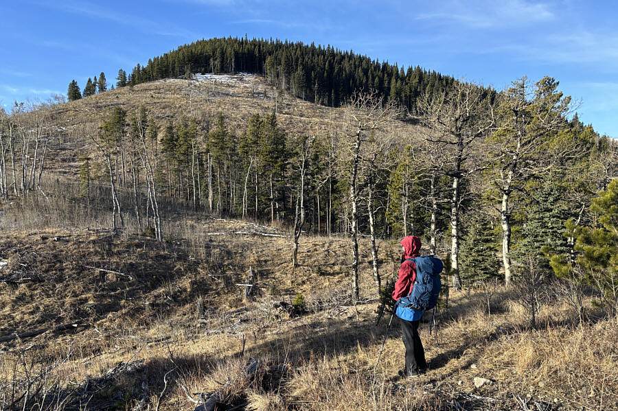
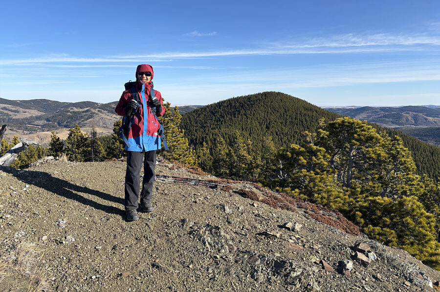
Zosia stands atop Hill 866684 (HP2; 1651 metres) with the next high point (GR855679) in the background.

Feel free to drop your pants here!

Zosia drops down to "Fish Hook Pass" before climbing up GR855679.


Easier than it looks... Zosia tries to pick out the most efficient route up the east side of GR855679.
Highest point of the entire hike! 
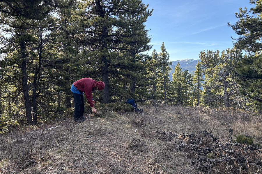
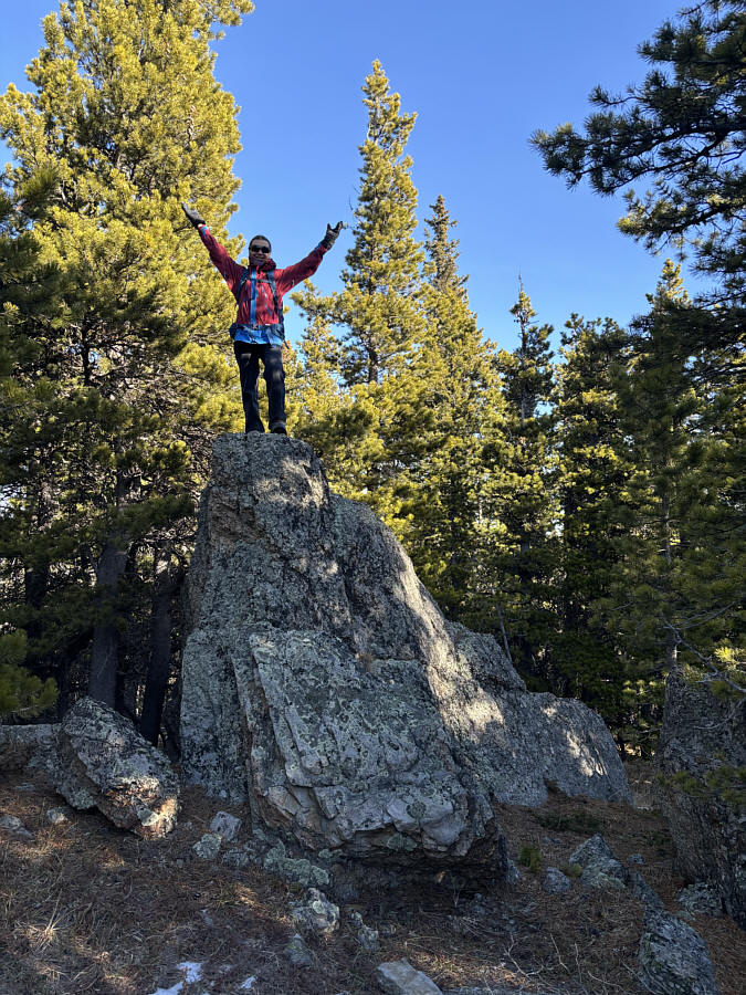
Zosia builds a cairn at GR855679 (HP3; 1786 metres), the highest point of "Fish Hook Ridge".
A worthy detour! 
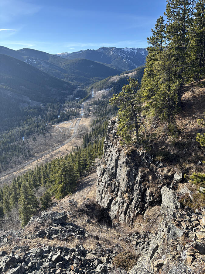
On the south side of GR855679 are some cliffs overlooking Johnson Creek valley.
Where's the cup holder for beer? 
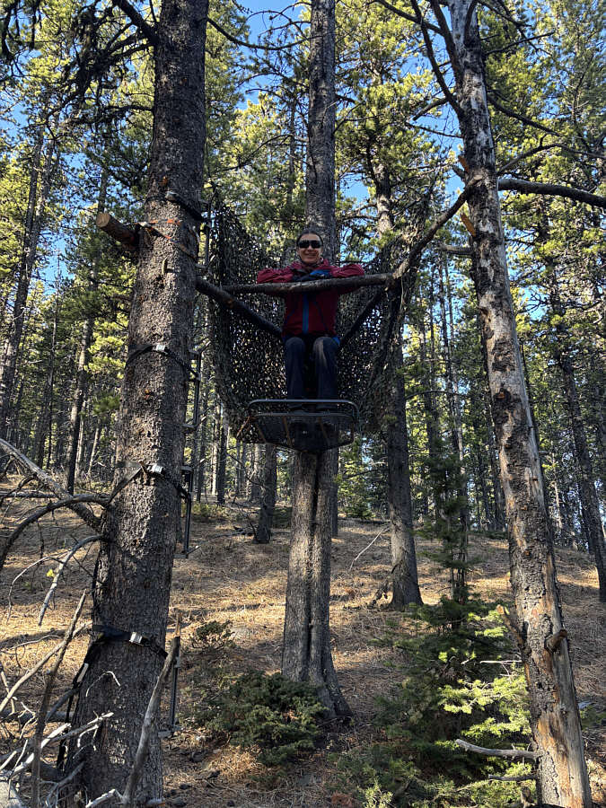
Near the saddle between GR855679 and the last high point, GR848675, is this interesting hunter's blind.
The best high point along the ridge! Zosia reaches an unexpected viewpoint (1774 metres) just east of GR848675.  Behind her is the forested top of GR855679.
We should've stopped here for lunch! From the unexpected viewpoint, Zosia drops into a short dip before the last high point (GR848675) which is somewhere in the trees at right.
Fun scramble! Zosia stands on top of a rock outcrop at GR848675 which is essentially the last high point (HP4; 1778 metres) of "Fish Hook Ridge".
Nice slopes for ski touring...if ever there was any snow here! 
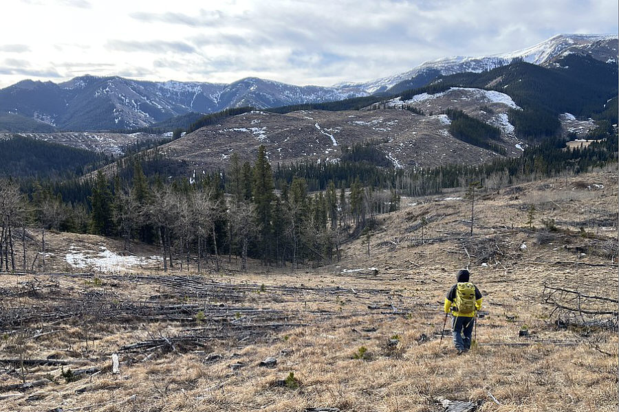
Sonny drops down a cut block to the west of GR848675.

Photo courtesy of Zosia Zgolak

Very cool! 
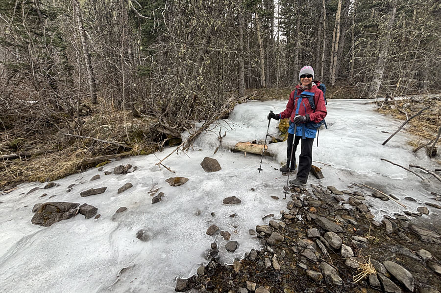
This mostly frozen tributary of Johnson Creek still has water running underneath the ice.
Elk or horse? 
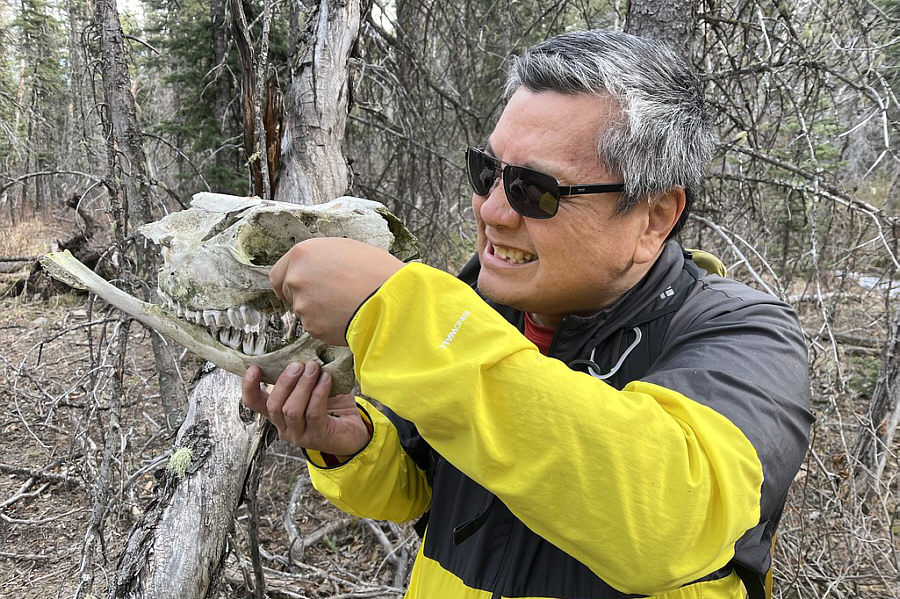
Sonny finds a skull near the tributary.

Photo courtesy of Zosia Zgolak

Spot any goats or sheep? While walking along SR 532, Zosia gets a more comprehensive view of the cliffs on the south side of GR855679.
Another easy romp in southern K-Country that's doable year-round. 
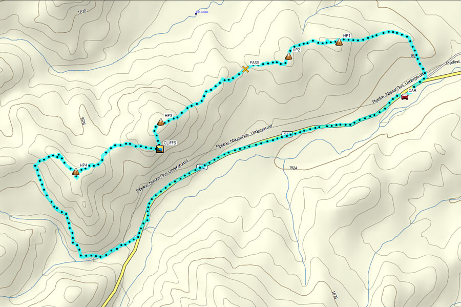
Total Distance:  10.0 kilometres
Round-Trip Time:  5 hours 35 minutes
Cumulative Elevation Gain:  403 metres

GPX Data