When we resumed hiking, Zosia and I descended the south ridge of Willow Head and ultimately connected with the same dirt road we started on along Willow Creek. The long march back to the trailhead was mostly flat, but we had to contend with muddy conditions and numerous short but annoying creek crossings. By the time we finished our hike, our boots were a mess, but thankfully, our feet stayed dry.
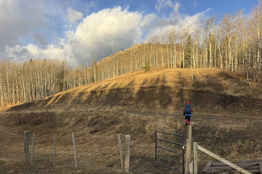 |
At the start of the hike, Zosia passes a gate and gains a road which is the main access artery for Willow Creek. Visible in the background is "Indian Graves Ridge". |
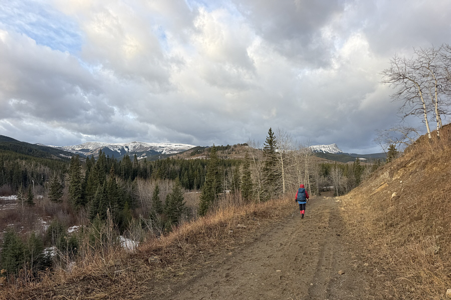 |
Hailstone Butte (left) and Sentinel Peak (right) are already visible from the road near the start. |
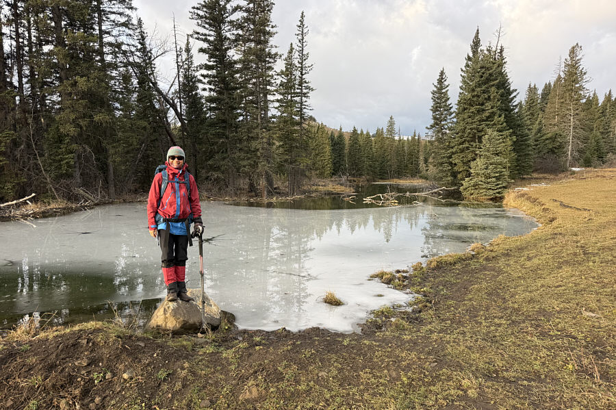 |
Zosia checks out a partly frozen section of Willow Creek. |
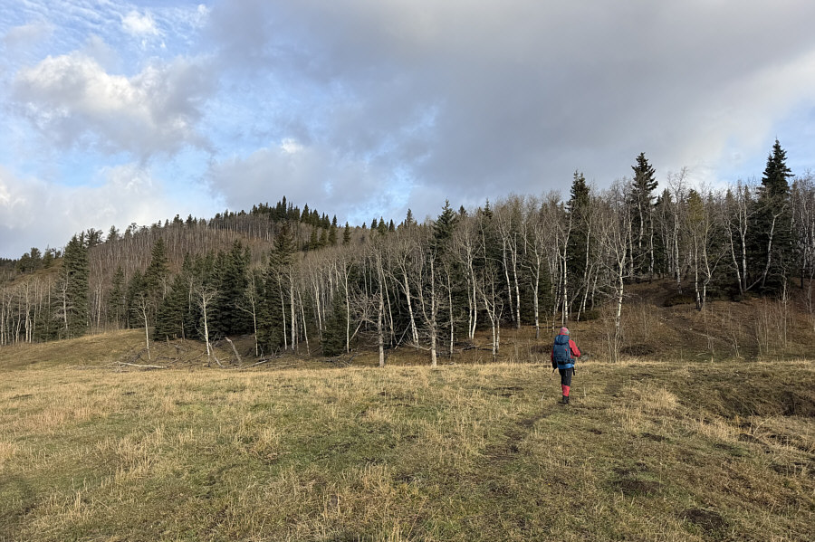 |
Zosia takes a short cut near a turnoff to a well site road (hidden behind the trees). |
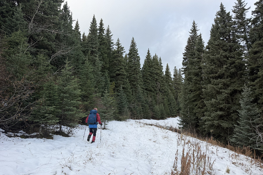 |
Despite warm temperatures, some sections of the well site road still have an abundance of snow. |
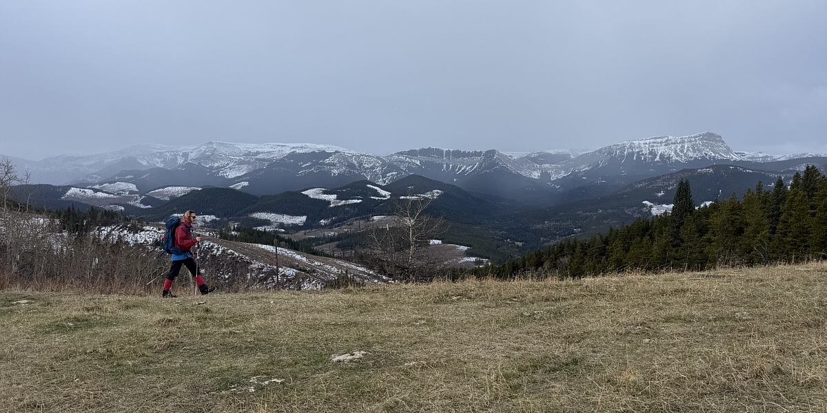
The reclaimed well site grants a more complete view to the southwest of Hailstone Butte (left) and Sentinel Peak (right). Also visible on the central horizon is "Iron Creek Mountain".
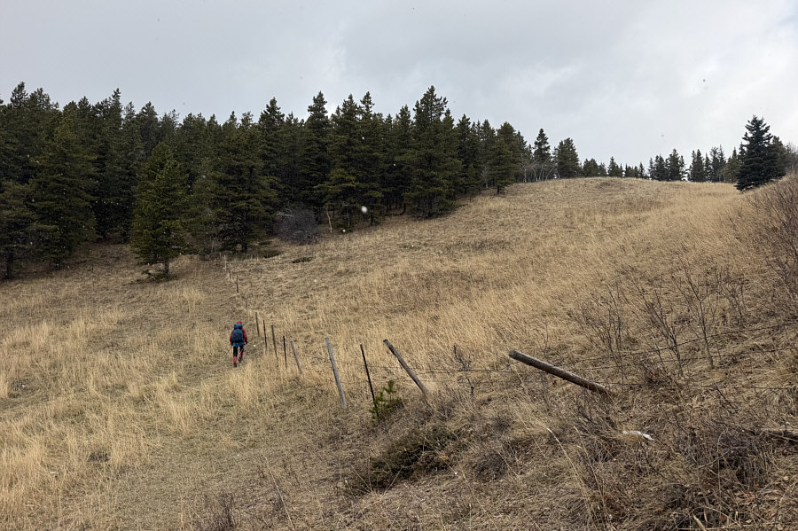 |
Zosia follows a fence line for long stretches of the route. |
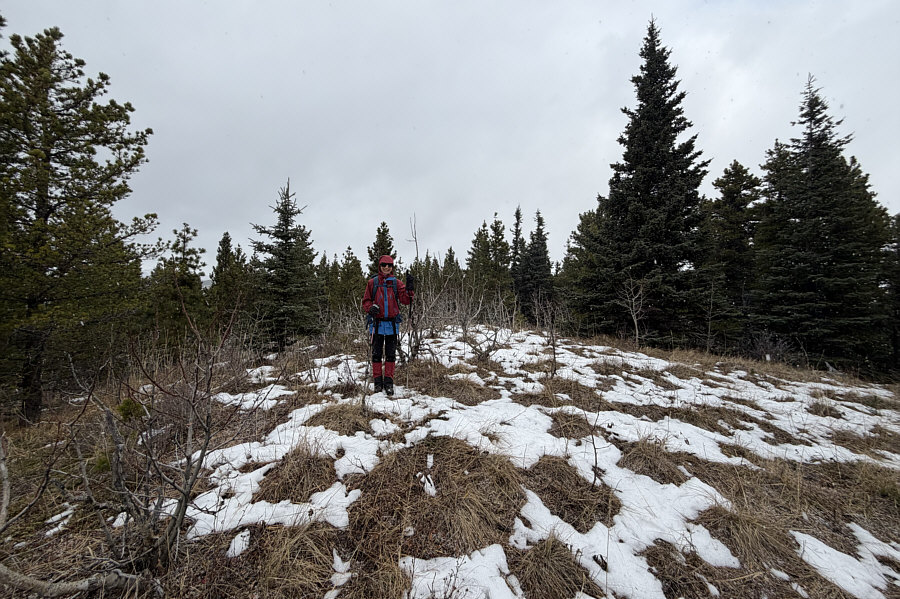 |
Zosia stands on the high point of "Gardner's Ridge" (1803 metres). |
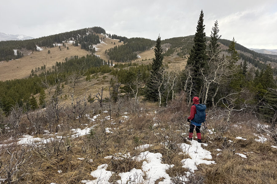 |
Zosia approaches an extensive open section of the ridge. The route continues over the distant bump at right. |
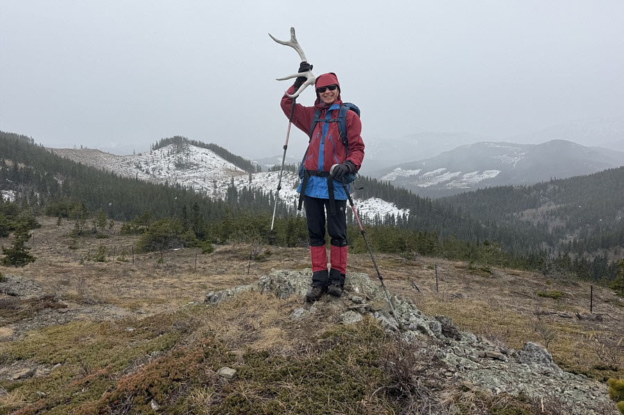 |
Zosia finds an antler in the open section of the ridge. |
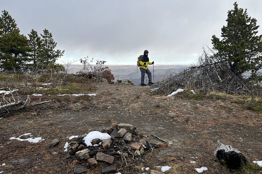 |
Sonny stumbles across an abandoned camp
somewhere on the ridge. Photo courtesy of Zosia Zgolak |
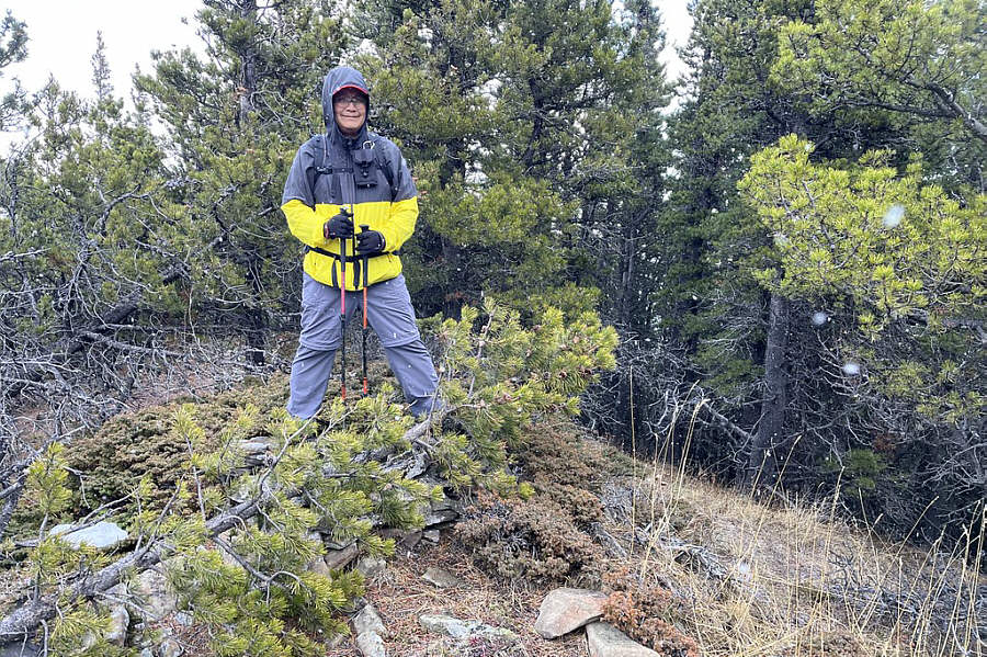 |
Sonny stands on an unnamed and
viewless high point (1829 metres) located east of "Willow Head". Photo courtesy of Zosia Zgolak |
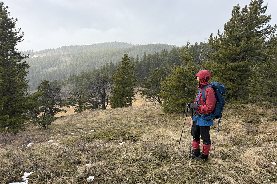 |
Zosia eyes the top of Willow Head from this clearing just northwest of the unnamed high point. |
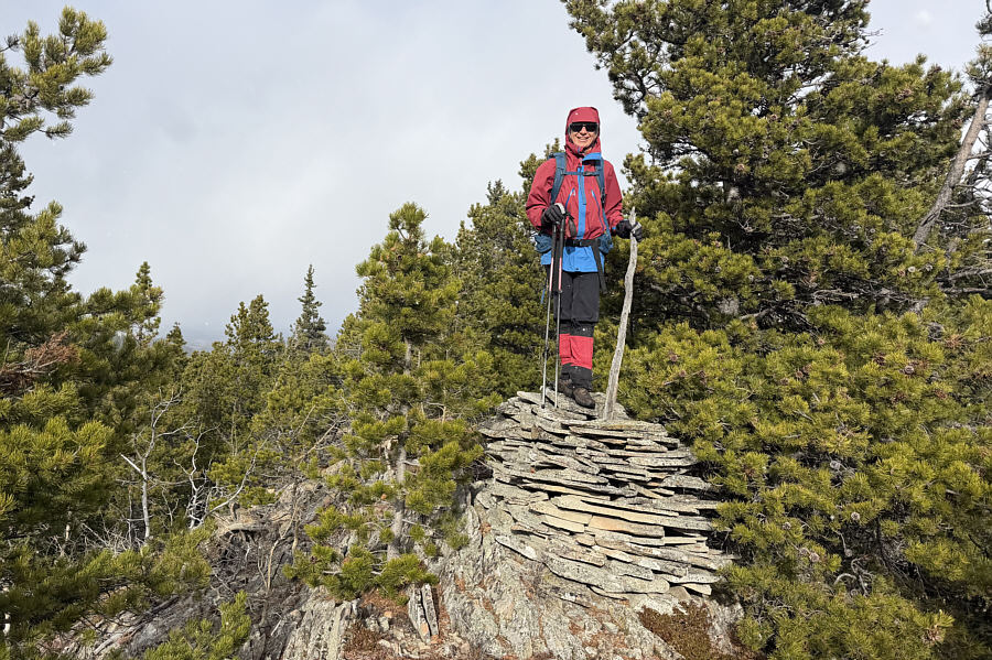 |
Zosia stands on top of Willow Head (1836 metres). |
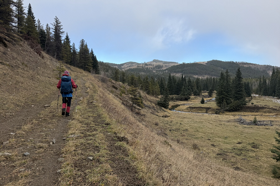 |
On the back half of the loop, Zosia marches along the main road beside Willow Creek. |
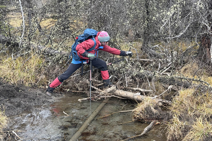 |
There are many shallow creek crossings like this one during the hike out. |
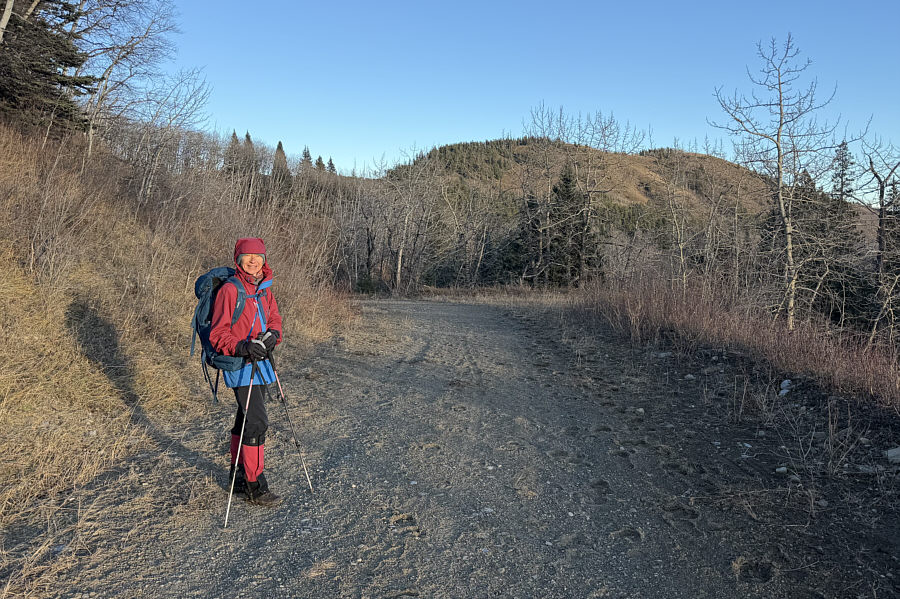 |
Zosia enjoys some late-day sunshine near the trailhead. In the background is one of the high points of "Willow Creek East Hills". |
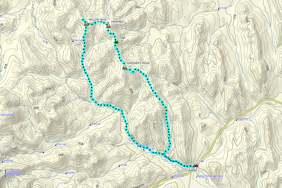 |
Total Distance: 21.2 kilometres Round-Trip Time: 7 hours 46 minutes Cumulative Elevation Gain: 513 metres |