BOU AVENUE
Ghost Rider North Peak
Wrapping up our week-long road trip through the southern interior of British Columbia, Zosia Zgolak and I ascended unofficially-named "Ghost Rider North Peak" near Fernie on 5 July 2026.  Ten years earlier, we had ventured here with some friends to climb "Ghost Rider Peak" and Mount Hosmer, and it never occurred to us to include the north peak which is documented in Bob Spirko's 2002 trip report.  Unlike Ghost Rider Peak, there is no scrambling or route-finding required to ascend the north peak, but it does share the same steep and grueling approach trail which gains 550 metres over a distance of 2.6 kilometres (average grade of over 21 percent).  In spite of the daunting grade, the trail is still quite popular probably because of its close proximity to Fernie and the relatively easy access.

From Highway 3, turn west onto Dicken Road 5.7 kilometres north of the intersection with 9 Avenue (McDonald's restaurant) in Fernie or  23.4 kilometres south of the intersection with Highway 43 in Sparwood.  Drive 600 metres and turn right onto Hartley Lake Road (2WD gravel).  Drive 7.0 kilometres and park in a pullout on the west side of the road.  The signed trailhead is on the east side of the road opposite the pullout.

Starting from the trailhead, Zosia and I simply followed the steep but well-maintained trail up to the crest of the connecting ridge between Ghost Rider North Peak and its higher namesake to the south.  A few flat or downhill sections provided some relief from the relentless uphill push, but for the most part, we just put our nose to the grindstone and turned the hike into an extended StairMaster workout.  It took us a little under two hours to reach the ridge crest where we turned left at a T-junction.  The remaining trail to the top of Ghost Rider North Peak is just as steep but seemed much more pleasant to hike probably because we were starting to get some far-reaching views.  From the T-junction, it took us another thirty minutes to reach the highest point, and the views from there were exceptional on this day and well worth the effort.

After stopping for a well-deserved break at the top, Zosia and I retraced our steps back down the mountain.  We ran into several other parties on their way up but otherwise had an uneventful descent to the trailhead.
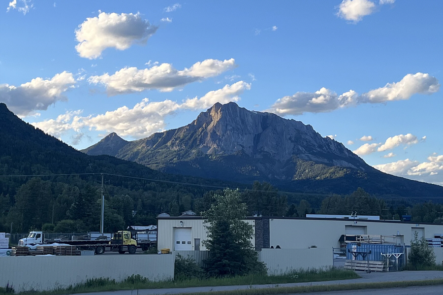
Can you spot the "ghost rider"? Here is a view of Ghost Rider North Peak (left) and Ghost Rider Peak from the highway near Fernie the previous evening.
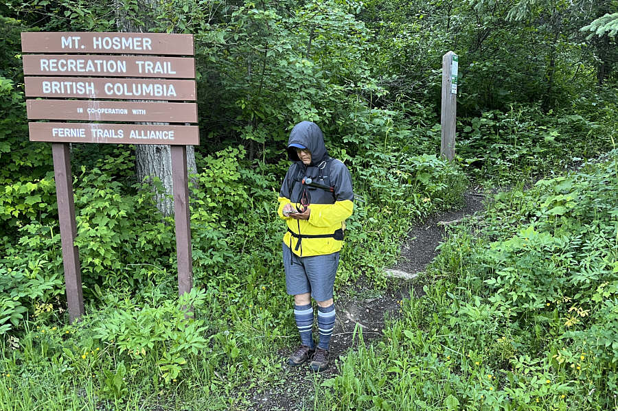
Nice socks! Sonny starts his phone's GPS application at the trailhead.

Photo courtesy of Zosia Zgolak

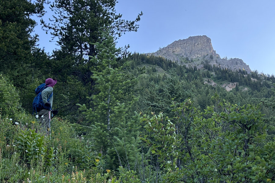
Still a lot of climbing left from here! Zosia gets one of her first glimpses of Ghost Rider North Peak from the trail.
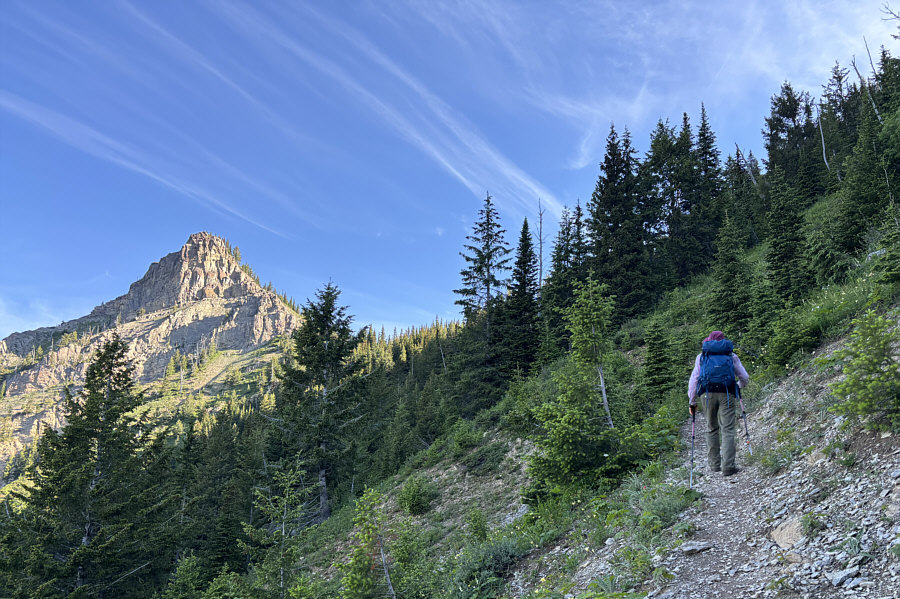
Looks a bit daunting from this side! Ghost Rider North Peak is illuminated by morning sunshine as Zosia climbs higher up the trail.
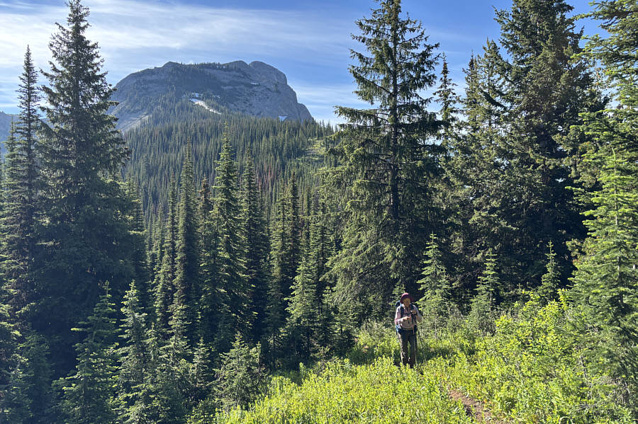
Took us 2 hours to get here from the trailhead. Ghost Rider Peak is visible in the distance as Zosia gains the ridge crest.
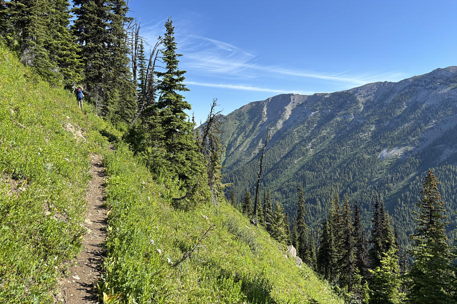
Not a good one to try when snowbound! The upper trail traverses some very steep slopes.
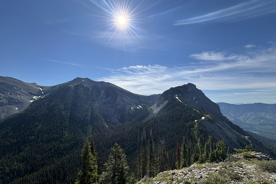
It's like seeing some old friends! From the top of Ghost Rider North Peak, Mount Hosmer (left) and Ghost Rider Peak dominate the view to the southeast.
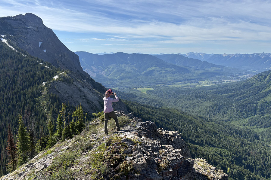
Good morning, Fernie! Zosia takes some photos of the city of Fernie to the south.

Not many people have climbed Mount Bisaro and probably for good reason...

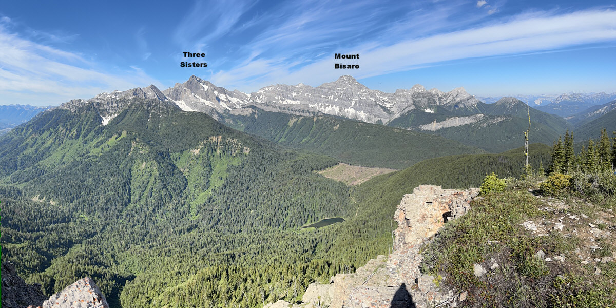
Here is a panoramic view to the west from the top of Ghost Rider North Peak.
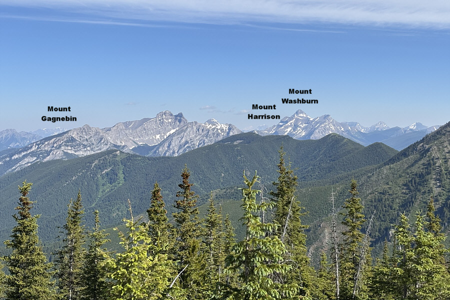
 

And maybe unclimbed as well? Many intriguing peaks to the north remain unnamed.
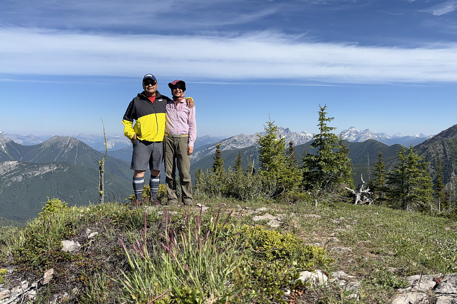
Nice last summit of our week-long road trip! Sonny and Zosia stand on the high point of Ghost Rider North Peak (2126 metres).
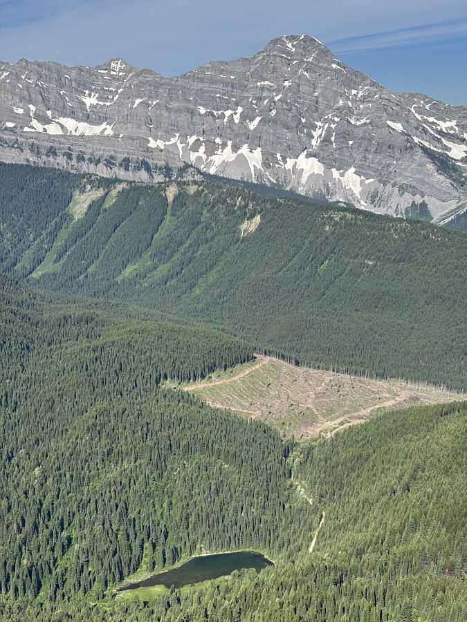
Good luck trying to get a campsite there these days! Visible in the valley far below is Hartley Lake.
A surprising find! This is one of two small toads spotted running around near the high point.
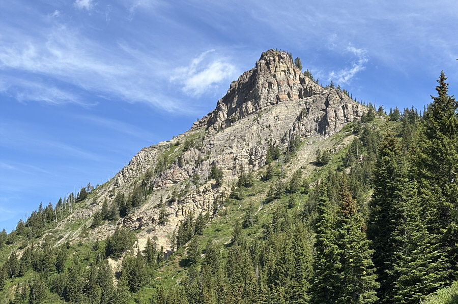
Good bye! We will never hike this crazy steep trail again! Here is one last look at Ghost Rider North Peak from the trail.
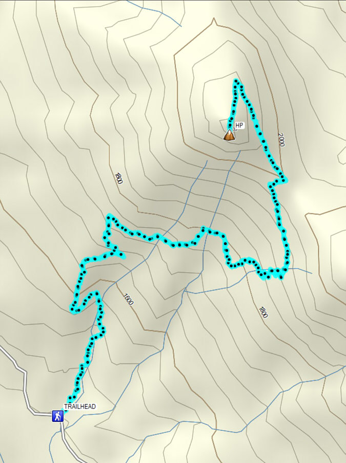
A grueling climb to a very rewarding peak. Total Distance:  7.5 kilometres
Round-Trip Time:  4 hours 38 minutes
Cumulative Elevation Gain:  675 metres

GPX Data