During our break at the south end of the summit block, Zosia and I were surprised to meet a woman who arrived after us. Her partner was at the fire lookout, but we did not see him initially. The woman departed before we finished our break, but when we resumed hiking and dropped back down the trail to road's end, we ran into her again with her partner at their parked car. Surprisingly, they offered to drive Zosia and me back to our car after learning that we had driven up from Beaverdell. They had driven up a different road from the south (joining our road at the first of the aforementioned major junctions) and were not keen to return the same way. Zosia and I gladly accepted their offer, and after introducing ourselves, we learned that their names were Catherine and Jim. We then all promptly piled into their car, and Catherine expertly drove us back down the road to our car without any serious difficulty. During the drive, we learned that Catherine and Jim are avid peak-baggers just like us, and we had interesting discussions about various peaks and related health issues. Before disembarking, Zosia and I exchanged contact info with Catherine and Jim and thanked them for their kindness. They disappeared down the road as we unloaded our gear at our car, but we soon followed suit and made it safely out to Beaverdell to conclude our adventure on Goat Peak.
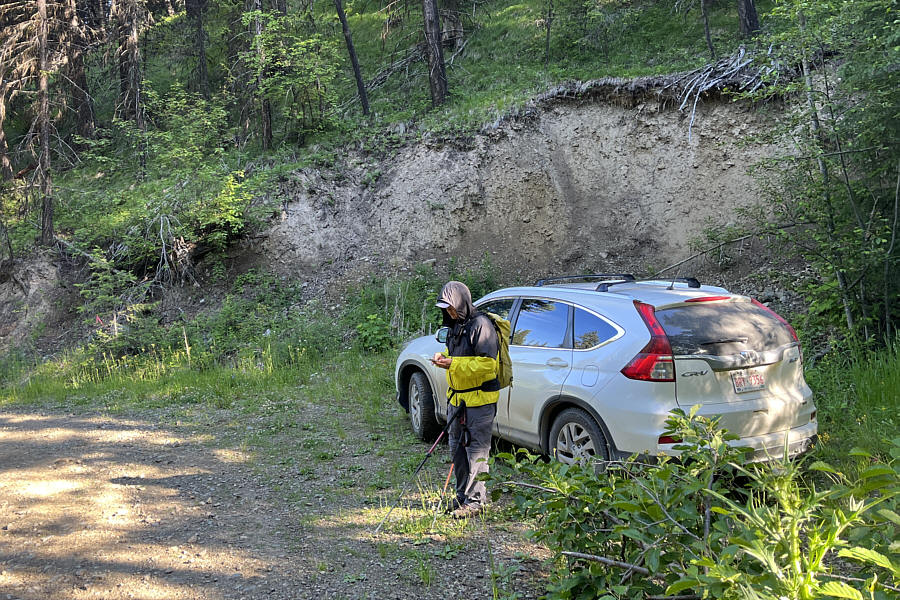 |
Sonny leaves his parked car here and
prepares to hike the remainder of the access road to Goat Peak. Photo courtesy of Zosia Zgolak |
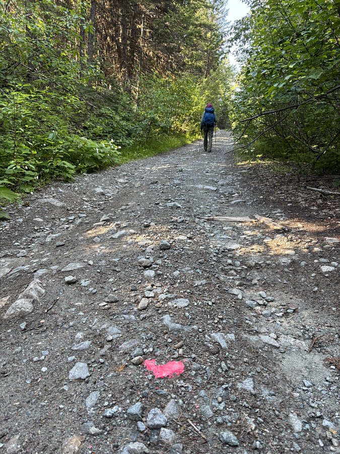 |
Someone has painstakingly painted pink splotches at regular intervals along the access road. |
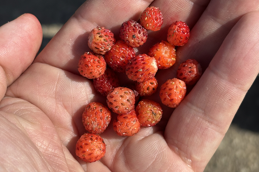 |
Wild strawberries help alleviate the monotony of hiking the access road. |
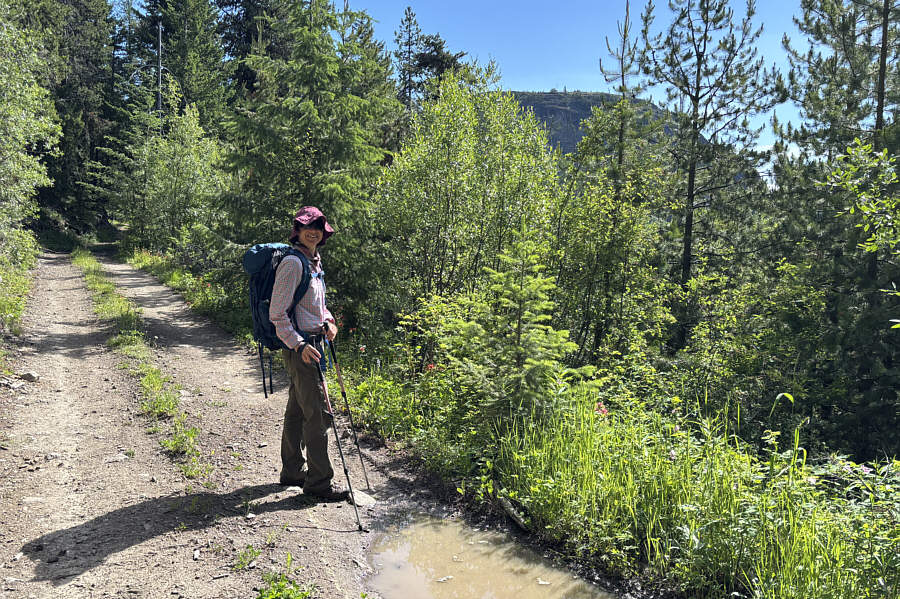 |
Zosia catches her first glimpse of Goat Peak's summit block through the trees. |
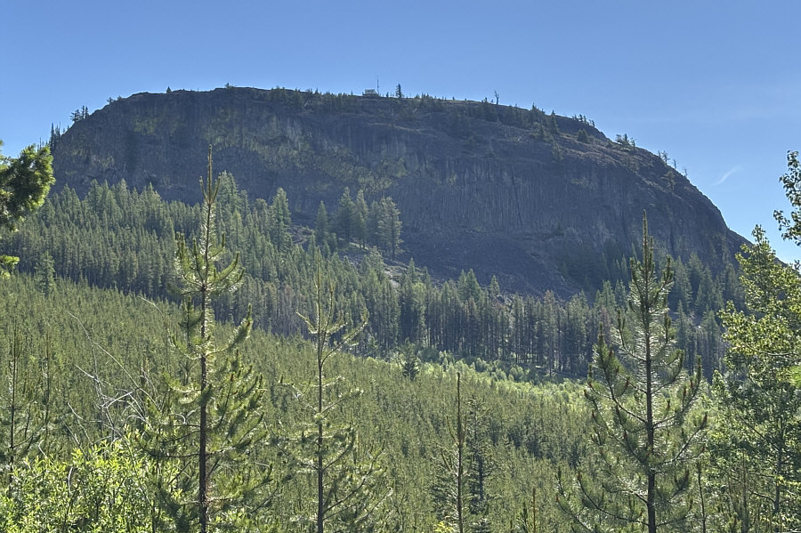 |
Here is a clearer view of the summit block. |
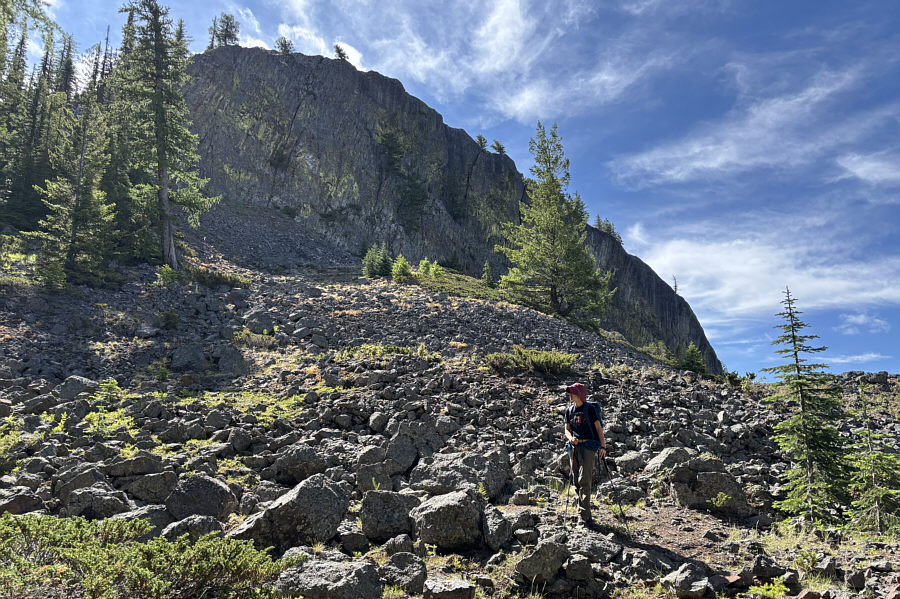 |
Zosia stands below the cliffs of the summit block near road's end. |
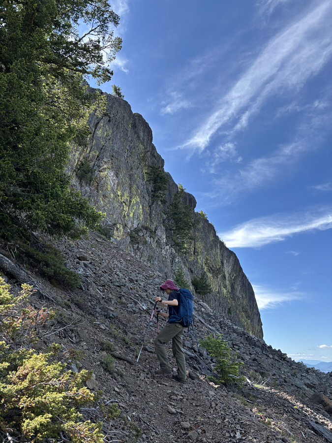 |
Zosia ascends a good trail below the cliffs. |
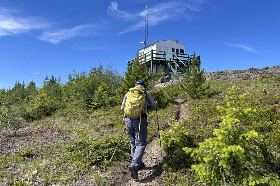 |
Sonny approaches an abandoned
fire lookout which sits atop of Goat Peak. Photo courtesy of Zosia Zgolak |
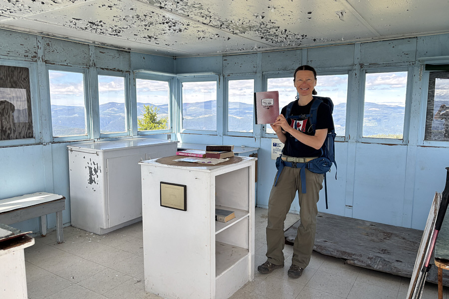 |
Zosia holds up a visitors' log book inside the fire lookout. |
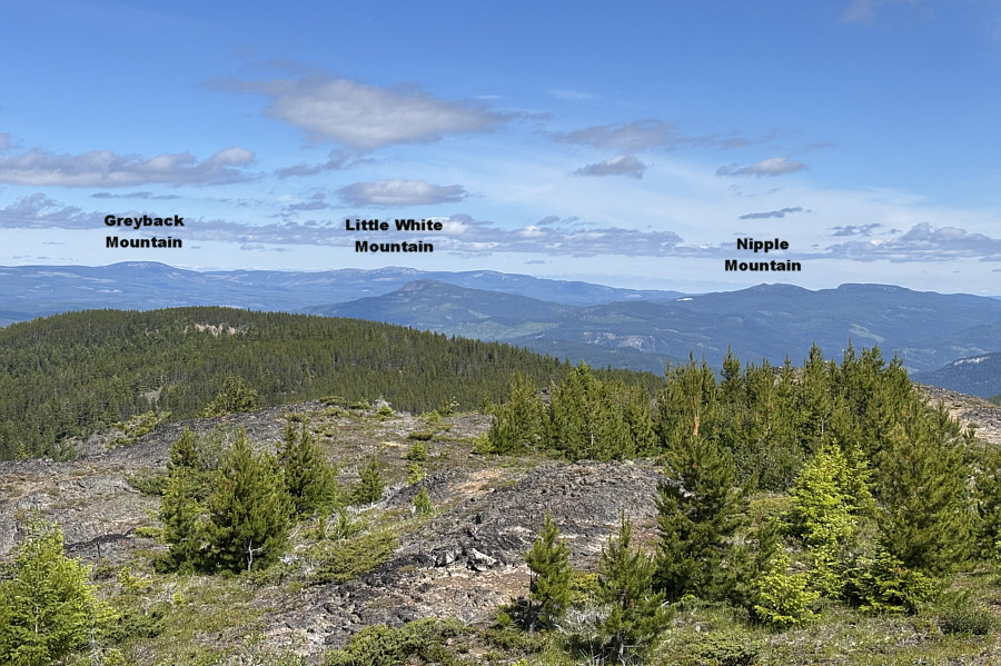 |
Here is the view to the northwest from the top of Goat Peak. |
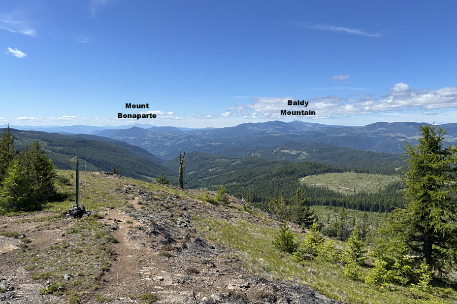 |
This is looking south from the fire lookout. |
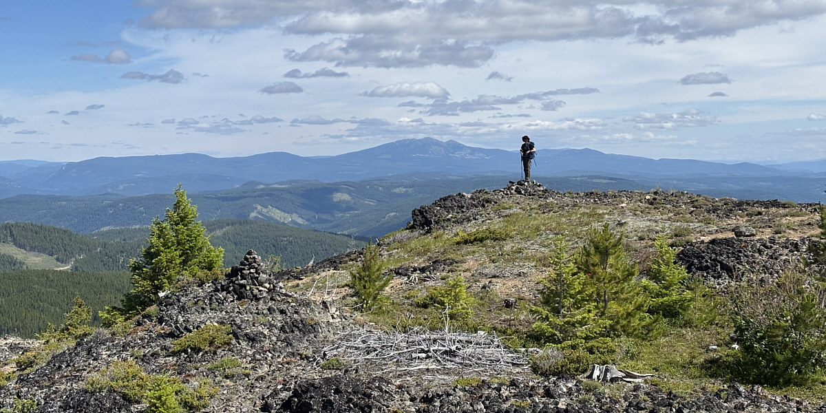
Zosia stands at the north end of the summit block with Big White Mountain visible behind her.
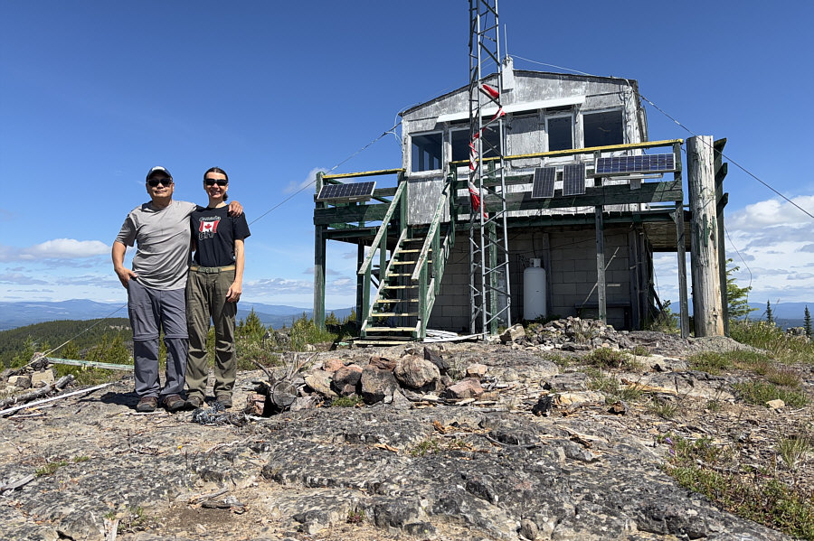 |
Sonny and Zosia stand in front of the fire lookout at the top of Goat Peak (1747 metres). |
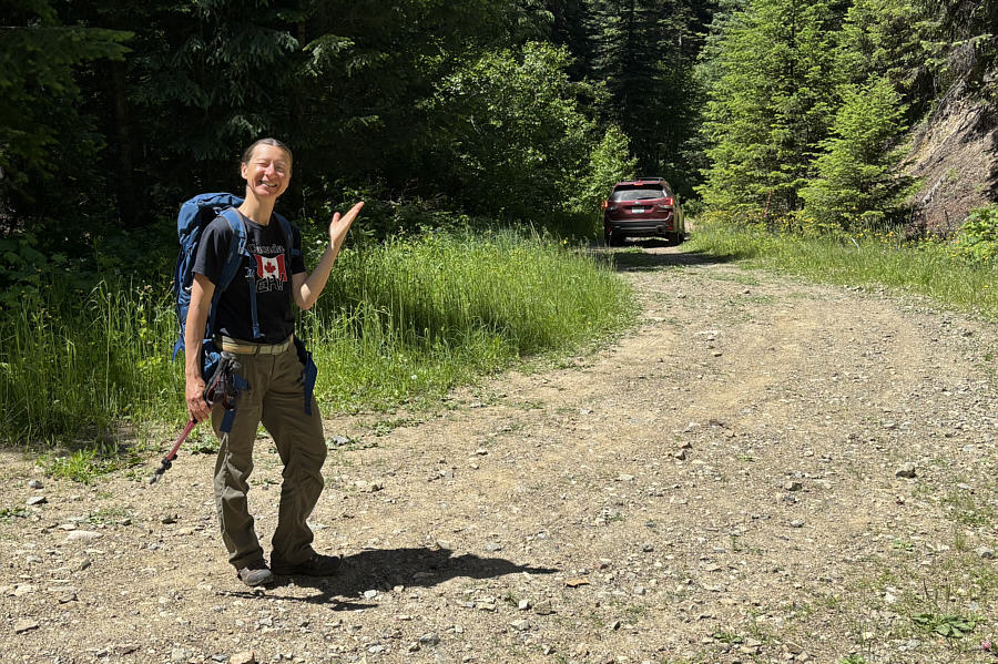 |
Zosia salutes the hikers driving away who gave her and Sonny a ride back to their parked car. |
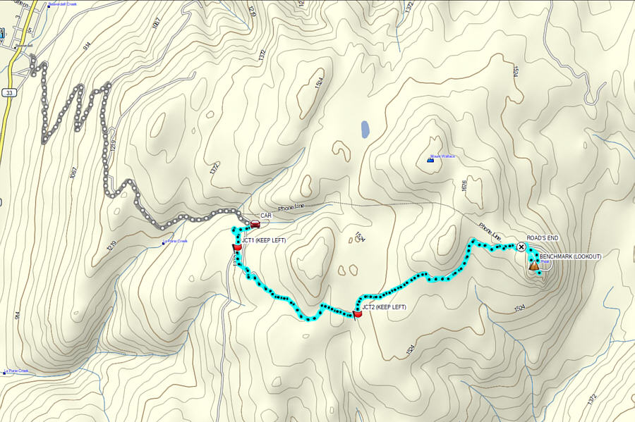 |
Total Distance: 11.3 kilometres Round-Trip Time: 4 hours 8 minutes* Cumulative Elevation Gain: 399 metres * Includes descent via motor vehicle |