At the tower, Zosia and I were greeted by a female fire lookout and her very friendly dog, Hudson. We had a pleasant chat with the lady but never learned her name--Chris--until nearly a week later from another female fire lookout. Furthermore, it would be long after our road trip was over before I realized that Chris is a blogger herself with an excellent website which I have come across several times in the past. Disappointingly, we learned from Chris that the access road to Harts Pass--a destination we were hoping to visit the following day--was closed as a precaution against the threat of a looming nearby wildfire.
When we finished chatting with Chris and petting Hudson, Zosia and I dropped down a short distance below the south side of the summit to have a snack break. For our return trip, we climbed back up to the tower and then backtracked along the same trail. We made it back to the trailhead without any problems, and the subsequent long drive out to Mazama was also uneventful. We made a point of stopping at Mazama's general store to try some of their much-lauded fresh bakery before moving on.
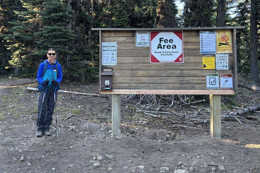 |
The sign at the trailhead includes warnings for bears and rattlesnakes. |
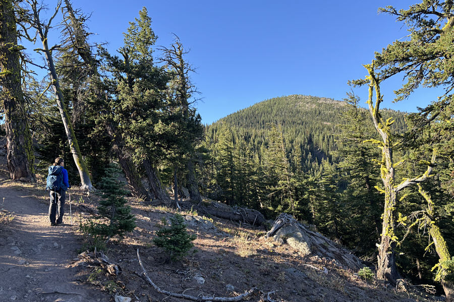 |
Zosia gets her first glimpse of Goat Peak from the trail. The summit is not visible here. |
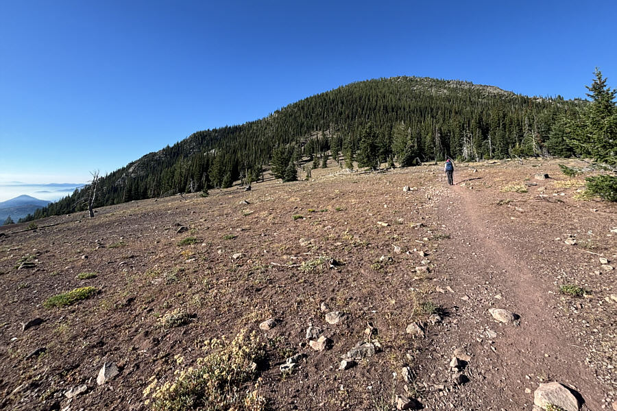 |
The trail crosses a small plateau before rising in earnest up the forested slope ahead. |
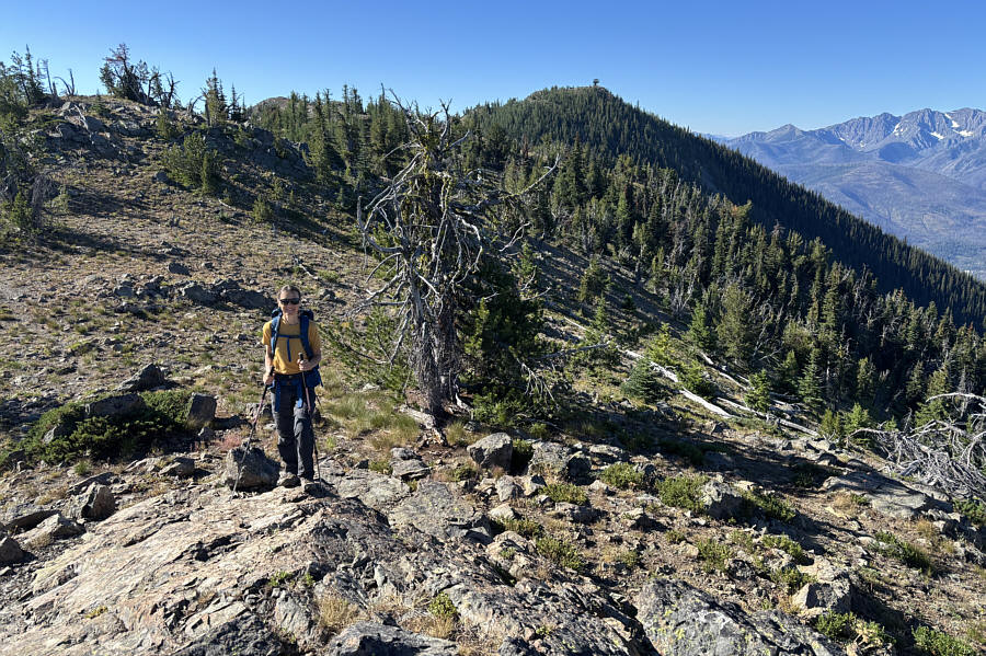 |
Zosia briefly leaves the trail to gain a knob (G1; 2082 metres) at the north end of the summit ridge. The fire lookout tower is visible on the summit in the distance. |
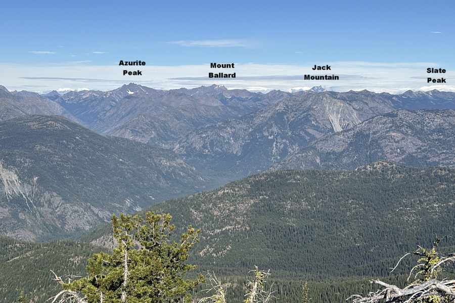 |
Numerous peaks stretch across the western horizon in this view from G1. |
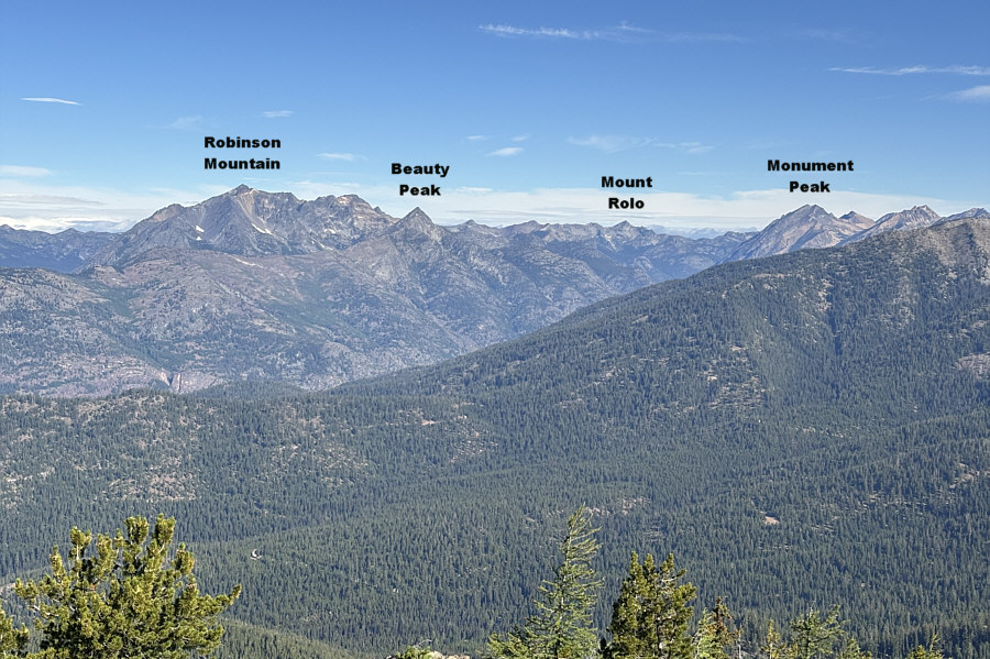 |
This is looking northwest from G1. |
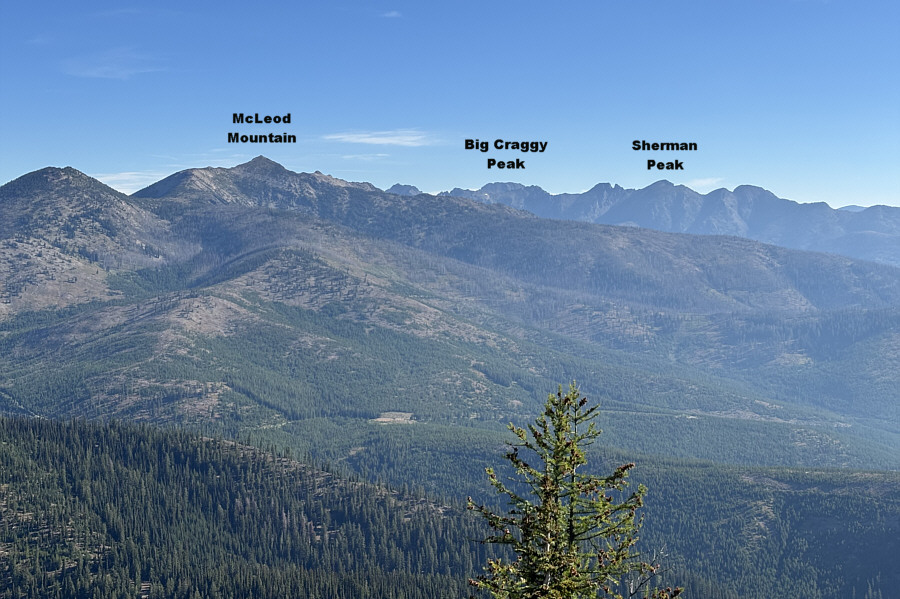 |
Here is the view to the north from G1. |
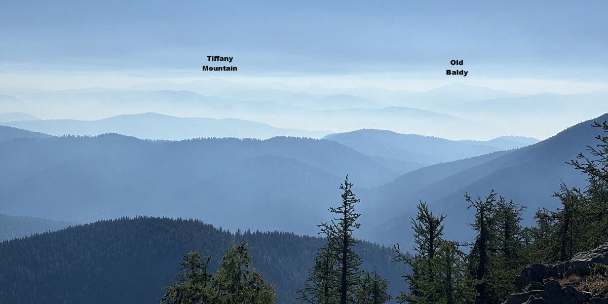
Haze from wildfire smoke nearly obscure distant peaks to the east.
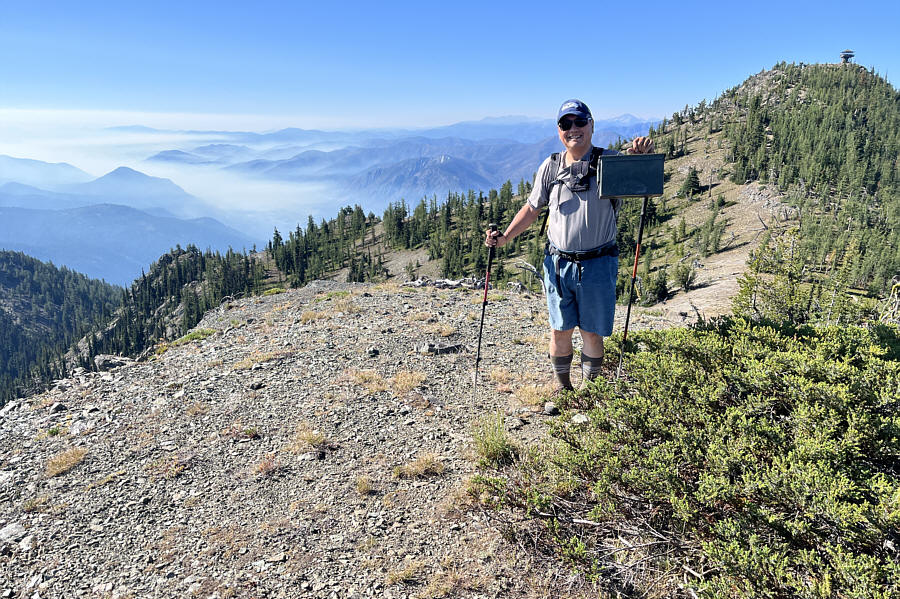 |
Sonny discovers a geocache on a subsidiary high point (2099 metres)
along the summit ridge. Photo courtesy of Zosia Zgolak |
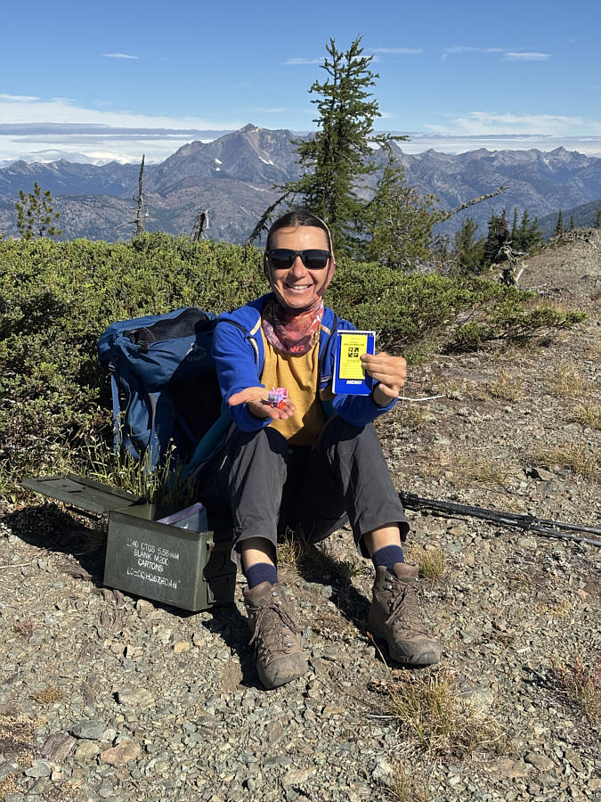 |
Zosia shows off the contents of the geocache. |
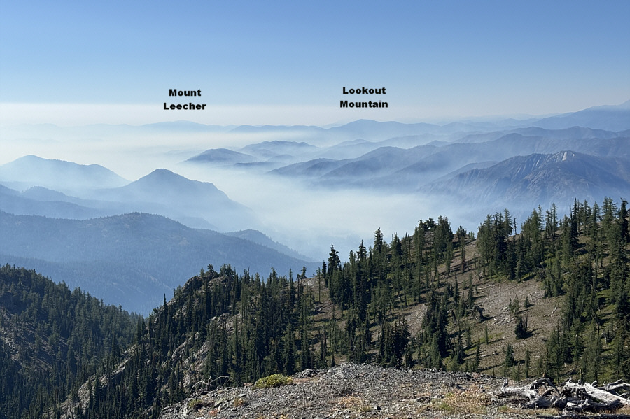 |
Wildfire smoke begins to creep up from the valley to the southeast. |
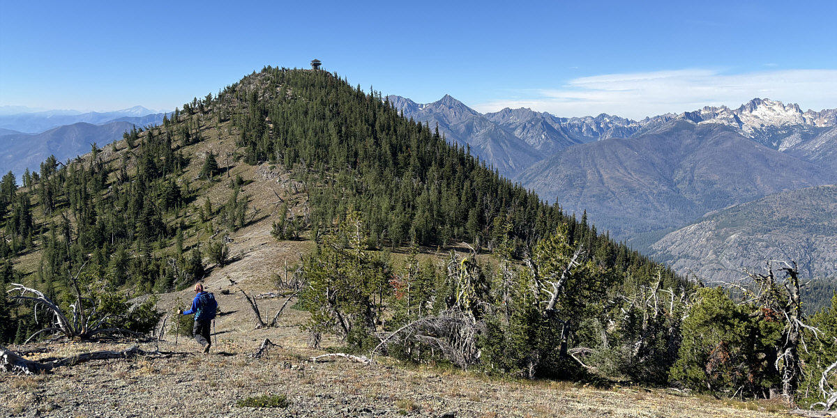
Zosia makes the final push to the top of Goat Peak.
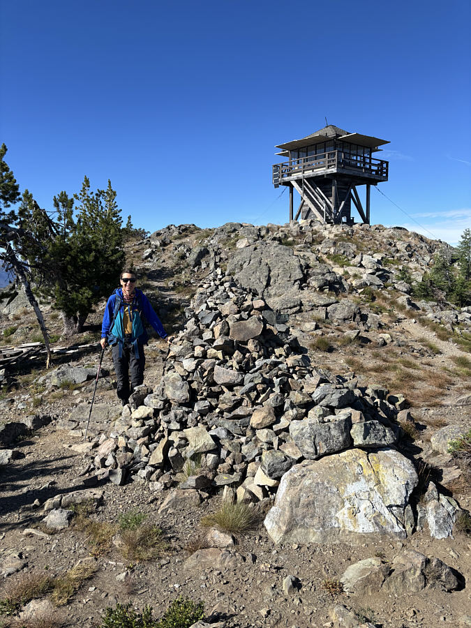 |
This massive cairn commemorates the people who have manned the Goat Peak fire lookout tower. |
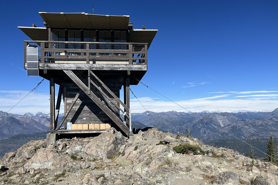 |
Here is a closer look at the fire
lookout tower. The summit benchmark (2136 metres) is located on
the lower concrete step at the foot of the stairs. Photo courtesy of Zosia Zgolak |
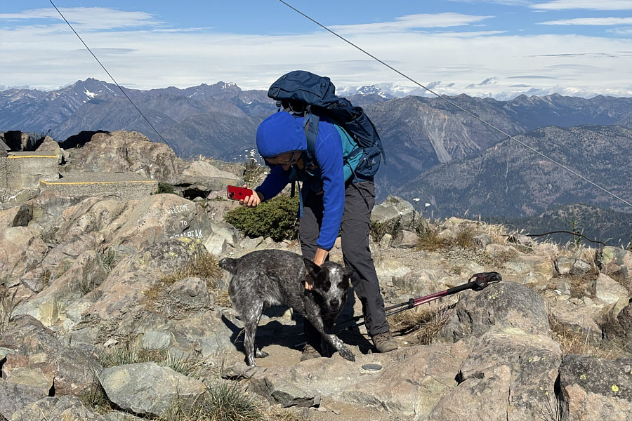 |
Zosia is greeted by the resident lookout's very friendly dog named "Hudson". |
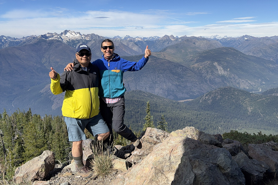 |
Sonny and Zosia give thumbs up for the views from the top of Goat Peak. |
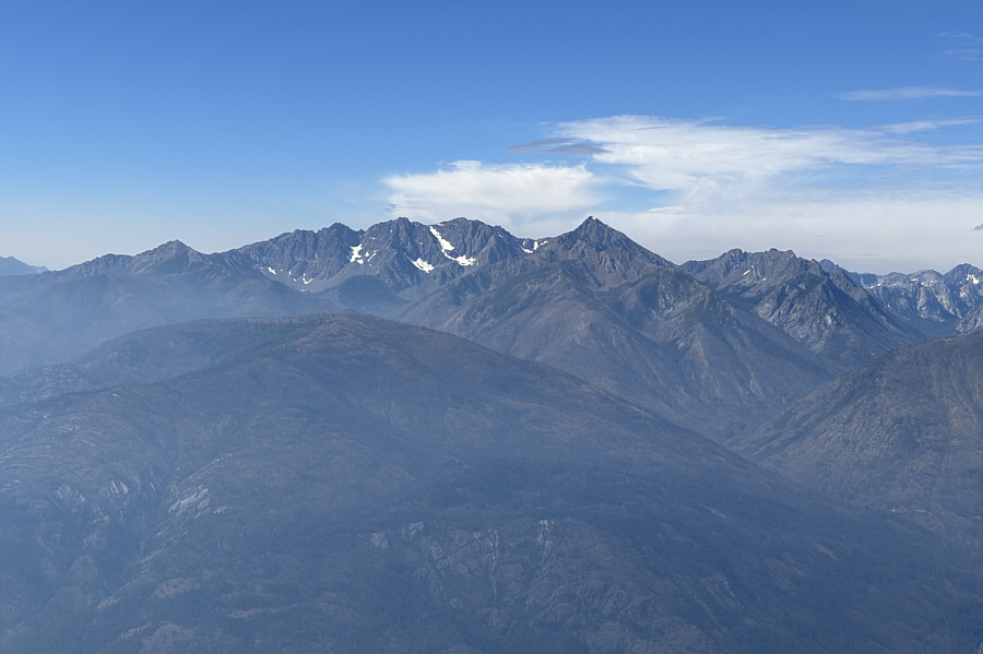 |
To the south are Gardner Mountain and pointy North Gardner Mountain. |
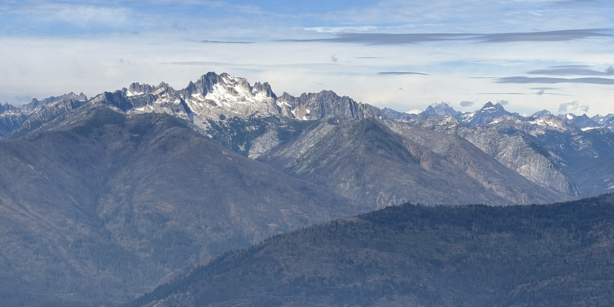
Of all the peaks surrounding Goat Peak, Silver Star Mountain to the southwest probably garners the most attention.
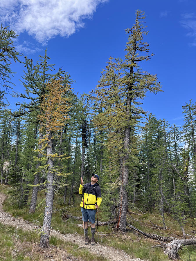 |
A couple of larches on Goat Peak have
already started to turn golden. Photo courtesy of Zosia Zgolak |
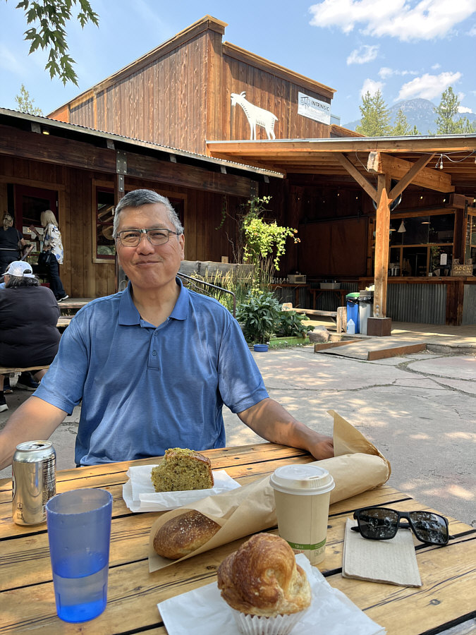 |
After the hike, Sonny enjoys some
baked goods and refreshments at
The Mazama Store
located in its namesake community. Photo courtesy of Zosia Zgolak |
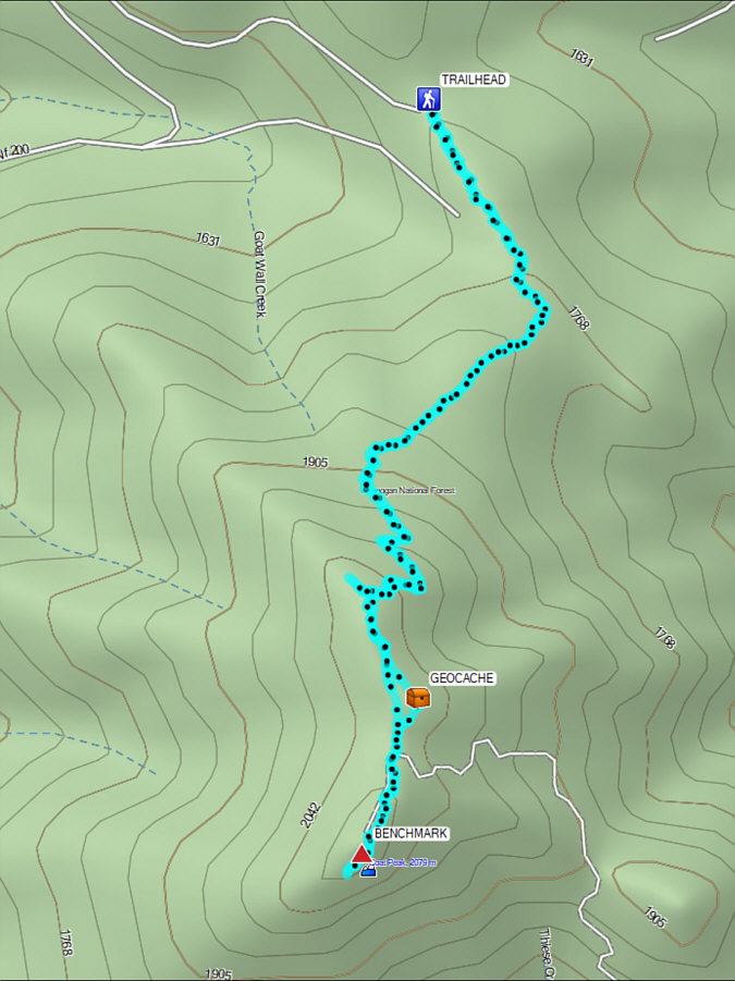 |
Total Distance: 6.4 kilometres Round-Trip Time: 4 hours 27 minutes Cumulative Elevation Gain: 411 metres |