BOU AVENUE
Lake Serene And Heybrook Mountain

Zosia Zgolak and I hiked to Lake Serene located near the town of Index, Washington on 29 July 2026.  A well-maintained and exceedingly popular trail rises over 600 metres to the lake which is nestled below the spectacular northeast face of Mount Index.  Along the way is a short but worthwhile detour to Bridal Veil Falls.  The trailhead (47.80916, -121.57404) with vault toilets is easily accessed via Mt Index Road at a turnoff on the south side of US Highway 2 about 32.0 kilometres east of Monroe.  Parking here requires a day-use fee ($5 USD) or a federal annual (Northwest Forest or America the Beautiful) pass, and while tenting is not permitted, overnight camping inside a vehicle is allowed.

After sleeping in our car the previous night at the trailhead, Zosia and I got off to a fairly early start to try and avoid the crowds, but there were already people on the trail.  The trail was pretty easy to follow though it looked like it had been re-routed not far from the beginning due to some washouts.  About 2.5 kilometres from the start, we turned off at a signed junction to climb up to Bridal Veil Falls about half a kilometre further.  We were not the first hikers to reach the falls on this day, but we were fortunate to have them to ourselves for a precious few minutes before other hikers arrived.  Upon returning to the junction, we settled into a rather long but straightforward march up the rest of the trail to Lake Serene.  At the lake, we took another short detour to a viewpoint called "Valley Overlook" which is seemingly ignored by the majority of other hikers.  Returning to the lake, we continued along the north shore for another 150 metres to a huge boulder known appropriately as "Lunch Rock".  We stopped here for lunch and were entertained by a group of young men diving into the far side of the lake.

The trail was heavily congested in places during our return hike, but by slowing down and letting others pass, Zosia and I were able to enjoy a bit more solitude.  When we eventually returned to the trailhead, we packed up our gear and drove to a roadside coffee stand (Espresso Chalet) for some refreshments and an early dinner.
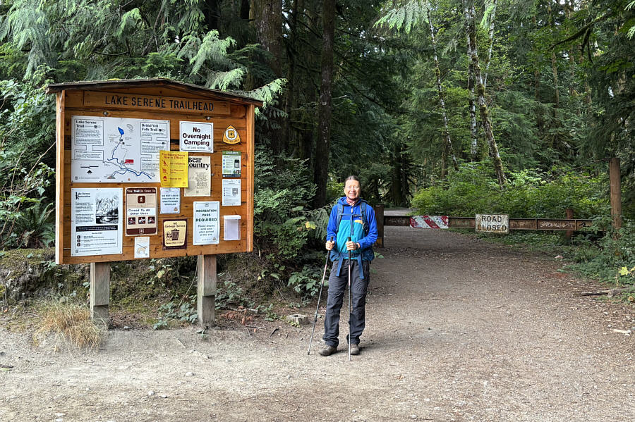
The "NO OVERNIGHT CAMPING" sign refers to the lake and NOT the trailhead. Zosia pauses beside the trailhead sign at the start of the hike.
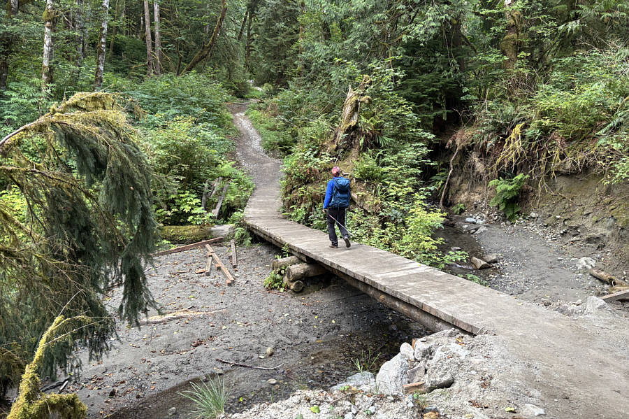
Same goes for sections of trail beyond this bridge--probably all washed out at one point in the past. This foot bridge near the start of the trail appears to have been rebuilt at some point.
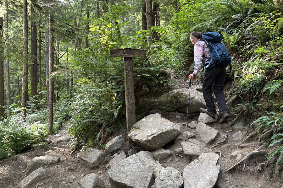
Best to do this first 'cause you ain't gonna feel like doing extra hiking on the way back from the lake! Zosia arrives at a junction with the trail to Bridal Veil Falls.
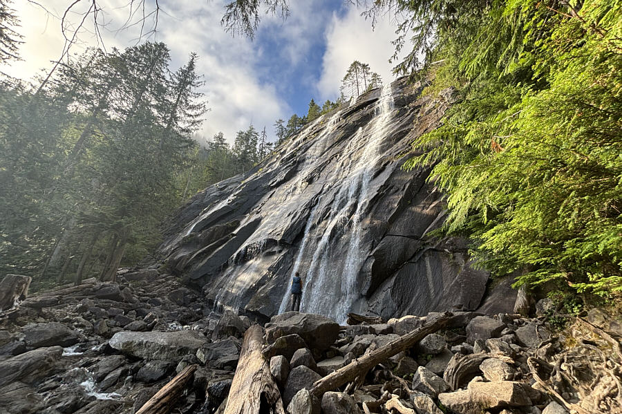
Hard to photograph without wide-angle lens. Zosia arrives at the foot of Bridal Veil Falls.
We were lucky to have the falls all to ourselves for a few minutes!

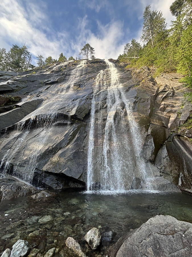
Here is a closer look at Bridal Veil Falls.  Click on the photo to see a short video of the waterfall.
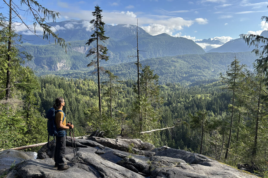
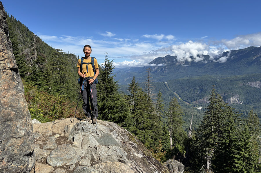
These are the last views for awhile until you reach the lake. The area near the falls grants some limited views across the valley to the north.
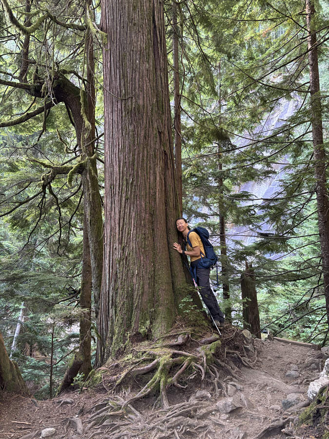
Tree-hugger! Zosia feels relaxed when hiking among giant cedar trees.
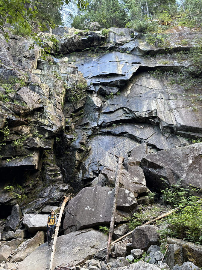
Probably looks more impressive in spring or early summer. Back on the trail to Lake Serene, Zosia stops below Lower East Bridal Veil Falls which disappointingly only has a small trickle of water flowing on this day.
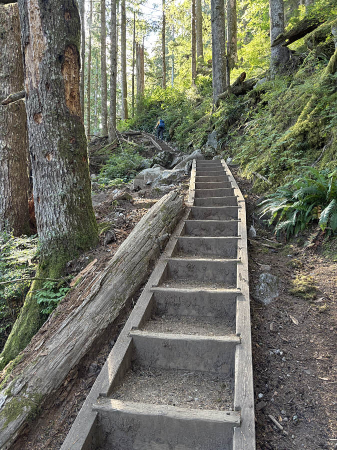
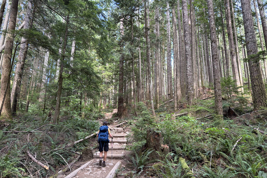
Oh no! How dare they build staircases here!  The climb to Lake Serene includes many staircases just like this one.
Most people that hike to the lake don't bother with this detour.  A side trail near Lake Serene leads to this viewpoint--called "Valley Overlook"--overlooking Skykomish River valley.

Was this worth the long hike to get here?

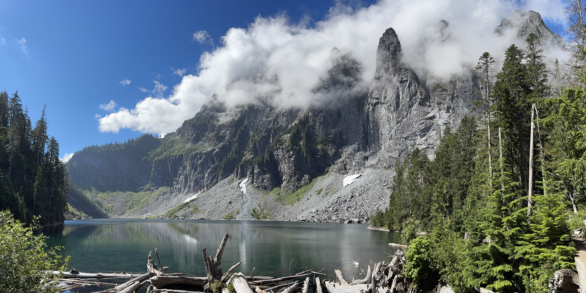
Here is a first view of Lake Serene with the top of Mount Index mostly shrouded in clouds.
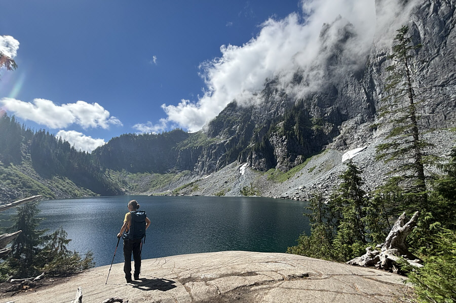
 

Boy, that sun already feels hot! Zosia arrives at "Lunch Rock", a popular spot for hikers to take a break while visiting Lake Serene.
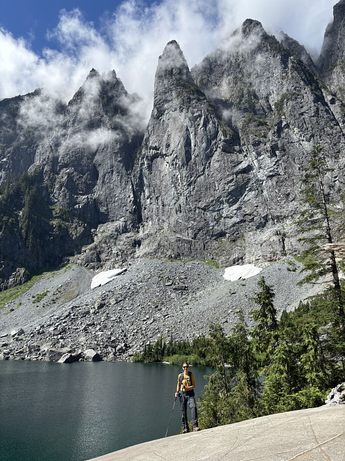
Can you spot the group of crazy young men jumping into the lake on the other side? Zosia poses on Lunch Rock below some impressive pinnacles of Mount Index.

Might be worth scrambling up someday...

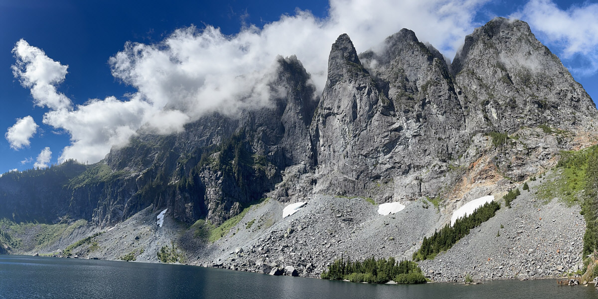
Here is a last look at the Mount Index massif towering over Lake Serene.
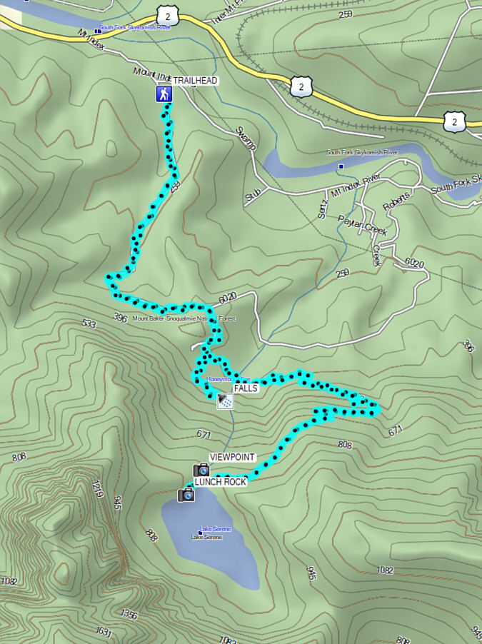
 

For a hike that is mostly in forest and arduously long, its undeniable popularity is a bit puzzling to me. Total Distance:  17.4 kilometres
Round-Trip Time:  7 hours 33 minutes
Cumulative Elevation Gain:  792 metres

GPX Data

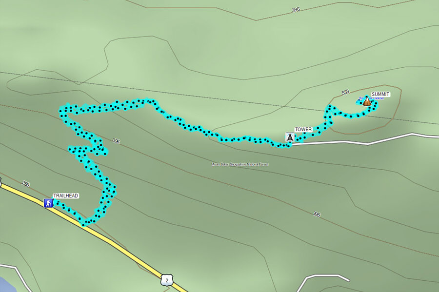
With some daylight left, Zosia and I tacked on an ascent of nearby Heybrook Mountain on the north side of US Highway 2.  Known more for a renovated fire lookout tower which can be rented for overnight stays, the mountain is actually just a minor knob along a much larger land feature known as Heybrook Ridge.  Nevertheless, Heybrook Mountain is an officially-named summit according to the USGS Geographic Names Information System and is easily accessed by a good trail which starts right from a pullout (47.80834, -121.53508) along US Highway 2 (use caution when moving about the pullout as vehicles zip by here at high speeds).

Zosia and I began our ascent at a trailhead sign and were relieved to be hiking mostly in the shade of the forest sheltered from a scorching late day sun.  It took us about 45 minutes to climb the well-maintained trail to the fire lookout tower where most hikers stop even though this is not the actual summit of Heybrook Mountain.  There were a few raucous people at the tower when we arrived, and we opted to immediately push on to the summit without stopping.  Just past the tower, the trail intersects a grassy road which winds up the remaining short distance to the summit situated along a power line right-of-way.  We hung around the summit for about 15 minutes before retracing our steps back to the fire lookout tower.

Upon our return to the tower, Zosia and I found it pleasantly deserted, and we climbed the stairs to the lower observation deck.  When we had our fill of gazing at the surrounding mountains, we descended the stairs of the tower and hiked uneventfully back to the trailhead.
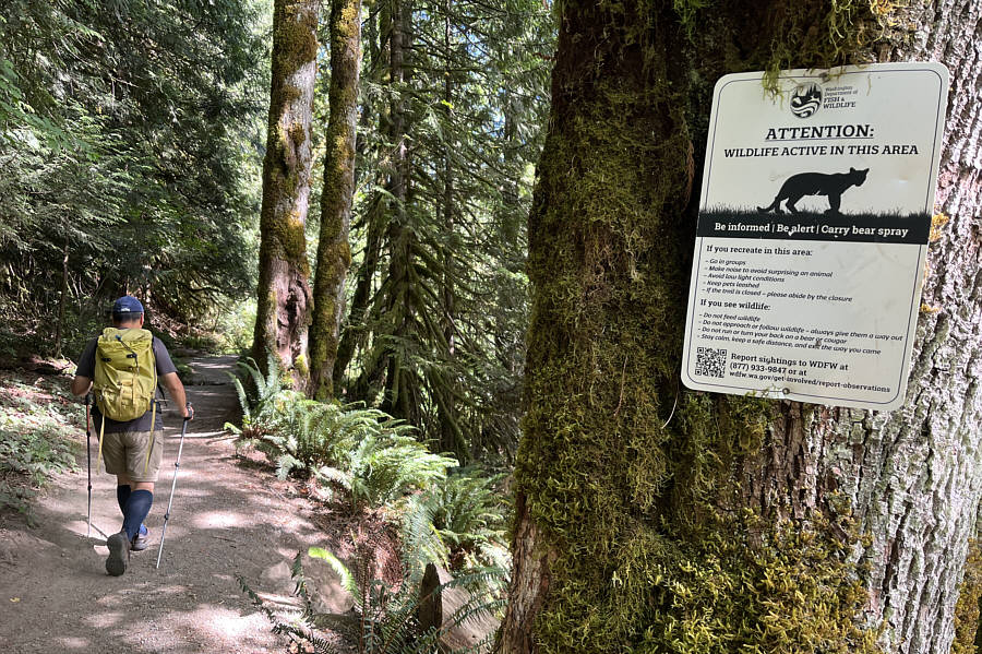
Why do they say "Carry bear spray" and then show a cougar on the sign? Late in the afternoon, Sonny starts up the trail to Heybrook Mountain.

Photo courtesy of Zosia Zgolak

But much shorter and not as steep! Much like the trail to Lake Serene, the ascent of Heybrook Mountain is mostly in forest.
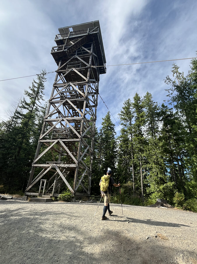
We wanted to avoid the loud yahoos here. Sonny passes a fire lookout tower but ignores it for the time being.

Photo courtesy of Zosia Zgolak

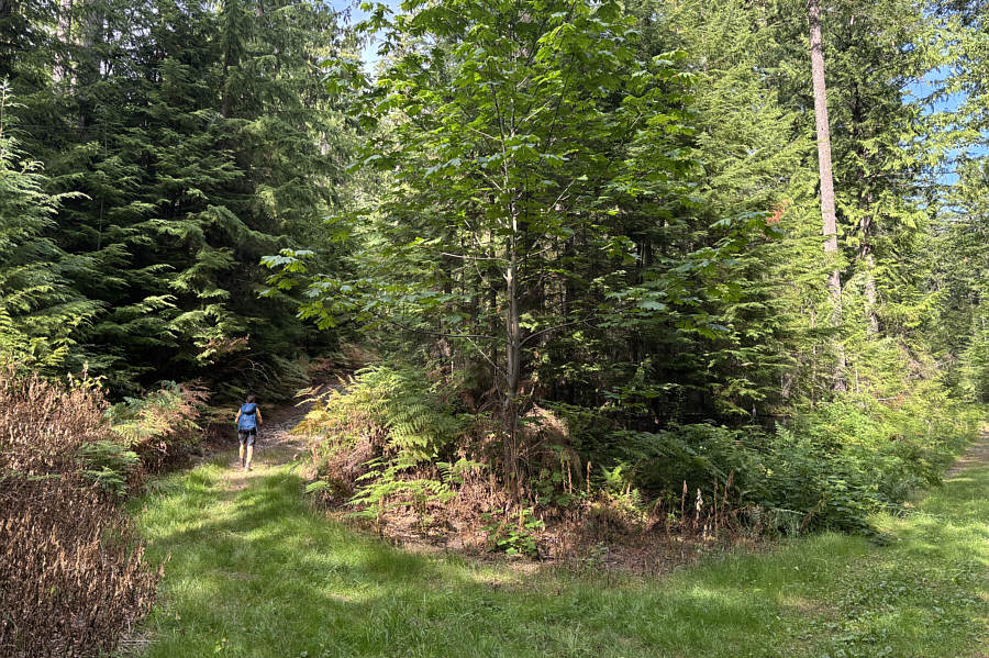
How convenient! Past the fire lookout tower, Zosia continues climbing on a partly grassy road.
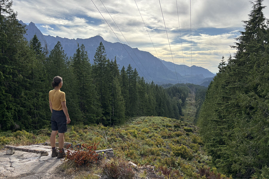
Better than no views! Zosia looks westward along a power line right-of-way which goes right over the top of Heybrook Mountain.
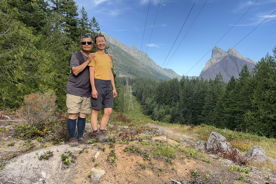
Baring Mountain is another possible scramble for the future... Sonny and Zosia stand near the summit of Heybrook Mountain (562 metres).  The double peak at right is Baring Mountain.
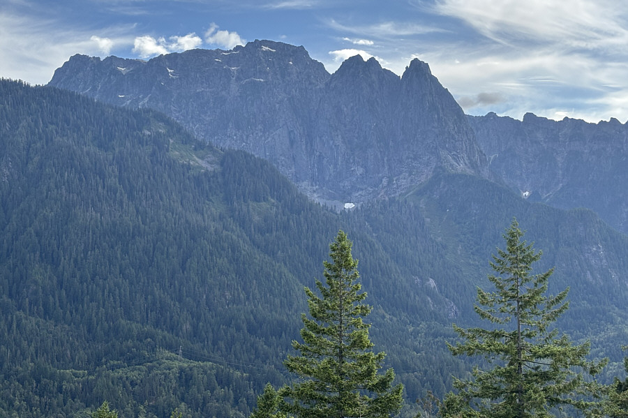
Probably still tons of people along the trail at this moment! Here is a view of Mount Index from the fire lookout tower.  Lake Serene is not visible but is just below the snow patch near centre.  Bridal Veil Falls can be seen at lower right.
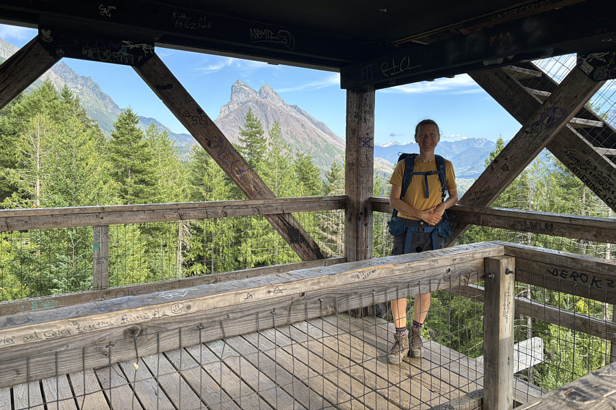
Having to go to the bathroom at night must suck! Zosia stands on the lower observation deck of the fire lookout tower which was built in 1964.  The upper part of the tower is only open to guests who have made a booking for an overnight stay (sleeps 4; $75 USD per night).
Easy hike to an officially-named summit...'nuff said! Total Distance:  6.3 kilometres
Round-Trip Time:  2 hours 5 minutes
Cumulative Elevation Gain:  304 metres

GPX Data