BOU AVENUE
Larch Hills
Hoping to escape inclement weather in Alberta, Zosia Zgolak and I drove out to Sicamous, British Columbia and tagged the high point of nearby Larch Hills on 10 October 2026.  Tucked between Shuswap Lake and Mara Lake, these forested hills are home to a network of signed roads/trails which are probably more frequented by mountain bikers and cross-country skiers than hikers.  Because the hills are officially-named though, the highest hill does attract some attention from peak-baggers, and in particular, we were inspired by Steven Song's 2025 trip report.  Hoping to avoid the numerous water bars that Song drove over on his approach though, we would start from a slightly different location and also include a side trip to a nearby lake.  Useful maps of the area are available from The Larch Hills Nordic Society.

From Trans-Canada Highway, turn south onto a 2WD gravel road (FSR SUMMIT 4609 03), 16.1 kilometres west of the intersection with Highway 97A in Sicamous or 10.5 kilometres northeast of the intersection with Highway 97B in Salmon Arm.  This turnoff is not well-marked and can be tricky to make in the midst of speeding traffic in either direction--use caution.  Drive 2.5 kilometres and pass a parking pullout with an outhouse (Rubberhead Recreation Site).  Ignore any side roads and continue on FSR SUMMIT 4609 03 for another 5.8 kilometres to a split.  The right-hand branch is Song's approach with reportedly numerous water bars.  Take the left-hand branch--has a small handful of mostly small water bars (high-clearance vehicle still recommended)--and drive another 3.3 kilometres to a junction with a ski trail signed "Larch Ledge".  Park here (50.76863, -119.13853) without blocking the main road (signed here as "The Moonshot").

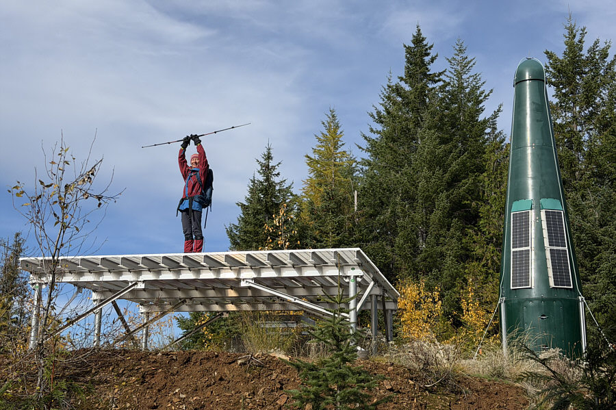
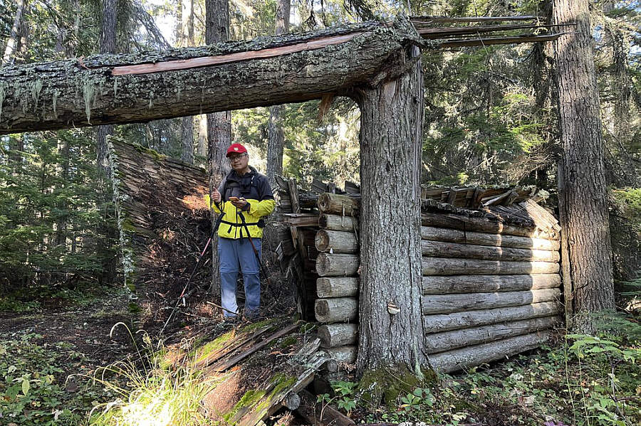
From where we parked, Zosia and I followed Larch Ledge southward before turning onto "Summit Connector" at a signed junction.  We then intersected "Summit Trail" (Song's route) near a helipad and green rocket.  After a short detour to the helipad, we briefly followed Summit Trail southward before abandoning it to bushwhack up to the viewless high point.  With little reason to linger there, we immediately backed out of the bush to regain Summit Trail and then retraced our steps down Summit Connector to Larch Ledge.  Instead of returning the same way from there, we turned southward again and followed Larch Ledge to a four-way junction with "Sidehill Salmon" and "Deer Track".  We nearly missed Deer Track since the sign was partially hidden and the initial part of the trail was a bit overgrown.  Following Deer Track eastward led us to the ruins of an old cabin and subsequently the marshy shore of unofficially-named "Larch Lake".  Disappointingly, there are no larches at the lake, but we stopped for a short break anyway.

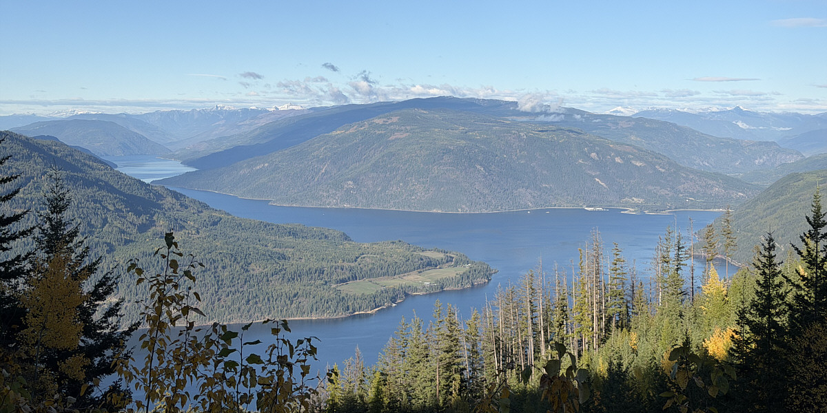
When we resumed hiking, Zosia and I continued eastward along a short section of "Lunar Loop" before intersecting "Clearcut Connection".  We turned left (north) here and followed Clearcut Connection to its junction with The Moonshot.  Turning left again, we easily hiked the remaining distance back to our car.  Ironically, the best view of the entire hike was right where we had parked.
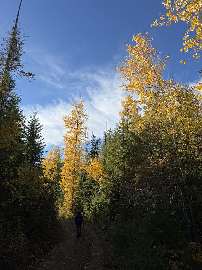
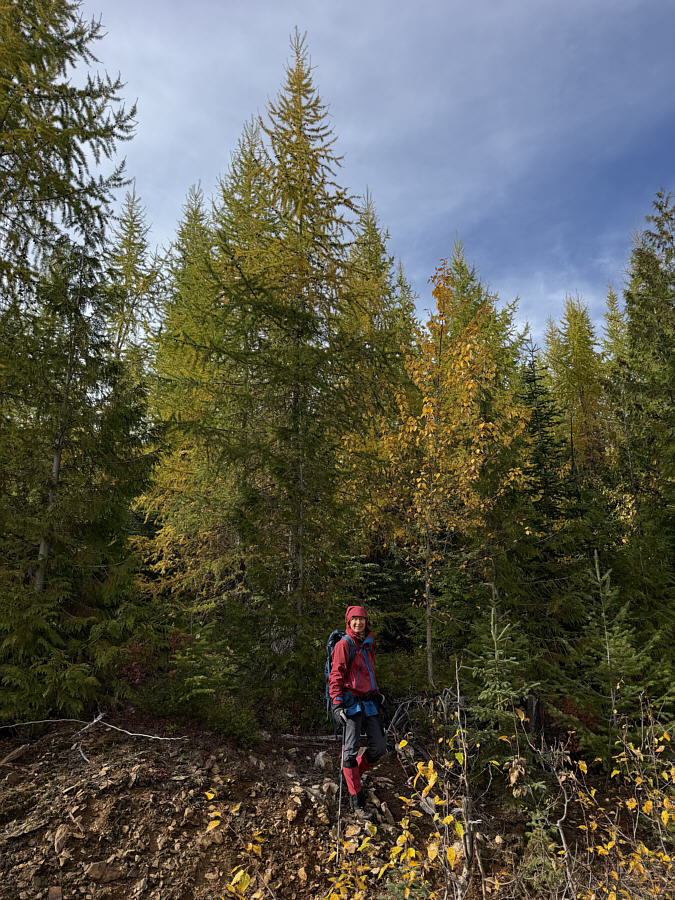
Those yellow trees aren't larches! Zosia begins hiking along "Larch Ledge".
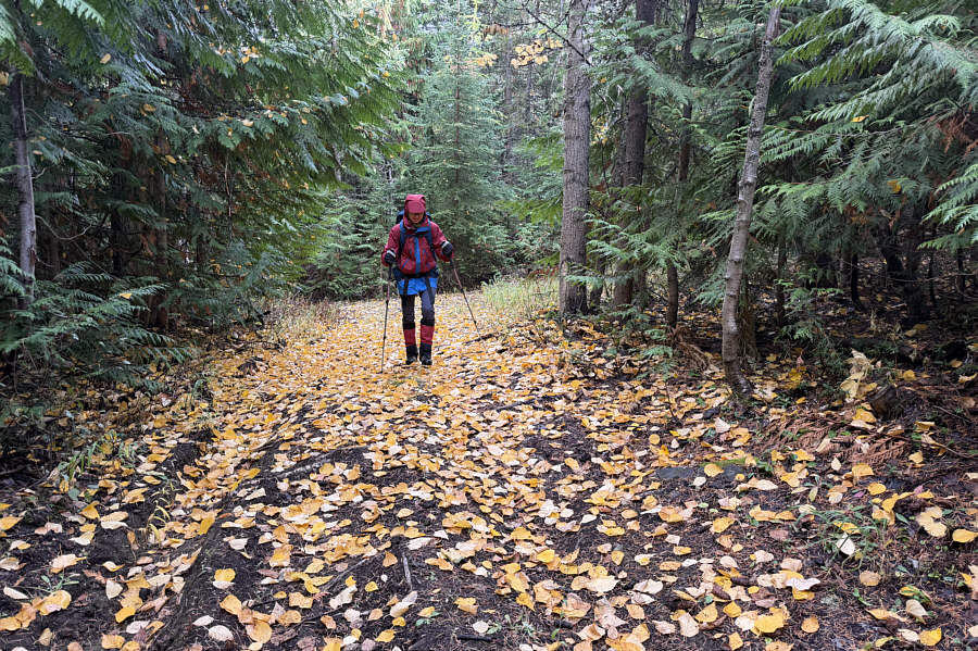
The joys of hiking in autumn! Zosia walks on a carpet of fallen leaves.
Black Hawk Down Zosia pretends to be a helicopter landing on this helipad.
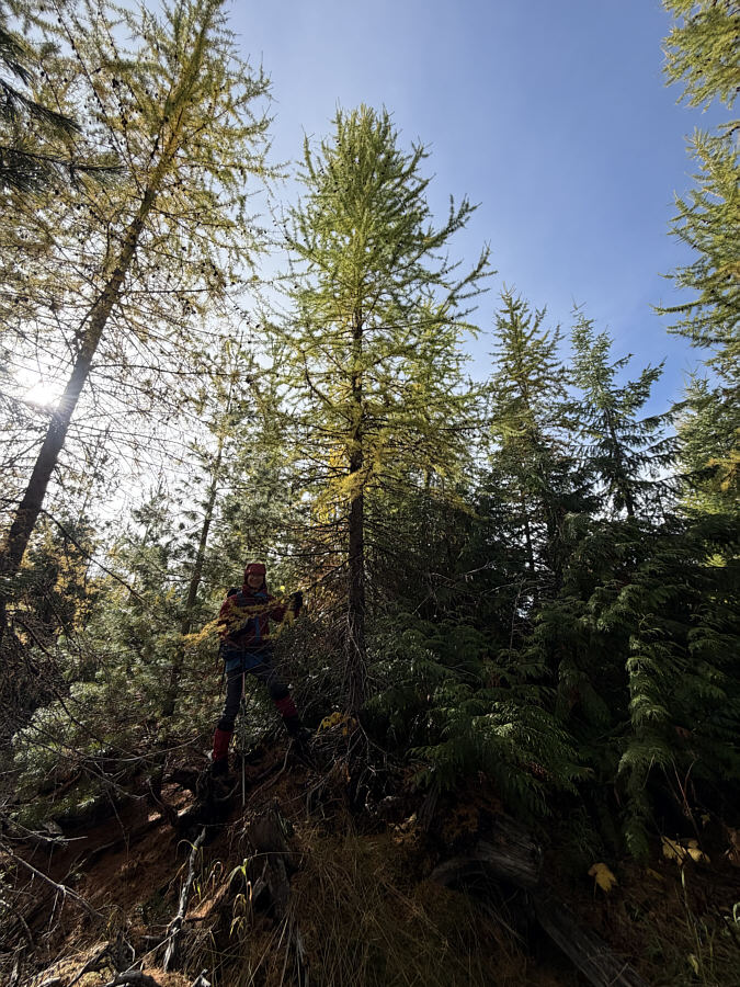
The bushwhacking was short and not bad. Zosia wades into the larch-filled bush in search of the high point of Larch Hills.
The hills' high point lives up to its name! Zosia stands under a larch tree on the high point of Larch Hills (1399 metres).
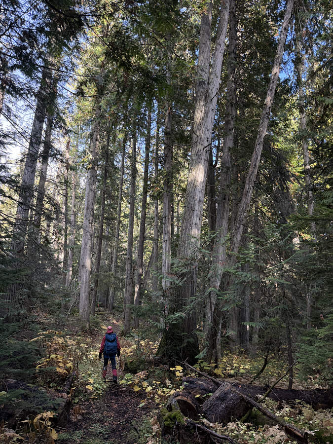
It's always nice to walk under cedar trees. Zosia follows "Deer Track" under some cedar trees.
Would make for a cheap Airbnb! Sonny stands among the ruins of an old cabin in the forest.

Photo courtesy of Zosia Zgolak
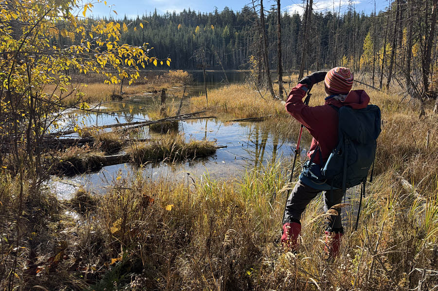
Meh. Zosia arrives at "Larch Lake".
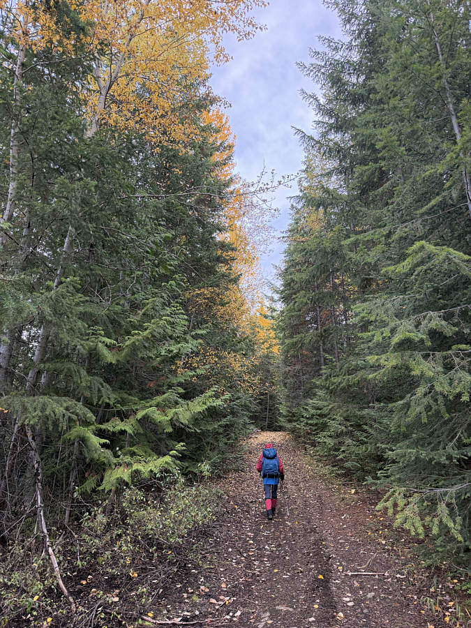
No larches needed! Autumn colours are on full display along "The Moonshot".

Better than no views at all!

The best view of the hike is right at the starting point.  This is the Salmon Arm of Shuswap Lake.
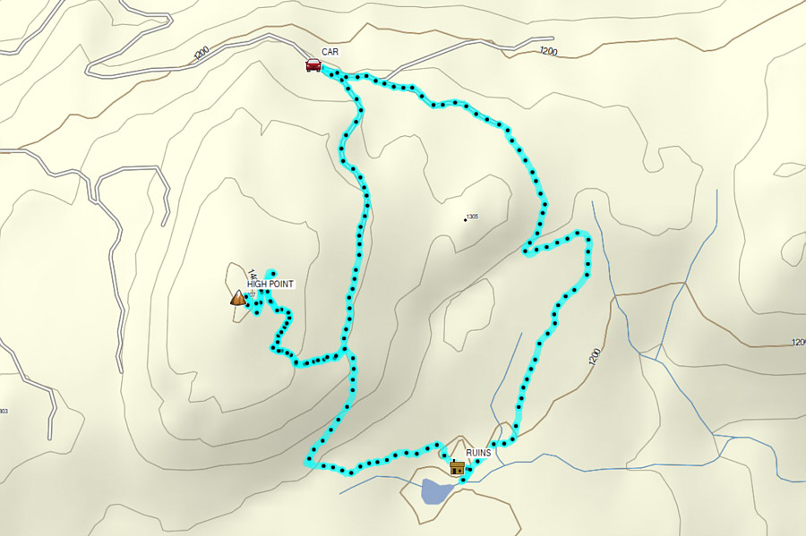
 

A mostly pleasant loop when time is short and expectations are low. Total Distance:  7.5 kilometres
Round-Trip Time:  2 hours 37 minutes
Cumulative Elevation Gain:  189 metres

GPX Data