BOU AVENUE
Little White Mountain
Zosia Zgolak and I hiked up Little White
Mountain located in the quieter south end of British Columbia's
Myra-Bellevue Provincial Park on 29 June 2026. The summit is the site of
a former fire lookout and is easily accessed via a couple of different
trails. The shortest hiking route uses the Okanagan Highland Trail and
starts from a remote trailhead located near Canyon Lakes. The fly in the
ointment for this approach is a long and rather arduous drive to access
the trailhead.
From Highway 33, turn west onto McCulloch
Road (2WD gravel) 5.9 kilometres south of the junction with Big White
Road or 89.6 kilometres north of the junction with Highway 3. Drive
850 metres to a 4-way intersection and turn left (south) onto Okanagan
Falls Forest Service Road (FSR). Drive 21.3 kilometres and turn
right onto Greyback FSR. Drive 2.6 kilometres and veer right onto
Canyon Lakes FSR. Drive 6.7 kilometres to the Highland (Canyon
Lakes) trailhead (no facilities). The last 4 kilometres are quite
rough, and a high-clearance vehicle is strongly recommended.
Zosia and I drove to the trailhead the
previous rainy evening and camped there for the night. By morning, the
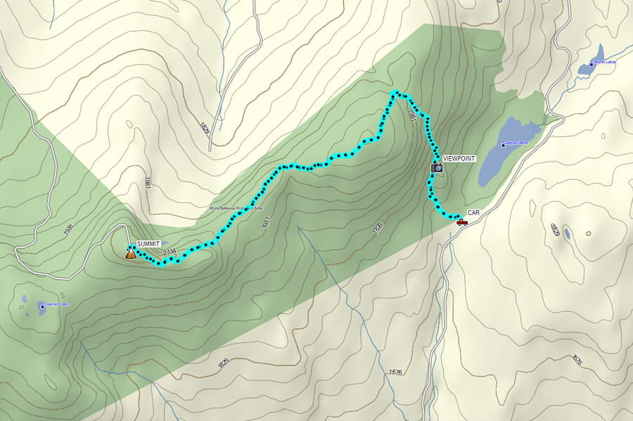
rain had already stopped, and we started up a well-marked trail which
climbs along the edge of a talus slope at the east end of Little White
Mountain. Partway up this initial section, we took a short detour to a viewpoint
overlooking Canyon Lakes before resuming our ascent. Just a bit
further, the
trail splits for a short distance with the lower trail entailing some
elevation loss while the upper trail requiring some tricky
boulder-hopping. We stuck with the more straightforward lower trail both
for the ascent and descent. A little more than two kilometres from the trailhead, we passed
a sign and turned westward to climb over a subsidiary bump of Little
White Mountain. Past this bump, the trail drops a bit and then levels out
in some delightful sub-alpine meadows before rising up to the summit
ridge. The trail becomes increasingly intermittent closer to the summit,
but the route is still fairly obvious and easy to follow. The summit
plateau is quite broad, and after wandering a bit, we determined that the
actual highest point is on a rock a short distance from a building beside
an enormous wooden telephone pole.
For our descent, Zosia and I basically retraced our steps along the
summit ridge and the trail all the way back to the trailhead. Despite
going over familiar ground, the return hike was just as enjoyable and
trouble-free as before. The drive out Canyon Lakes FSR was predictably
slow but manageable, and we breathed a huge sigh of relief once we
cleared the last rough section.
 |
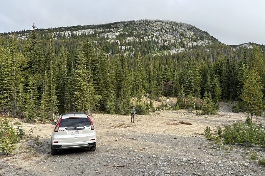
Zosia begins the hike from the
trailhead near Canyon Lakes. |
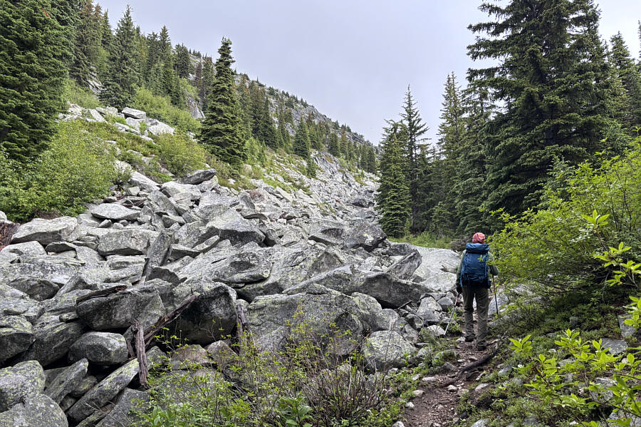
 |
The trail climbs alongside a talus slope. |
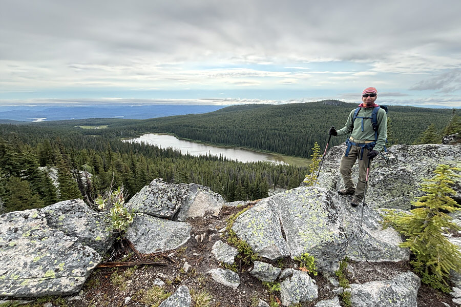
 |
A short detour from the main trail
leads to this viewpoint overlooking the largest of the Canyon Lakes. |
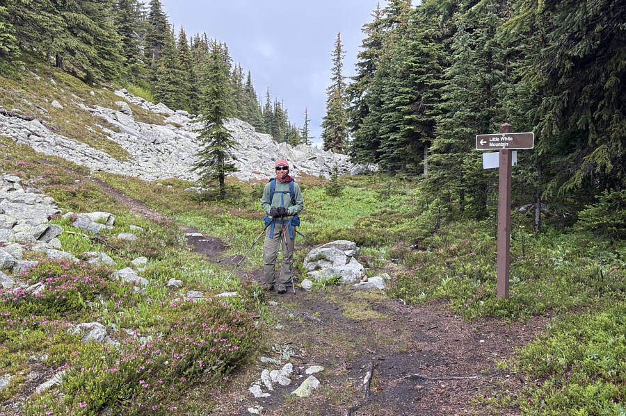
 |
Even though this is not really a trail
junction, a sign points the way to Little White Mountain. |
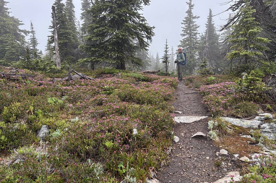
 |
There is an abundance of pink mountain
heather in the area. |
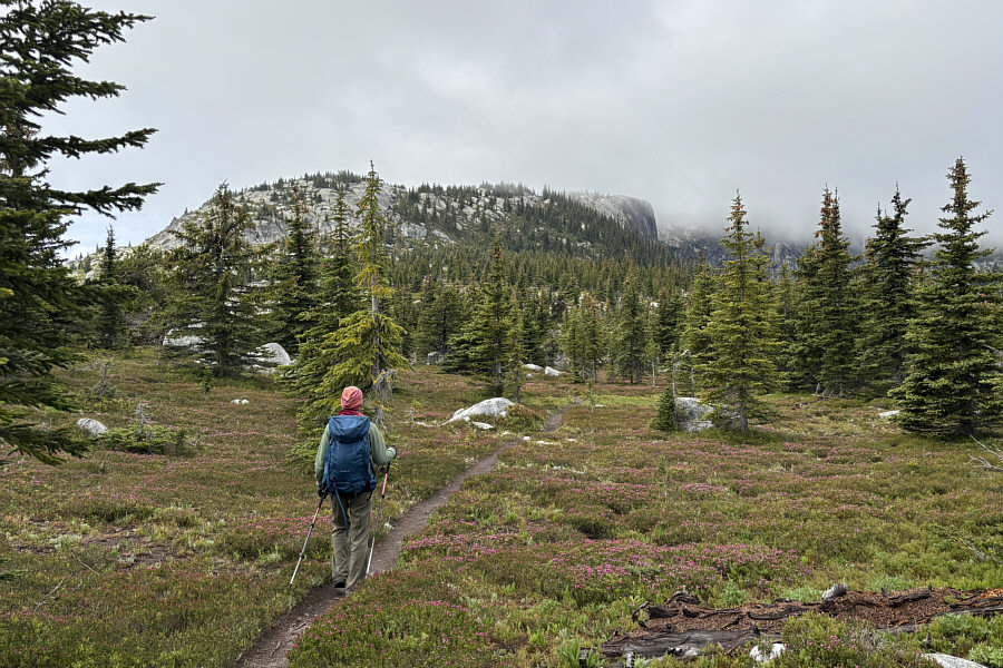
 |
The summit ridge is visible ahead, but
the summit itself is still obscured by clouds at right. |
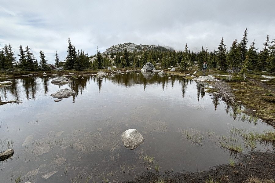
 |
Zosia stops beside a shallow pond next
to the trail. |
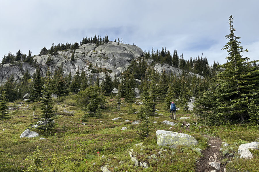
 |
Zosia approaches the rocks guarding
the summit ridge. |
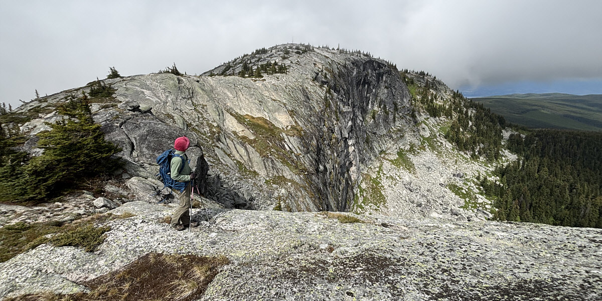
Zosia pauses to check out the impressive cliffs on the
final approach to the top.
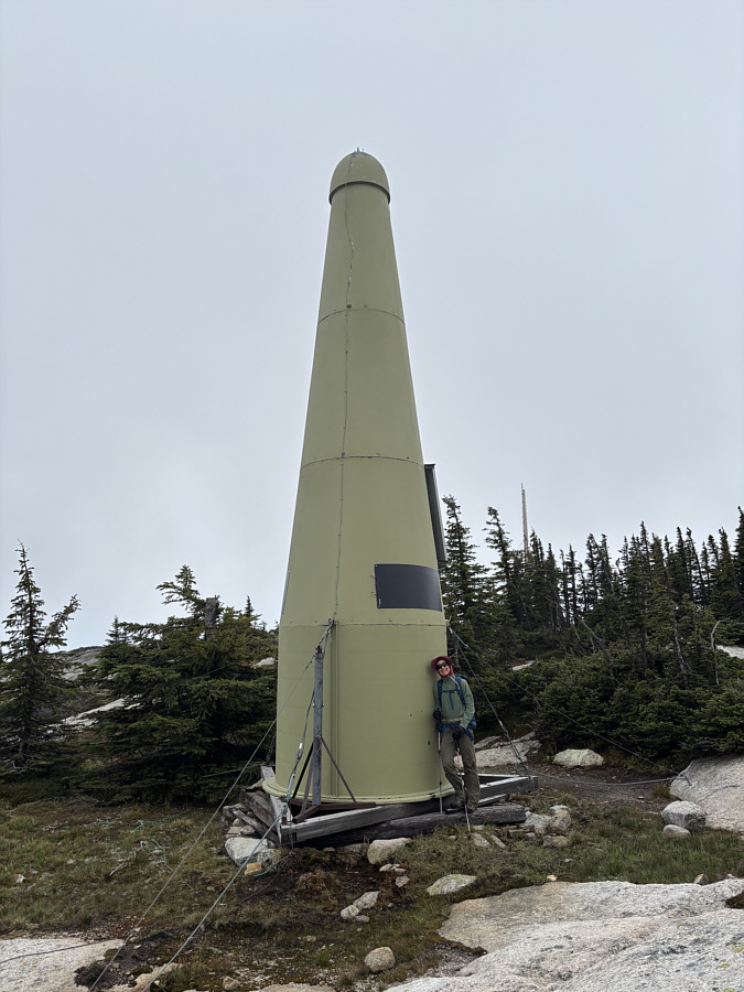
 |
Near the summit is this light green
rocket. |
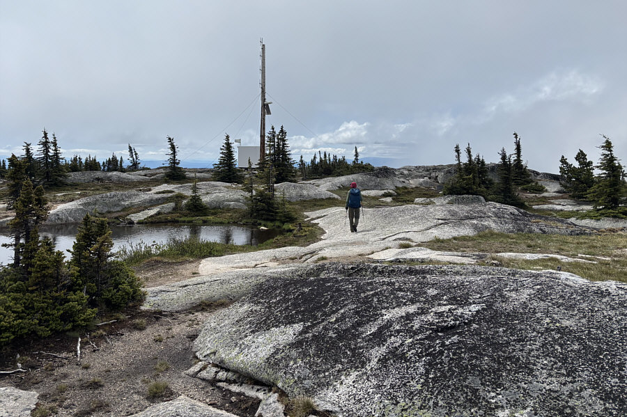
 |
Zosia approaches the true high point
which is behind the trees at right. |
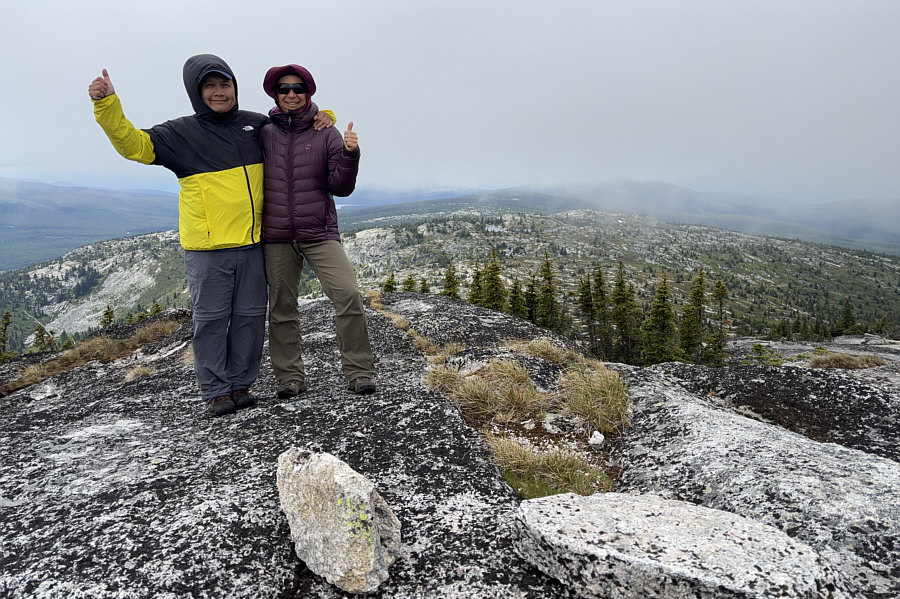
 |
Sonny and Zosia stand on the summit of
Little White Mountain (2176 metres). |
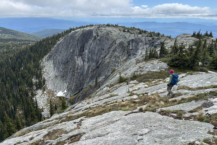
 |
Zosia makes her way back down the
summit ridge for the return trip. |
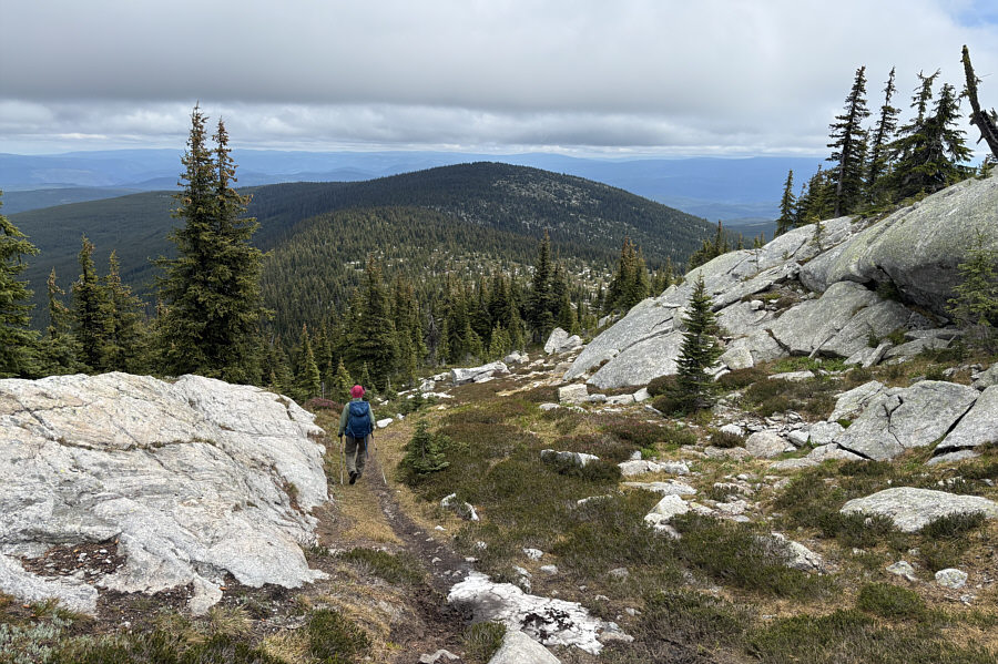
 |
The return trip includes climbing back
over the subsidiary forested bump in the distance. |
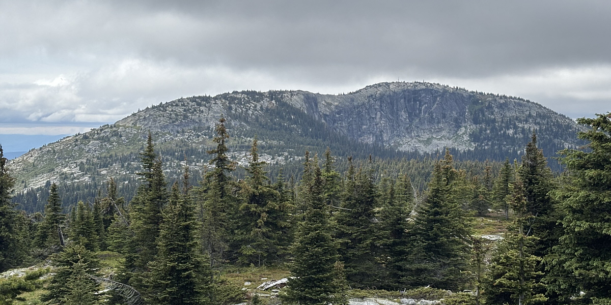
Here is a last look at the summit ridge of Little White
Mountain from the subsidiary bump. The summit is visible at right.
 |
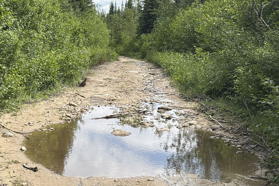
A grouse is about to cross the rough
access road. |
 |
Total Distance: 12.1 kilometres
Round-Trip Time: 6 hours 24 minutes
Cumulative Elevation Gain: 609 metres
GPX Data |