|
|
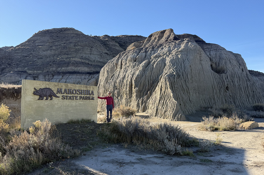
Zosia stands by the sign at the entrance to Makoshika State Park. "Makoshika" is derived from the Lakota words, maco sica, which translate to "bad lands" or "land of bad spirits". |
|
|
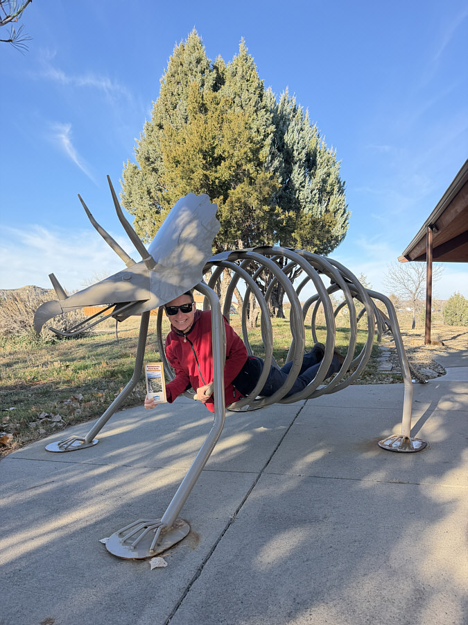
Zosia crawls inside a tricerotops-shaped bike rack near the visitor centre. |
|
|
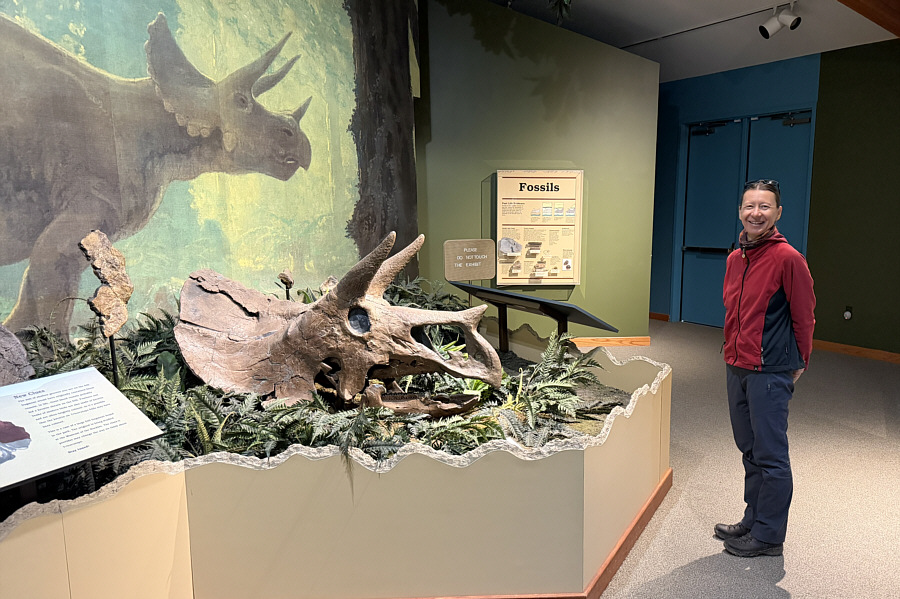
Zosia checks out a fossilized tricerotops skull inside the visitor centre. |
|
|
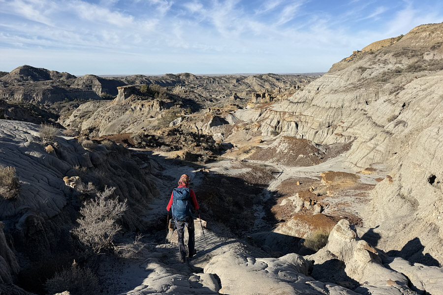
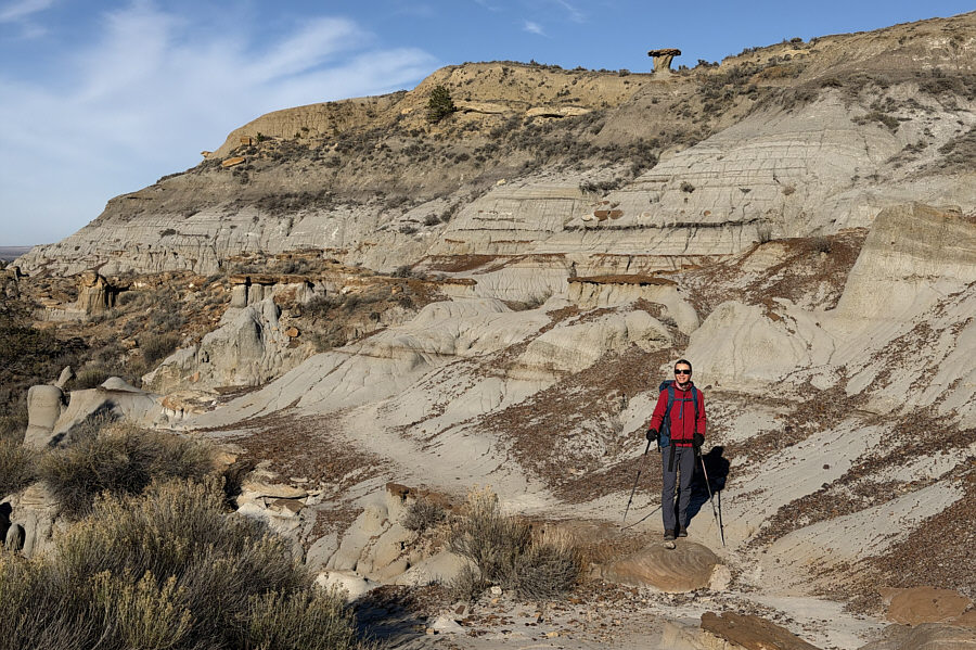
Hiking Cap Rock trail begins with a short descent into this valley. |
|
|
Cap Rock trail probably derives its name from the many mushroom-like hoodoos found in the vicinity such as the one featured prominently on the ridge above. |
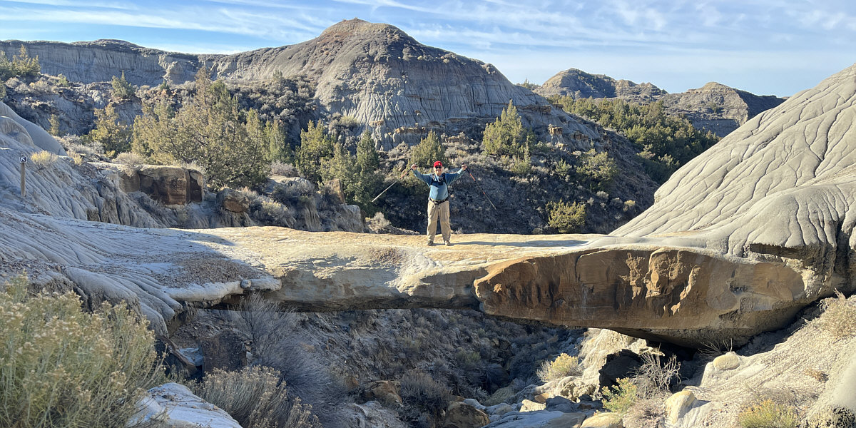
One of the highlights of Cap Rock trail is this Natural Bridge.
Photo courtesy of Zosia Zgolak
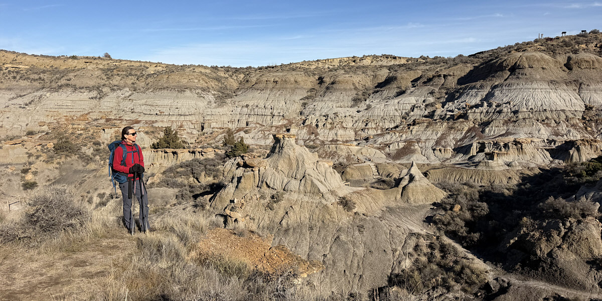
This viewpoint grants a comprehensive view of the valley through which Cap Rock trail travels.
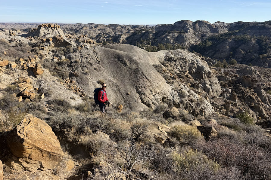 |
Zosia makes another descent to visit Kinney Coulee. |
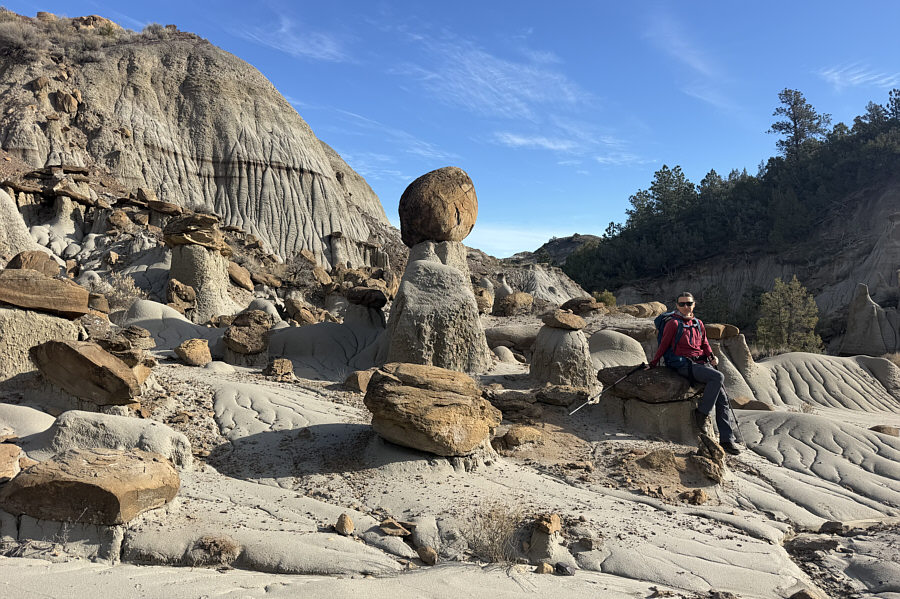 |
Cap rocks of varying sizes and shapes can be found here. |
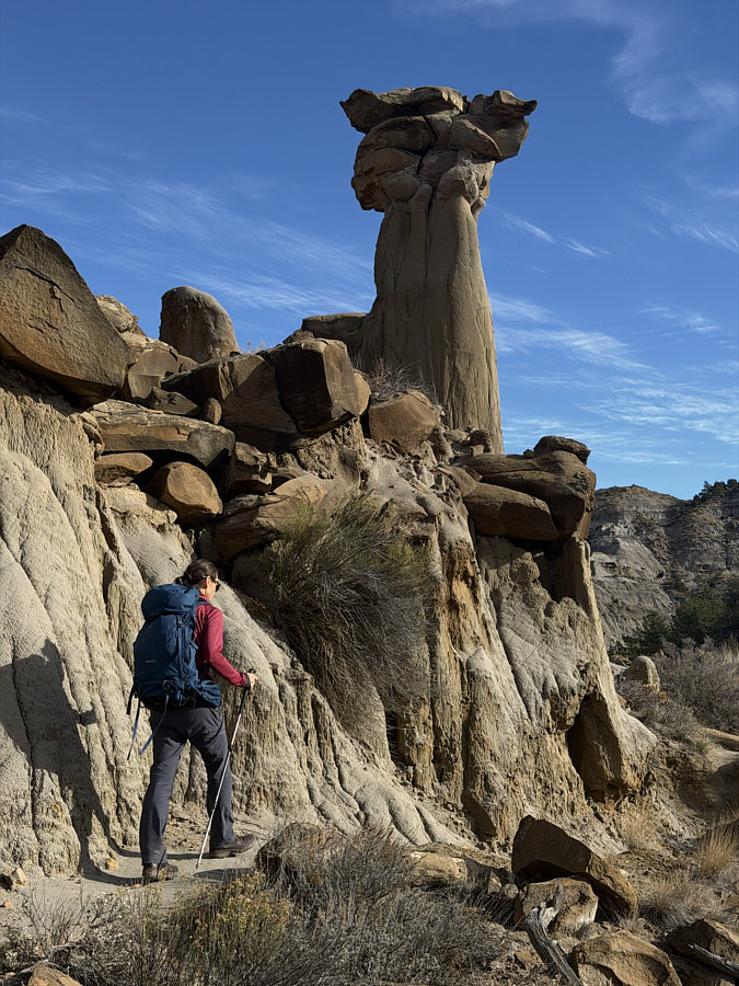 |
Zosia passes under one of the taller hoodoos in Kinney Coulee. |
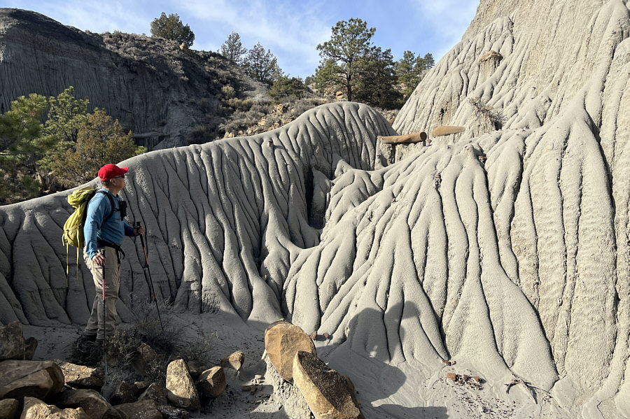 |
Sonny spots a brown cylindrical rock
that looks like it has been sawed like a wooden log. Photo courtesy of Zosia Zgolak |
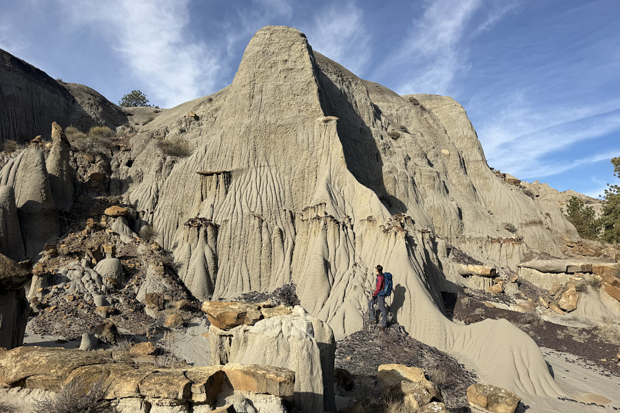 |
Zosia gets up close to this wall full of rills. |
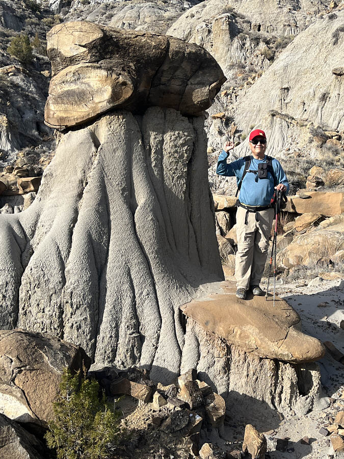 |
This hoodoo resembles a fist. Photo courtesy of Zosia Zgolak |
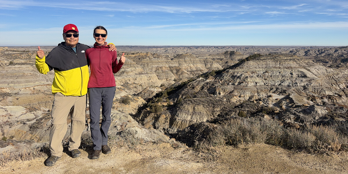
Sonny and Zosia give thumbs up to the views at Eyeful Vista.
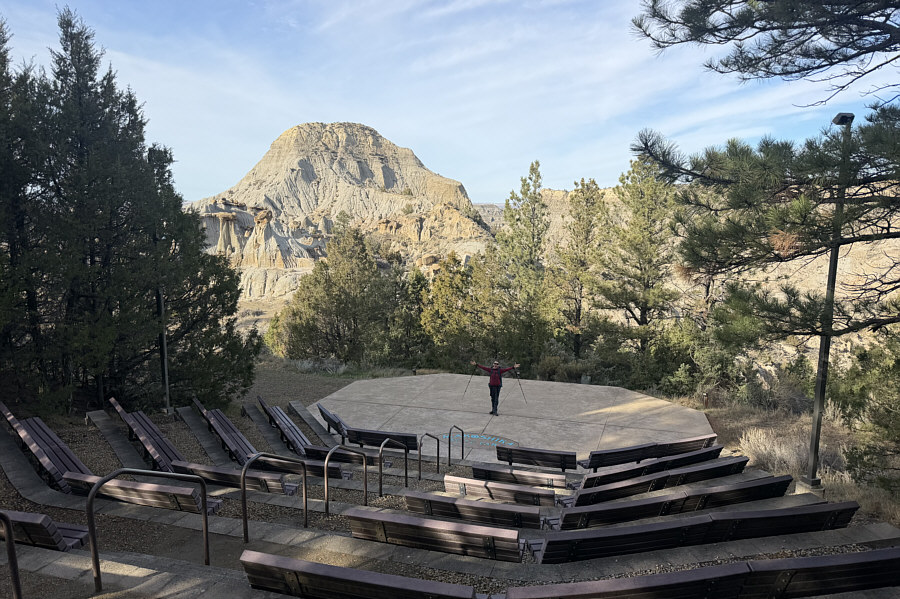 |
Zosia performs for a captive audience (Sonny) at an outdoor amphitheatre. |
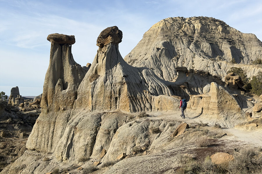 |
Zosia approaches the hoodoo formation known as Twin Sisters. |
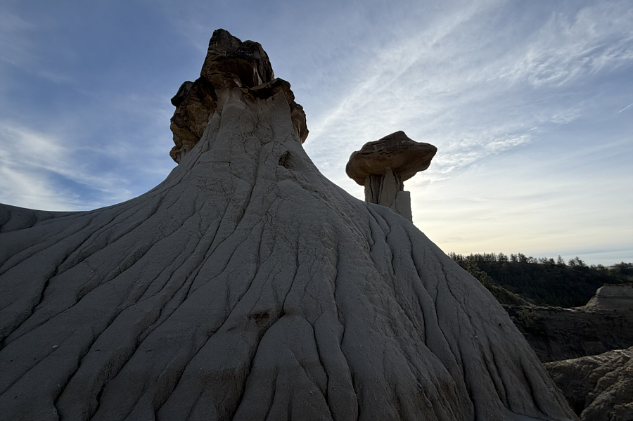 |
Here is a look at the backside of Twin Sisters. |
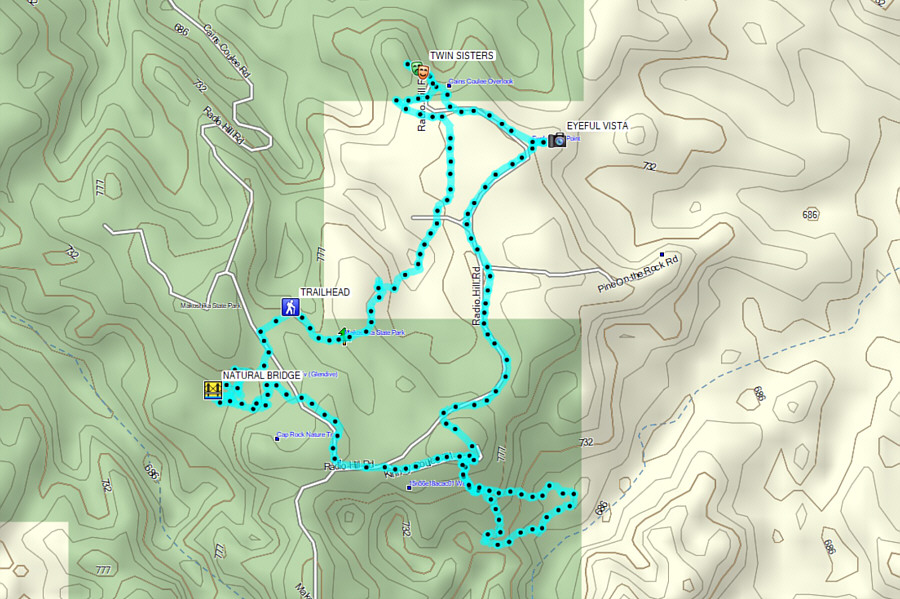 |
Total Distance: 7.8 kilometres Round-Trip Time: 3 hours 26 minutes Cumulative Elevation Gain: 182 metres |
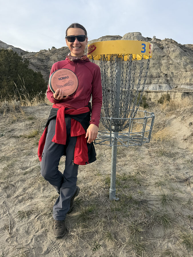 |
Zosia grins after getting her first birdie of the day on Hole 5. |
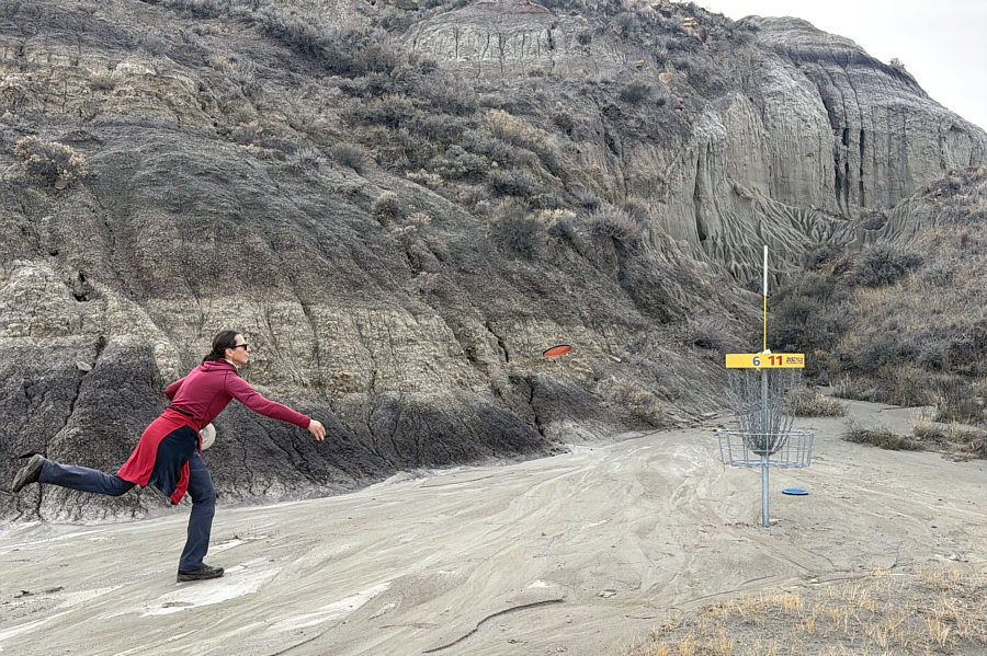 |
Zosia makes her par putt on Hole 11. Click here to see Sonny playing the next hole. |
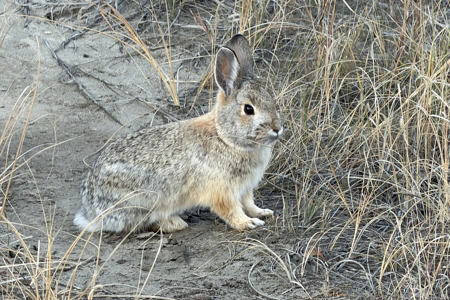 |
A cottontail rabbit waits quietly for Zosia to throw her disc. |
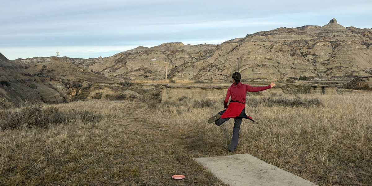
Zosia tees off on Hole 18.
Finished with disc golfing, Zosia and I had just enough daylight left for one more excursion. We drove to Diane Gabriel trailhead and did a short but strenuous out-and-back hike to Sunset Overlook. There used to be a hadrosaur fossil along this trail, but it was removed because of fears that it might disappear into a developing sink hole. The fossil is now on display at the visitor centre. Returning to our car at the trailhead, we drove out of the park and had dinner in Glendive before heading elsewhere to camp for the night.
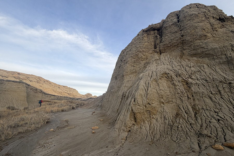 |
Zosia passes an eroding sandstone cliff en route to Sunset Overlook. |
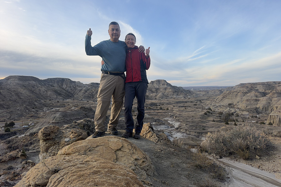 |
Sonny and Zosia reach Sunset Overlook. |
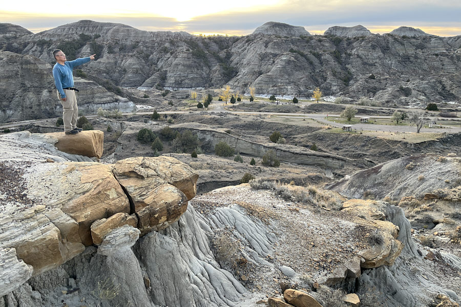 |
Sonny points to the setting sun at
Sunset Overlook. Photo courtesy of Zosia Zgolak |
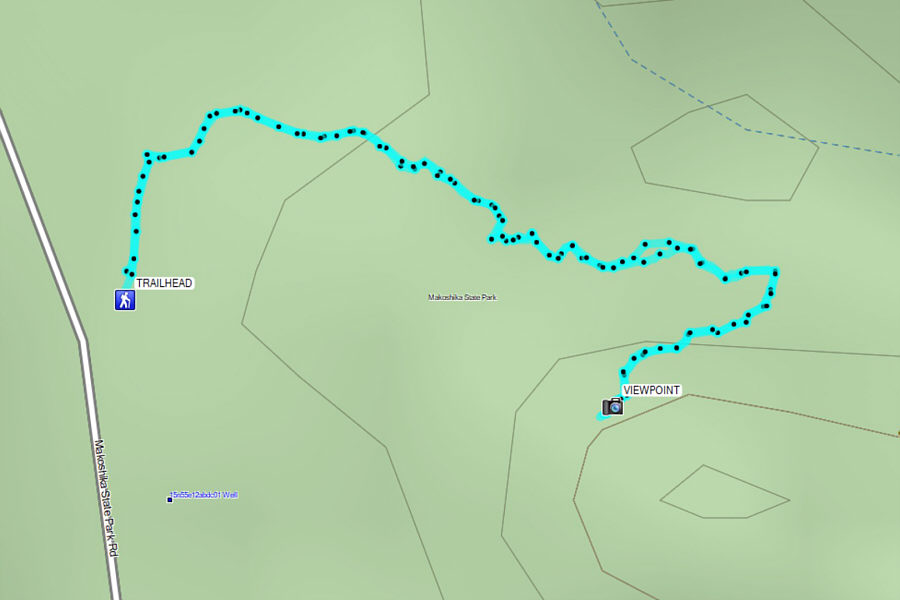 |
Total Distance: 1.1 kilometres Round-Trip Time: 34 minutes Cumulative Elevation Gain: 32 metres |