BOU AVENUE
Maple Pass-Heather Pass Loop
With our intended visit to Harts Pass on 27 July 2026 derailed by an access road closure, Zosia Zgolak and I turned our attention toward hiking Maple Pass and Heather Pass--commonly known as Heather-Maple Pass Loop or Lake Ann/Maple Pass Loop Trail--located near Rainy Pass along Washington's State Highway 20.  Easy access and jaw-dropping scenery make this one of the most popular hikes in the North Cascades as evidenced by the scores of cars spilling onto the highway from the trailhead parking lot on any given day during hiking season (this part of the highway is usually closed from late fall until early spring).  The loop trail also grants easy approaches to a number of non-technical peaks in the vicinity, but as it turned out, we would only have time to tag one peak unofficially known as "Crooked Bum".  A not-so-straightforward route up the west ridge of Crooked Bum is described by Steven Song.

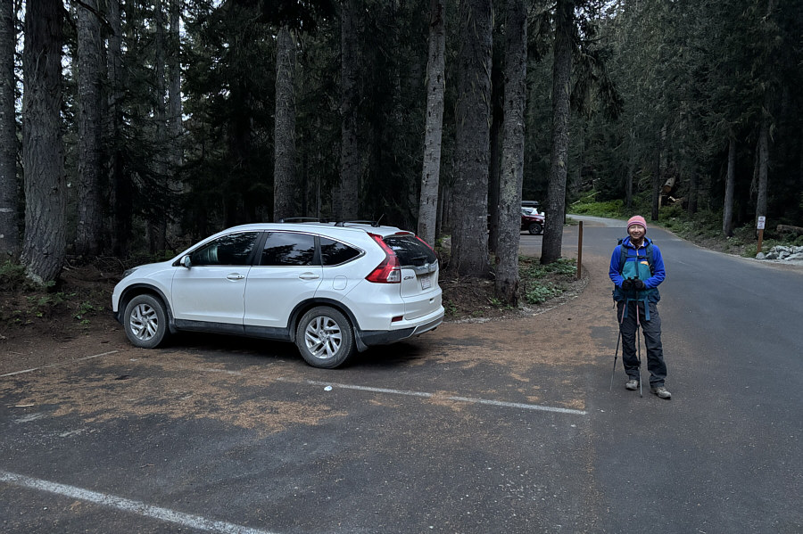
Concerned about finding space to park at Rainy Pass trailhead (48.51512, -120.73579), Zosia and I arrived very early before sunrise and were relieved to find plenty of available spots.  We had actually camped the previous night in our car at Washington Pass Overlook, but we could have done the same at Rainy Pass trailhead.  I am uncertain if this has always been the case, but it is now permitted to sleep in your vehicle overnight at most trailheads along State Highway 20 (North Cascades Highway).  This policy is not advertised on the USDA Forest Service website (or at least I could not find it), but signs with explicitly-stated rules for overnighting in vehicles are posted at the trailhead parking lots.  Pitching a tent is not allowed, and the vehicle cannot occupy more than one parking space.  Parking at most of the trailheads including the one at Rainy Pass still requires a day-use fee ($5 USD) or federal annual pass (Northwest Forest or America the Beautiful).  Surprisingly, a fee or pass is not required at Washington Pass Overlook even though overnighting in a vehicle is allowed.

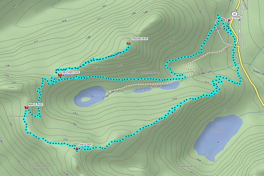
A person at the info centre in downtown Winthrop had recommended doing the loop in a clockwise direction, and Zosia and I would follow suit.  From the signed trailhead, we headed south along Rainy Lake Trail for about half a kilometre before turning right at a junction with Marble Pass Trail (FT-740).  We then settled into a steady climb up a forested ridge flanking the north side of Rainy Lake.  Although we could see parts of it on our way up, we could never get a full unobstructed view of the lake from the trail.  Regardless, we soon forgot about the lake altogether as we climbed out of the thinning forest into a region of sub-alpine meadows rife with pink mountain heather, marmots and far-reaching views.  We eventually climbed over a shoulder--the high point of the entire hike--on the north ridge of Frisco Mountain before dropping down to Maple Pass.  Just north of Maple Pass is a prominent hump unofficially named "Heather Pass Peak" which we had originally intended to climb.  The detour to the summit likely would have been short and easy, but to our dismay, the area was completely cordoned off for rehabilitation.  Respecting the closure, we continued down the trail to Heather Pass where we turned onto a trail heading for Lewis Lake.  We hiked this trail only briefly before abandoning it to ascend the west ridge of Crooked Bum.

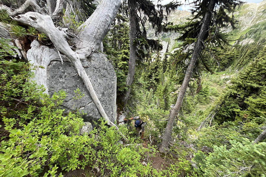
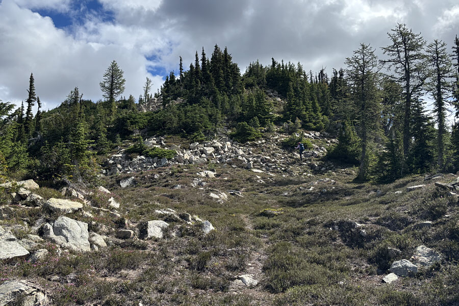
As noted by Song, there is no trail going up the west ridge of Crooked Bum, and the ascent entails a fair bit of route-finding and maybe even a little hands-on scrambling.  The lower part of the ridge is more challenging because it is guarded by thick bush and some surprisingly steep slabs.  I built a few small cairns here on the way up.  At one point, Zosia and I got a little off-route, and we had to fight through a short but very thick section of bush to regain the ridge crest.  Fortunately, the terrain is easier on the upper part of the ridge, and the remainder of our ascent was much more relaxing and enjoyable.

Zosia and I spent about an hour on top of Crooked Bum before descending the same way.  We managed to avoid the short but heinous bit of bushwhacking on the way down, and my cairns were helpful for guiding us safely through the steep slabs.  Upon returning to Heather Pass, we reconnected with FT-740 and finished the loop by descending to a junction with Lake Ann Trail (FT-310) and following it out to the trailhead.
We could've even camped overnight here in our car! At 5:22 AM, there are still a lot of parking spots available at the Rainy Pass Trailhead parking lot.
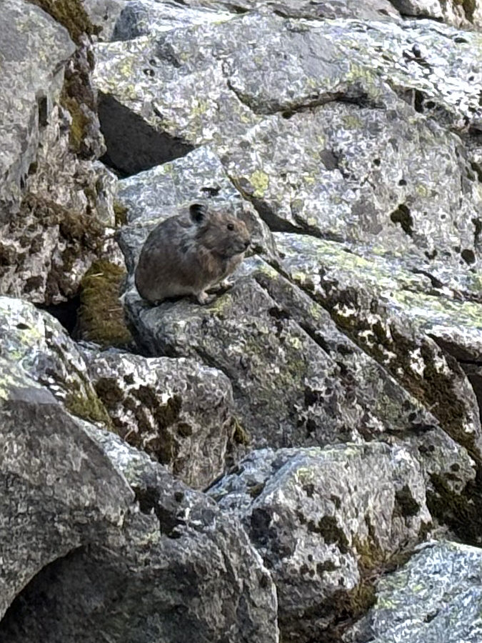
Eeep! This pika is already up and about at 6:08 AM.
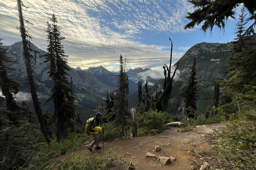
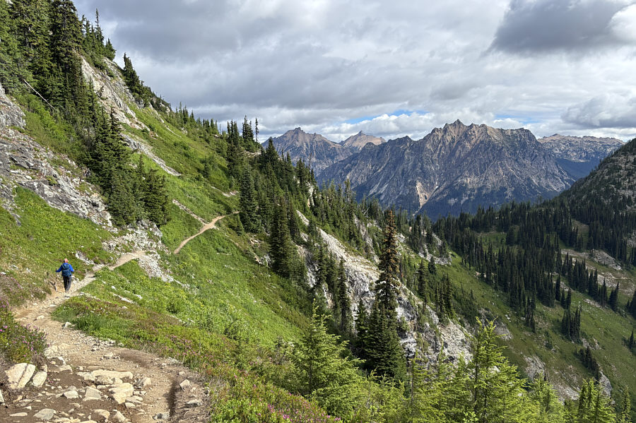
So peaceful and quiet at this time of day! About an hour into the hike, Sonny has gained over 200 metres of elevation and is starting to be rewarded with views.

Photo courtesy of Zosia Zgolak

About as good as it gets--we would not get a clearer view of Rainy Lake on this day. Here is a partial aerial view of Rainy Lake from the trail.
I hear voices... Here is one of the first views of Heather Pass (left) and Ann Lake from the south side of the loop.  Flanking the pass are "Heather Pass Peak" (far left) and "Crooked Bum" (right).  Visible through the pass but partly obscured by clouds is Black Peak.
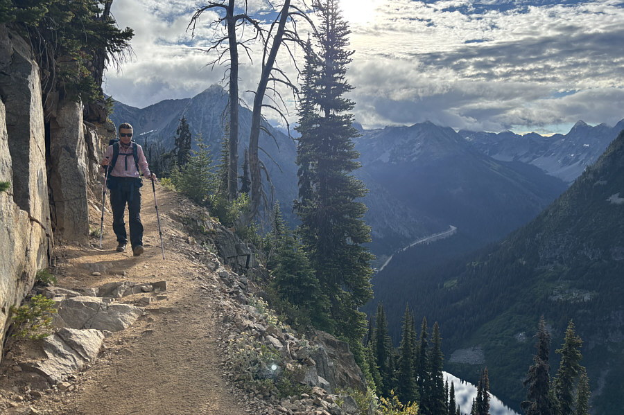
Excellent trail design! The trail continues high above Rainy Lake.  State Highway 20 can be seen in the valley.
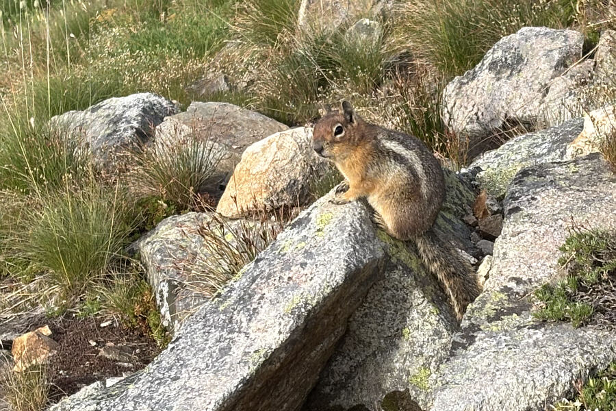
The American ones seem fatter... A golden-mantled ground squirrel looks warily at its photographer.
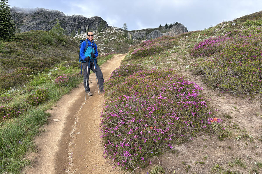
The photo doesn't do the colours justice! Pink mountain heather are in full bloom here on this day.
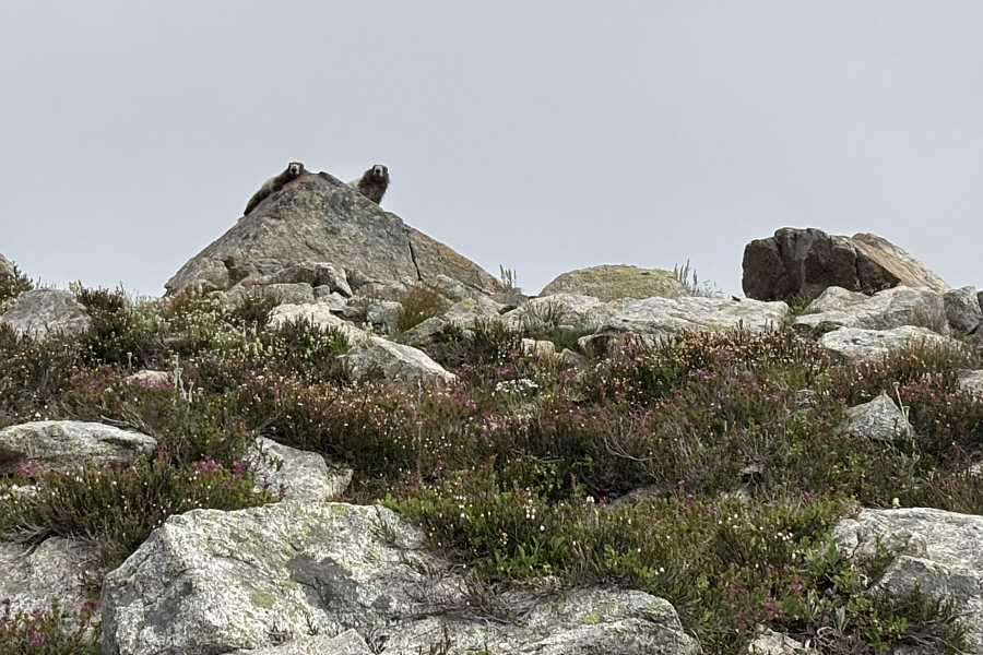
They were adorable!  A couple of hoary marmots look down curiously from their perch.
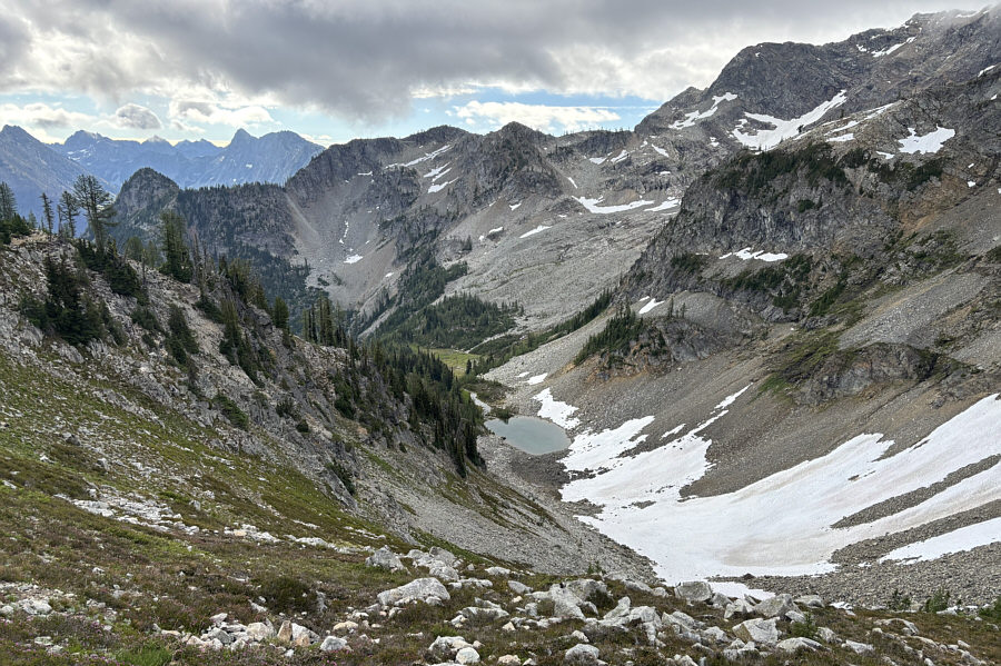
Can you spot the marmot in the photo? This is looking down at the basin above Rainy Lake (not visible).  The small tarn is unnamed.
This viewpoint would already be an amazing hiking destination in itself. Zosia takes a short detour to a breathtaking viewpoint.
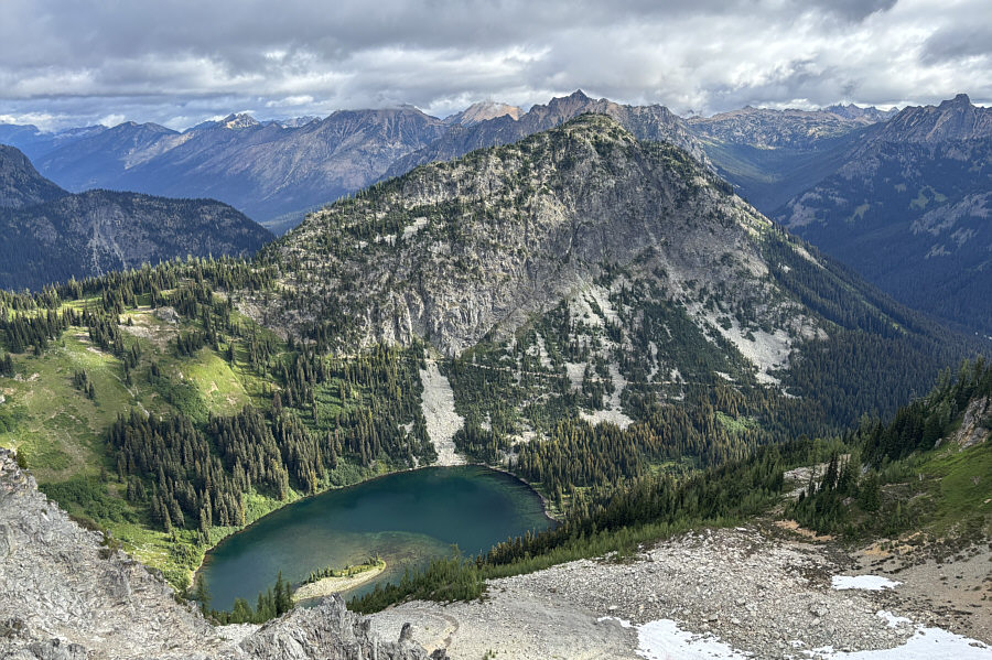
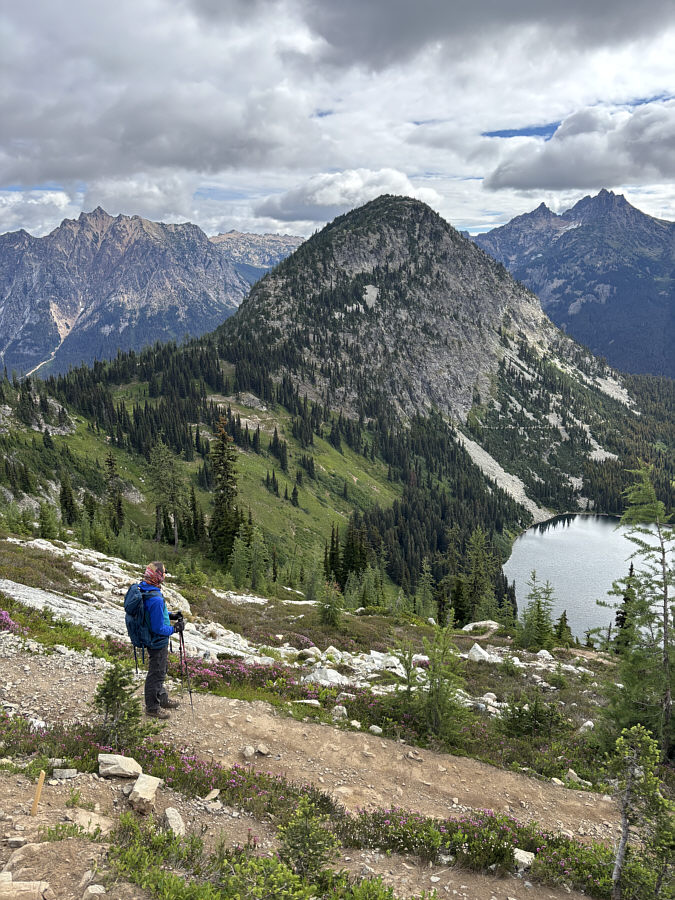
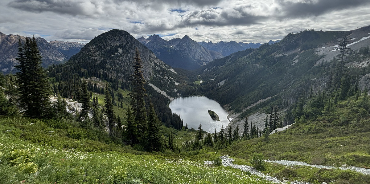
Already having sensory overload! The viewpoint grants a more complete view of Ann Lake sitting below Heather Pass and Crooked Bum.
We're approaching our high point of the day. The trail climbs over a shoulder (2123 metres) on the north ridge of Frisco Mountain (not visible).
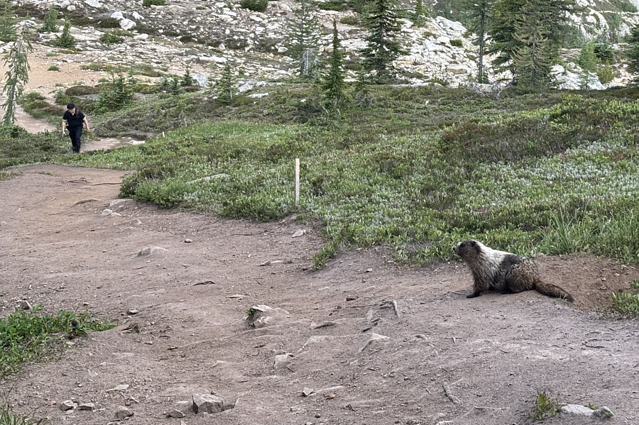
The hiker was the first person we encountered going counter-clockwise along the loop. A rather large marmot comes out of a hole to see who is coming up the trail.
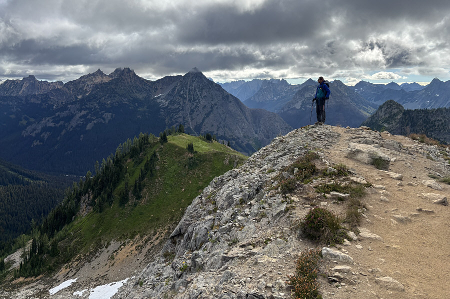
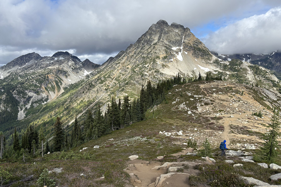
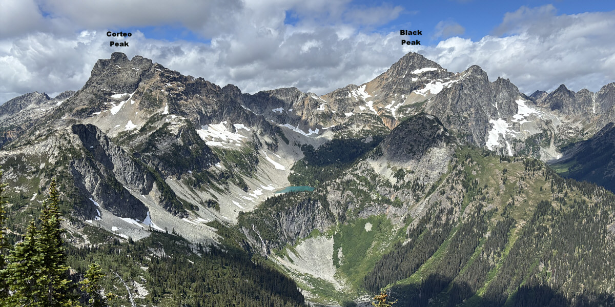
Maple Pass isn't even marked on most maps. The USGS Geographic Names Information System marks the flat spot just ahead of Zosia as Maple Pass even though it is not the lowest point along the connecting ridge to Heather Pass Peak (not visible).  Dominating the view right of centre is Corteo Peak while Mount Benzarino is the peak furthest to the left.
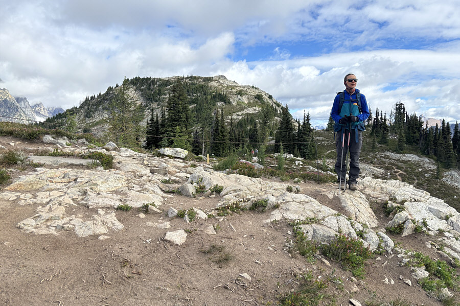
Doh! I guess it was too popular in the past. Why couldn't they have just built a nice trail up to minimize damage to the vegetation? The dip behind Zosia is the more commonly-accepted location of Maple Pass (2020 metres).  An ascent of Heather Pass Peak from there would appear to be short and straightforward, but the area has been cordoned off for rehabilitation.
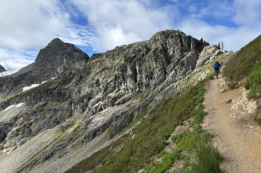
Looks like a tougher climb though... Denied from climbing Heather Pass Peak, Zosia sets her sights on Crooked Bum.
Amazingly, there are no other hikers in the photo which makes the trail look deserted! Zosia descends the trail to Heather Pass (1856 metres) at right.

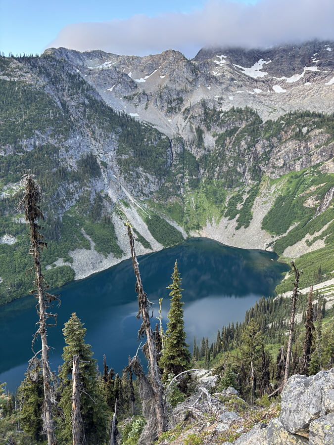
Most maps label it as "Lake Ann", but the official USGS name is Ann Lake.

Here is perhaps the most complete view of Ann Lake from the trail.
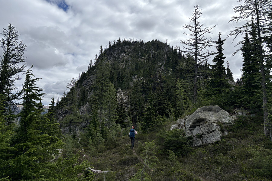
 

The initial ascent looks a bit daunting here... Zosia goes off-trail to climb the west ridge of Crooked Bum.
Definitely not as popular as the loop trail! The initial section is very steep and bushy.

Photo courtesy of Zosia Zgolak

Still some route-finding left though... The terrain becomes easier to navigate higher up.
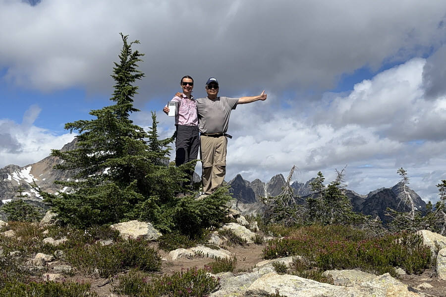
Insert your favourite anal joke here! Zosia and Sonny stand on the summit of Crooked Bum (2118 metres).

The ascent of Black Peak is apparently mostly a hike...mostly.

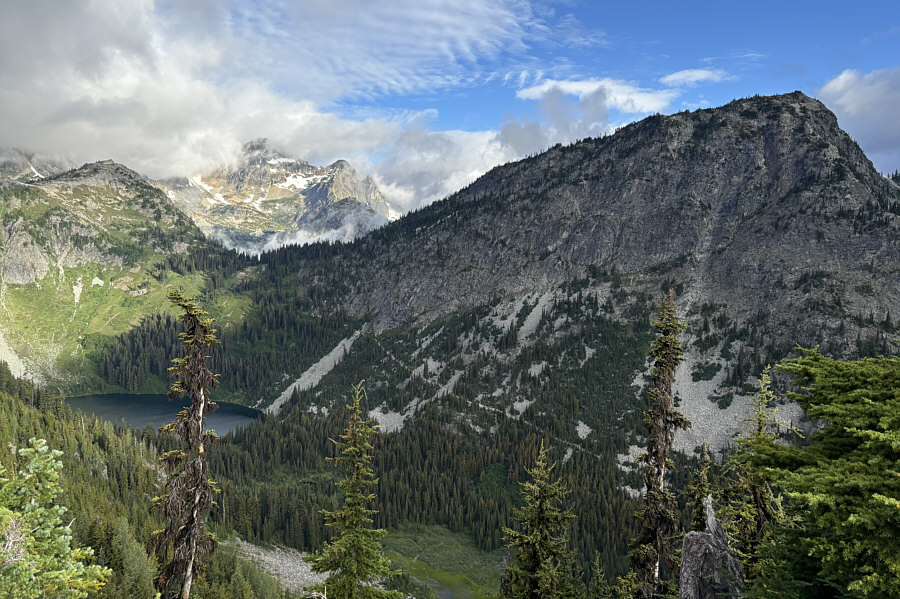
The view to the west includes Lewis Lake.
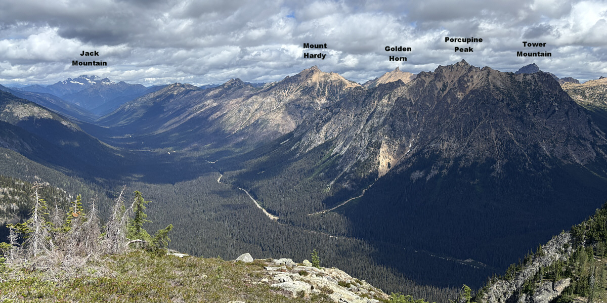
 

Lotsa reasons to return to this area in the future!

Here is a panoramic view to the north.
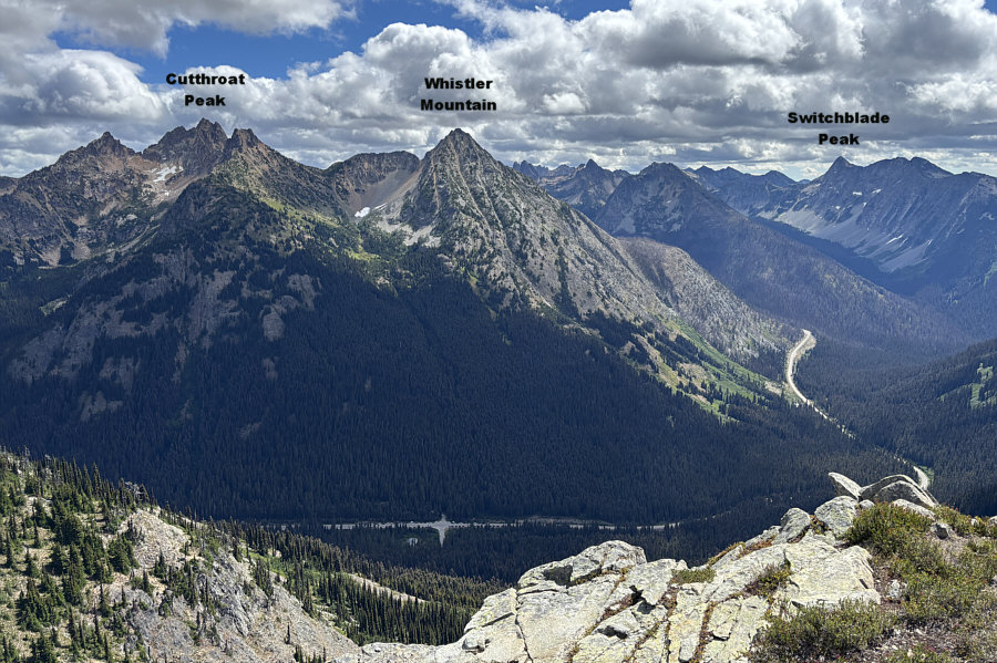
 

Whistler Mountain is apparently a Class 2 scramble directly from the highway...let's do it! This is looking east.
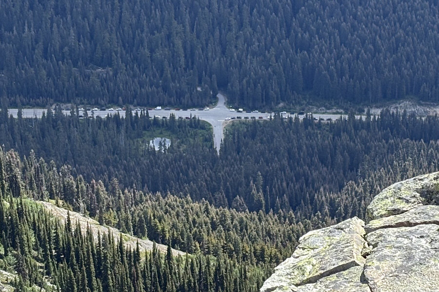
Yeesh...glad we started early! The numerous cars parked along the highway on a Monday attest to the popularity of the loop hike.

They built an amazing trail in a very beautiful area.

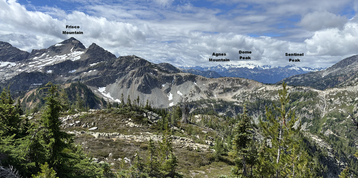
Here is a panoramic view to the southwest.
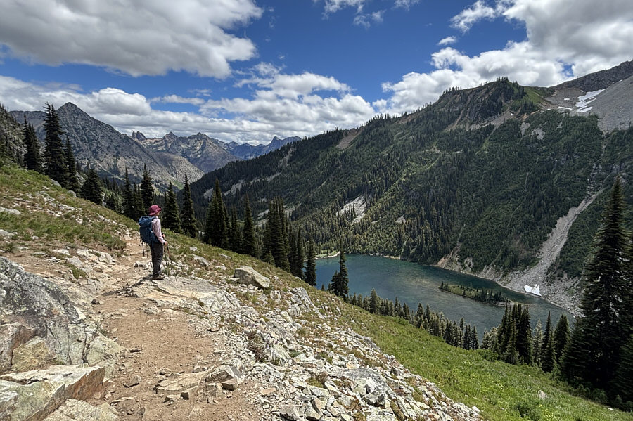
 

Goodbye, Ann Lake! Maybe we'll see you again someday... Zosia takes a last look at Ann Lake before descending back to the trailhead along the north side of the loop.
The best hike in the North Cascades? Certainly the most popular! Total Distance:  15.3 kilometres
Round-Trip Time:  8 hours 30 minutes
Cumulative Elevation Gain:  876 metres

GPX Data