BOU AVENUE
Mount McCausland
With a bluebird day in the weather forecast
for 30 July 2026, Zosia Zgolak and I ascended Mount McCausland located
roughly six kilometres north of Stevens Pass in Washington's Henry M.
Jackson Wilderness. The summit can be reached via a spur trail
branching off from a very popular section of the Pacific Crest Trail
(PCT) which is more commonly used to access nearby Lake Valhalla.
Ironically, what I thought would be an easy drive to the trailhead turned
out to be the actual crux of the trip.
From US Highway 2, turn north onto Rainy Creek Road (look for signs for "Smithbrook
Trailhead") 6.5 kilometres east of the Truck Brake Check Area at Stevens
Pass or 25.8 kilometres west of the intersection with State Highway 207
at Coles Corner. Drive 4.3 kilometres to a large parking lot at the
signed Smithbrook Trailhead (no facilities but no fees or passes
required). Rainy Creek Road is a gravel road which is
normally suitable for 2WD vehicles, but the first three kilometres or so were
heavily rutted and required extra care to drive (high-clearance vehicle
strongly recommended). Be sure to check
current conditions before attempting to drive this road (an approach
by bicycle would be a good alternative).
Zosia and I actually arrived the previous
evening and camped at the trailhead after surviving a rather stressful
drive along Rainy Creek Road. For the hike, we skipped the first
couple hundred metres or so of Smithbrook Trail by walking along the
continuation of the road and taking a short cut at the next hairpin turn.
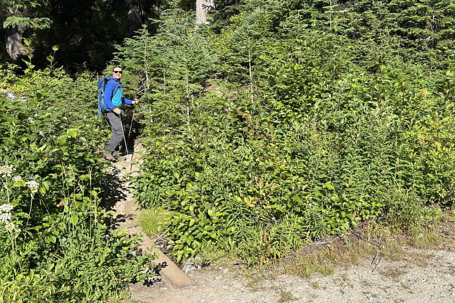
The trail rises gently but steadily up a forested slope via numerous
switchbacks before levelling out a bit in a basin and then intersecting
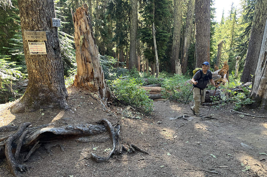
the PCT at a forested saddle known as Union Gap. On this day, we
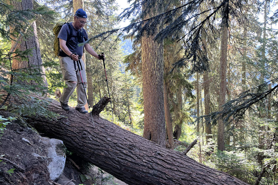
encountered a fair number of big fallen tree trunks blocking the trail,
but fortunately, most were not too difficult to climb over or bypass.
Once we gained the PCT, we turned left and followed it southward for a
little more than two kilometres to an unsigned junction with a spur trail
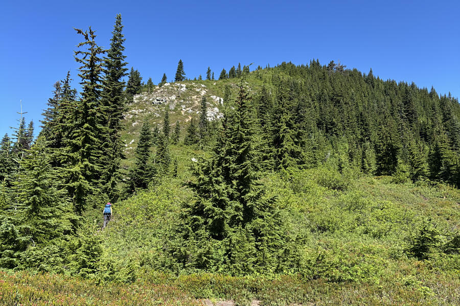
heading northward. We took this spur trail and followed it up the
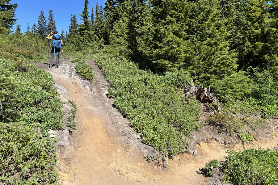
south ridge of Mount McCausland. Although we had no route-finding
problems, the spur trail is very steep and eroded in some spots, and we
had to be extra cautious with our footing both going up and later coming
down. Partially surrounded by trees, the actual summit is
surprisingly nondescript and perhaps a bit underwhelming. Instead
of stopping there, we continued a little further on a beaten path (some
route-finding required) to the north end of the summit ridge where we
discovered a unique summit register container bolted onto a scenic rocky
perch. This was the perfect spot to take an extended lunch break
while reading the register contents and ogling Glacier Peak to the north.
Zosia and I spent nearly 1.5 hours at the
north end of Mount McCausland's summit ridge before backing out the way
we came. We took our time descending the steep south ridge partly
to be cautious but mostly to snap more photographs of Lake Valhalla and
distant peaks. Once we regained the PCT, we easily retraced our
steps back to Union Gap and subsequently down to the trailhead.
Although we did not see anyone else follow us up Mount McCausland, the
PCT and Smithbrook Trail were both quite busy in the afternoon, and I was
surprised how little the poor condition of Rainy Creek Road deterred
people from driving to the trailhead parking lot which was pretty full
when we finished our hike. We had originally planned to head
further into the backcountry to explore more of this area, but with the
poor road condition weighing heavily on our minds, we decided to cut bait
and simply move on. The drive out was expectedly slow, but
fortunately, we avoided any scrapes and breathed a huge sigh of relief
when we finally returned to pavement on US Highway 2.
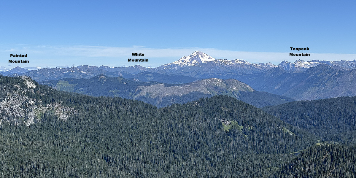
Glacier Peak captures all the attention to the north in
this view from the north end of Mount McCausland's summit ridge. A
tiny sliver of Lake Janus is also barely visible at lower right.
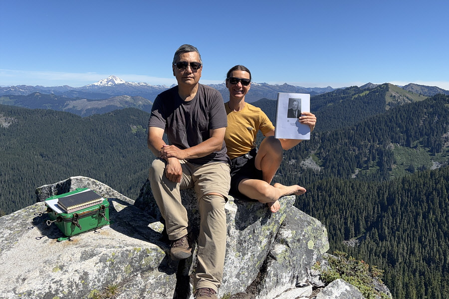 |
The summit register is located at the north end (1750 metres) of the
summit ridge. The mountain was officially named in 1988 for
Norm McCausland, a long-time employee of Skykomish Ranger District. |
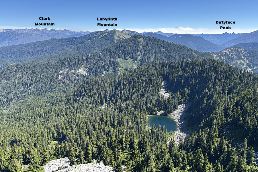 |
Dow Lake sits just below the
northeastern slopes of Mount McCausland. |
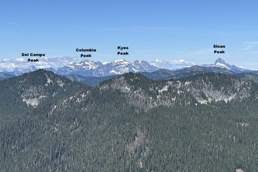 |
This is the view to the northwest from
the north end of the summit ridge. |
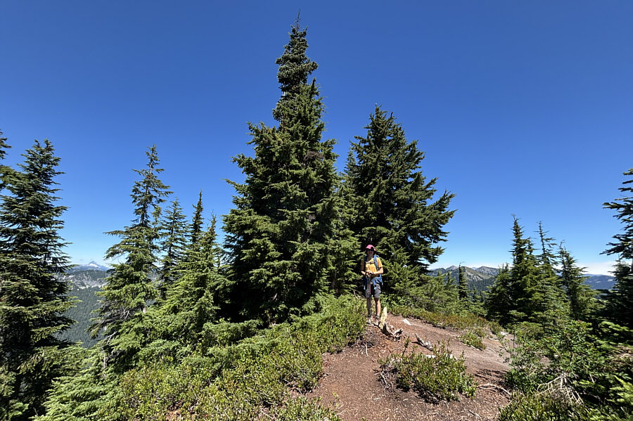 |
Returning from the north end of the
summit ridge, Zosia pauses at the true summit of Mount McCausland
(1758 metres). |
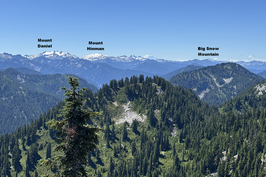 |
Mount Rainier (right of centre on
horizon) is visible from the south end of the summit
ridge. |
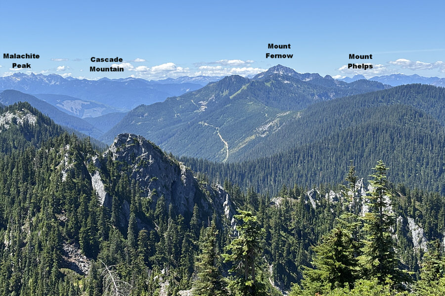 |
This is looking southwest from the
south end of the summit ridge. |
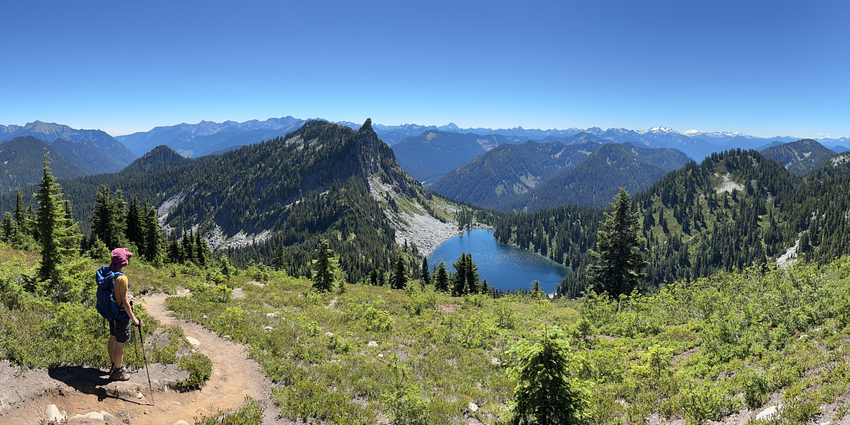
Here is a panoramic view of Lake Valhalla from the
south end of Mount McCausland's summit ridge.
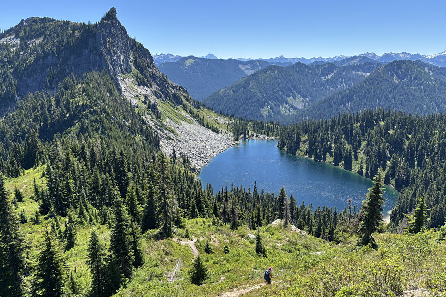 |
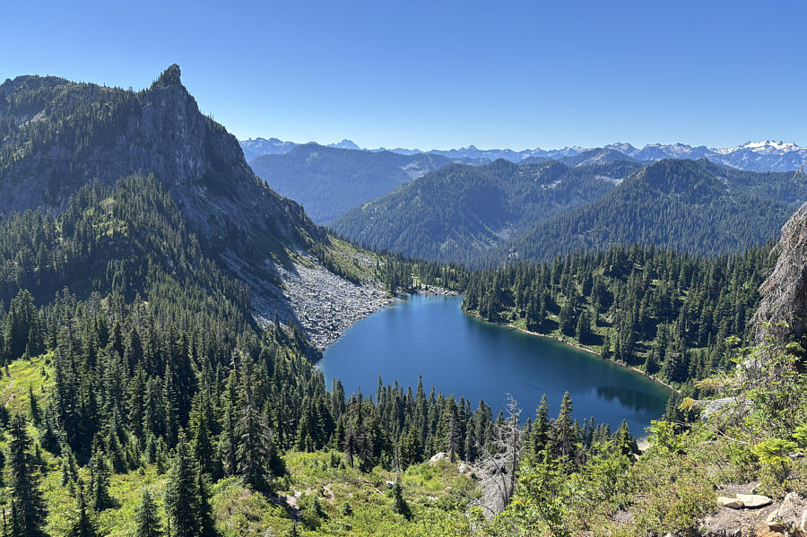
Here is one last look at Lake Valhalla
as Zosia descends the south ridge. |
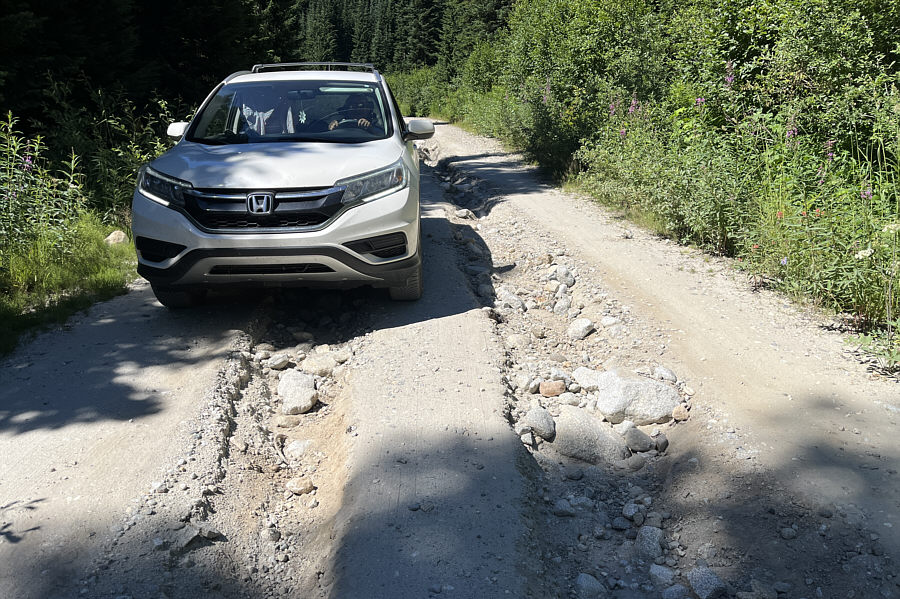 |
Sonny carefully drives out the heavily
rutted access road.
Photo courtesy of Zosia Zgolak |
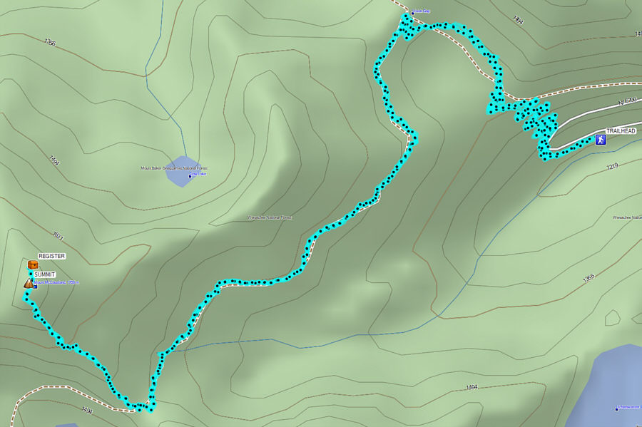 |
Total Distance: 12.6 kilometres
Round-Trip Time: 6 hours 19 minutes
Cumulative Elevation Gain: 518 metres
GPX Data |