BOU AVENUE
Midnight Mountain And Copper Butte

Carrying on with our tour of smoky northeastern Washington on 22 July 2026, Zosia Zgolak and I ascended Midnight Mountain and Copper Butte located approximately 20 kilometres east of Republic, Washington.  Of the two, Copper Butte is the big prize since it is the high point of the Kettle River Range and boasts a prominence of over 4700 feet (~1400 metres).  A good trail--the Kettle Crest Trail (KCT)--runs right over Copper Butte's summit and is most easily accessed via Old Stage Trail #75 which is a historic stagecoach route.  Copper Butte's northern neighbour, Midnight Mountain, can easily be tagged at the same time although its ascent is mostly off-trail and requires a bit of route-finding.

From State Highway 20, turn north onto Albian Hill Road (2WD gravel) 29.6 kilometres west of the junction with US Highway 395 near Kettle Falls Bridge or 29.5 kilometres east of the junction with State Highway 21 at Pine Grove.  Drive 5.6 kilometres to a junction with Deadman Creek Road and keep left.  Continue for another 5.8 kilometres and keep left again at another split.  The trailhead is less than 300 metres further and includes a limited number of free campsites with a vault toilet.

After spending a very restful night camping at the trailhead, Zosia and I started the morning with a hike along Old Stage Trail #75 which climbs gently for 2.4 kilometres to intersect the KCT at a saddle separating Midnight Mountain and Copper Butte.  Opting to tackle Midnight Mountain first, we headed north along the KCT for about 300 metres before abandoning it to go through some light bush and gain the south ridge.  Climbing up the south ridge was generally easy, and there is even an intermittent beaten path which was helpful for getting through the occasional bushy or forested sections.  The summit ridge of Midnight Mountain is quite broad and flat, but there is also a surprising amount of deadfall which made the search for the summit trickier than expected.  At one point, we stumbled across a cairn with a sodden register, but the true summit appears to be about 100 metres further to the northwest (we found a small cairn on some deadfall in the bush).
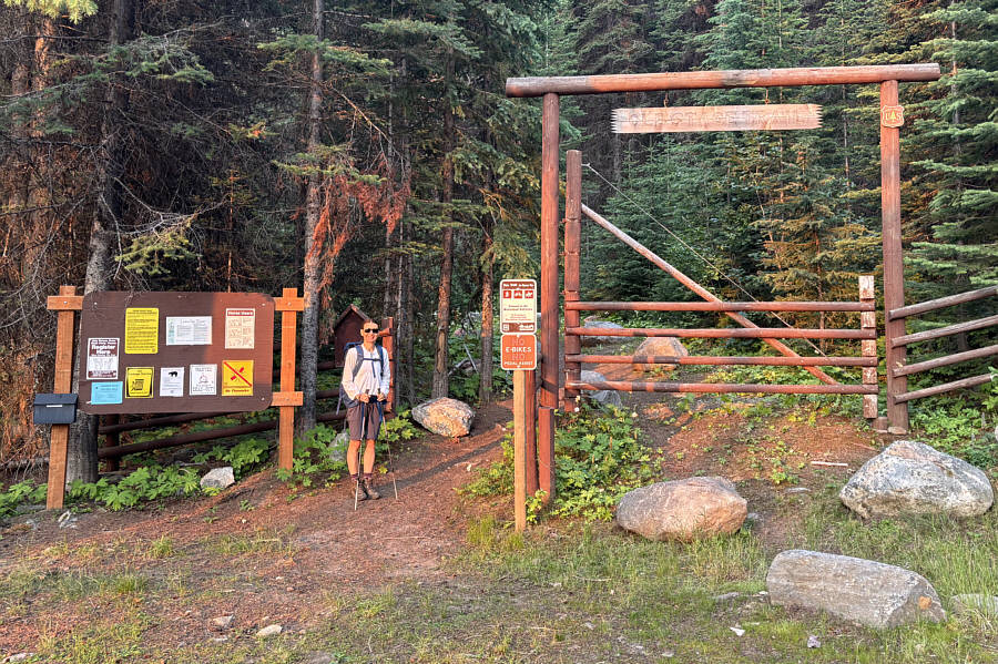
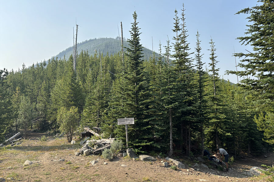
No e-bikes of any kind allowed but apparently you can still drive a horse-drawn stagecoach here! The trailhead is the start of Old Stage Trail #75 which is part of a former stagecoach route going over the Kettle River Range.
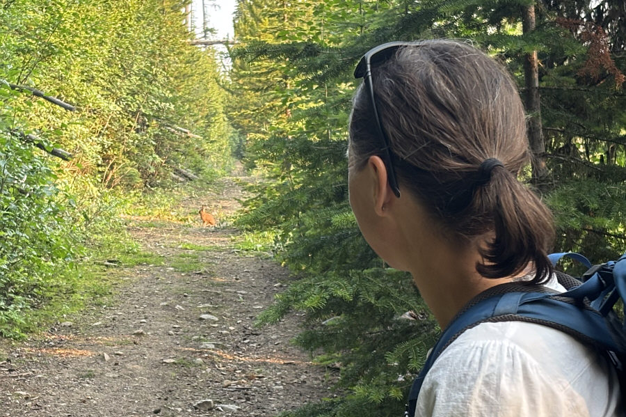
The rabbit is probably thinking that it should have made that left turn at Albuquerque... Zosia spots a rabbit sitting in the middle of the trail.
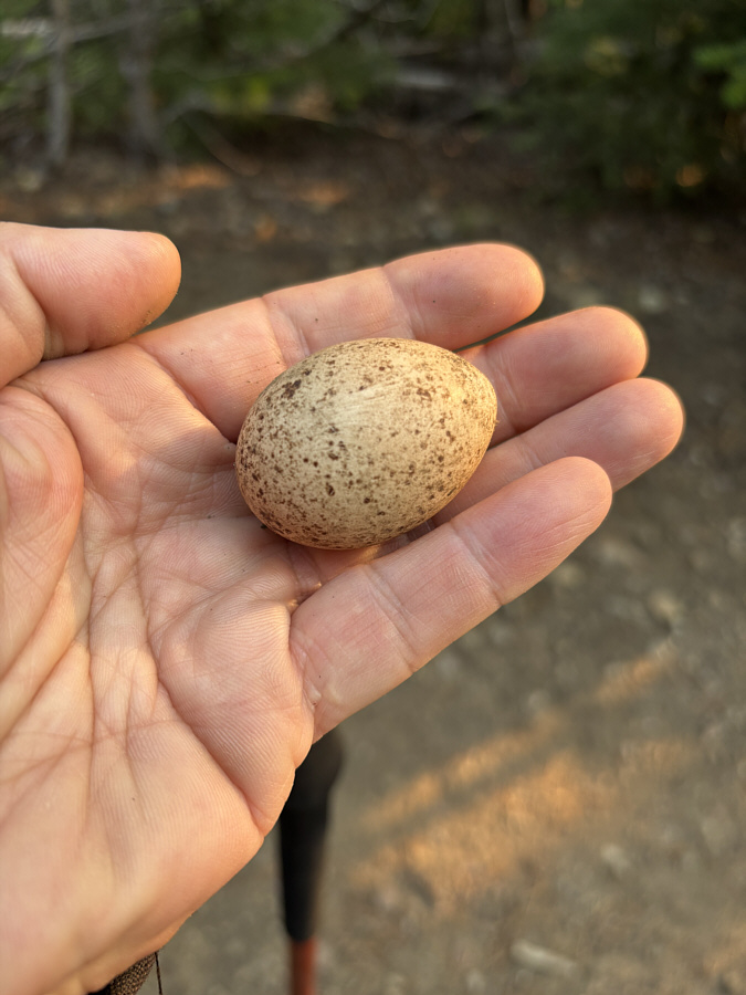
It's a minor miracle that we didn't step on it! This appears to be a grouse egg that inadvertently rolled into the middle of the trail.
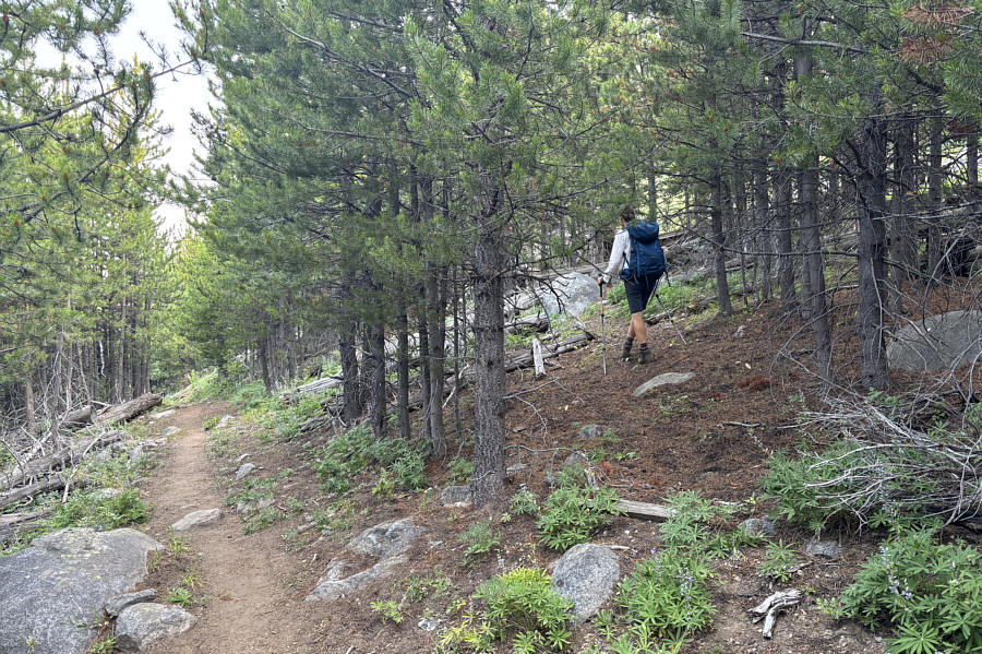
Thankfully, the bushwhacking was light! After a short hike northward along the Kettle Crest Trail, Zosia heads into the trees to ascend the south ridge of Midnight Mountain.
There's even a beaten path in places!

Open slopes like this one make it easy to ascend the south ridge of Midnight Mountain.

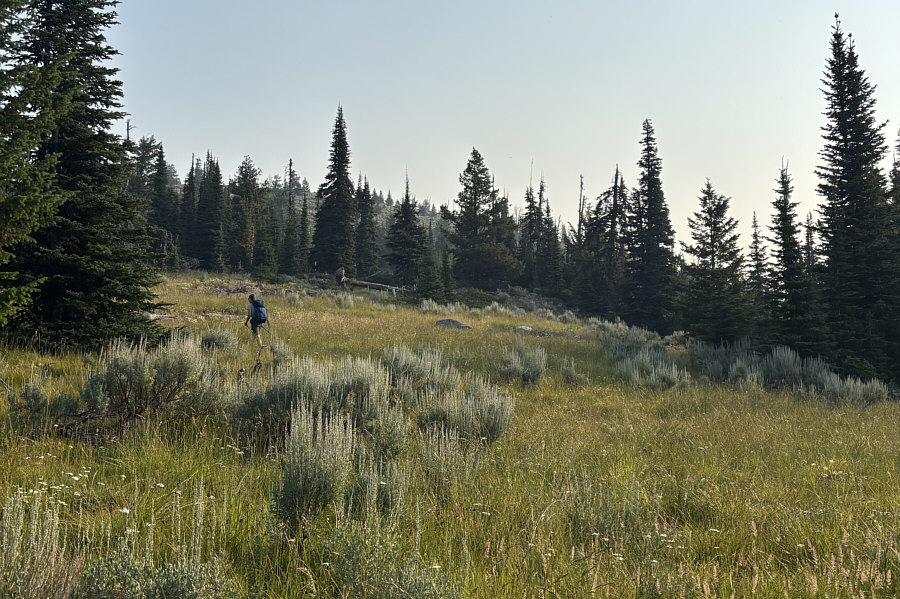
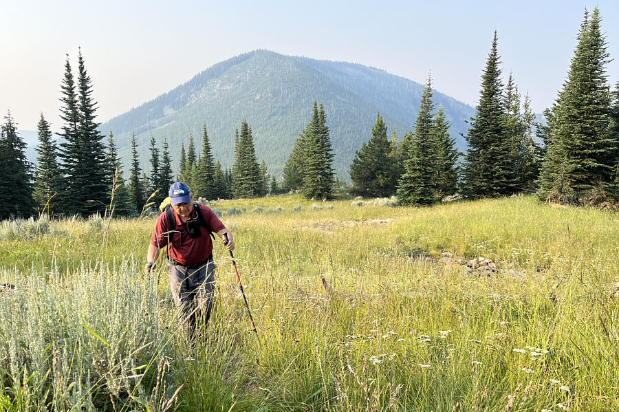
Looks like I'm just walking through a flat meadow. Copper Butte rises behind Sonny as he climbs higher up Midnight Mountain.

Photo courtesy of Zosia Zgolak

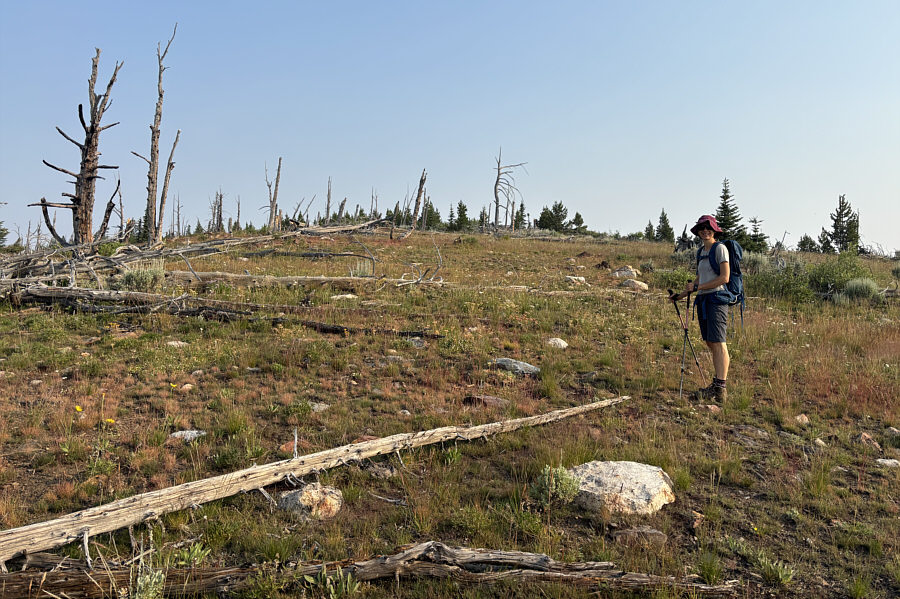
Hope someone built a cairn... The top of Midnight Mountain is quite broad but not as treeless as this spot.
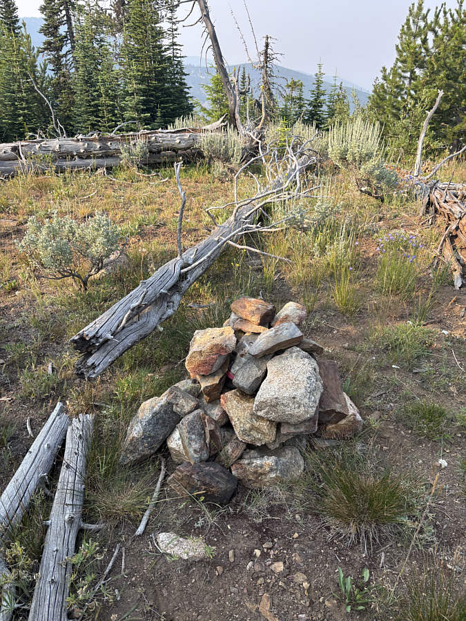
Summit for lazy peak-baggers!  A moldy register can be found in this cairn, but this is not the true summit of Midnight Mountain.
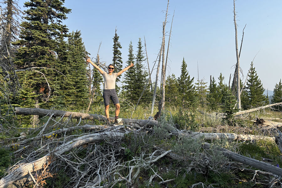
Yay. The apparent true summit of Midnight Mountain (2028 metres) is rather underwhelming.
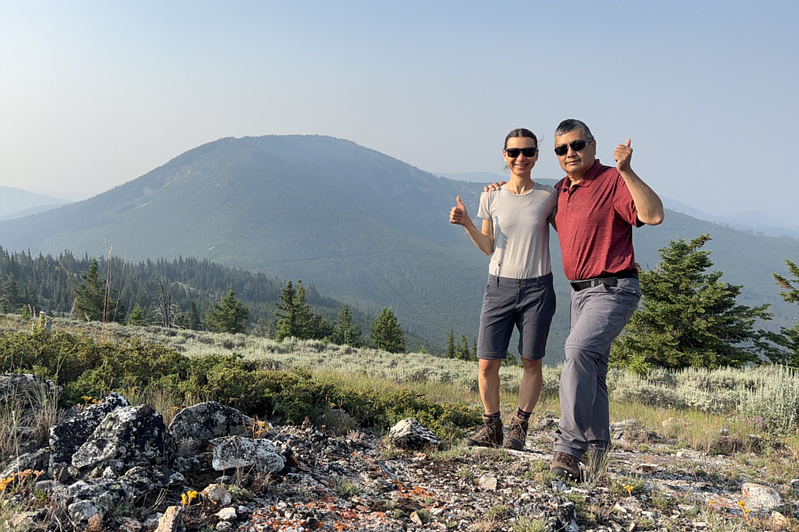
Watch out for a large hole around here! Zosia and Sonny find a more open area west of the summit for a group photo with Copper Butte in the background.
Once we tagged the true summit of Midnight Mountain, Zosia and I wandered a short distance to the southwest for better views of Copper Butte and not much else due to the smoky air.  We then retraced our steps more or less along the summit ridge and down the south ridge.  Upon regaining the trail, we returned to the junction at the saddle and headed southward very briefly along Old Stage Trail #1 before veering left onto the continuation of the KCT.  The KCT makes a couple of long switchbacks here before gaining the north ridge of Copper Butte and running right over the summit.  A fire lookout building was built at the top of Copper Butte in 1921 but then removed 30 years later.

Zosia and I took a break near the summit of Copper Butte before hiking back down to the saddle and returning to the trailhead along Old Stage Trail #75 without incident.
Where's the rest area with flush toilets? Zosia stops for a break at the junction between Old Stage Trail #75 (left) and Old Stage Trail #1 (right).  Old Stage Trail #1 is the remaining segment of Washington's first state highway.
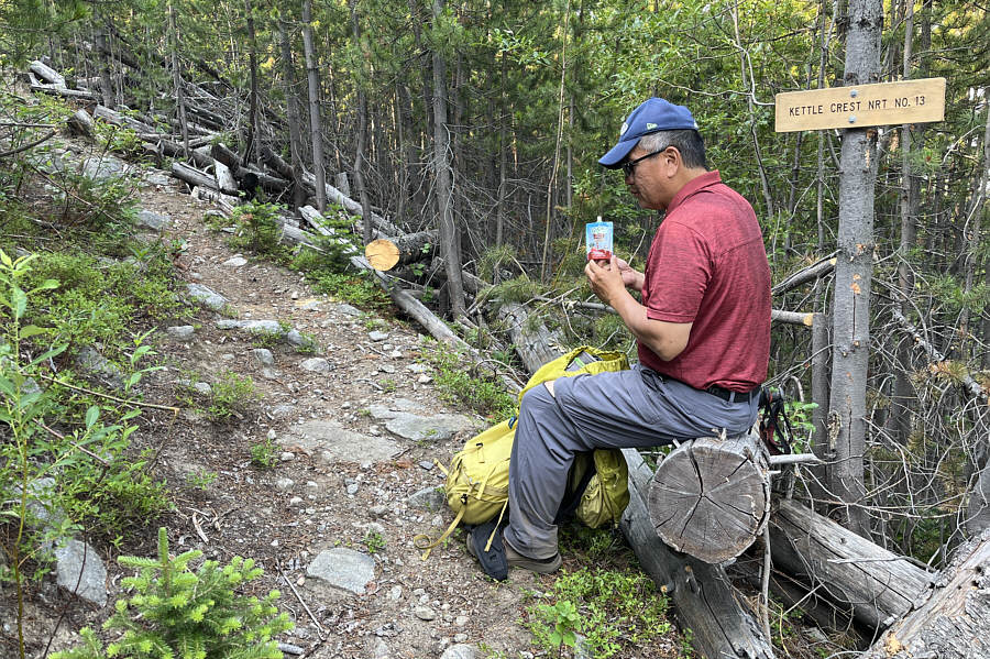
Courtesy of Calgary Catholic School Board! Sonny consumes some applesauce before the final push up Copper Butte.

Photo courtesy of Zosia Zgolak

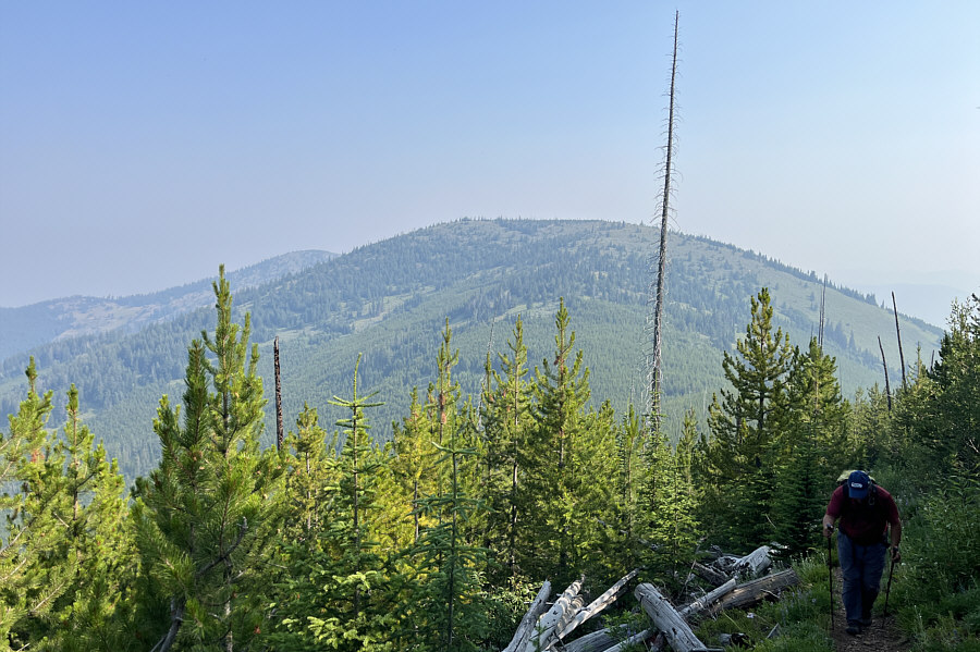
Someone needs to knock that dead tree down! Midnight Mountain rises behind Sonny as he climbs higher up Copper Butte.

Photo courtesy of Zosia Zgolak

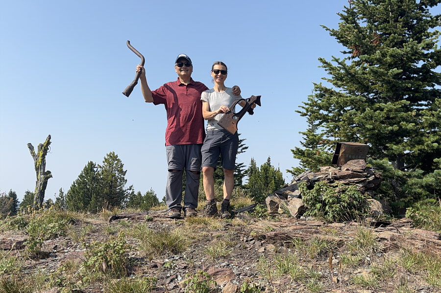
What's left of the first car to drive Washington's first state highway? Sonny and Zosia hold up some artifacts left at the summit of Copper Butte (2178 metres).
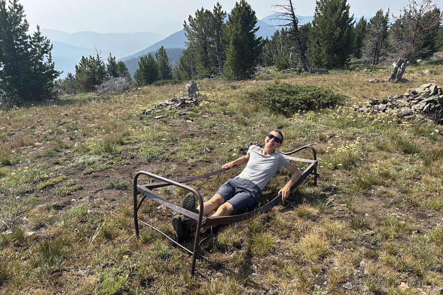
Maybe we should have dragged up our memory foam mattress from our car... Zosia tries out this old bed which has seen better days.
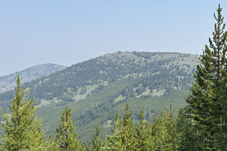
Lotsa named summits in this area...maybe worth a return visit in the future? Here is one last look at Midnight Mountain from the Kettle Crest Trail on Copper Butte.  At distant left is Lambert Mountain.
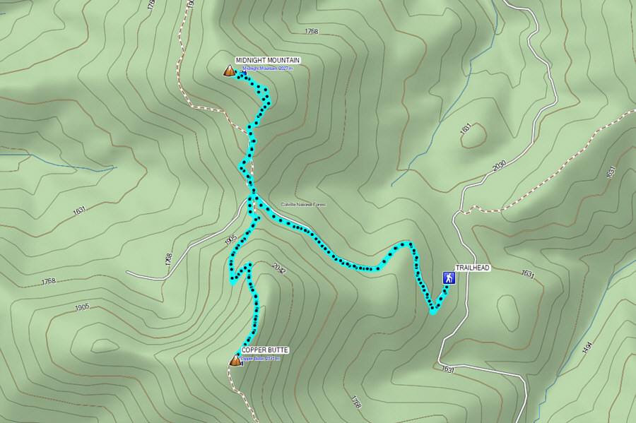
Two peaks for the price of one long drive! Total Distance:  12.6 kilometres
Round-Trip Time:  5 hours 41 minutes
Cumulative Elevation Gain:  655 metres

GPX Data