For our return, Zosia and I retraced our steps back over the south and north summits, down the steep short cut, and out the same forestry/ATV roads. Descending the short cut and parts of the north ridge required some caution due to the slippery footing, but we managed both without a spill. The incoming smoke also did little to suppress the rising heat from the sun, and we would later endure even hotter temperatures as we drove out of the North Cascades into central Washington.
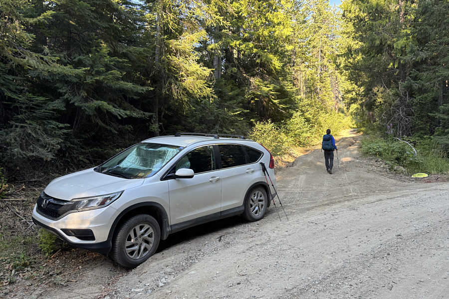 |
Zosia begins hiking along an ATV road branching off from the main access road. |
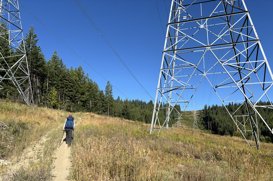 |
Zosia hikes along a power line right-of-way. |
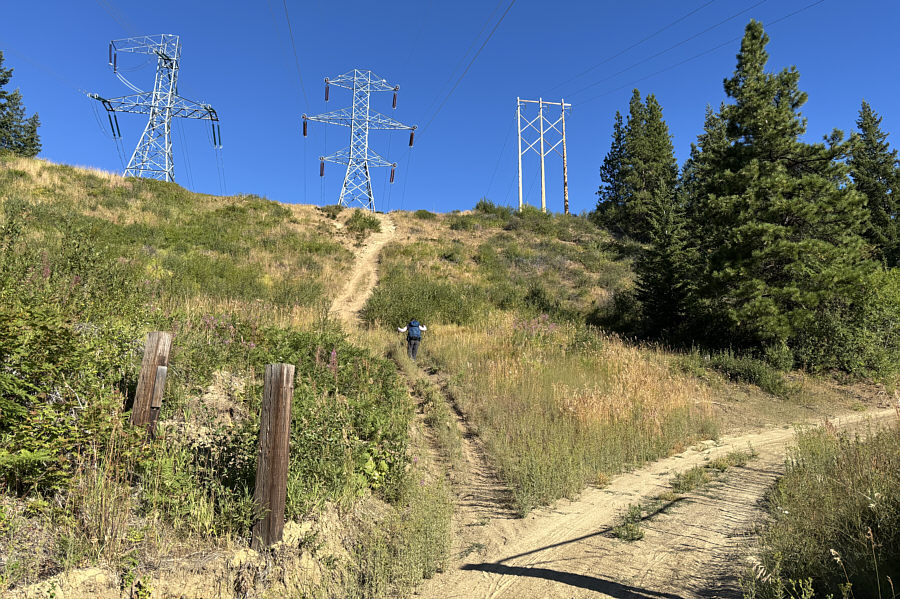 |
Although it is possible to follow the road up to the ridge crest, Zosia decides to take a steep short cut. |
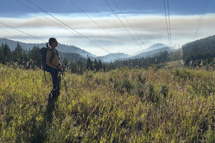 |
On the ridge crest, Zosia observes wildfire smoke drifting into the area from the east. |
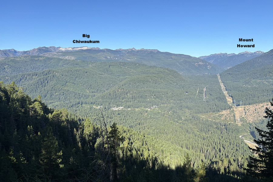 |
A break in the forest along Natapoc Mountain's north ridge grants this view to the west. |
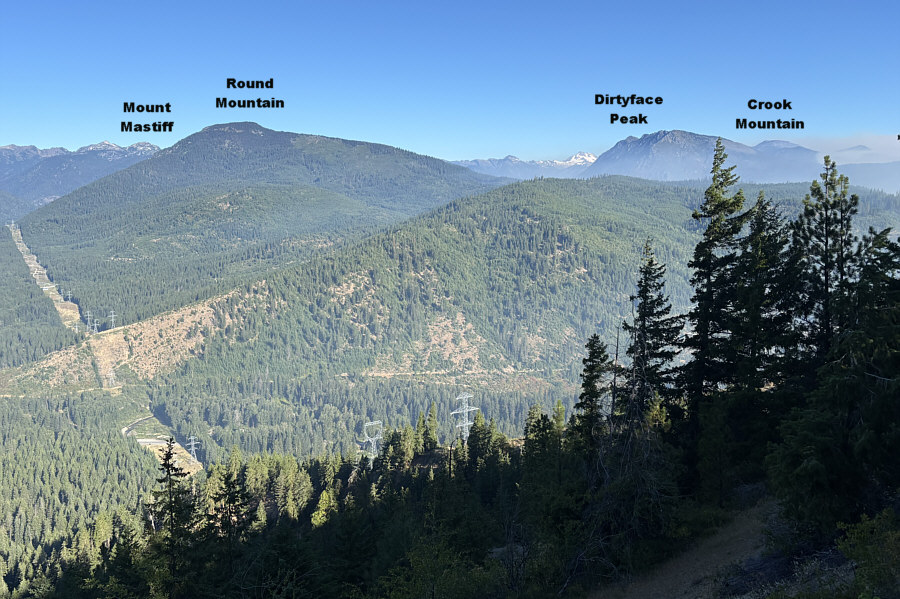 |
Right of centre on the northwest horizon is snowy Glacier Peak. |
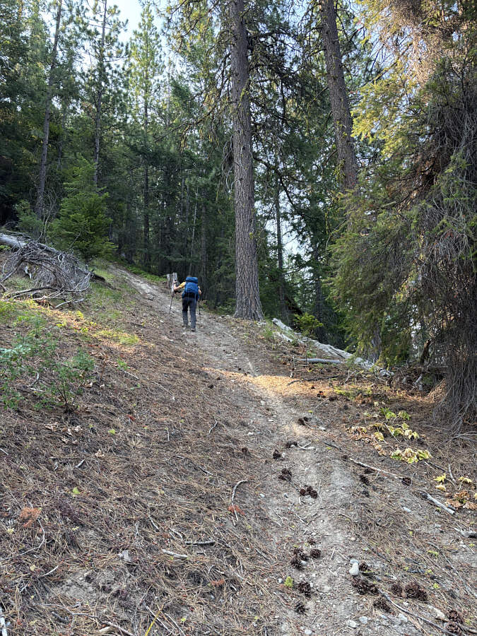 |
Zosia grinds her way up a very steep trail on the north ridge. |
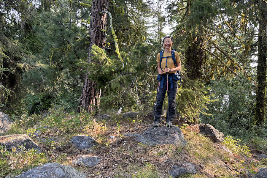 |
Zosia stands on the north summit (1283 metres) of Natapoc Mountain. |
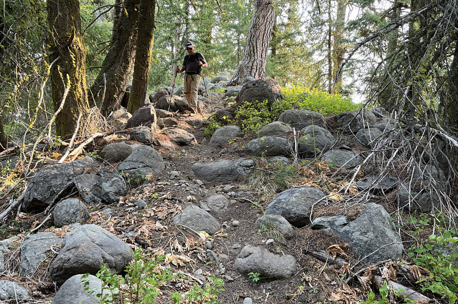 |
Sonny drops down the south side of the
north summit. Photo courtesy of Zosia Zgolak |
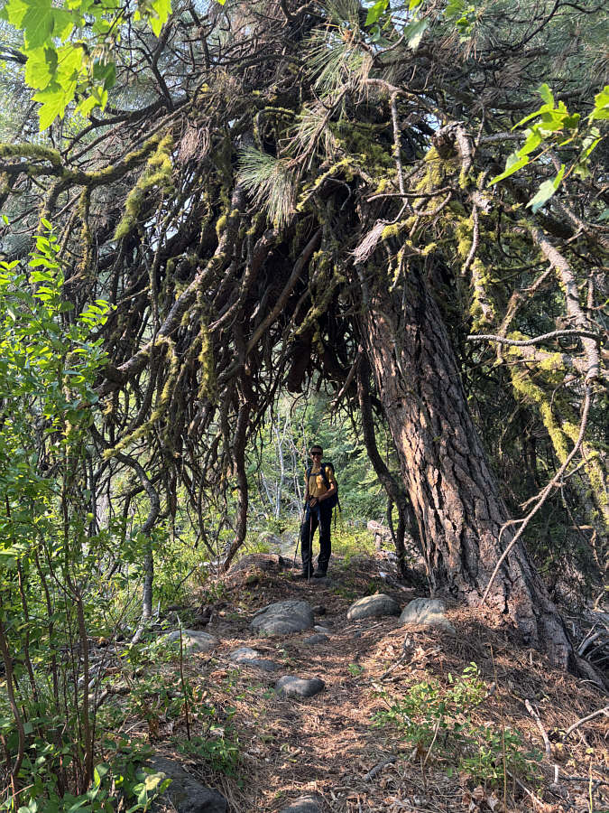 |
The trail between the two summits of Natapoc Mountain passes under this rather crazy-looking tree. |
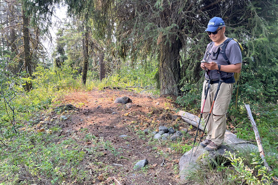 |
Sonny takes a GPS reading on the south
(true) summit (1287 metres) of Natapoc Mountain. Photo courtesy of Zosia Zgolak |
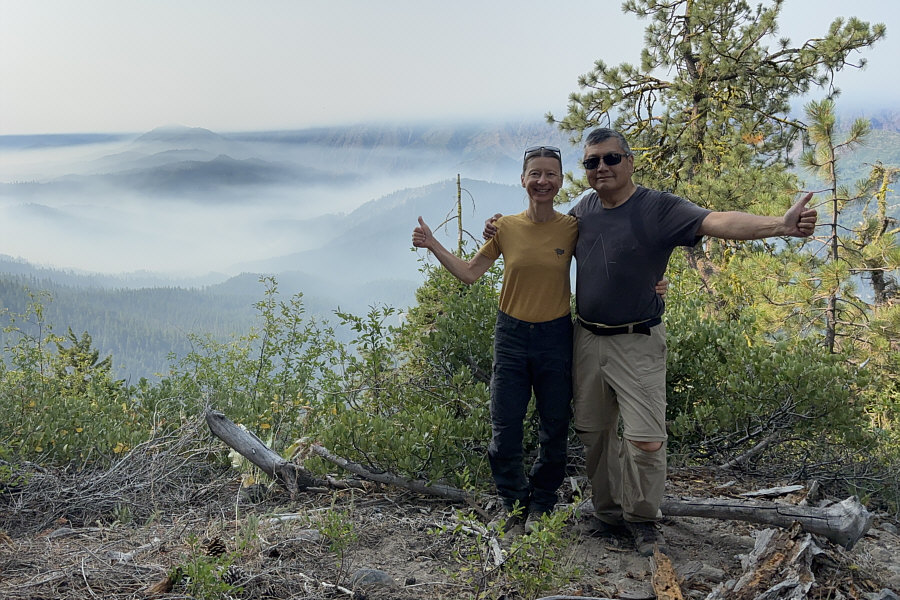 |
Zosia and Sonny pose at a semi-open viewpoint a short distance below the south summit. The view to the south includes Tumwater Mountain (left) which is nearly obscured by incoming smoke. |
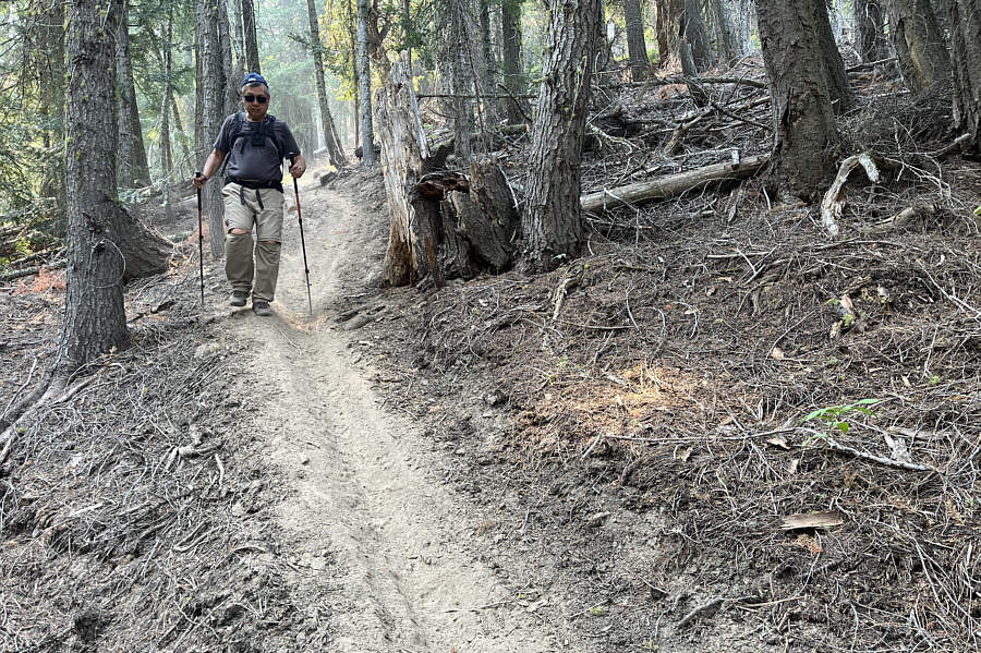 |
Sonny descends a very steep and dusty
section of the trail on the north ridge. Photo courtesy of Zosia Zgolak |
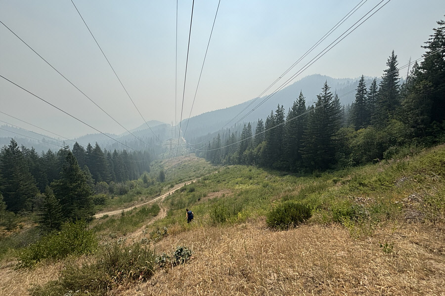 |
Zosia drops back down the same short cut she took earlier along the power line right-of-way. Despite the smoke, the top of Natapoc Mountain is still visible at right. |
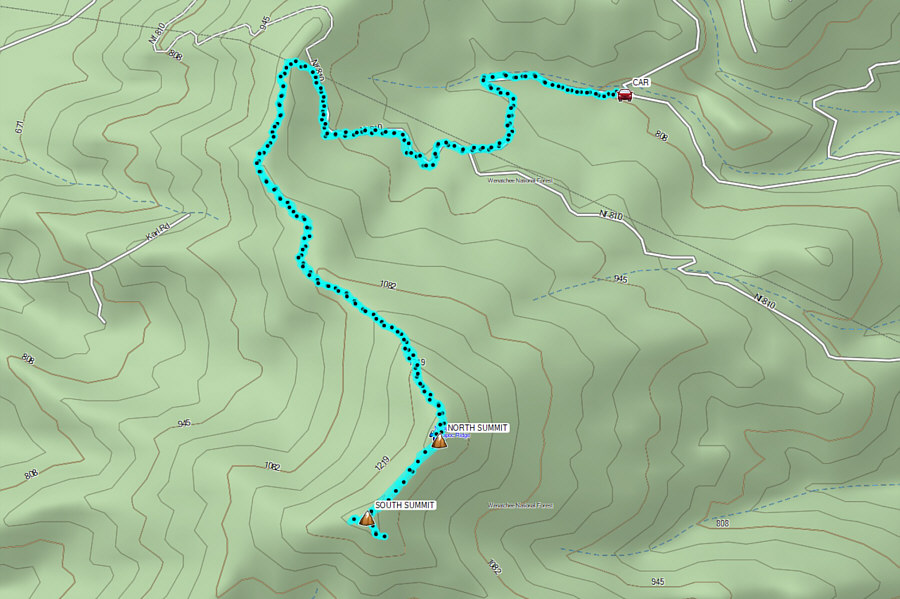 |
Total Distance: 10.3 kilometres Round-Trip Time: 4 hours 48 minutes Cumulative Elevation Gain: 497 metres |