BOU AVENUE
North Menan Butte

Wrapping up our holidays in Idaho on 3 January 2026, Zosia Zgolak and I hiked North Menan Butte, a volcanic crater located near the city of Rexburg.  I basically stumbled onto this objective while perusing Google Maps since it was somewhat on our way as we headed northward to Montana, but unbeknownst to us at the time, our friends, Dinah Kruze and Bob Spirko had also hiked here in 2022.  Along with its sister crater to the south, North Menan Butte was formed from an explosive mix of hot magma and cold groundwater.  While South Menan Butte sits on private property and is strictly off-limits to the public, the higher North Menan Butte can be accessed via a couple of different trailheads--one to the south which is reached from East Butte Road (43.77650, -111.97342) and a more developed one (with vault toilets) to the west which is just off the east side of Twin Butte Road (43.78563, -111.99049).

Starting from the west trailhead, Zosia and I hiked up the obvious trail winding up the west slopes of North Menan Butte.  Some fencing has been erected to discourage short-cutting, and on a steep section higher up, there is a chain railing to aid with balance.  Despite the presence of snow, the footing on the trail was surprisingly good possibly because of the grippy volcanic soil or rock underfoot.  Upon reaching the rim, we turned right and proceeded to hike a counter-clockwise loop around the crater.  There is also a trail that cuts through the middle of the crater, but we opted to skip it.  The south side of the rim has some surprisingly rugged features which require some careful route-finding and maybe even a little hands-on scrambling to get through.  Once we passed the breach on the southeast side of the crater (the trail from the south trailhead joins in somewhere here), we easily ascended the eastern rim to reach the true high point which is on a prominent rock outcrop with a survey benchmark.  From there, we circled around the north rim passing through some unexpectedly interesting lava formations before ultimately returning to the start of our loop.  We then followed the same trail back to the west trailhead.  The snow made descending some of the steep sections a bit daunting, but as mentioned, the footing was reliable throughout.

Although Zosia and I still had another day in Montana before returning to Canada, North Menan Butte would be the last hike of our two-week Christmas vacation.  Over the 16 days, we crawled through 3 caves, played 9 rounds of disc golf, tagged 17 summits, drove 3695 kilometres, and watched countless movies on TV.  Whew!  I think I need another vacation!
Doesn't look like much from here! 
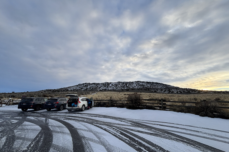
Here is the view of North Menan Butte from the trailhead.
Makes sense given how popular this hike is. 
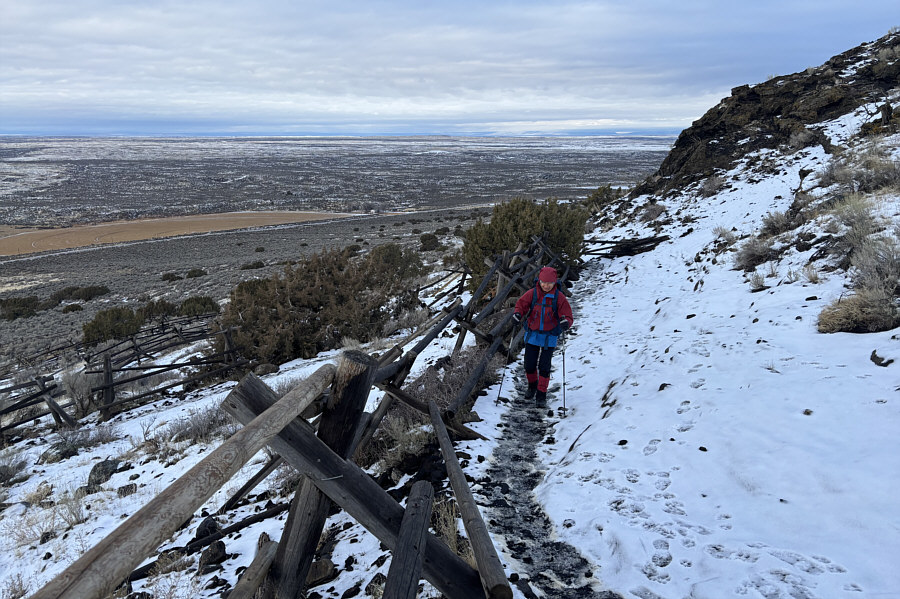
Fencing here encourages hikers to stay on the trail and not take short cuts.
Fortunately, the lava rock underfoot is not too slippery even when wet or snowy. 
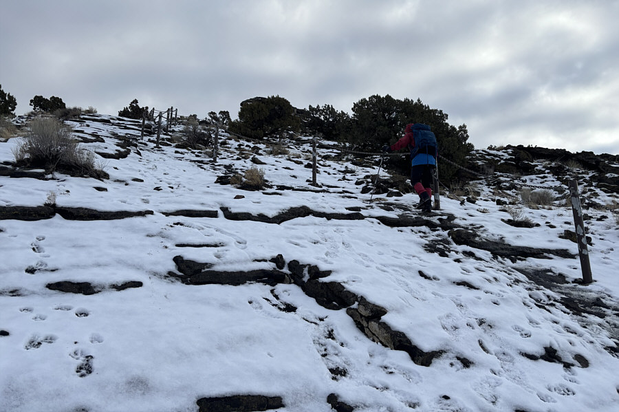
A chain railing aids passage through this steep section of trail.
Elephant rock?

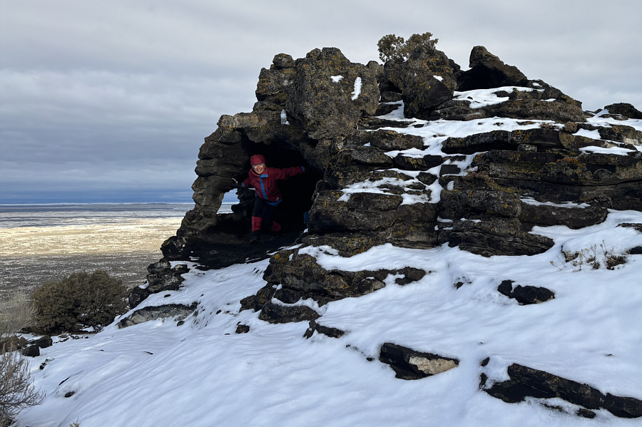
Zosia finds a good spot to take shelter from the wind or inclement weather.

Looks like most people who hike the rim do so in a counter-clockwise direction. 
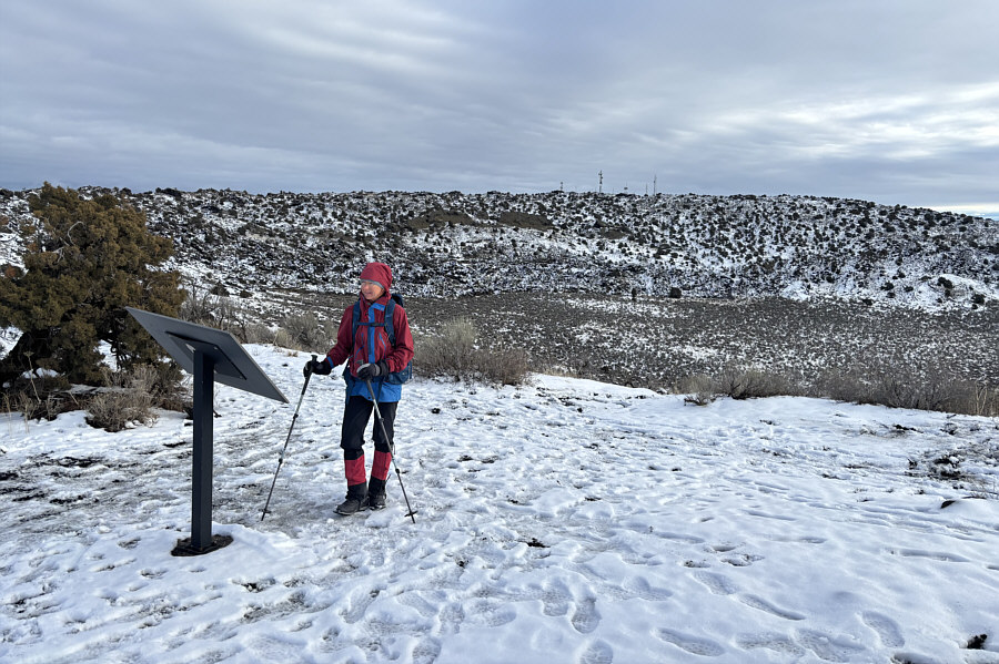
Zosia reads an interpretive sign on the western rim of North Menan Butte.  The true high point is somewhere on the far rim near the antennas.
Glad that the higher North Menan Butte is open to the public! 
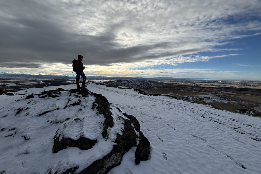
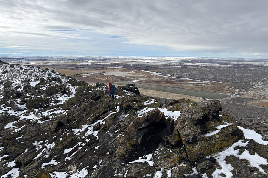
Zosia looks toward South Menan Butte (centre) from North Menan Butte's southern high point (S1; 1695 metres).  South Menan Butte is on private property and is off-limits to the public.

Nice to have sunshine!

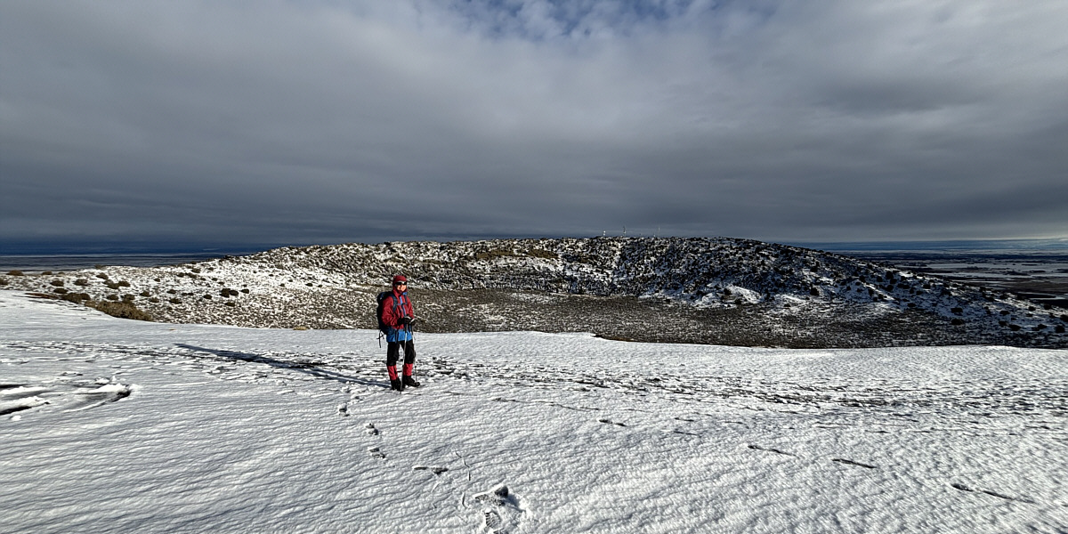
Here is a more comprehensive view of the entire crater.


Totally unexpected! 
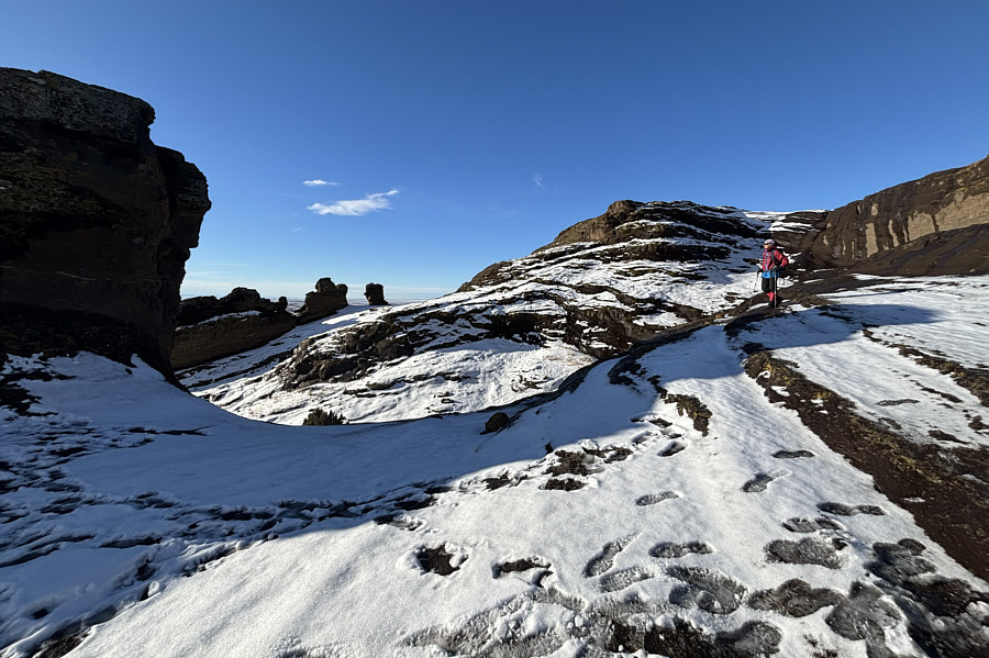
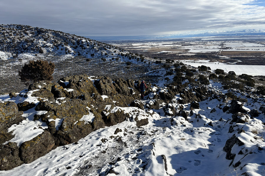
The southern section of the rim is surprisingly rugged.
A most interesting section to hike! Zosia makes her way down to the breach--the lowest point of the rim.
Just hoping we'll be able to find a definitive high point up there! 
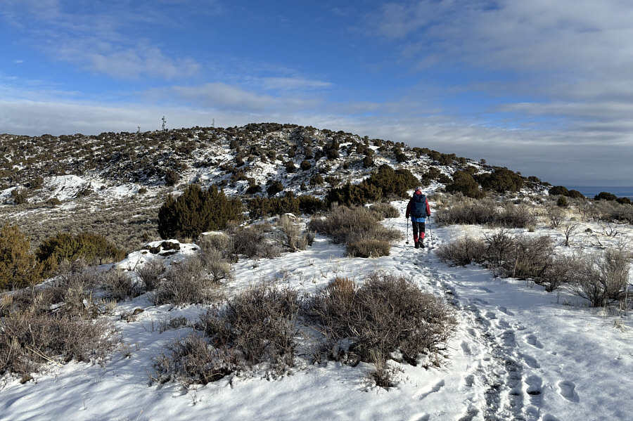
Zosia ascends the higher eastern side of the rim.
And yet, no free Wi-Fi here! 
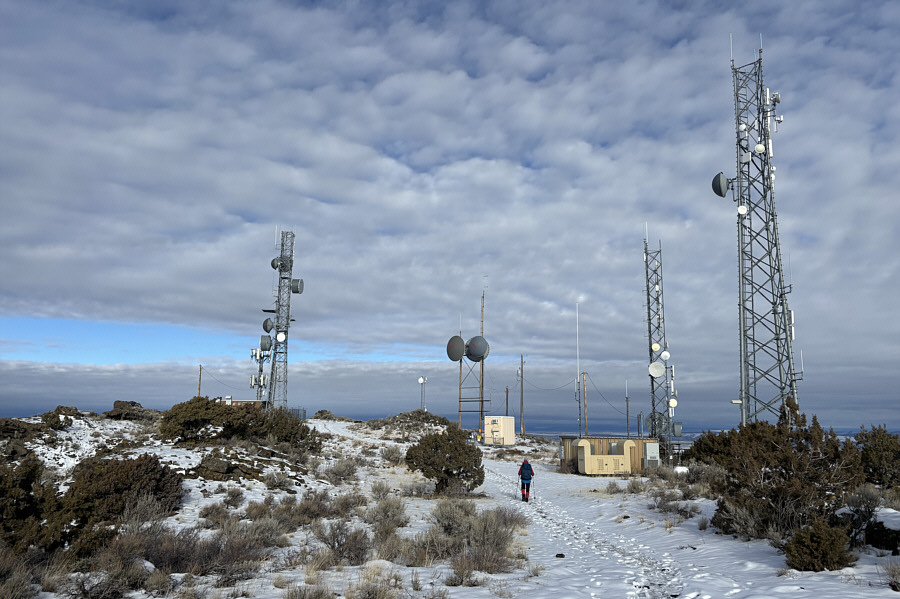
The eastern rim is cluttered with antennas.
Thank goodness you don't have to guess where the high point is on this one!

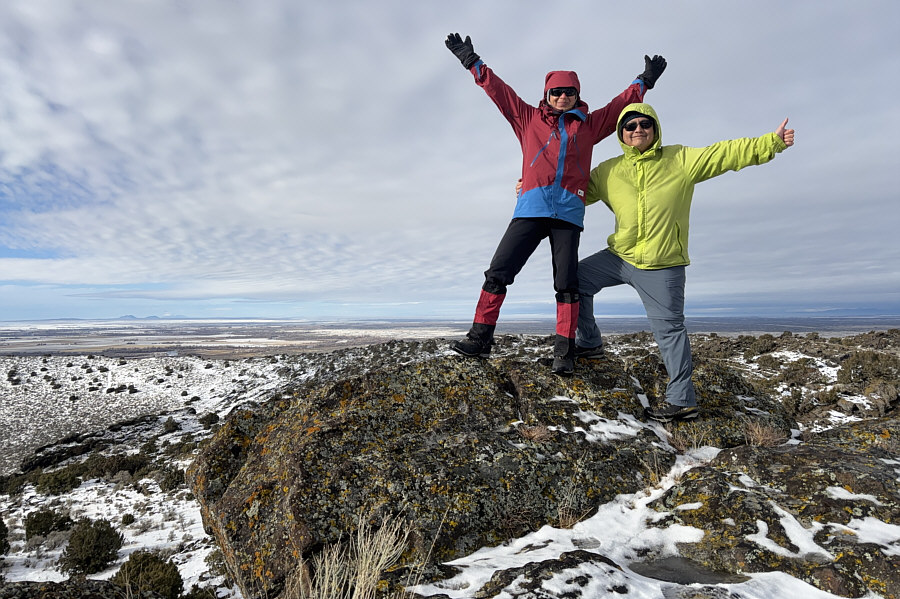
Zosia and Sonny stand on the high point of North Menan Butte (1720 metres).

More interesting terrain! Zosia carefully picks her way through the rocks on the northern section of the rim.
Looks more prominent here than from the trailhead. 
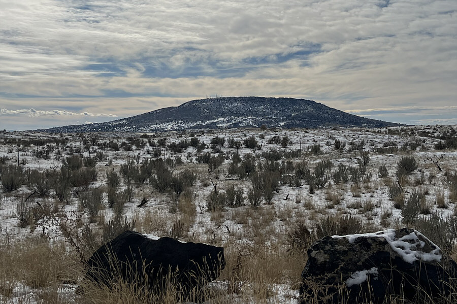
Here is a last look at North Menan Butte from Highway 33 to the north.
A deservedly popular and rewarding hike. 
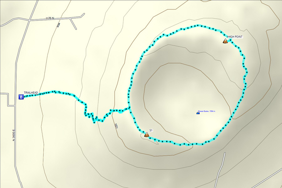
Total Distance:  5.9 kilometres
Round-Trip Time:  3 hours
Cumulative Elevation Gain:  239 metres

GPX Data