BOU AVENUE
Pasque Mountain East
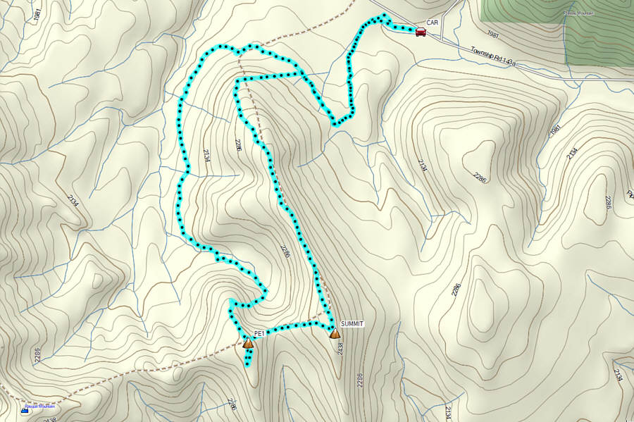
On 30 September 2026, Zosia Zgolak and I hiked up the two eastern peaks of Pasque Mountain--I refer to both collectively as "Pasque Mountain East"--located at the south end of Alberta's Cataract Creek Snow Vehicle Public Land Use Zone.  The two peaks are part of an optional horseshoe loop extension to the ascent of Pasque Mountain as described in Gillean Daffern's Kananaskis Country Trail Guide.  Since I had already tagged the true summit of Pasque Mountain years ago, I was only interested in hiking the eastern peaks and was largely inspired by Bob Spirko's 2018 trip report.  Spirko used the word "bittersweet" to describe his trip because they had enjoyed a nice ridge walk only to follow it up with an unpleasant thrash through cut blocks which had apparently wiped out a good trail along the southern tributary of Wilkinson Creek.  In a postscript, Spirko reported that the good "trail was cleared the following spring" by the logging company, Spray Lake Sawmills (now owned by West Fraser Timber Company), at the behest of Daffern.  However, I was doubtful that Spray Lake Sawmills would have made any efforts to clear the trail just for the benefit of hikers.  As such, we opted to do Spirko's loop in reverse in anticipation of enduring all the potential "bitter" parts first and then saving the "sweet" parts for the second half of our trip.

From Highway 22, turn west onto Highway 532 (2WD gravel) and drive 26 kilometres to the junction with Highway 940 (Forestry Trunk Road).  Turn right and continue west for 5.7 kilometres to a pullout with a hitching post on the south side of the Forestry Trunk Road.  Park here.  This spot can also be reached by driving south from Highwood Junction on the Forestry Trunk Road for 32.1 kilometres.  All these roads have seasonal closures and are only accessible annually from May 1 to November 30.

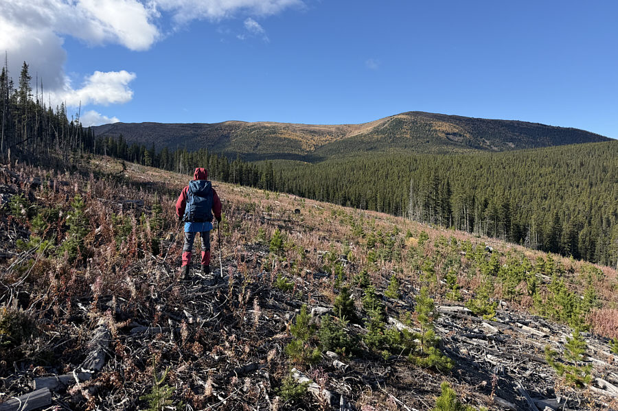
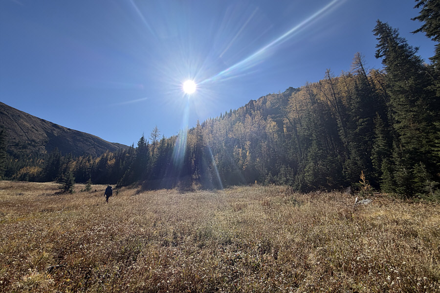
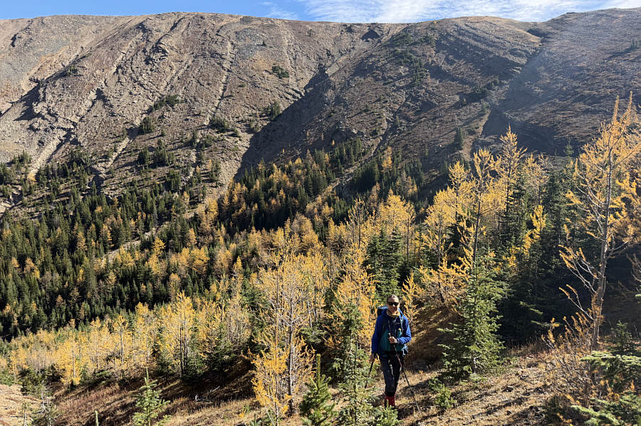
Going past the hitching post, Zosia and I walked briefly along a double-track heading westward before veering left into a grassy meadow.  At the far side of the meadow, we picked up a good access trail which heads south into forest and winds around the head of a drainage.  The trail then wraps around the end of the north ridge of the easternmost peak of Pasque Mountain East.  Just as I had feared, the trail disappears abruptly in the first of a series of large cut blocks, and it did not appear that any effort was made to restore it.  We simply trudged through the unpleasant slash as best as we could.  Initially, we tried to stay closer to the edge of the forest on the uphill (east) side of the cut block but found the abundant deadfall there to be horrendous.  We therefore dropped lower down the slope where the logging slash was much easier to navigate.  A couple of times, we were able to follow remnants of the trail only to have it disappear again.  Beyond the final cut block, we regained the trail which led us into a basin encircled by the two peaks of Pasque Mountain East.  The trail petered out here, but with a little bit of route-finding, we made our way to the back of the basin where we proceeded to climb up a larch-covered slope.  Originally, I had intended to veer south to a saddle separating the two peaks, but when we climbed higher to get a closer look at some bighorn sheep, we decided to just carry on up to the north side of the western peak.  Though steep in places, this route turned out to be quite straightforward, and we were soon walking easily to the flat top of the western peak.  After a quick detour to check out a rock outcrop further south, we returned to the western peak's summit and stopped nearby for a lunch break.

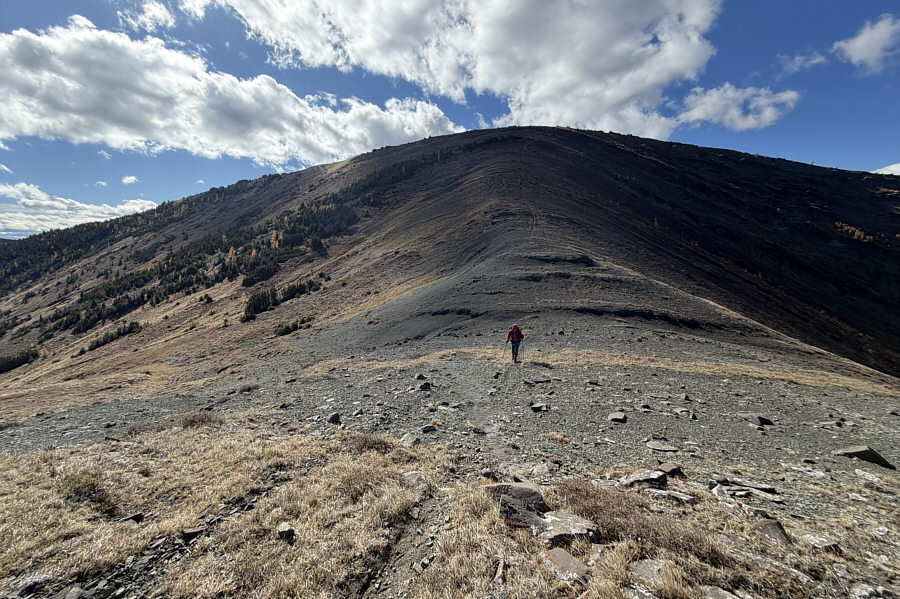
When we resumed hiking, Zosia and I dropped steeply down the east side of the western peak into the saddle before climbing up the other side to reach the summit of the eastern peak.  We stopped there only long enough to take some photographs and sign the summit register before turning to descend the north ridge.  The north ridge is generally easy to navigate, but there are some rocky sections that need to be either bypassed or scrambled.  For at least one stretch, we traversed slightly below the crest on the lee (east) side both to take shelter from a chilly wind and to get a closer look at some more larches.  As we worked our way down the steep north end of the ridge, we had to be vigilant to find the east-west cut line described by Daffern.  It is not flagged and would be easy to miss in the direction we were going, but fortunately, Spirko's GPS track was helpful for confirming the cut line's location.  The cut line became more obvious as we descended eastward, and we ultimately intersected the same access trail we started the trip on.  Instead of staying on the cut line and taking a short cut as Spirko's party had done, we took the longer way back by retracing our steps along the access trail.  The return to the grassy meadow and our parked car was easy and stress-free.
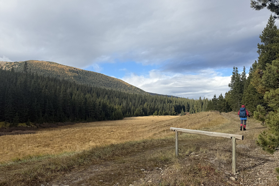
Flagging would help! Zosia begins hiking along a double-track starting from this hitching post.  The actual access trail begins at an unmarked spot in the forest at the far end of the grassy meadow.  Visible at left is the north ridge of the eastern peak of "Pasque Mountain East".
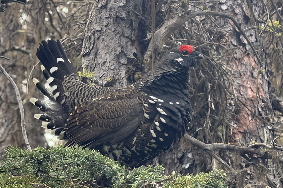
Don't mess with me! A male spruce grouse is perched on a tree branch beside the trail.
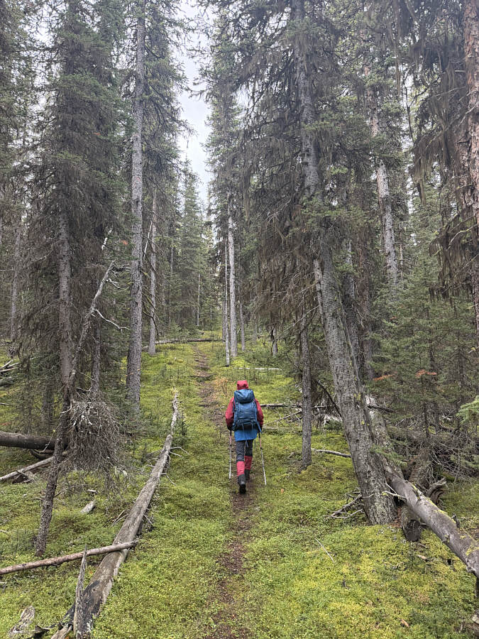
Nice mossy ground! The forested access trail is easy to follow near the beginning.
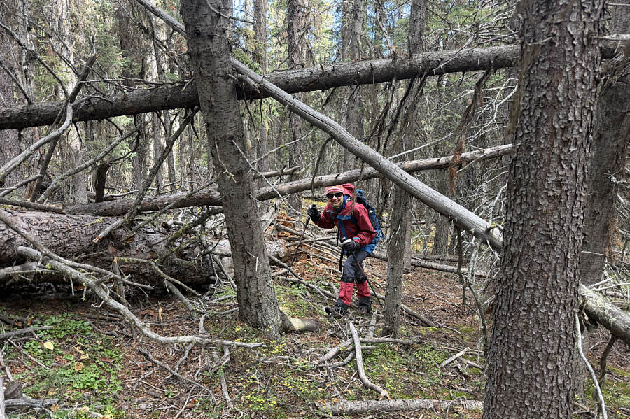
Just duck! This section of trail is blocked by deadfall.
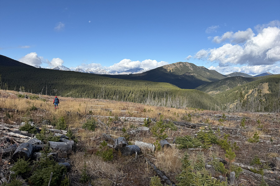
Fixed the trail, my ass! The trail disappears in a vast cut block.  Visible at right is "Wilkinson Ridge".
Not difficult but tedious. Zosia muddles her way through logging slash.
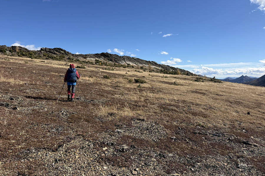
Some route-finding needed to get here. Zosia crosses a meadow below a slope of golden larches.
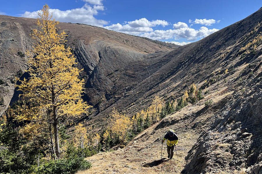
And not a single tourist in sight! Zosia climbs past more golden larches.

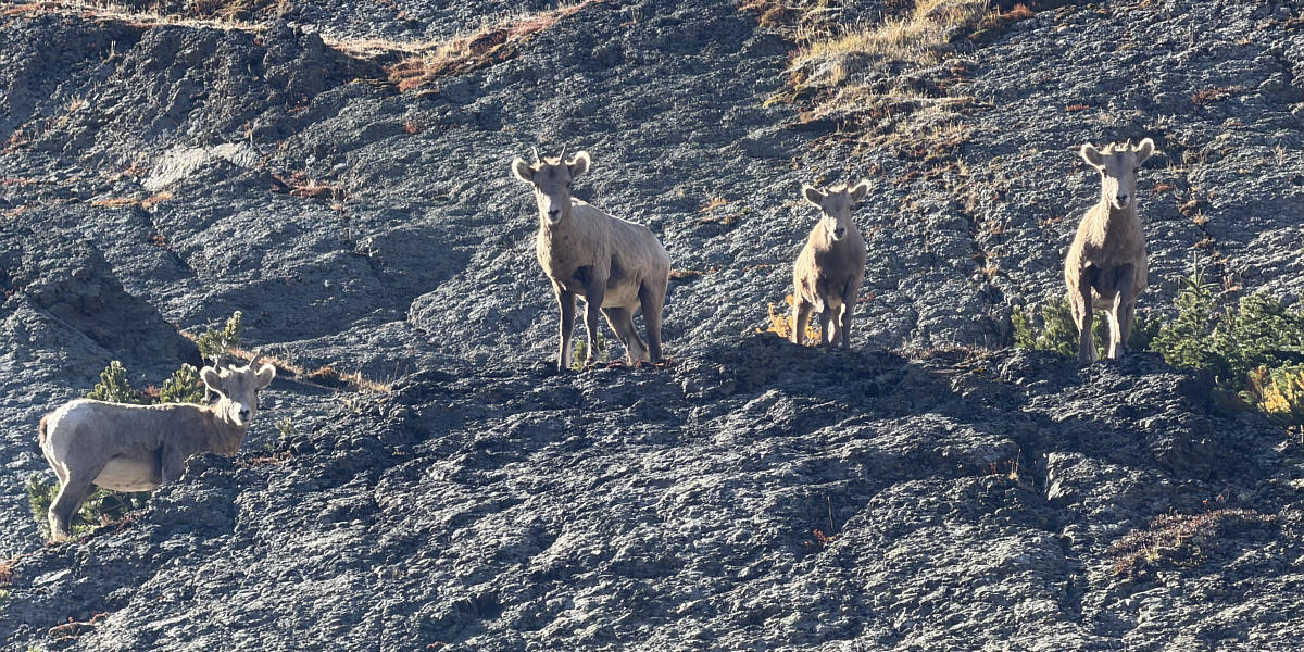
Who dat?

A herd of sheep look down curiously at intruders into their territory.
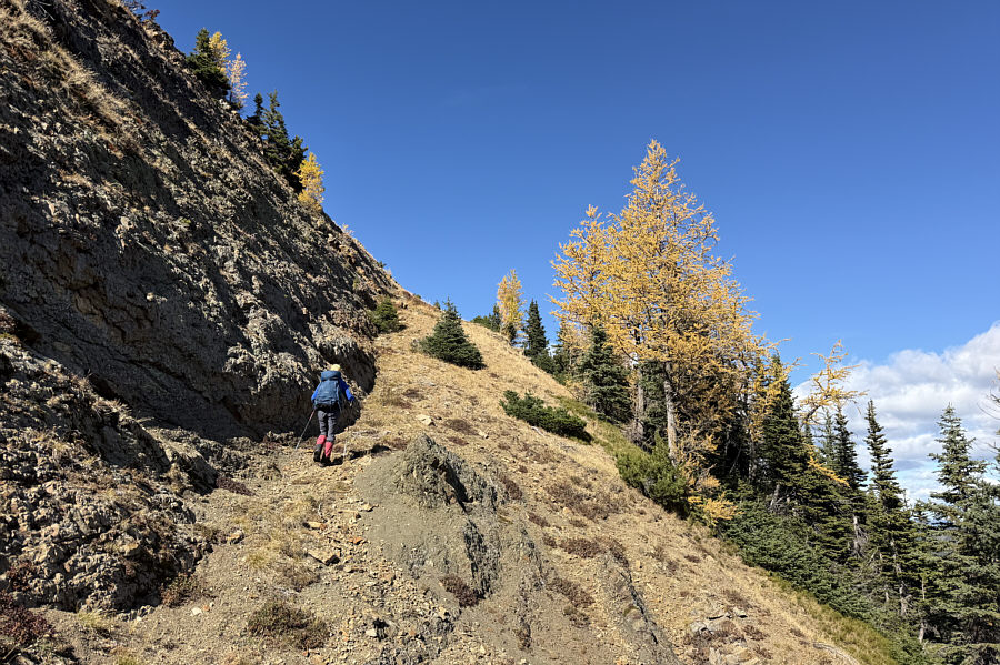
 

And right beside a nice-looking golden larch! Zosia ascends a convenient ramp rising up a steep slope.
The sheep probably go over that saddle a lot! Sonny comes up the same ramp.  Visible behind him is a saddle separating the two peaks of Pasque Mountain East.

Photo courtesy of Zosia Zgolak

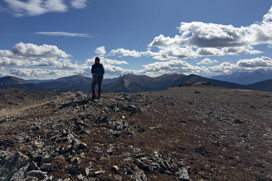
Hmmm...that rock outcrop in the distance looks higher...maybe! Zosia stands atop the lower western peak (PE1; 2466 metres) of Pasque Mountain East.  Note the rock outcrop at distant right.
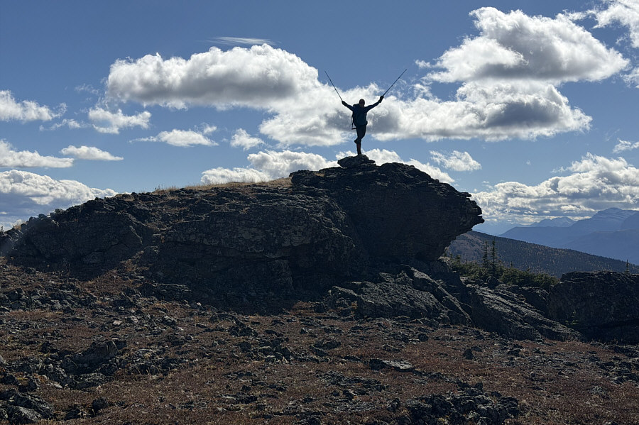
The rock looks like a kissing fish to me! Zosia balances on the rock outcrop (2459 metres) south of the western peak's summit.
The ridge in the foreground is probably seldom hiked. Here is the view to the southeast from the top of PE1.

You could play soccer on this mountain top!

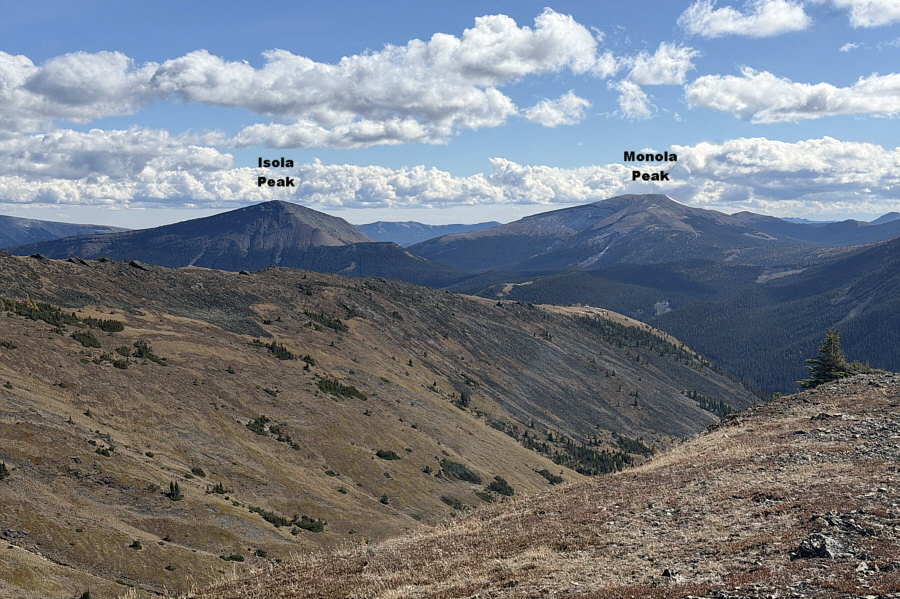
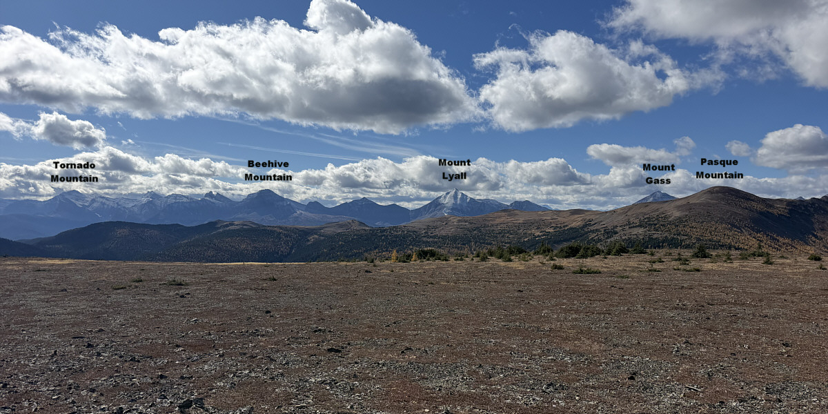
This is looking southwest to the peaks along the Continental Divide.
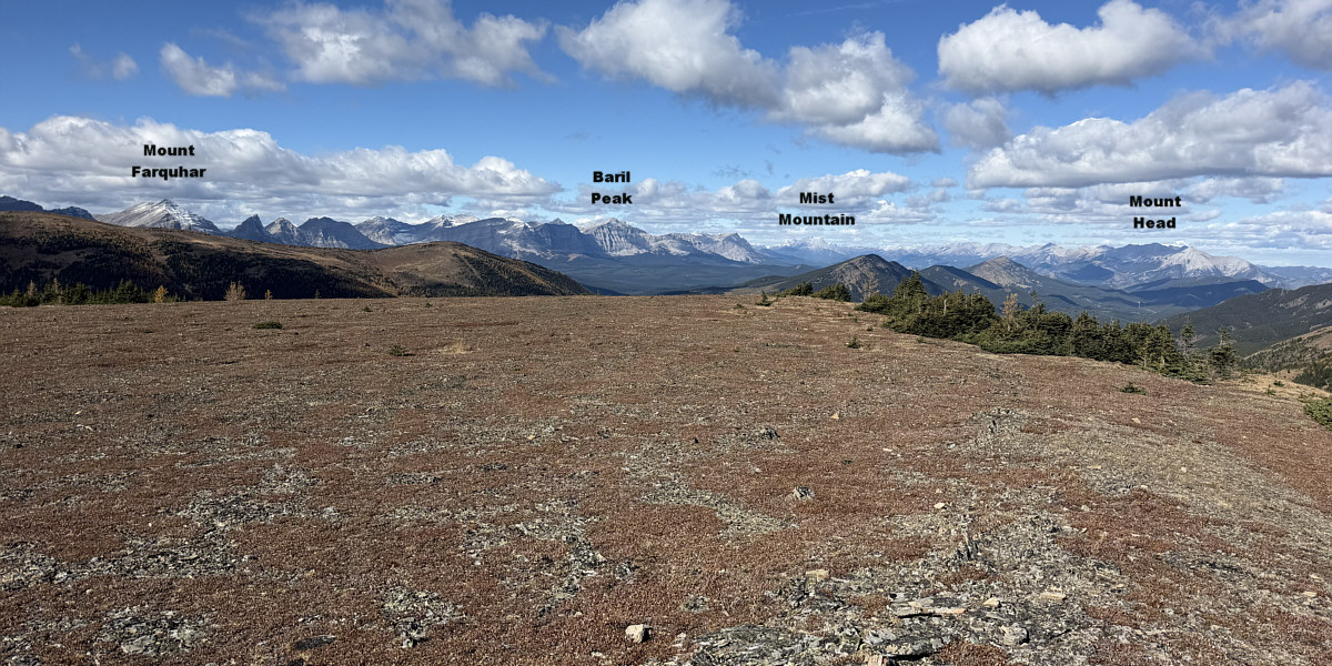
 

Mist Mountain is 50 kilometres away.

The view to the northwest is both panoramic and far-reaching.
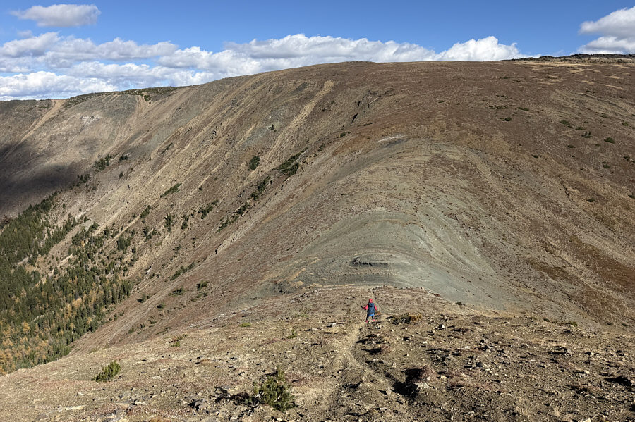
 

Steeper than it looks here! Zosia drops into the saddle separating the two peaks of Pasque Mountain East.
Very cold wind here. Zosia crosses the saddle in this view looking back at the western peak.
Some easy scrambling coming up. Zosia approaches the summit of the eastern peak.
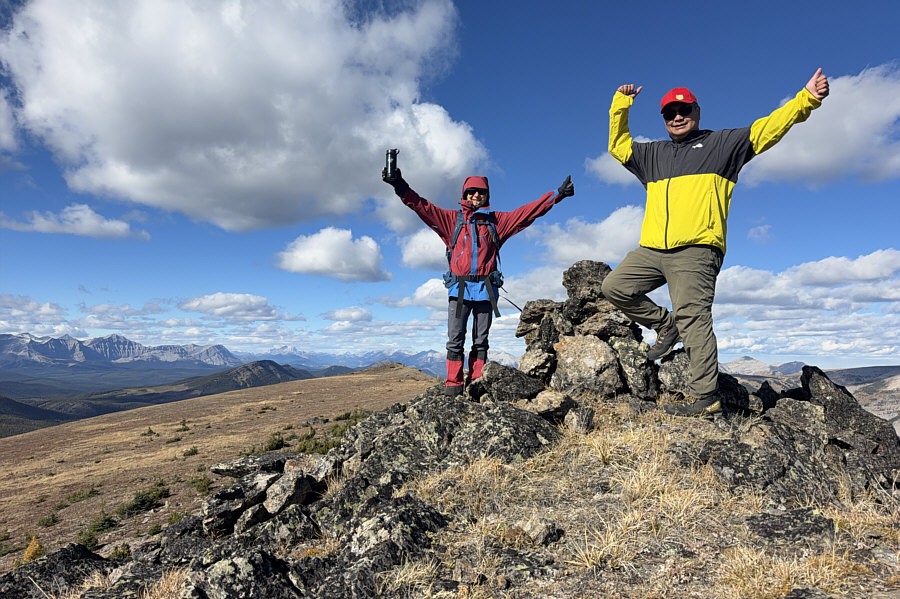
There's even a register here! Zosia and Sonny stand atop the eastern peak (2501 metres) of Pasque Mountain East.
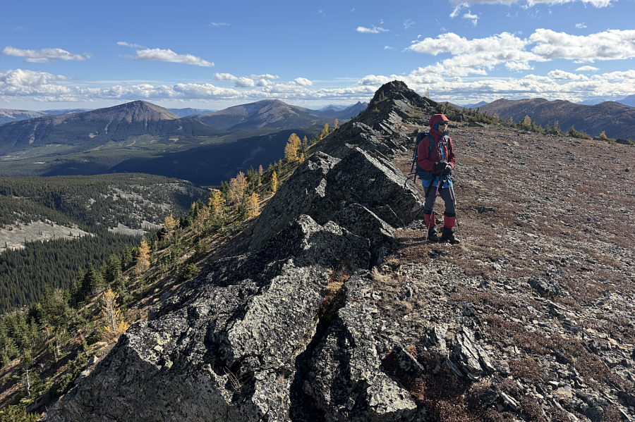
Rocky cockscomb! The top of the eastern peak is characterized by a rocky crest.
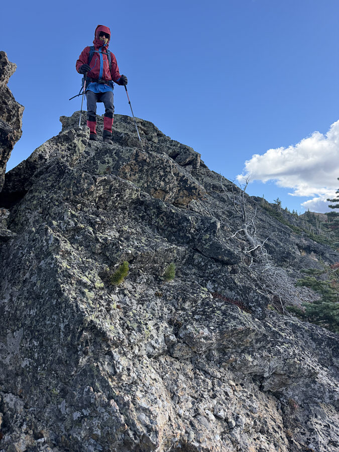
Entirely avoidable. Zosia descends a rocky step along the north ridge of the eastern peak.
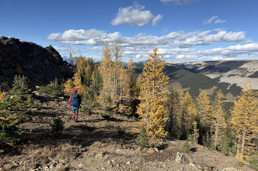
And it's less windy here on the lee side of the ridge. Zosia passes another stand of golden larches while traversing the north ridge.

The larches are nicely highlighted by sunlight.

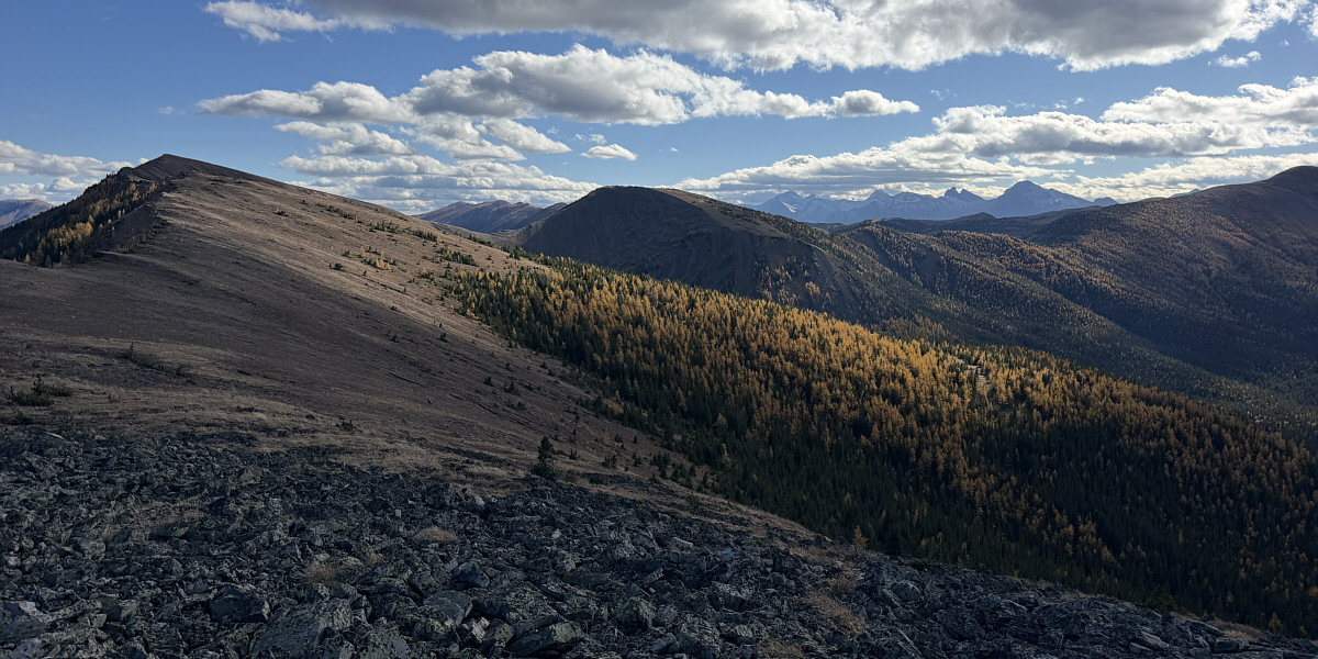
Here is a look back at the two peaks (far left and centre) of Pasque Mountain East from the eastern peak's north ridge.
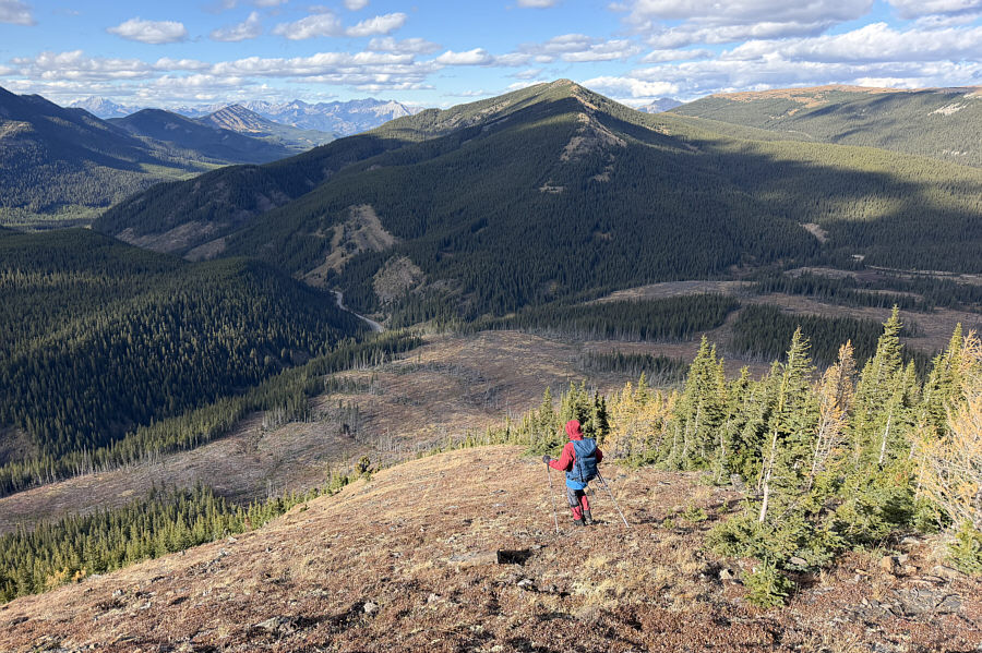
 

Would be easy to miss the cutline short cut here. Zosia drops steeply down the end of the north ridge.
Thinnest cutline ever--must've been cut with a very sharp knife! Zosia follows a cut line that will lead her back to the access trail.
Do the "bitter" part first and then enjoy the "sweet" part last! Total Distance:  14.9 kilometres
Round-Trip Time:  7 hours 33 minutes
Cumulative Elevation Gain:  703 metres

GPX Data