BOU AVENUE
Perley Rock Trail
Wrapping up the Thanksgiving long weekend, Zosia Zgolak and I hiked the trail to Perley Rock in British Columbia's Glacier National Park on 12 October 2026.  I have wanted to hike this premier trail for years but was always waiting for just the right weather and circumstances.  The trail is not for the faint of heart as it rises more than a vertical kilometre over a distance of less than seven kilometres.  Fortunately, the jaw-dropping scenery throughout the hike makes it easy to forget about the massive elevation gain.  Furthermore, the trail is well-maintained, and all junctions are signed which simplifies route-finding.

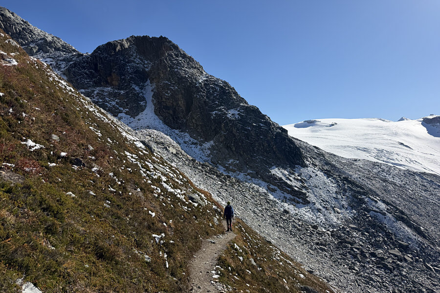
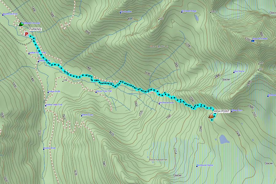
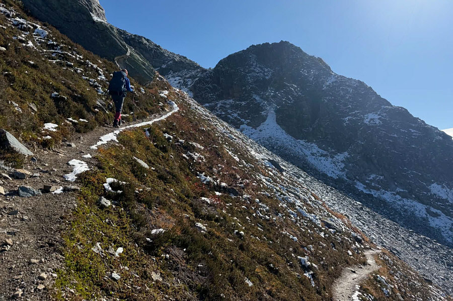
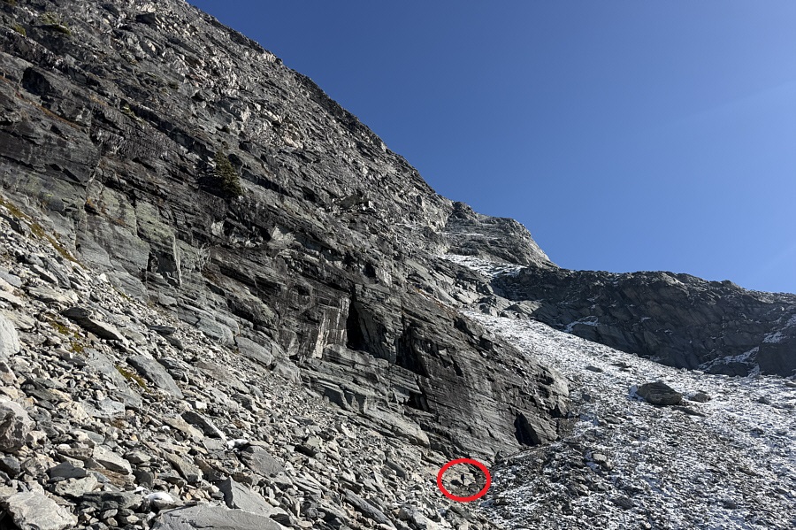
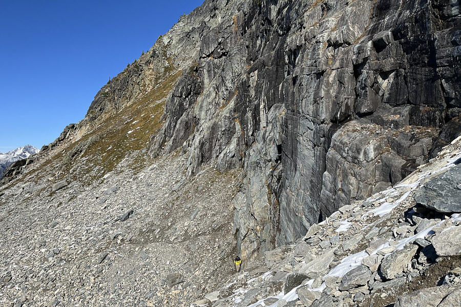
Starting from the parking lot (51.26411, -117.49305) beside Illecillewaet Campground, Zosia and I walked along the main trail going past Wheeler Hut and a couple of signed junctions.  The first half of the trail was quite pleasant to hike as we followed Illecillewaet River upstream through a mix of forested and talus slopes.  After crossing some cascades on good bridges, we began to climb more steeply up a seemingly endless series of switchbacks.  Largely due to fatigue--a carryover from a long hike the previous day--I took a small tumble here and inadvertently twisted my left ankle.  It was not a full sprain, but putting weight on my left foot was painful enough to make me consider pulling the plug on the hike.  However, the thought of wasting all the effort already expended to get where we were was even more painful, and I simply sucked it up and continued hobbling uphill with a heavy assist from my trekking poles.  Unsurprisingly, I slowed down considerably, but Zosia was kind enough to regularly wait for me to catch up to her.  We eventually traversed under some immense cliffs and began encountering snow just before reaching a saddle below a rocky knob.  Zosia donned her ice cleats here, but I managed to do without though I was extra careful with my foot placements.  The trail ends atop the rocky knob which is commonly considered the "summit" of Perley Rock as documented in such websites as peakbagger.com.  According to the Canadian Geographical Names Database however, the official Perley Rock is actually the rock spur on the other side of the saddle and over 400 metres higher--essentially an outlier of Mount Sir Donald.  While we had no intentions of ascending the rock spur, my bum ankle precluded us from wandering further off-trail toward Illecillewaet Glacier.  Instead, we hunkered down to eat lunch a short distance from the top of the rocky knob.

When we finished lunch, Zosia and I simply backed out the same way we came.  We carefully descended the snowy sections without incident and then settled into a lengthy descent down the rest of the trail.  Again, Zosia showed extraordinary patience while waiting for my slow ass to descend the trail, but ultimately, we made it all the way back to the trailhead in one piece.

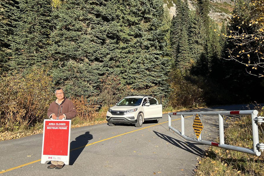
When Zosia and I returned to our car, we were puzzled that there were no other vehicles in the parking lot even though we knew that a few other parties were still behind us on the trail.  As we started driving out though, we were shocked to see that the gate to the parking lot access road had already been closed by Parks Canada staff.  Our initial thoughts were that we were trapped, but upon closer inspection, we realized that the gate had not yet been locked.  We were fortunately able to open the gate and drive out, but I had quite a lot of difficulty closing the gate behind us.  We surmised that the other parties probably arrived after the gate closure and had to start hiking from an alternate parking lot beside the highway.  Thankful for our escape, we turned onto the highway and happily headed home.
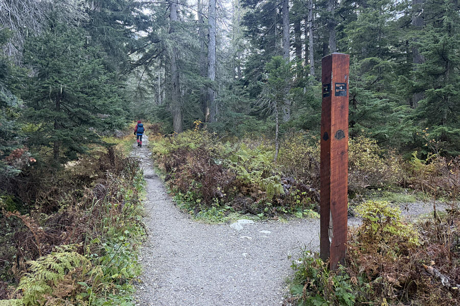
Enjoy the flat walking while it lasts... Zosia passes a signed junction along the trail to Perley Rock.
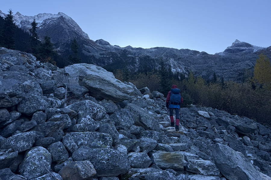
Would be tricky to navigate if snow-covered! Zosia climbs up a talus slope on well-crafted steps.
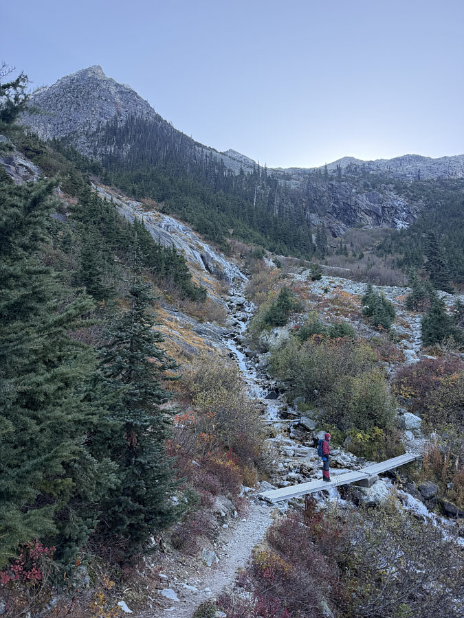
We're lucky Parks Canada didn't take the bridge out on this day! Zosia crosses some cascades on a convenient seasonal bridge.
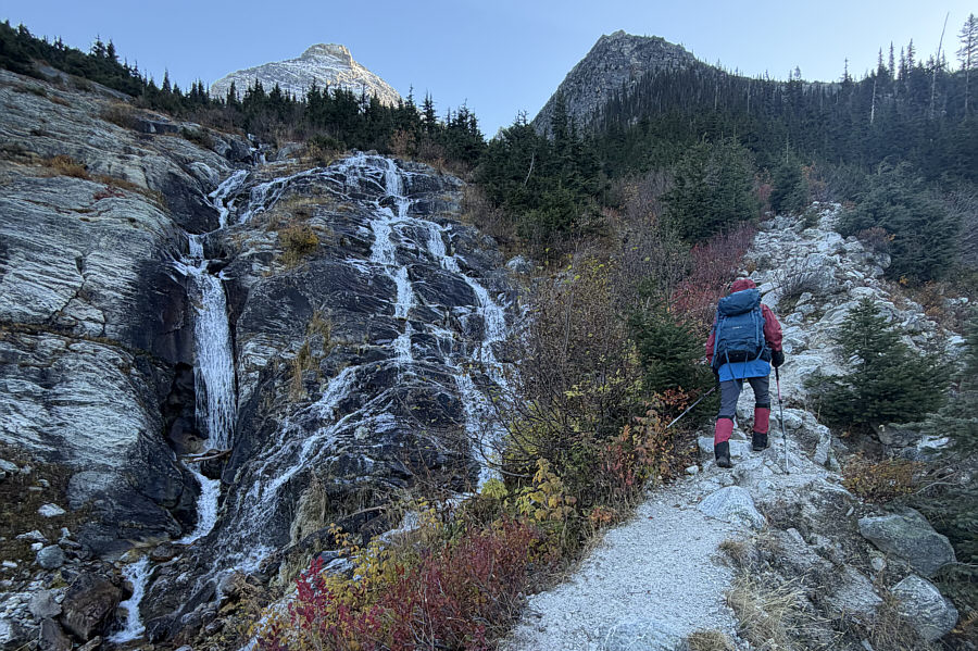
There's still more than 700 metres of elevation gain from here...ugh! The trail begins to steepen alongside this waterfall.
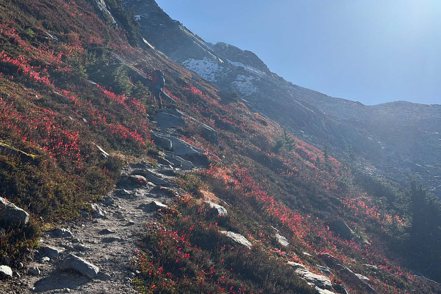
Almost looks like a poppy field! Fall colours are still in abundance as Zosia climbs past the last trees.
The end is in sight...but it's still far away! Zosia climbs up numerous switchbacks along the upper trail which eventually ends on the rocky knob ahead.
You can really feel small under these cliffs! Zosia (circled) traverses under some enormous cliffs.
Watch out for falling rocks here! Sonny traverses under the same cliffs.

Photo courtesy of Zosia Zgolak
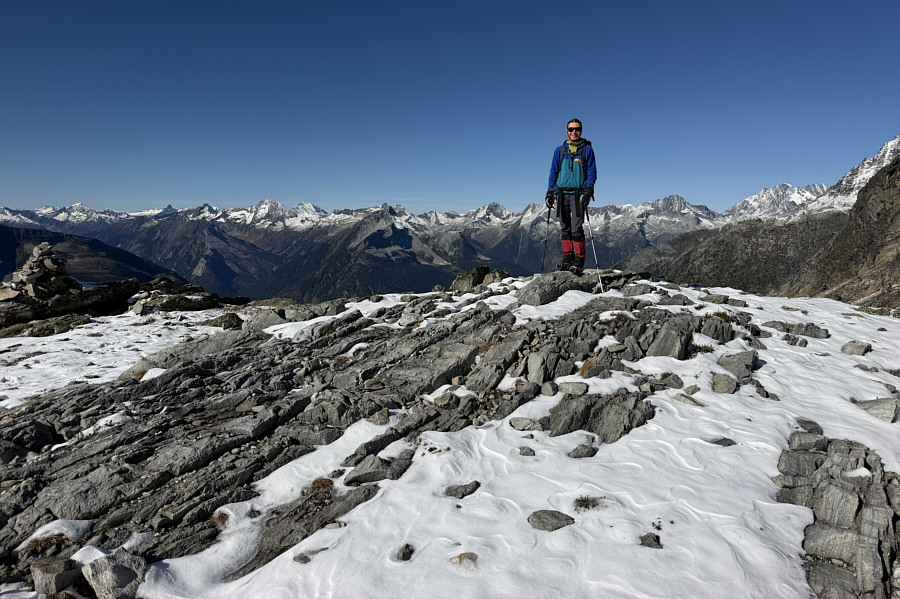
This is commonly but erroneously considered the "summit" of Perley Rock. Zosia stands on the high point (2403 metres) of the hike at trail's end.
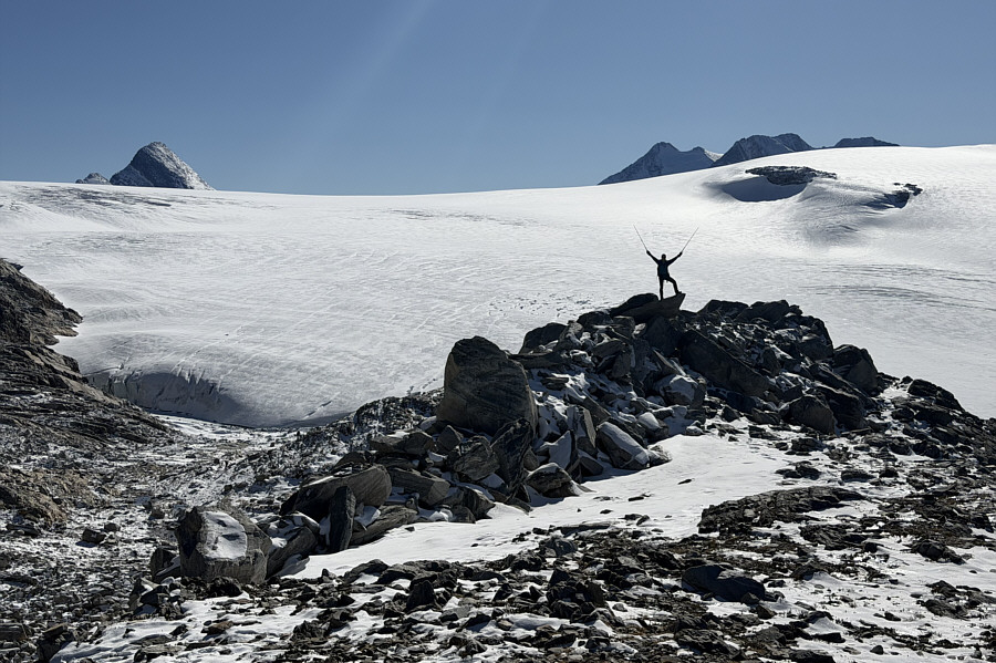
Unfortunately, my bum ankle prevented us from wandering closer to the glacier. Zosia scrambles onto a rock outcrop with Illecillewaet Glacier dominating the background.

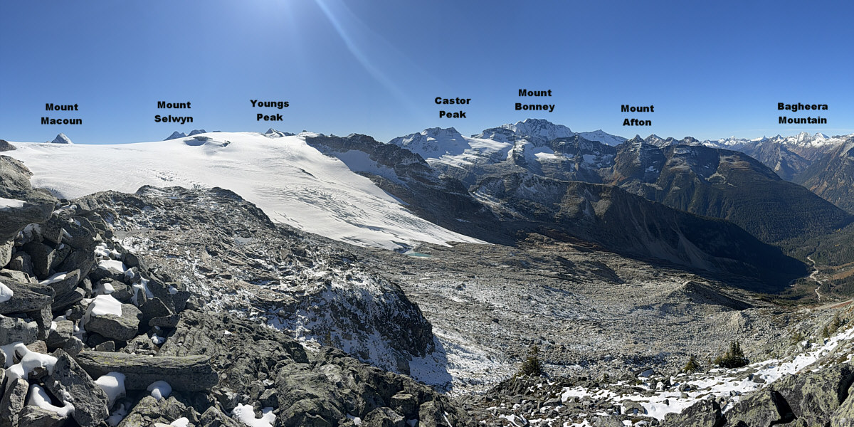
Zosia has already done it, but I still need to hike Glacier Crest someday...

Here is the view to the southwest from near trail's end.


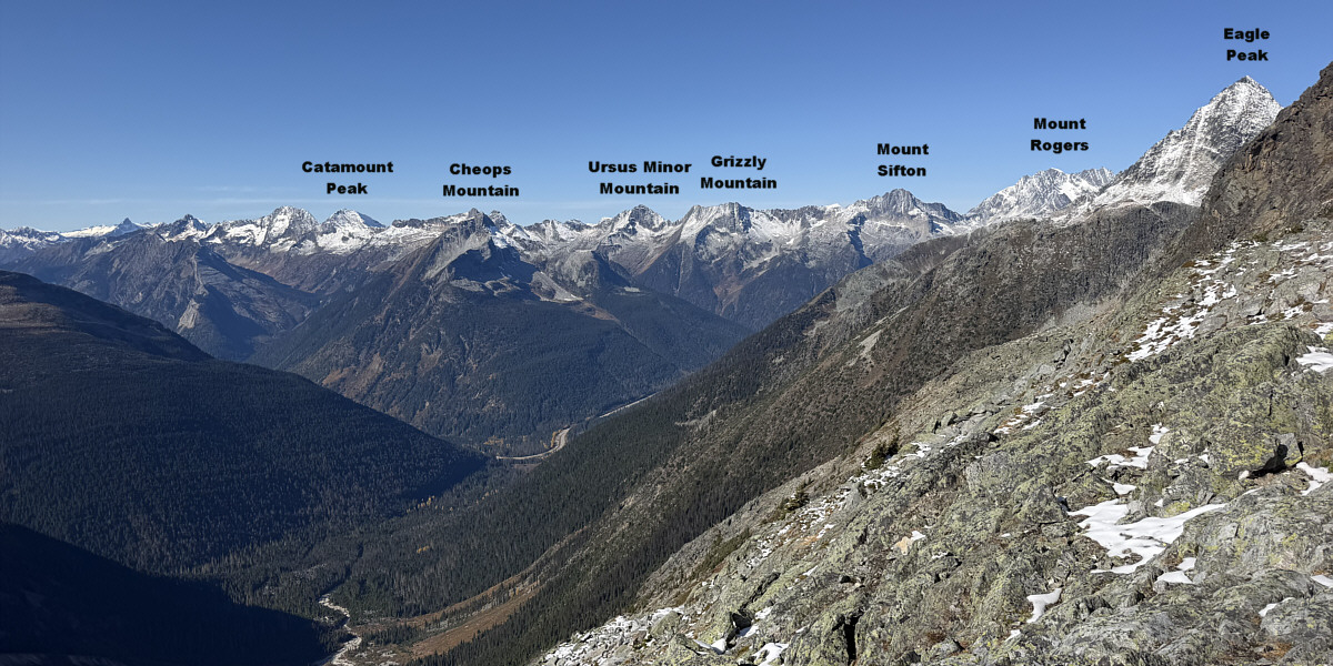
Maybe we'll climb Cheops Mountain next year...

Here is the view to the northwest from near trail's end.


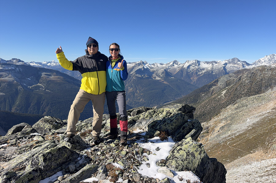
Not looking forward to the long descent... Sonny and Zosia pose for a group shot near the high point before beginning their descent.
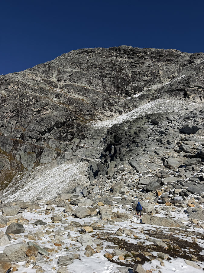
According to the Canadian Geographical Names Database, this is the actual Perley Rock! Zosia makes her way back along the trail below the immense southwest spur of Mount Sir Donald.
Goodbye, Perley Rock! We will likely never hike this trail again. Here is a last look at the rocky knob and Illecillewaet Glacier as Zosia descends the trail.
WTF? As he is trying to drive home, Sonny is surprised that Parks Canada has already shut (but thankfully not yet locked) the gate to the trailhead parking lot.

Photo courtesy of Zosia Zgolak
It's like the Grouse Grind but with more views! Total Distance:  11.6 kilometres
Round-Trip Time:  8 hours 34 minutes
Cumulative Elevation Gain:  1146 metres

GPX Data