|
|
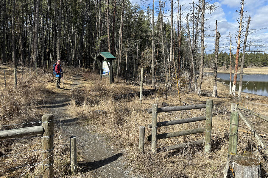
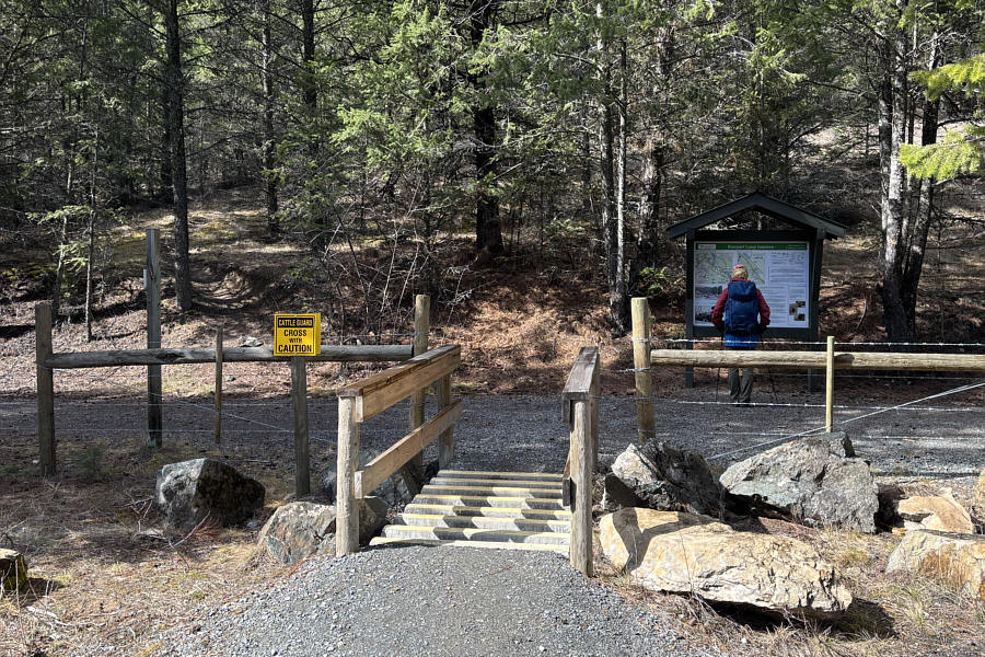
Zosia begins her hike to "Rampart East Bump" from the trailhead at Rampart Rest Area. |
|
|
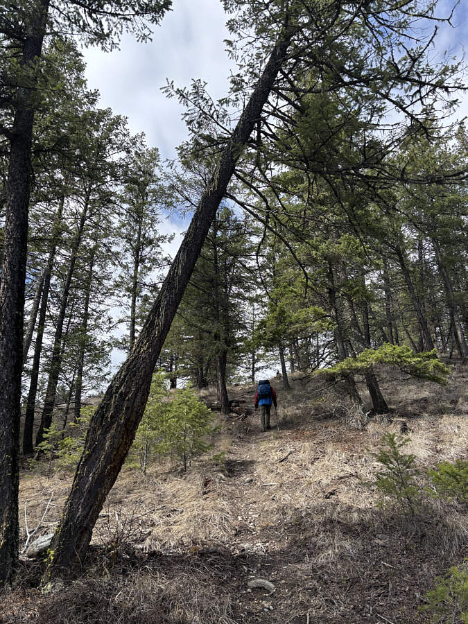
The route crosses Chief Isadore Trail here and into the forest at left. |
|
|
Zosia grinds up the steepest part of the route. |
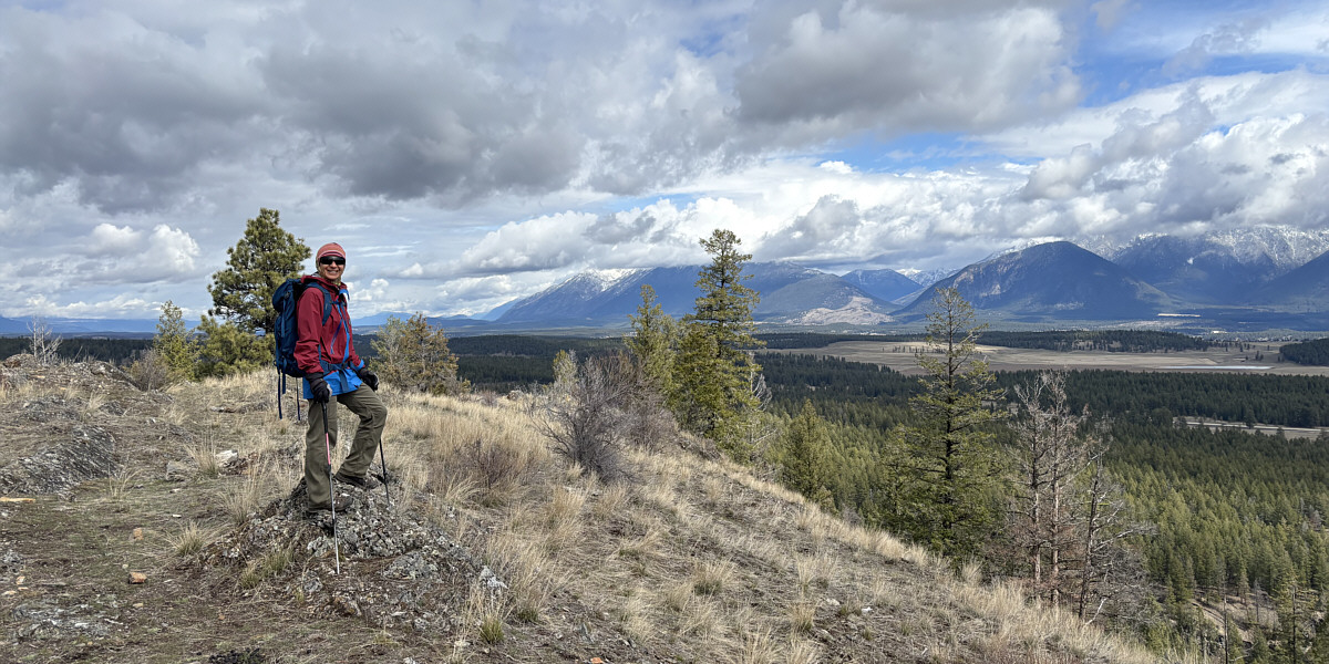
Zosia enjoys some far-reaching views from the top of Rampart East Bump (967 metres).
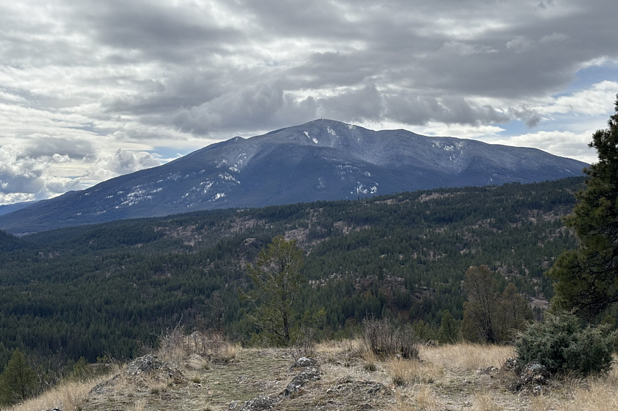 |
Mount Baker dominates the view to the south. |
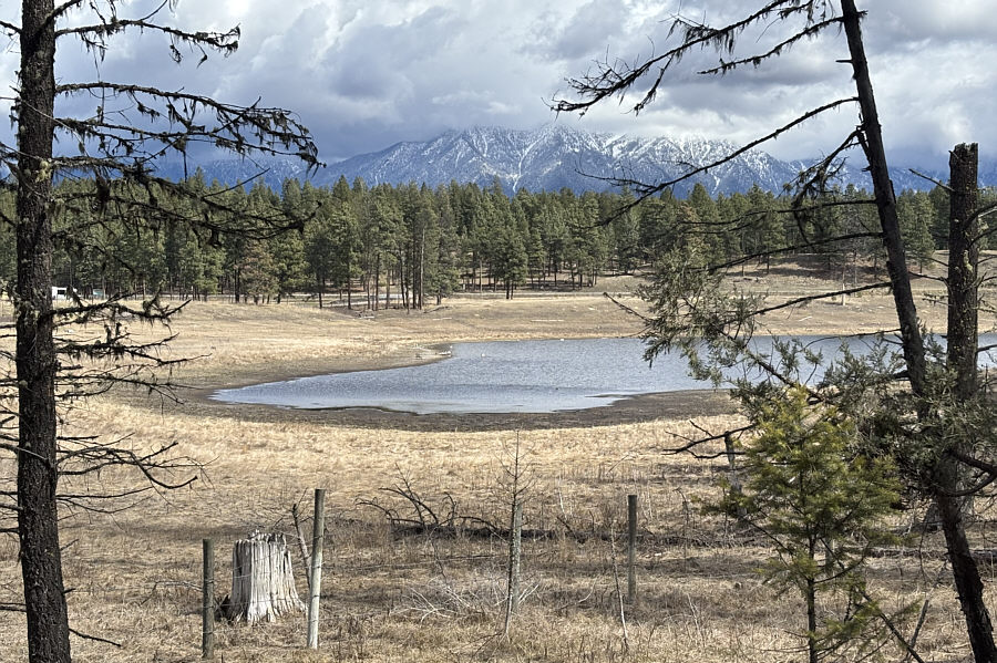 |
Here is a partial view of the pond near the trailhead. |
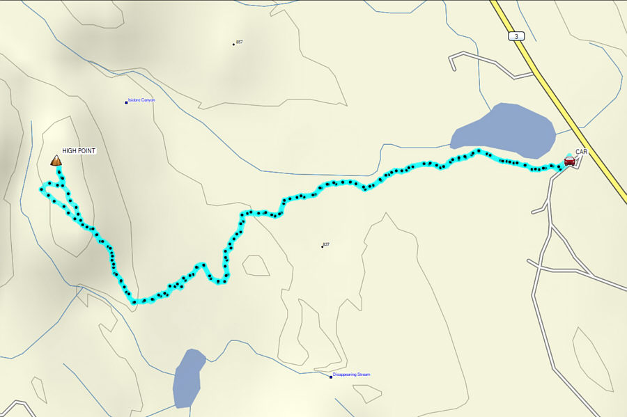 |
Total Distance: 4.3 kilometres Round-Trip Time: 2 hours Cumulative Elevation Gain: 128 metres |
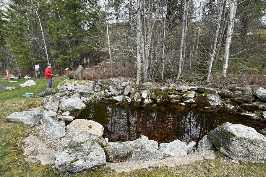 |
The trailhead for Tank Hill includes a
sign carved on a stone monolith and a rockbound pond. Photo courtesy of Zosia Zgolak |
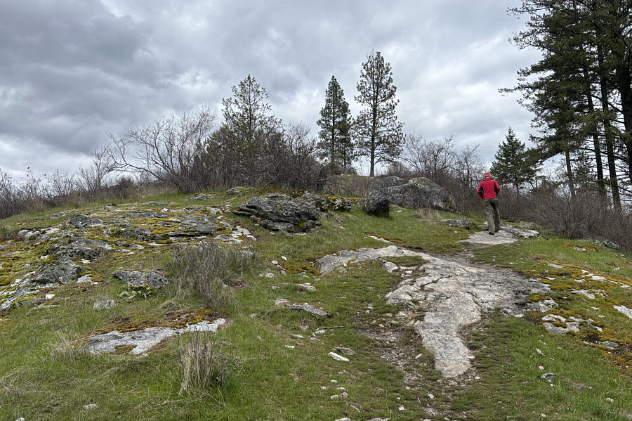 |
Parts of the trail are on bare rock. |
 |
Zosia stands on the high point of Tank Hill (670 metres). |
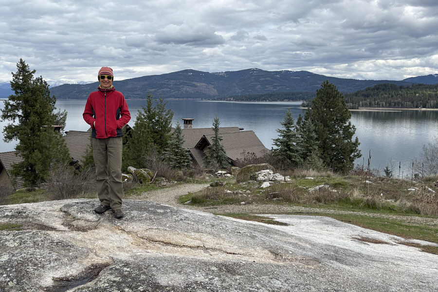 |
Lake Pend Oreille is visible beyond the roof of a private residence. |
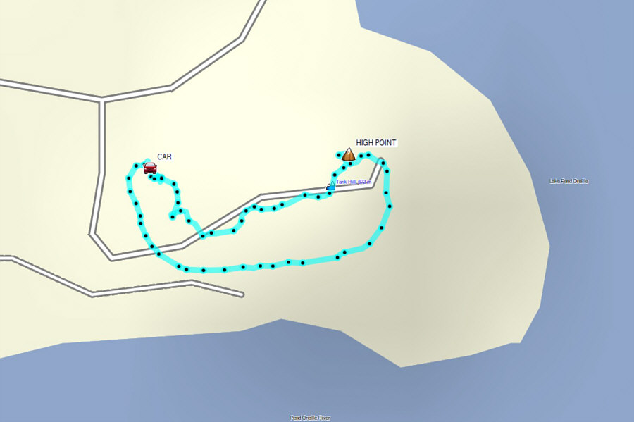 |
Total Distance: 566 metres Round-Trip Time: 24 minutes Cumulative Elevation Gain: 39 metres |