BOU AVENUE
Rogers Benchmark (Rogers Mountain)
On 21 July 2026, Zosia Zgolak and I hiked up to a former fire lookout site atop what is unofficially known as "Rogers Benchmark" or "Rogers Mountain" located about 24 kilometres northeast of Colville, Washington.  The naming is a bit confusing since there is a lower mountain officially named Mount Rogers about 2.5 kilometres to the southwest.  Rogers Benchmark is apparently the more attractive prize for peak-baggers given its higher elevation and more significant prominence (over 3000 feet).  As documented in Eric Willhite's website, a good trail runs all the way to the top and can be accessed via a long but fairly straightforward drive.

From State Highway 20 near Colville Municipal Airport, turn north onto Aladdin Road.  Drive 24.7 kilometres and turn left onto unsigned Kolle Creek Road (2WD gravel but high clearance vehicle recommended).  Drive 5.5 kilometres to a split and keep right (Rocky Creek Branch Road).  Drive another 4.5 kilometres to a bend in the road just before the signed trailhead.  Park here.

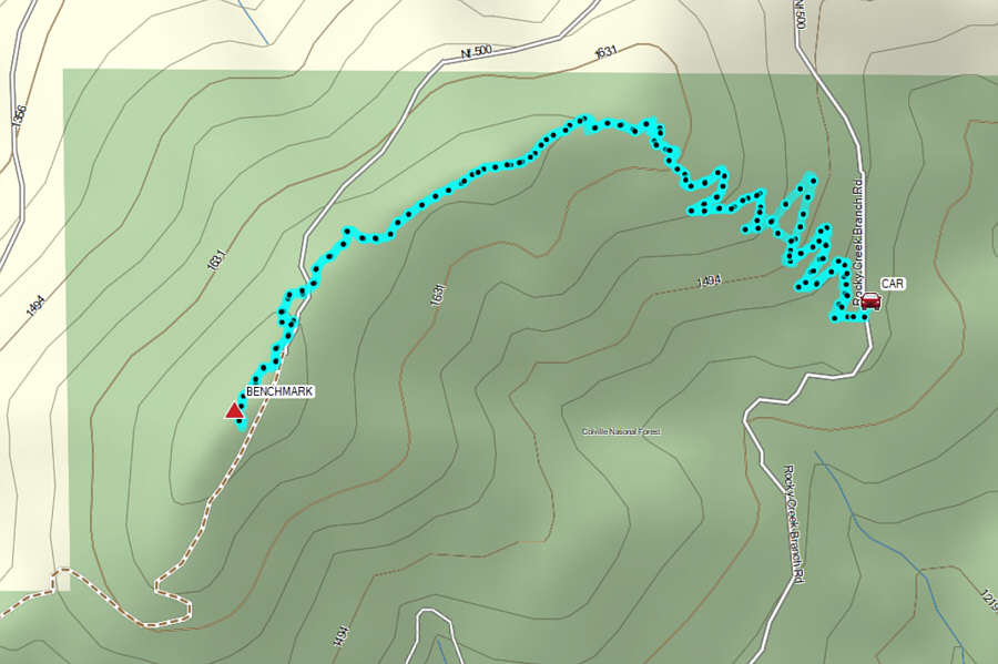
For the first half of the ascent, Zosia and I followed a well-defined trail which climbs up a lightly forested slope via about a dozen switchbacks.  The grade is gentle enough to accommodate mountain bikers, and there are no route-finding difficulties.  The second half of the ascent was mostly a flat walk along a broad summit ridge, and the only challenge was having to detour around the occasional deadfall blocking the trail.  A survey benchmark and the usual detritus associated with former fire lookout sites can be found at the high point, but more disappointingly, far-reaching views were marred by smoky haze from wildfires.

After stopping for a break at the top, Zosia and I simply turned around and retraced our steps along the same trail.  We took a couple of short cuts while descending the switchback section, but otherwise, the return to the trailhead was uneventful.
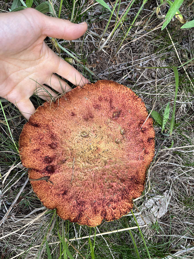
Don't eat! Zosia finds a big mushroom not far from the trailhead.

Photo courtesy of Zosia Zgolak

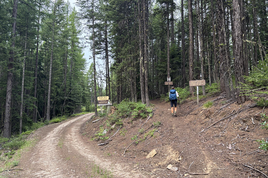
All that's missing here is a convenient toilet! The trailhead is marked with plenty of signs.
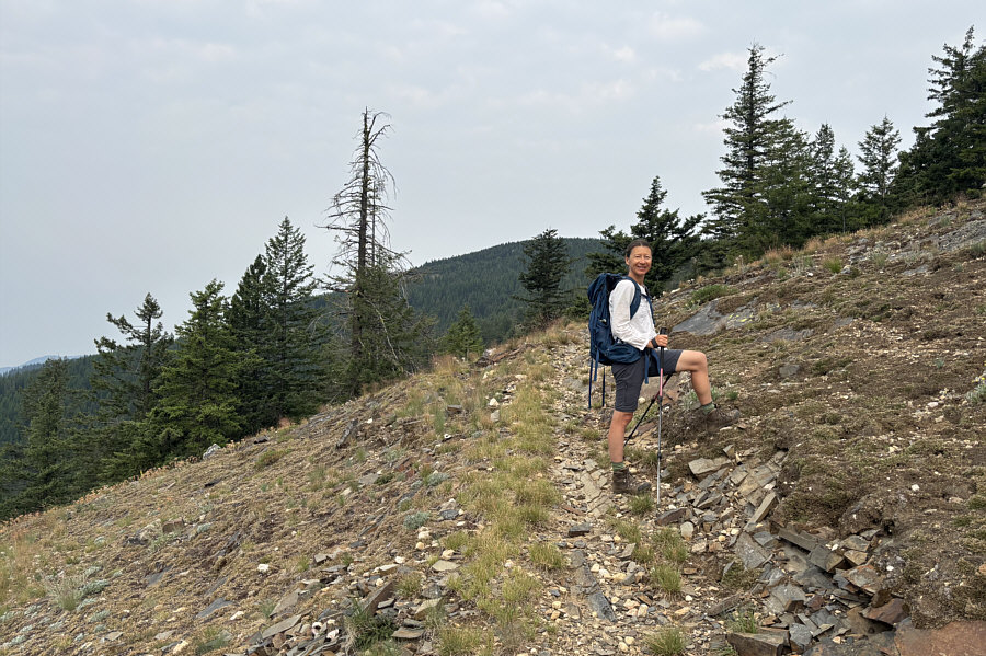
No, she's not taking a short cut here...at least not yet! The hill upon which Rogers Benchmark sits can be seen behind Zosia.
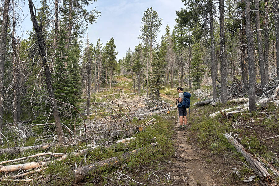
Great for mountain biking! The trail is mostly level for the last half of the ascent.
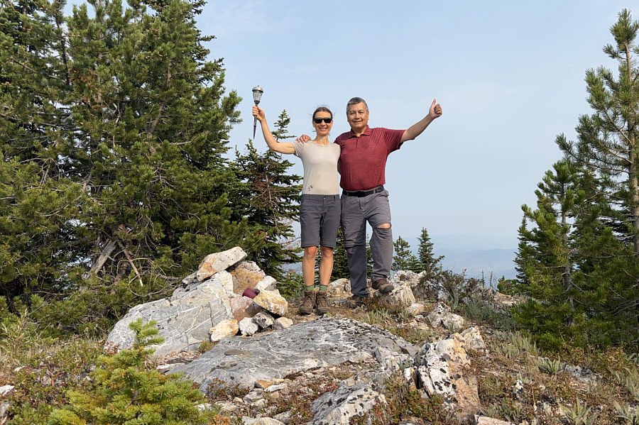
Looks like I'm wearing ripped pants! Zosia and Sonny stand at the location of Rogers Benchmark (1762 metres) which is also the high point of the hill.
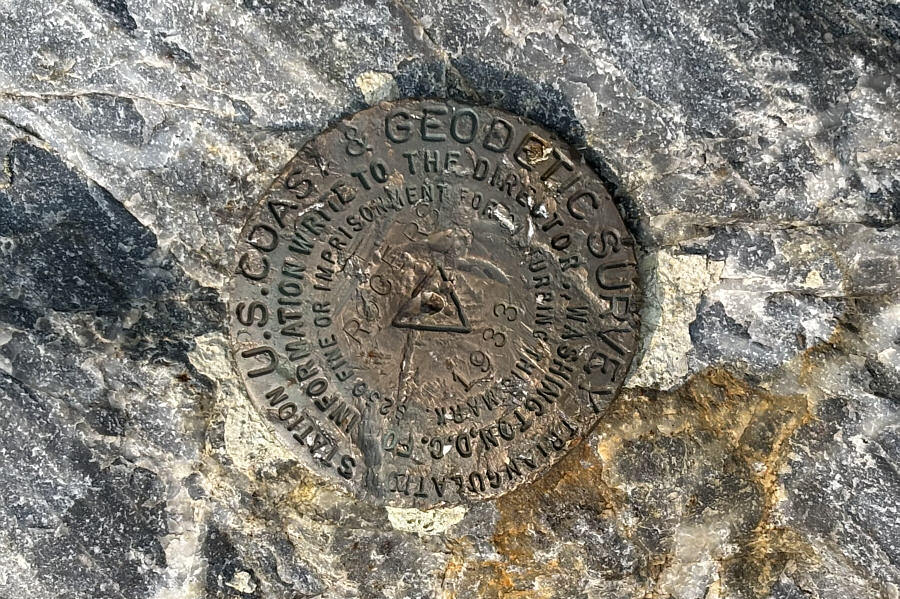
I would be curious to find out if anyone has ever actually been imprisoned for disturbing the benchmark... Here is a closer look at Rogers Benchmark.

Photo courtesy of Zosia Zgolak

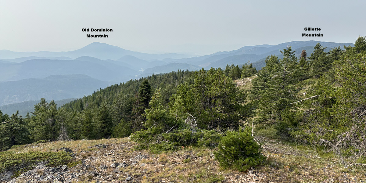
We'll hike Old Dominion Mountain next time we come back this way.

Some mountains are still visible to the south despite the smoky haze.
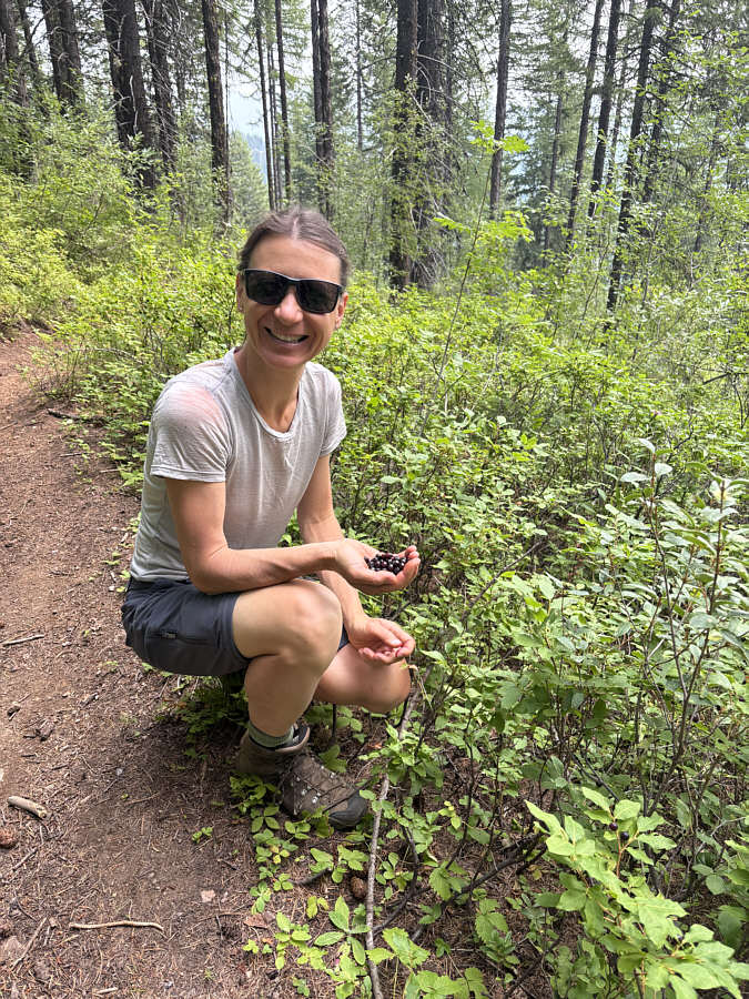
 

Do eat! Zosia is happy to find some ripe huckleberries along the trail.
Easy ascent with probably better views than we were granted on this day. Total Distance:  8.1 kilometres
Round-Trip Time:  4 hours 25 minutes
Cumulative Elevation Gain:  337 metres

GPX Data