BOU AVENUE
Roman Nose
Kicking off another extended road trip on 18
July 2026, Zosia Zgolak and I climbed officially-named Roman Nose in the
Selkirk Mountains west of Bonners Ferry, Idaho. The top of the peak
was once occupied by a fire lookout which could be accessed by a road
along the south ridge, but nowadays, Roman Nose is more commonly ascended
from its namesake lakes to the north. Eric Willhite has an
excellent
trip report
documenting an ascent route via the north ridge which utilizes good
trails but also entails some bushwhacking and off-trail travel. The three
Roman Nose Lakes are very popular and can be reached by a long but
well-maintained forestry road coming from the northeast. Unfortunately, I
made a huge navigational blunder relying on my phone’s map application
which erroneously directed me to take an ill-conceived short cut (Ruby
Creek Road) on our drive to the trailhead. When the short cut became too
rough for my Honda CR-V, I had to park well short of the trailhead. Worse, I did not realize my mistake until we intersected the proper
access road about forty minutes later into our hike, and by then, it was not
worth returning to my car to start over. As a consequence, this added
significant extra distance and time to our overall trip. In the
next paragraph, I have endeavoured to provide
the proper driving directions to the trailhead, but
admittedly, I can only verify the final section of road from Ruby Pass onward.
Near the south end of Bonners Ferry, turn
west onto Deep Creek Loop from US Highway 95/2 (Main Street). Drive
4.7 kilometres and turn right onto Lions Den Road. Drive 2.4
kilometres and cross train tracks. Continue for 950 metres and
cross a bridge over Snow Creek. Just past the bridge, keep left at
a split onto Forestry Road (FR) 402 (Snow Creek Road; 2WD gravel).
Ignore all side roads and drive 15.0 kilometres to a signed pullout where
the main road continues as FR 1007. Again, ignore all side roads
and drive 11.9 kilometres to Ruby Pass where the road splits into FR 632
(Ruby Creek Road) and FR 294 (Fall Creek Road). Turn right onto FR
294 and drive 800 metres to another split. Keep right onto FR 2667
(Roman Nose Lake Road), and drive 2.1 kilometres to a junction with a
campground access road on the left. Continue straight for another
400 metres to the parking lot for Roman Nose Lakes trailhead (vault
toilet available).
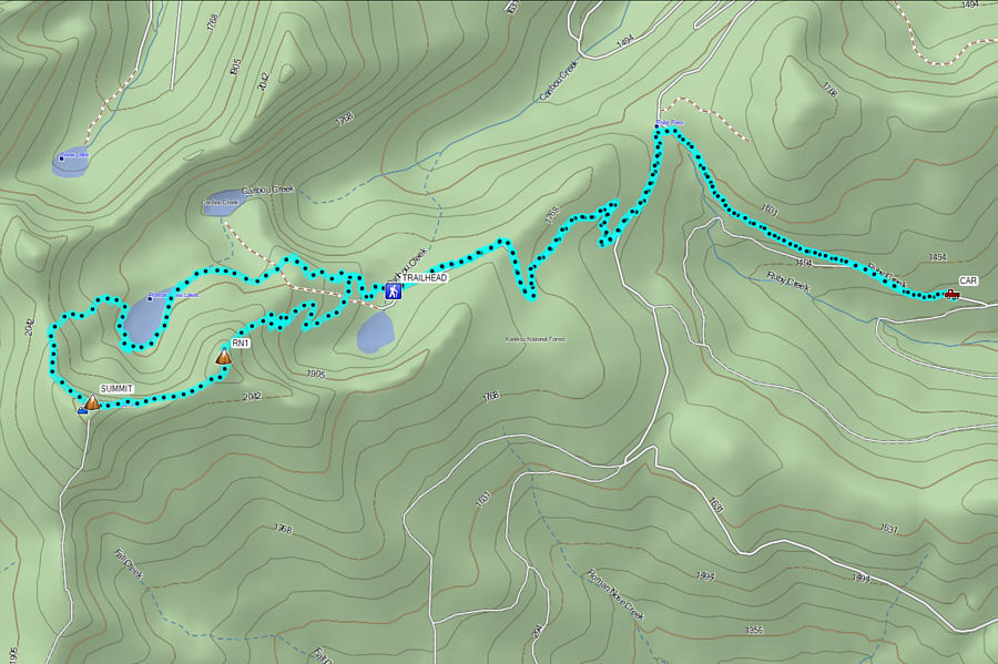
From where we parked, Zosia and I continued
on foot along Ruby Creek Road which actually improved after we passed the
initial severely rutted section that prevented me from driving further. At Ruby Pass, we intersected the proper access road (a lot of cursing
ensued on my part) where we turned left and trudged the remaining
distance to the trailhead. Walking the extra 5.6 kilometres (with
380
metres elevation gain) to the trailhead took us an hour and thirty-two minutes. From
there, we followed a signed and well-maintained trail leading to the
uppermost of the three Roman Nose Lakes. A good trail continues partway
around the south end of the upper lake but eventually peters out. We
initially began climbing at trail’s end in hopes of gaining Roman Nose’s
north ridge, but we soon ran into steep cliffs that were too technical
for our liking. We promptly backed down and continued circling the
lakeshore with some difficulty. We eventually spotted what appeared to be
a beaten path heading away from the lake, and even though it also soon
petered out, we were able to push through some moderate bush before
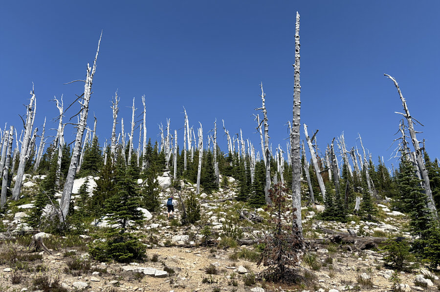
finally reaching a large talus slope. We easily climbed up the talus
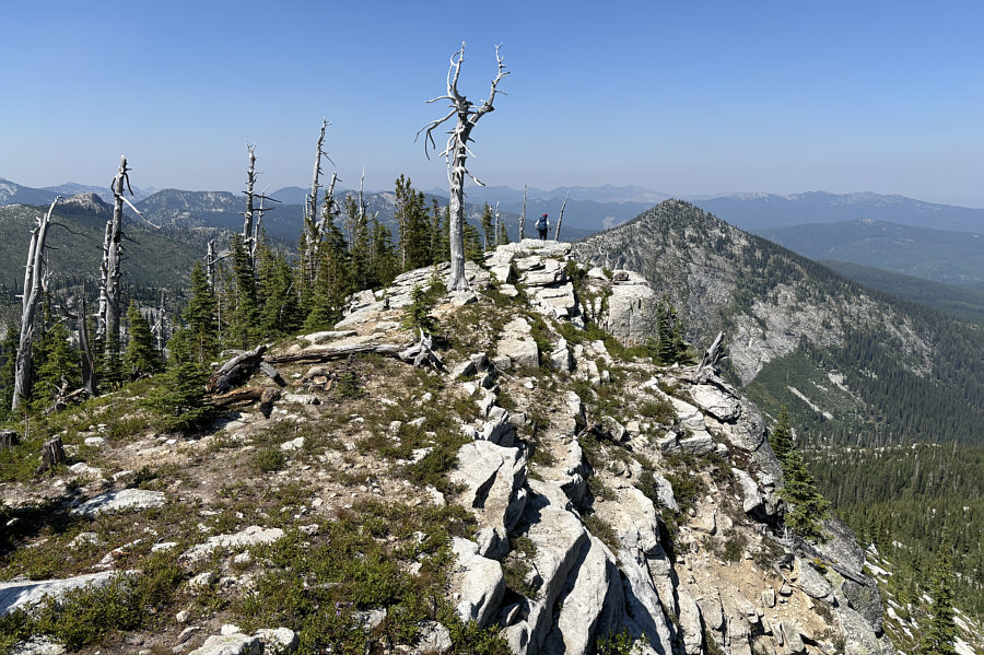
slope and gained the crest of Roman Nose's north ridge without further
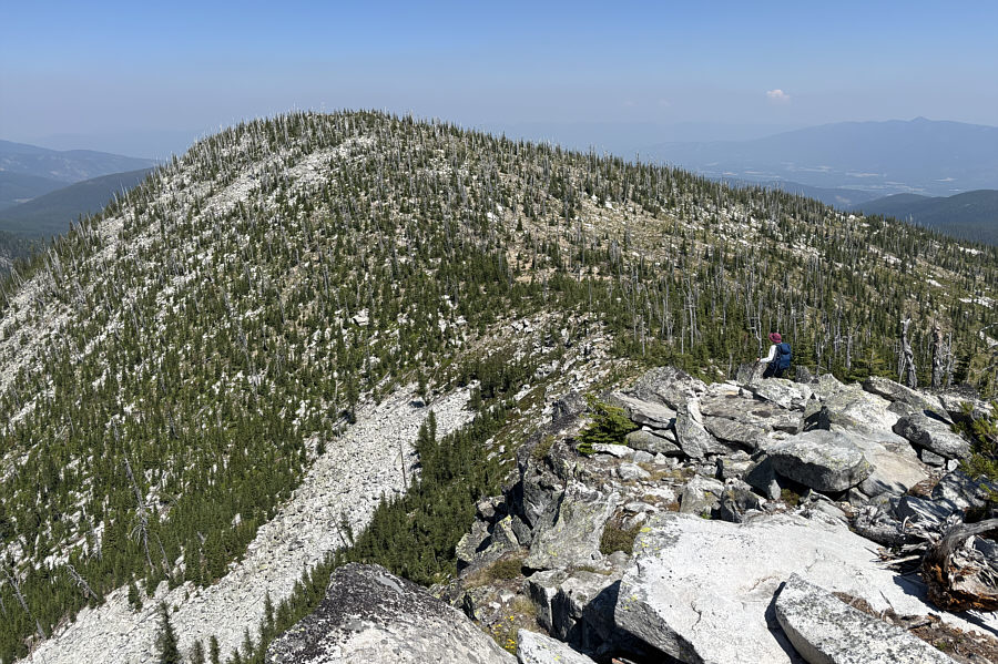
grief. The north ridge presents no difficulties, and the remainder of our
ascent was straightforward.
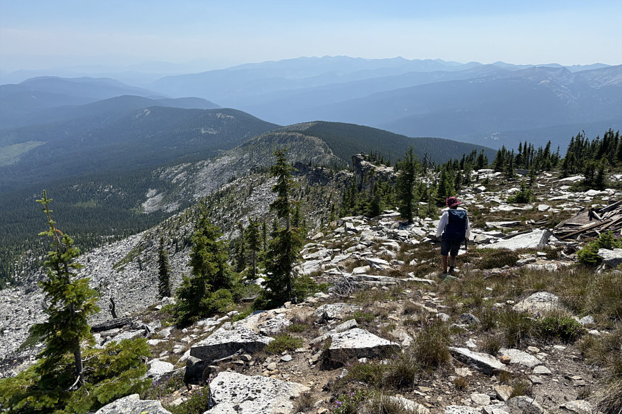
Willhite mentioned in his report that others
had ascended via the east ridge, and Zosia and I figured that we could
complete a traverse and descend this way which would save us some
distance and also spare us from having to bushwhack back to the upper
lake. The east ridge is steeper than the north ridge, but with a bit of
route-finding, we made it down safely to a dip separating Roman Nose from
its eastern outlier. After climbing over the top of the outlier, we
dropped down its very steep northeastern slopes. Descending here was not
as easy as it initially appeared as we had to contend with occasional
steep drop-offs and surprisingly bushy terrain. Nevertheless, we managed
to muddle our way down and connect with one of the trails coming from the
lakes, and the remaining walk back to the trailhead was stress-free. The
final long walk back to our parked car was uneventful (took us an hour
and twenty-four minutes) though we
probably garnered a few curious looks—and one facetious remark—from the
numerous cars that passed us on the road above Ruby Pass.
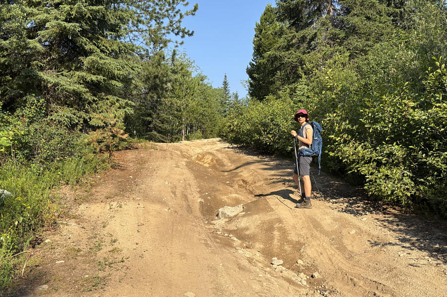 |
Ruby Creek Road is heavily rutted in
places and is not the recommended access route for Roman Nose Lakes
trailhead. |
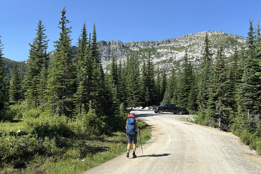 |
After about 90 minutes of walking on dirt and gravel roads, Zosia finally
arrives at the trailhead. |
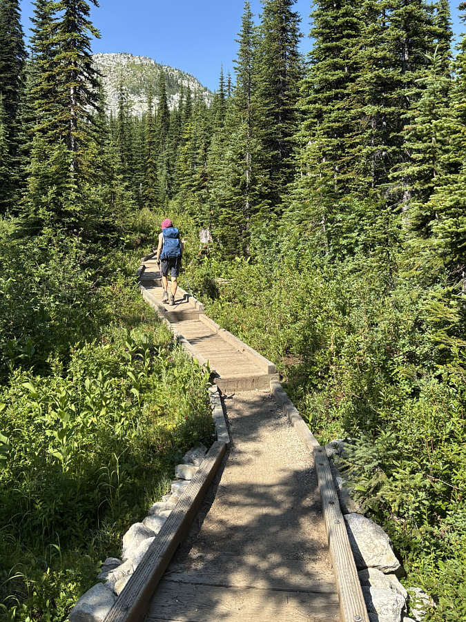 |
Zosia follows a well-crafted boardwalk
leading to the two upper Roman Nose Lakes. |
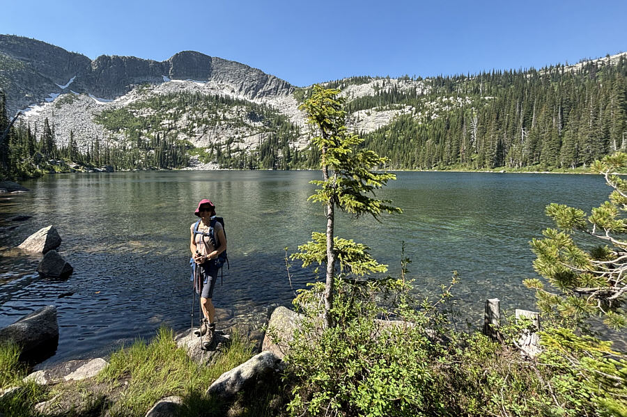 |
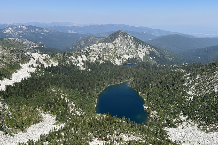
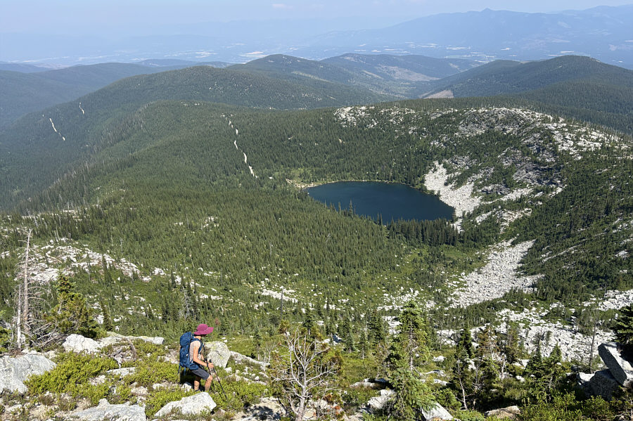
Zosia arrives at the uppermost of the
three Roman Nose Lakes. Directly behind her is the peak known
as Roman Nose. |
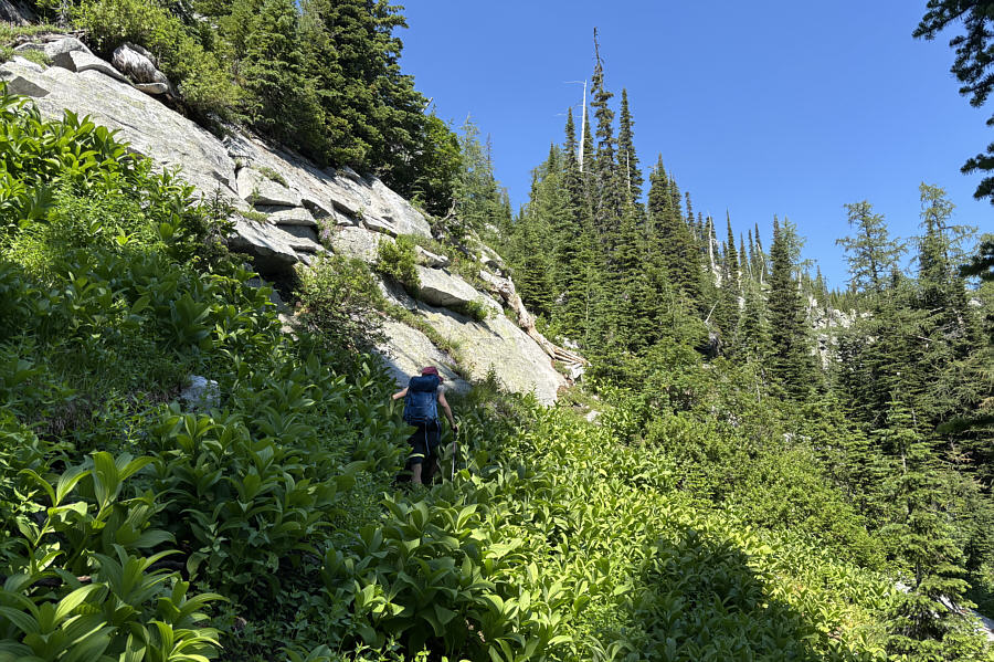 |
Zosia runs into some steep cliffs
after ascending prematurely from the upper lake. |
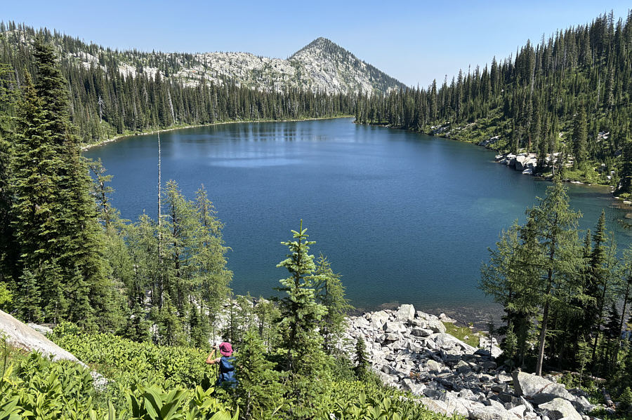 |
Zosia retreats back to the shore of
the upper lake. |
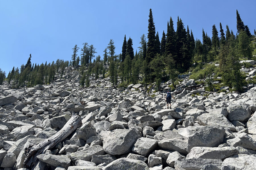 |
Zosia finds a more reasonable route to
the ridge crest via this talus slope. |
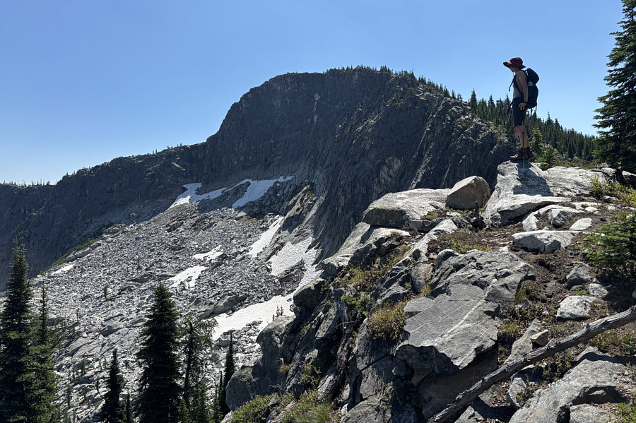 |
Zosia gains the crest of Roman Nose's
north ridge. |
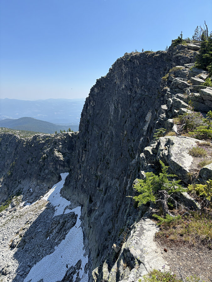 |
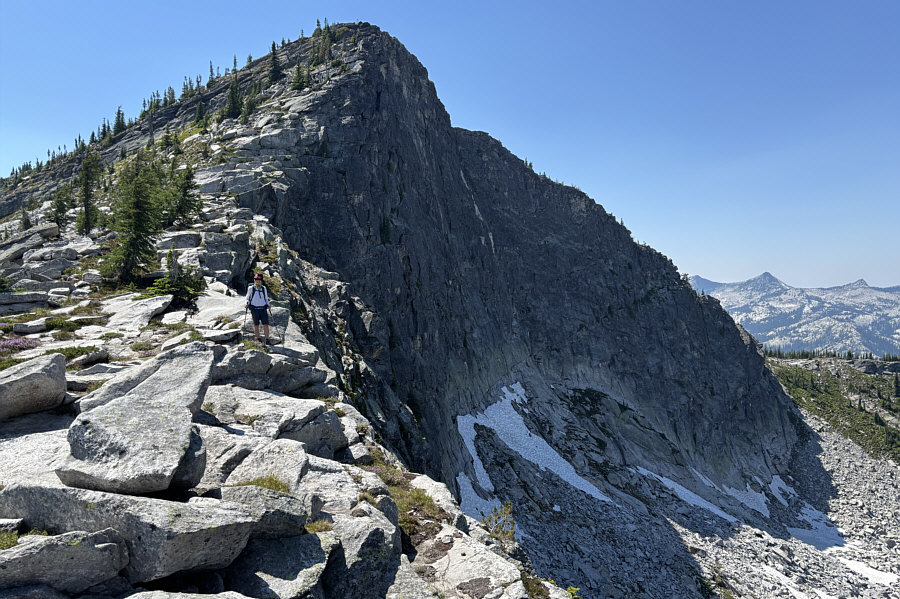
Zosia stands above the impressive
north face of Roman Nose. |
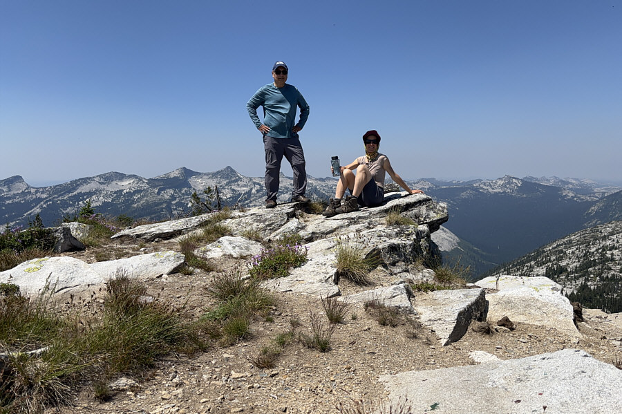 |
Sonny and Zosia relax on the summit of
Roman Nose (2220 metres). |
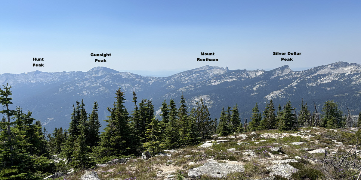
Here is a panoramic view to the west from the top of
Roman Nose. To the right of Mount Roothaan is striking Chimney
Rock.