BOU AVENUE
Saskatchewan High Point
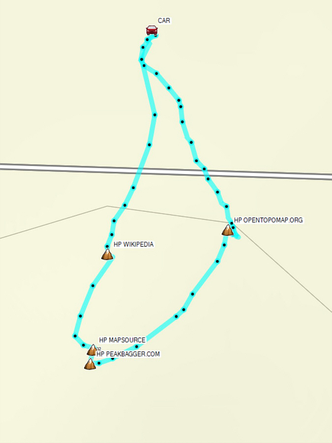
Kicking off an extended long weekend on 11 November 2026, Zosia Zgolak and I drove into Saskatchewan to tag the province's highest point located just east of the provincial boundary with Alberta on a plateau atop Cypress Hills.  Because the high point is unmarked and situated in a flat grassy field, its precise location is rather nebulous.  Before traveling there, I had marked in my GPS application four separate high point locations based on geographical coordinates from the following sources:  Wikipedia, Garmin MapSource, peakbagger.com, and OpenTopoMap.org.  It would be simple enough to tag all four locations on the same visit.

From Highway 41 (Buffalo Trail), turn east onto Township Road (TWP RD) 74, 44.6 kilometres south of the junction with Trans-Canada Highway or 69.0 kilometres north of the Canada-US border.  Drive 2.2 kilometres and keep straight at the junction with Range Road (RGE RD) 24.  Drive 2.6 kilometres and keep straight (east) at the junction with RGE RD 23.  Drive 4.9 kilometres to where the road bends south (RGE RD 20).  Drive 800 metres and turn east (TWP RD 74).  Drive 6.5 kilometres to where the road bends south again (RGE RD 12).  Drive 1.6 kilometres and turn east again (TWP RD 73).  Drive 3.3 kilometres to where the road bends south for a third time exactly on the Alberta-Saskatchewan border (RGE RD 3304).  Drive southward for 1.7 kilometres to where the road bends eastward again.  Continue driving east for about 900 metres and park on the side of the road (49.55274, -109.98697).  All township and range roads have a gravel surface and should be suitable for 2WD vehicles in dry conditions.

From our parking spot, Zosia and I rolled under a barbed wire fence on the south side of the road.  The grassy field behind the fence is apparently private land, but there are no "No Trespassing" signs posted anywhere in the vicinity.  With the help of my phone's GPS, we then proceeded to tag all the candidate waypoints I had marked, and as it turned out, they were all virtually the same height with only the OpenTopoMap.org waypoint being marginally lower by one pile of cow dung.  After doing a small loop and snapping our requisite photos, we crawled back under the fence and subsequently drove back to Highway 41 in Alberta.  We eventually ended up in Havre, Montana later in the morning and made a point of stopping and observing a minute of silence to commemorate Remembrance Day.
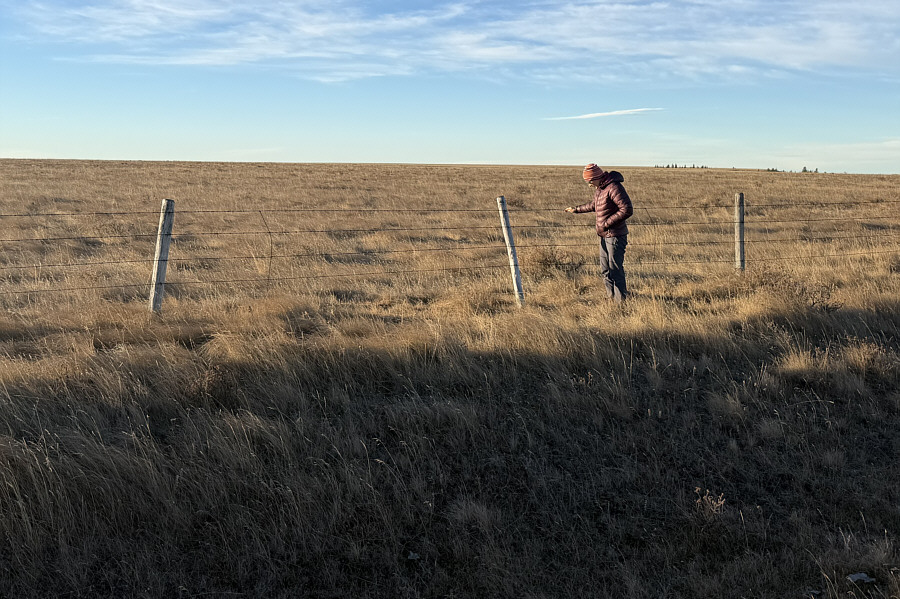
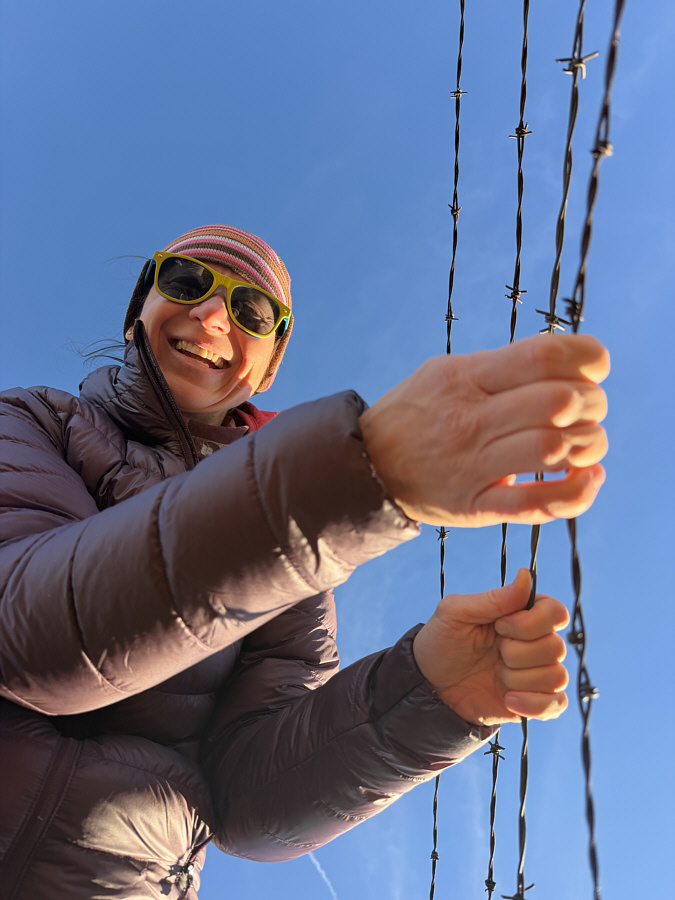
Stop, drop and roll! Zosia tries to figure out how to get past a barbed wire fence behind which lies the highest point of Saskatchewan.
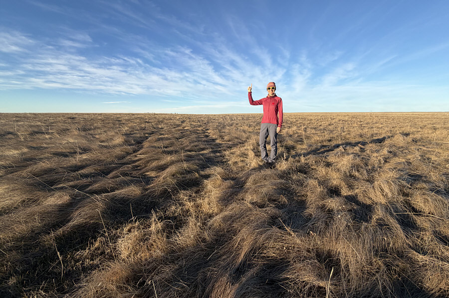
One tussock looks as high as the next! Zosia stands on the highest point of Saskatchewan according to Wikipedia (1389 metres).
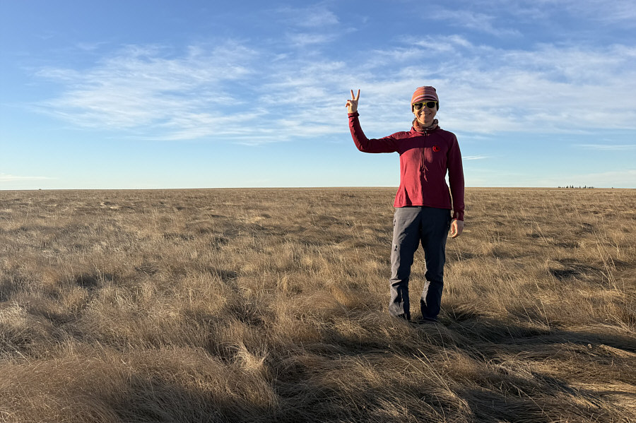
I believe this is most likely the true highest point. Zosia stands on the highest point of Saskatchewan according to Garmin MapSource (1389 metres).
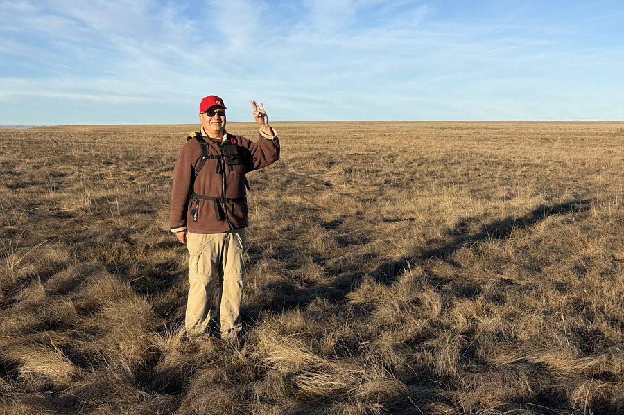
Located only a few metres from the MapSource high point.  Sonny stands on the highest point of Saskatchewan according to peakbagger.com (1389 metres).
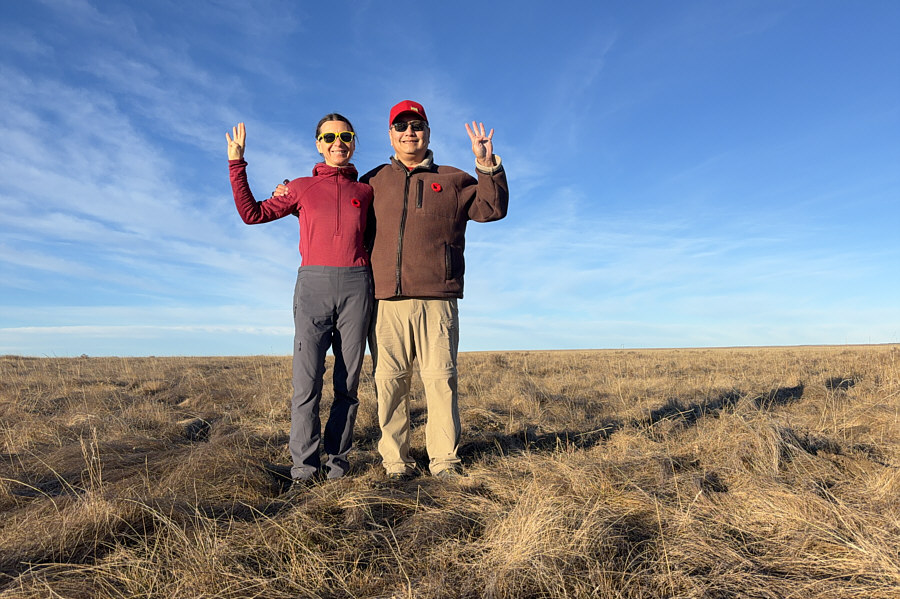
Someone should erect a big sign somewhere here so we can dispense with these shenanigans! Zosia and Sonny stand on the highest point of Saskatchewan according to OpenTopoMap.org (1388 metres).
Dziękuję bardzo! Zosia lifts the barbed wire to allow Sonny to roll back under the fence.
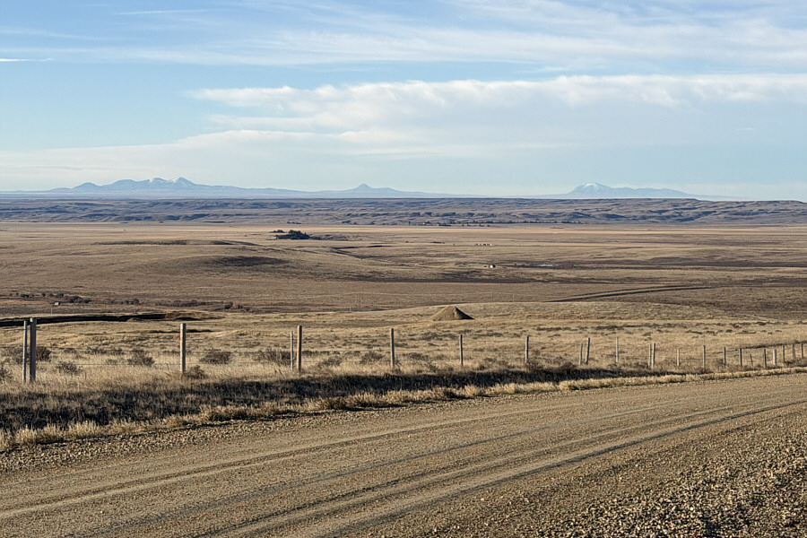
Lotsa memorable trips there! Montana's Sweet Grass Hills--East Butte, Gold Butte and West Butte--are prominently visible on the southwest horizon during the drive out.
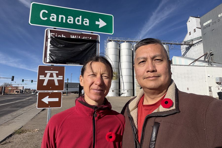
We willl remember them. To commemorate Remembrance Day, Zosia and Sonny observe a minute of silence at 11:00 AM (MST) in Havre, Montana.
Long drive and no definitive marker--worst high point ever? Total Distance:  468 metres
Round-Trip Time:  22 minutes
Cumulative Elevation Gain:  <1 metre

GPX Data