From US Highway 2, turn east onto Wenatchee River Bridge (Main Street) 4.8 kilometres southeast of the intersection with Riverbend Drive in Leavenworth or 1.4 kilometres northwest of the intersection with US Highway 97. Cross Wenatchee River and follow Main Street for 550 metres before going under a railroad bridge. Immediately past the railroad bridge, veer left and continue on Main Street--eventually becoming North Road--for another 1.4 kilometres before turning right onto Anderson Canyon Road. Drive for 1.0 kilometre to the trailhead for Sauer's Mountain. Parking is allowed on both sides of the road here, but care should be taken to heed all signs and not block any nearby private driveways.
After reading a plethora of regulations
posted at the trailhead, Zosia and I began climbing up the winding trail
which passes some interesting artwork en route to the National Forest
boundary. The trail splits about half a kilometre from the start,
and although both trails are viable, we opted to take the left-hand fork
which is slightly longer but gains the ridge crest earlier. The
hike along the ridge crest was very pleasant, and although views were
somewhat limited, the abundance of wildflowers and occasional wildlife
kept things from becoming dull. Roughly around the 5-kilometre
mark, the trail crosses a forestry road and climbs up a short but eroded
embankment on the far side. This was the only spot during the
entire trip where the footing was suspect, and we had to be extra
cautious going up and coming down here. A sign and register
container marks the "summit" of Sauer's Mountain at a scenic viewpoint,
and while most people stop here, there is a slightly higher point only a
short distance further up the ridge. The actual highest point of
the ridge, identified as "Peak 3180" on
peakbagger.com, is another half
kilometre or so beyond, but we did not feel compelled to extend our hike
there. Instead, we tagged the first high point and returned to the
sign for a leisurely break. Photo
courtesy of Zosia Zgolak
A sign and summit register for Sauer's Mountain can be
found at this viewpoint.
For our descent, Zosia and I retraced our steps most of the way back down
the ridge, but instead of descending the same way we came up, we took the
right-hand fork that we skipped at the start of the trip. This trail
drops well below the ridge crest and plunges steeply before reaching the
aforementioned split. We had no issues descending the right-hand fork,
but I was thankful that we did not climb up the ridge this way. A final
short descent through the easement concluded a most enjoyable hike.

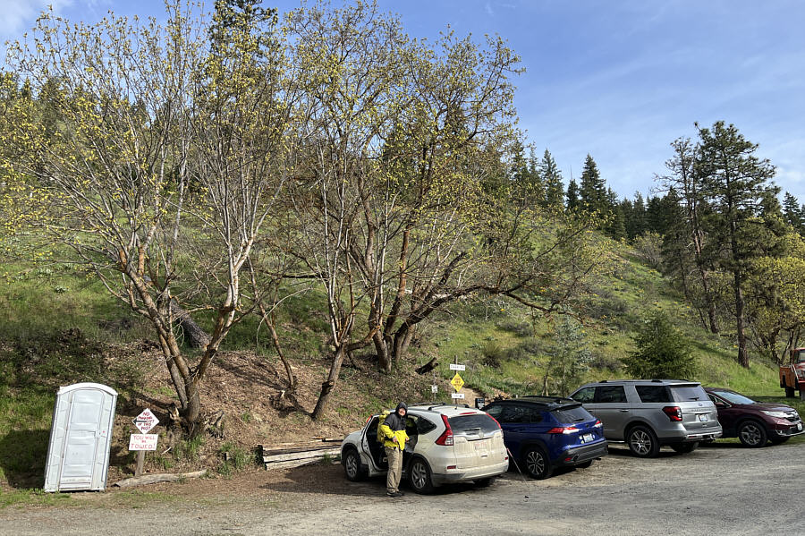
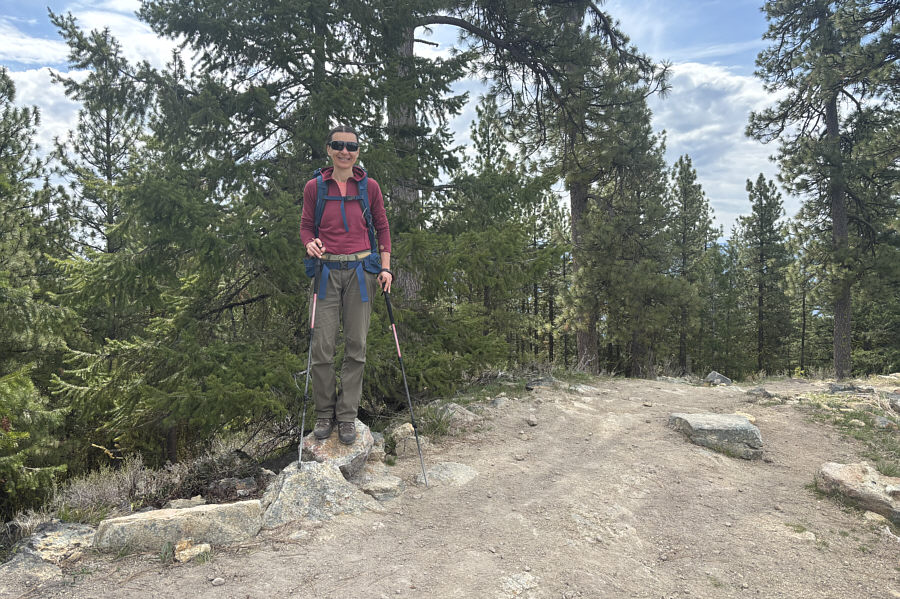
Sonny gets ready at the
trailhead for Sauer's Mountain.

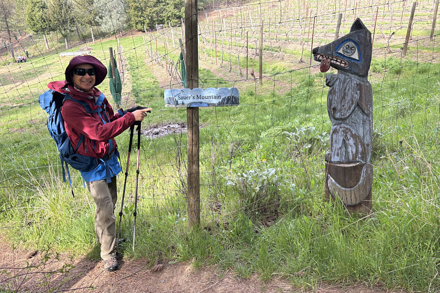
The easement through private property is well-decorated with artwork.

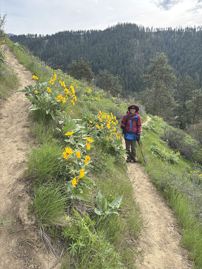
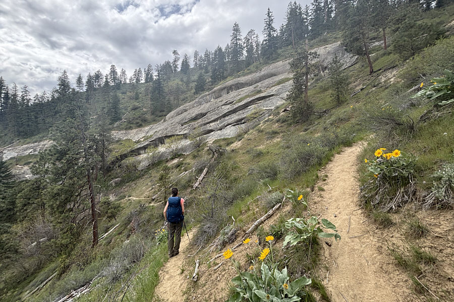
Balsamroots are in abundance all along
the trail going up the ridge.

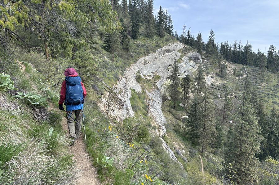
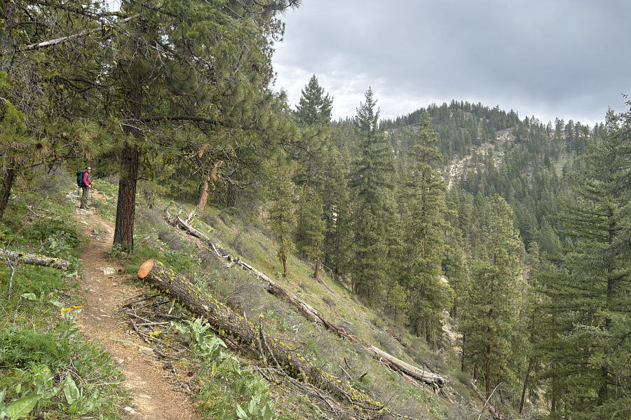
The trail climbs above some dramatic
cliffs.

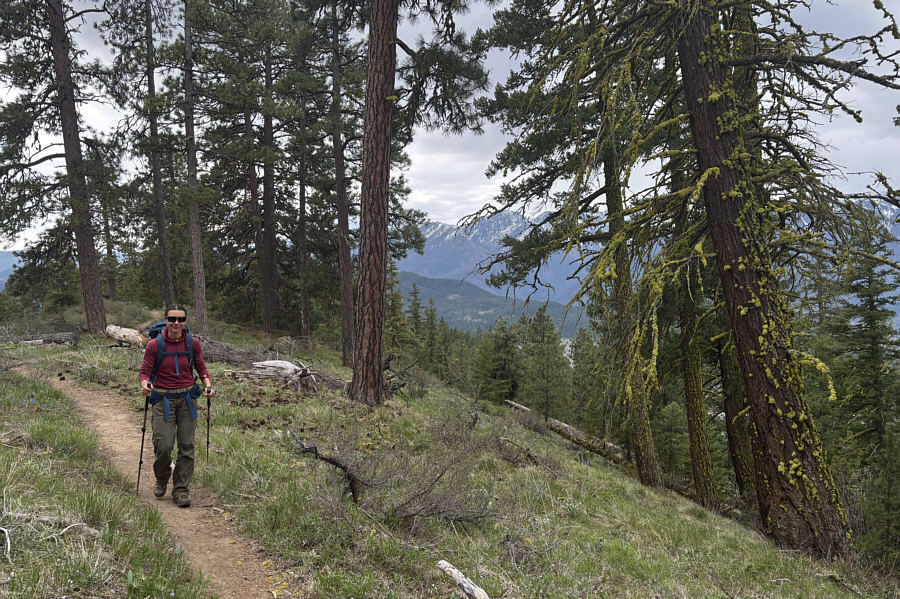
Most of the ascent is a pleasant ridge
walk.

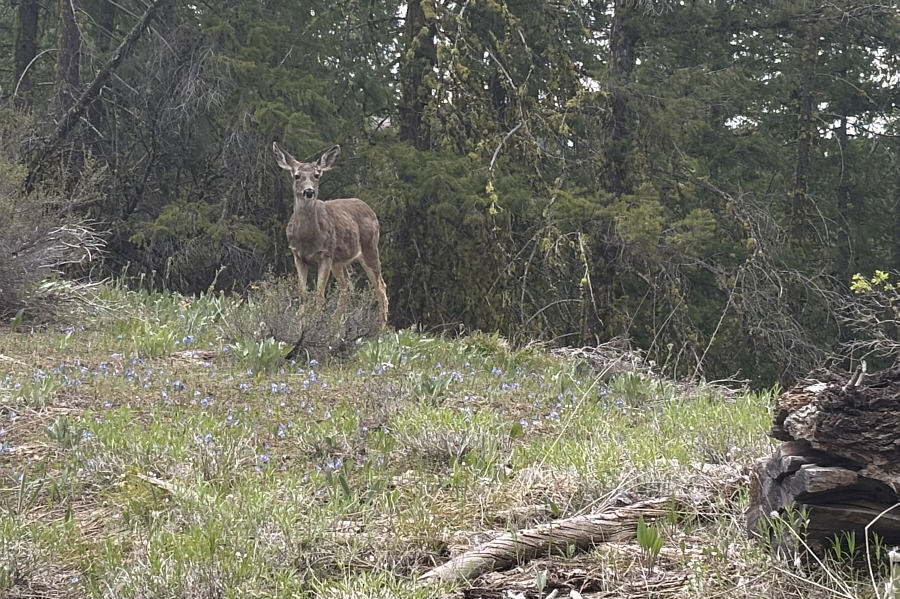
A mule deer seems genuinely curious
about the hikers passing through its grazing spot.

The top of Sauer's Mountain is visible
in the distance as Zosia makes her way further up the ridge.

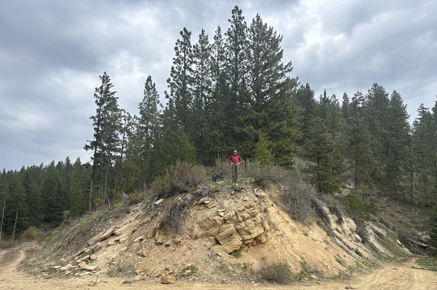
Zosia stands on an embankment above a
forestry road cutting across the ridge.
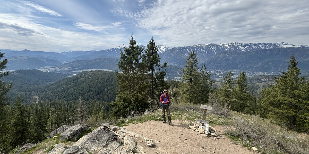

Zosia tags the next high point (956
metres) beyond the viewpoint. Although this is not even the
highest point of the entire ridge,
peakbagger.com
designates this spot as Sauer's Mountain.

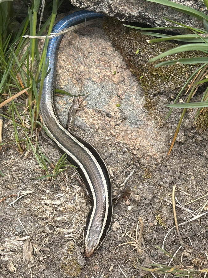
A young western skink crawls out from under
a rock near the viewpoint. Juveniles are distinguished by their
blue tails.

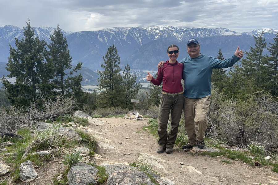
Zosia and Sonny pose at the viewpoint
with Icicle Ridge dominating the background. Some of the
Enchantment Peaks are also visible behind the trees at far left.

On descent, Zosia takes an alternate
trail which drops under the same dramatic cliffs she hiked above
earlier in the day.

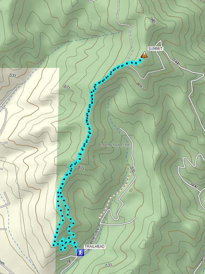
Total Distance: 9.9 kilometres
Round-Trip Time: 5 hours 19 minutes
Cumulative Elevation Gain: 571 metres