Zosia and I stopped for our usual lunch break near the summit before retreating along the same trail down the mountain. The descent felt just as monotonous as the ascent, but at least we were moving a little faster going downhill. We ultimately made it back to the trailhead without any issues and subsequently drove to a local private campground to grab a much needed shower.
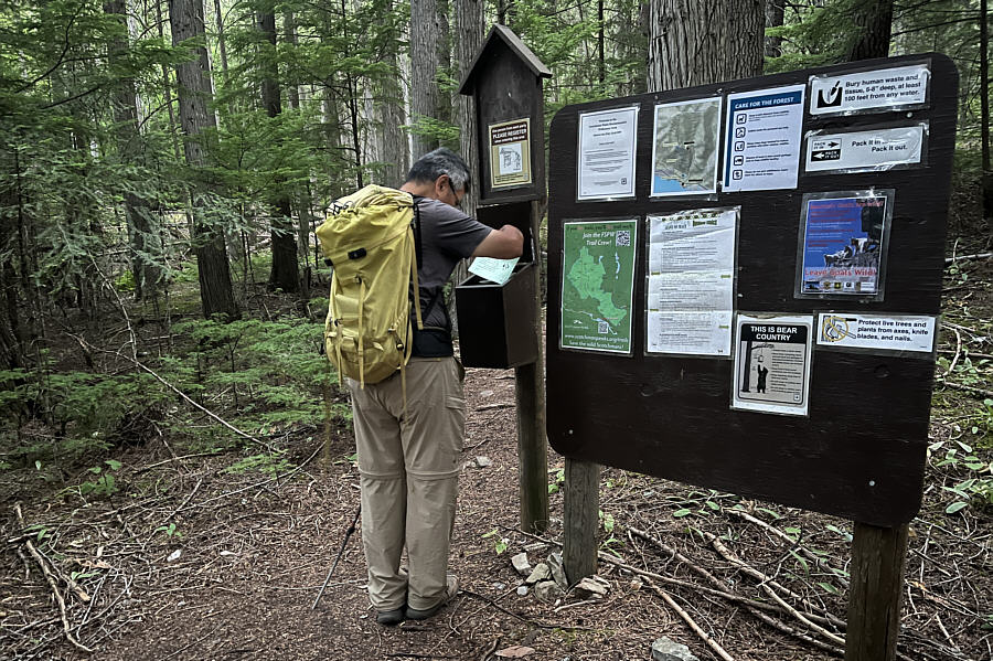 |
Sonny checks out the self-registration
forms at the trailhead for Historic Big Eddy Trail #999. Photo courtesy of Zosia Zgolak
|
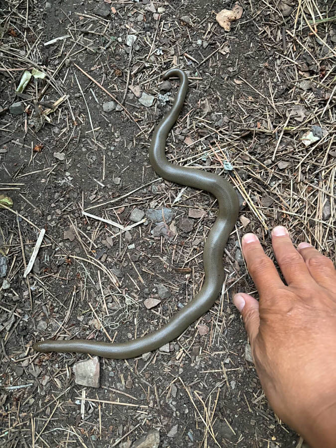 |
A rubber boa lies in the middle of the trail. |
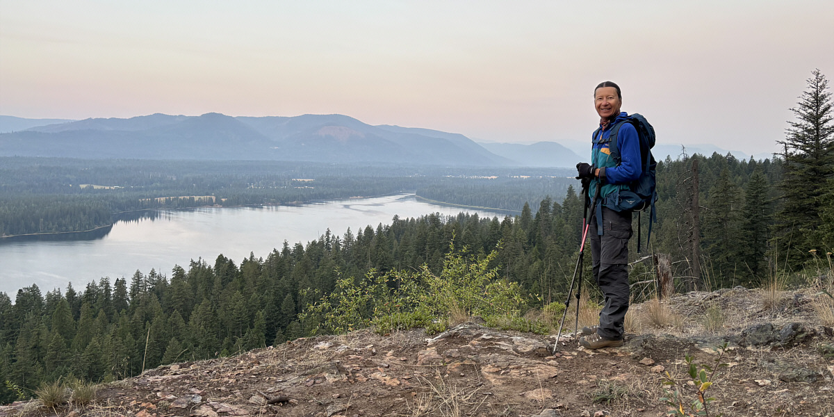
A clearing early in the hike grants this view of Cabinet Gorge Reservoir (Clark Fork River).
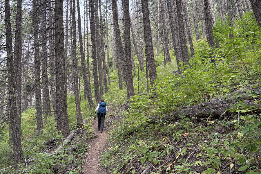 |
Most of the trail climbs up through viewless forest. |
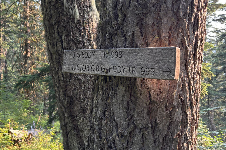 |
A sign marks the junction with Big Eddy Trail #998 which is the original trail to the top of Star Peak. |
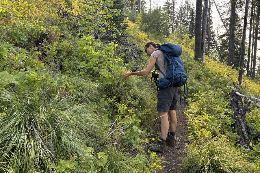 |
Zosia finds some ripe huckleberries along the trail. |
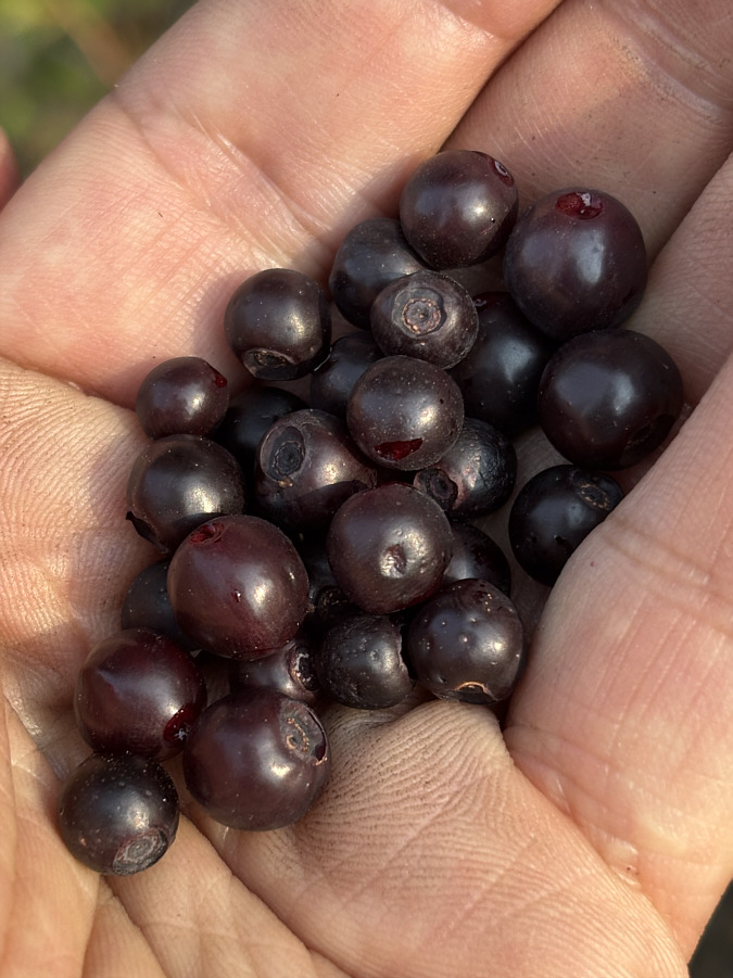 |
Here is a handful of ripe huckleberries. |
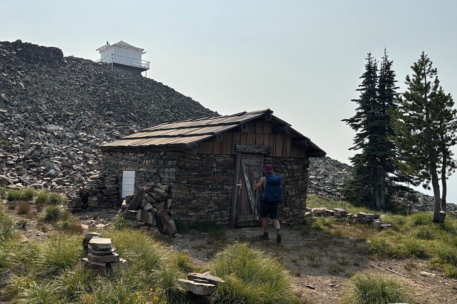 |
Zosia arrives at a well-kept cabin--built in 1910--just below the fire lookout tower atop Star Peak. |
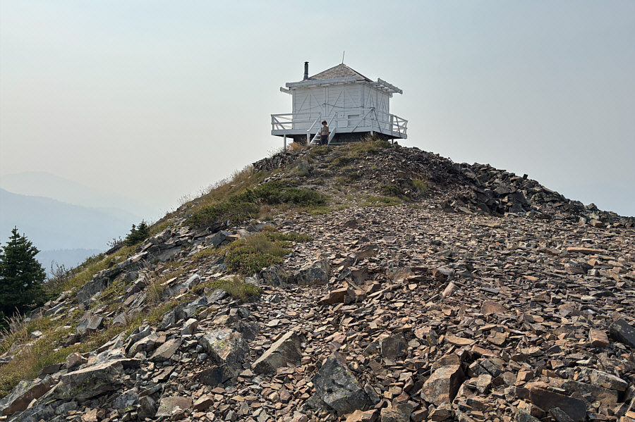 |
The fire lookout tower atop Star Peak was built in 1956. On some maps, it is still referred to as "Squaw Peak Lookout Station" since this mountain was formerly known as Squaw Peak (renamed in 2004). |
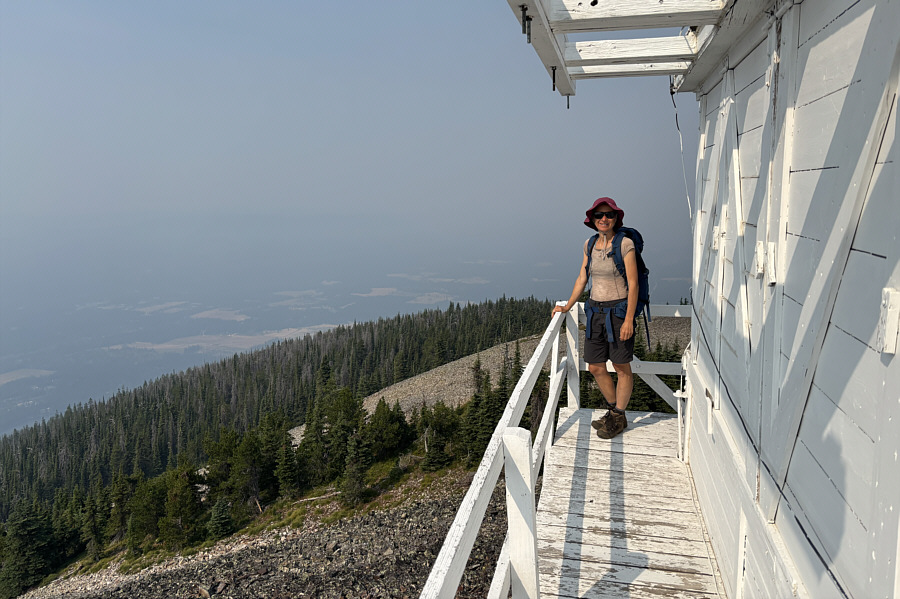 |
Zosia stands on the outside deck of the fire lookout tower. |
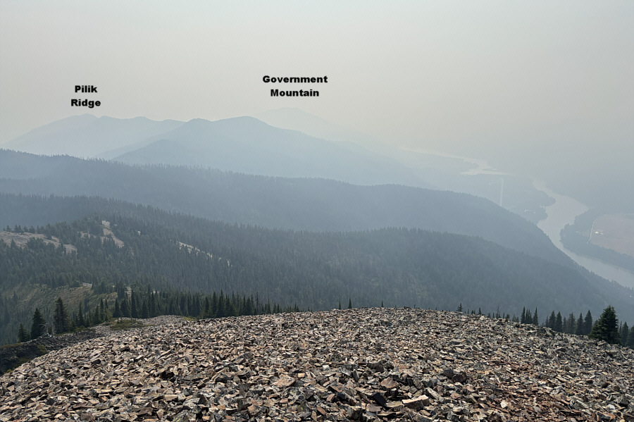 |
A few nearby high points are visible to the southeast through the murky wildfire haze. |
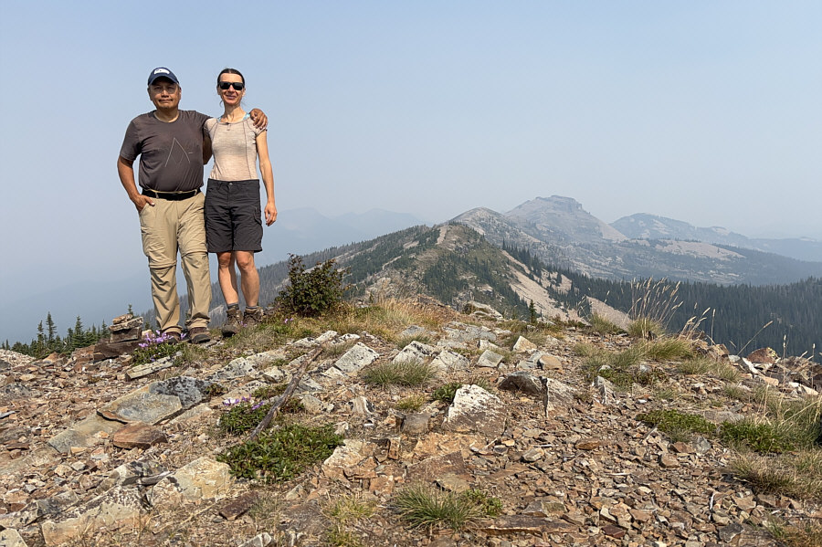 |
Sonny and Zosia stand near the summit of Star Peak (1880 metres). The tallest mountain at distant right is known as Billiard Table. |
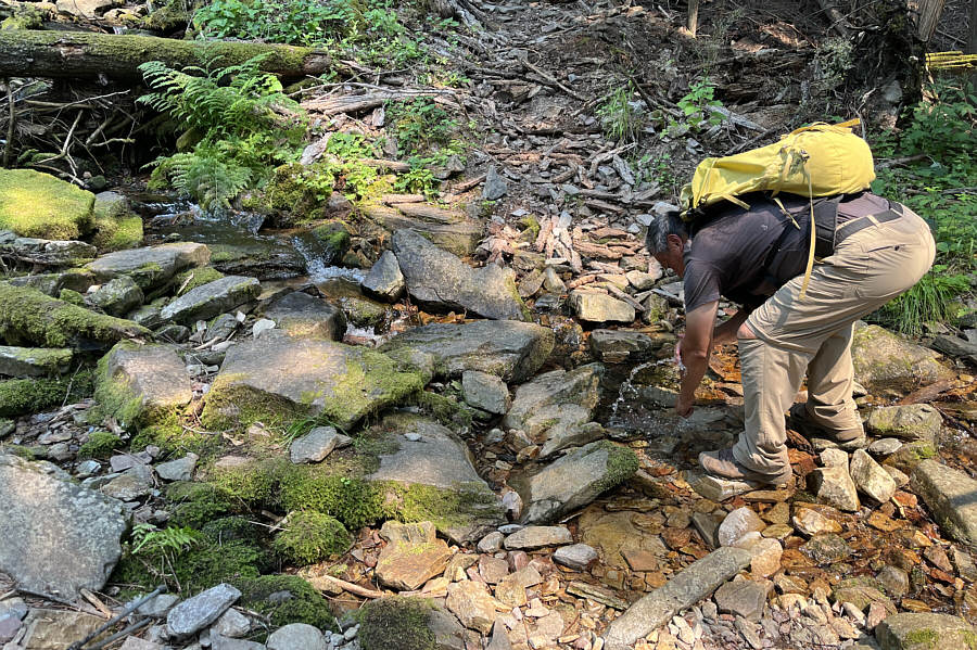 |
Not far from the trailhead, Sonny
stops at Big Eddy Creek to splash himself with some refreshingly cold
water. Photo courtesy of Zosia Zgolak |
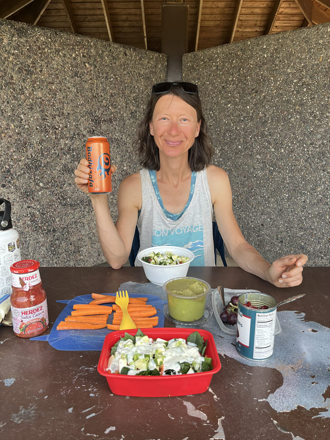 |
After having a refreshing shower, Zosia enjoys a beer with dinner at a rest area near Troy, Montana. |
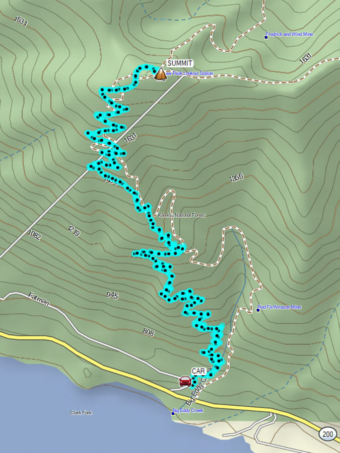 |
Total Distance: 17.6 kilometres Round-Trip Time: 8 hours 18 minutes Cumulative Elevation Gain: 1152 metres |