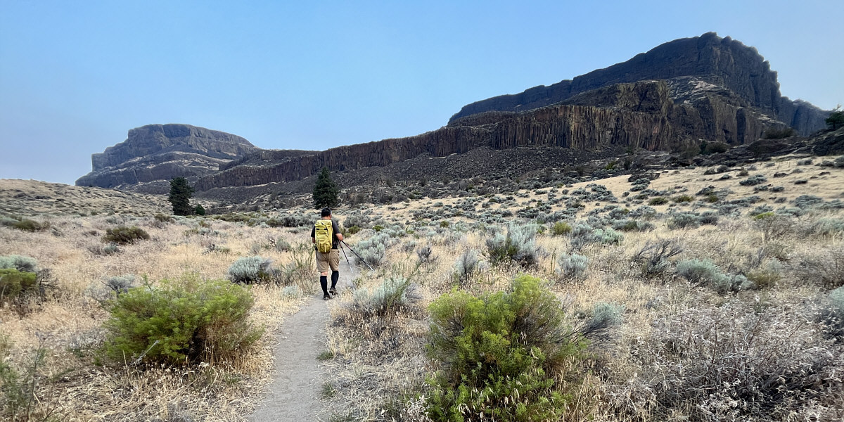
Sonny hikes one of the approach trails to Steamboat Rock.
Photo courtesy of Zosia Zgolak
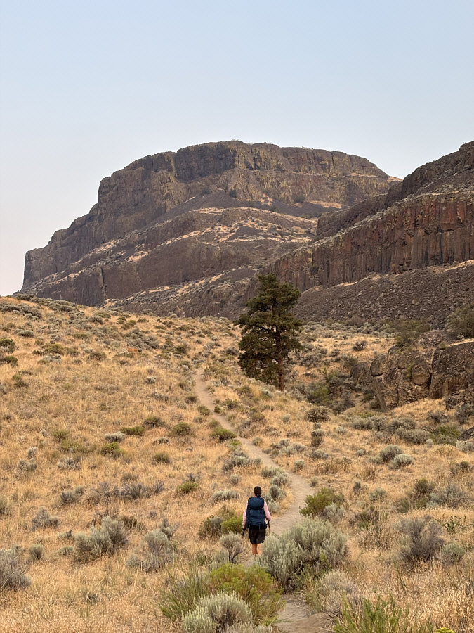 |
Zosia aims for a weakness in the cliff bands guarding Steamboat Rock. |
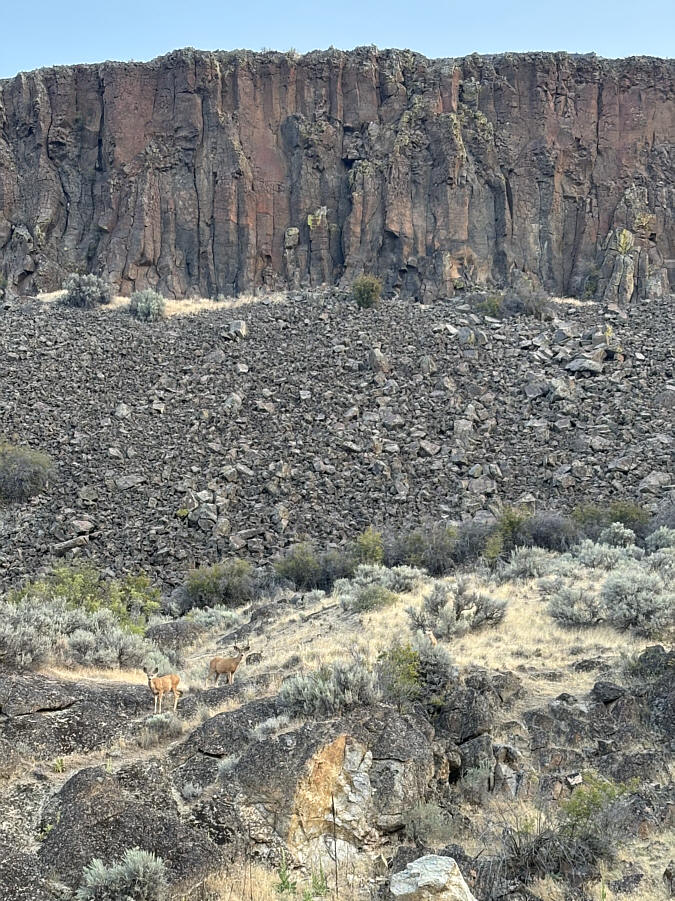 |
Some deer forage below cliffs comprised of basalt columns. |
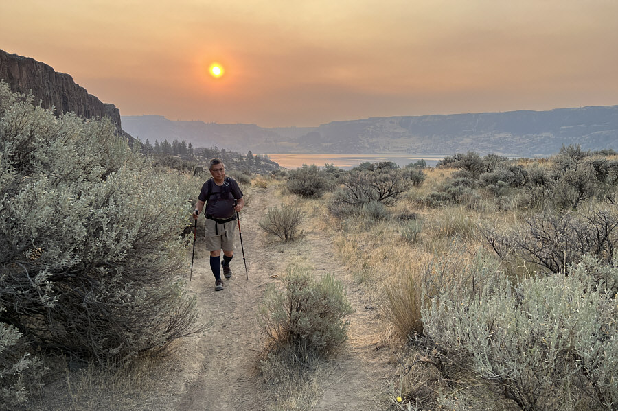 |
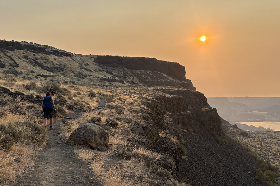
The morning sun has a reddish hue due
to wildfire smoke. Photo courtesy of Zosia Zgolak |
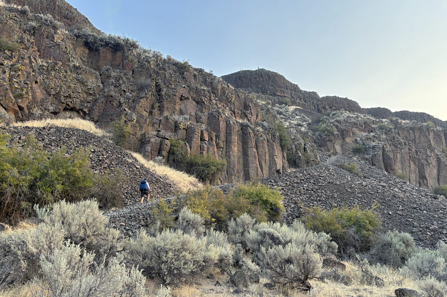 |
An obvious trail goes up the weakness in the cliff bands. |
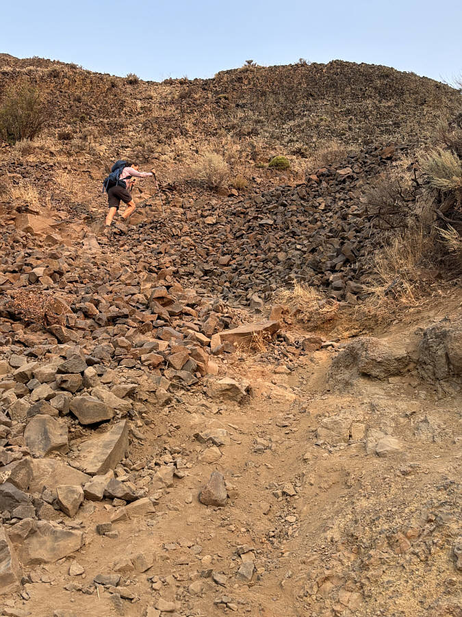 |
This is the steepest and loosest part of the trail through the weakness. |
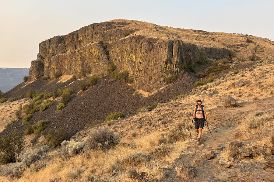 |
The basalt cliffs of Steamboat Rock's southern outlier are covered with yellow lichen. |
 |
Zosia begins the loop portion of the hike in a counter-clockwise direction by following the trail to the northeast. |
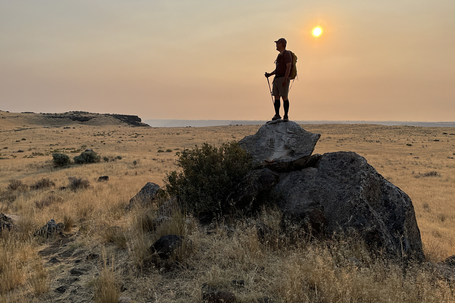 |
Sonny stands on a rock outcrop looking
toward Steamboat Rock's high point which is somewhere among the bushy
rise at far left. Photo courtesy of Zosia Zgolak |
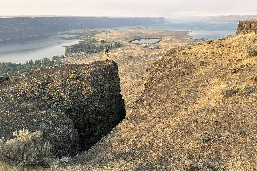 |
Sonny takes a short detour from the
trail to get a better look at Thompson Lake (centre). The body
of water at left is part of Banks Lake but also known as Devils Punch
Bowl. Photo courtesy of Zosia Zgolak |
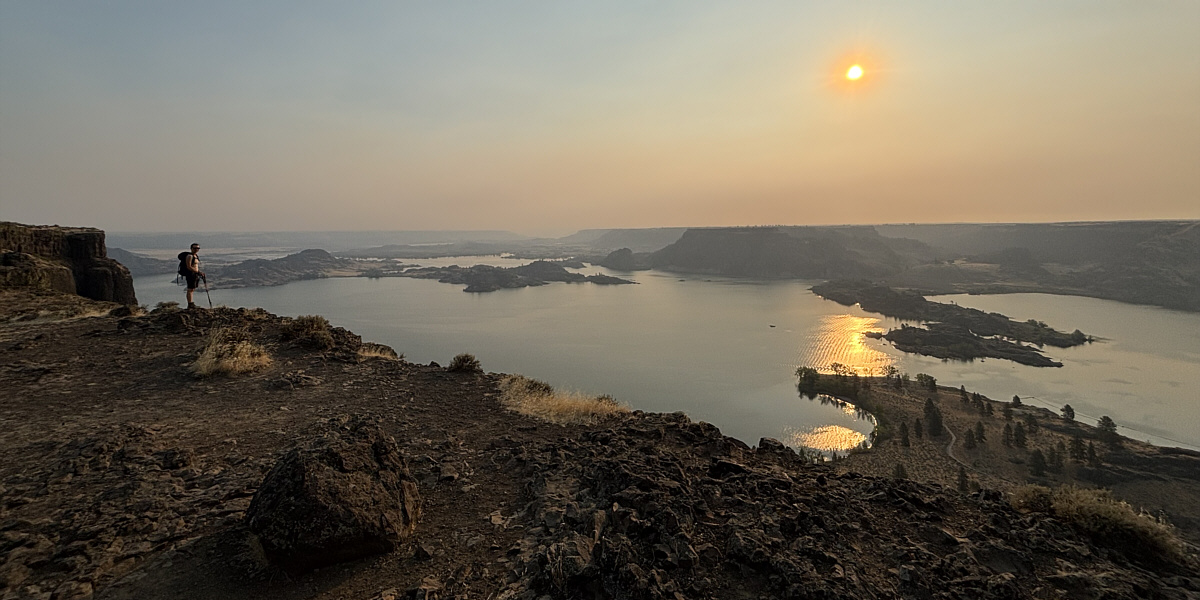
The channel at right is the entrance to Devils Punch Bowl (far right). Beyond the channel at the far side of Banks Lake is a flat top officially called Castle Rock.
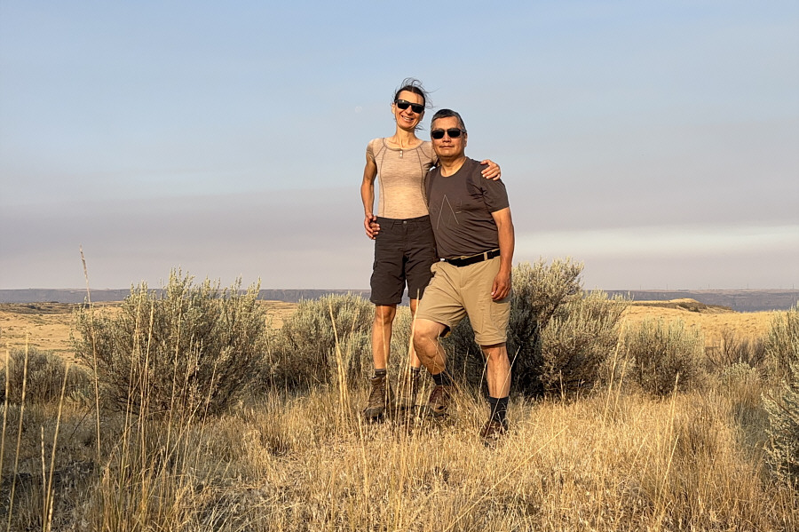 |
Zosia and Sonny stand on the apparent high point of Steamboat Rock (707 metres). |
 |
Sonny ventures out to an overhanging
cliff on the east side of Steamboat Rock. Photo courtesy of Zosia Zgolak |
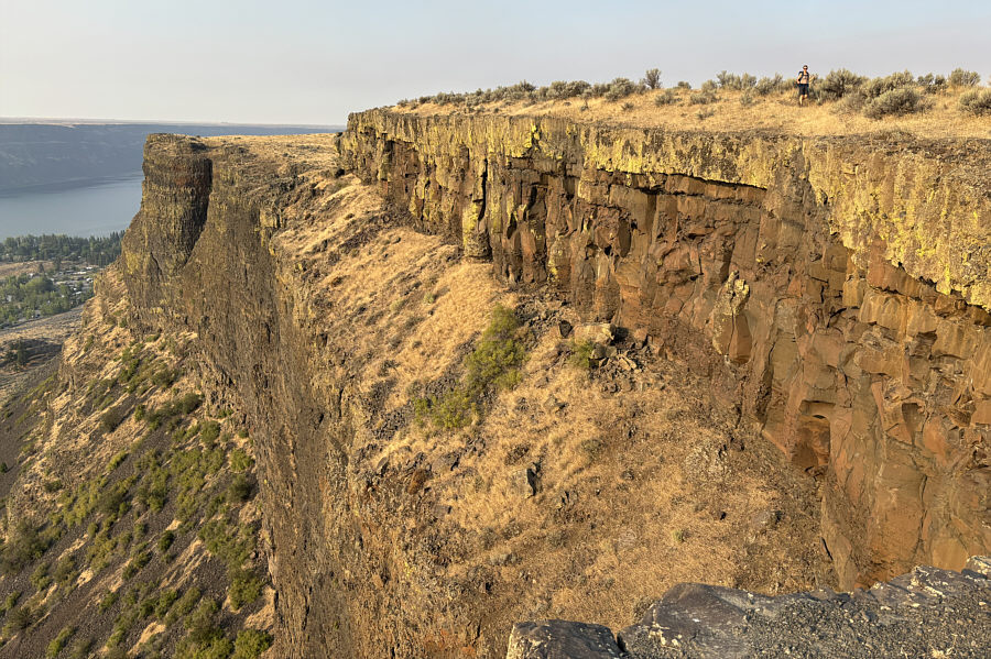 |
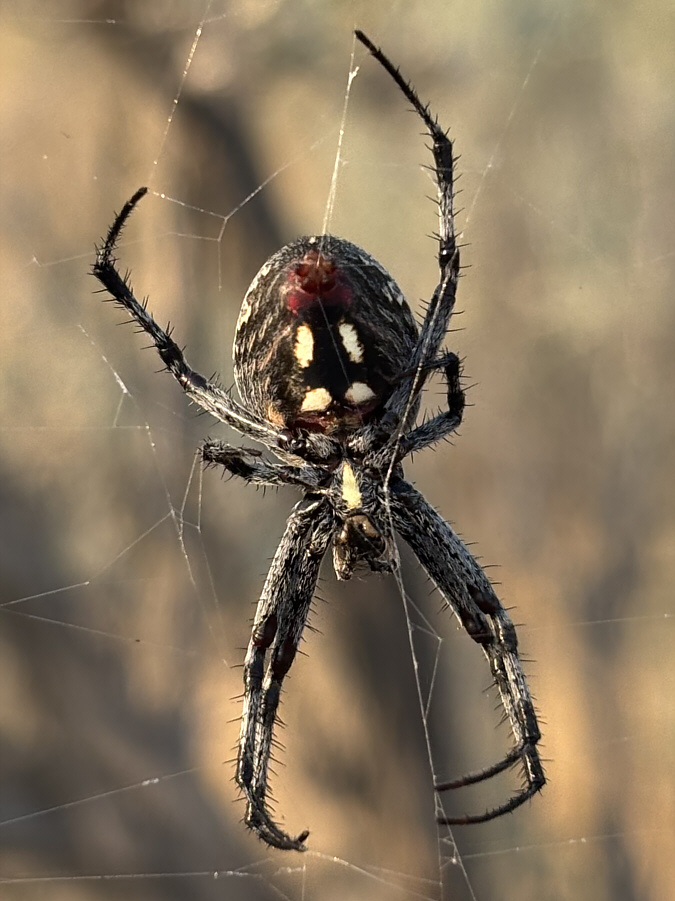
Here is a look back along the eastern cliffs from Sonny's location in the last photo. |
 |
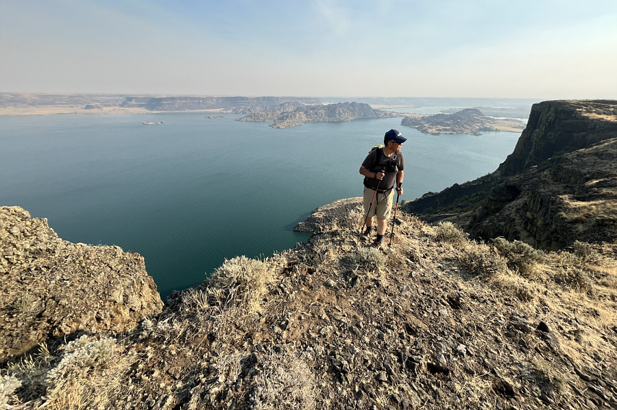
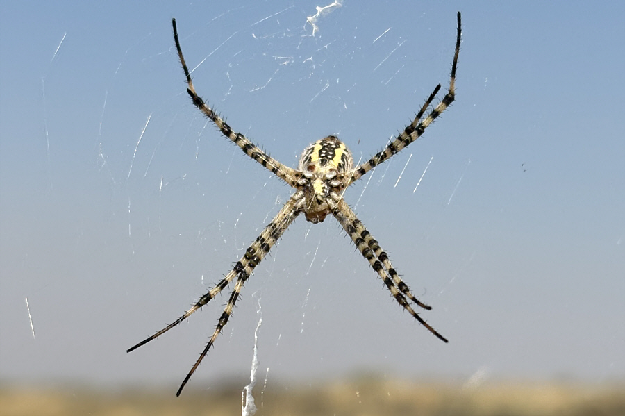
This is one of many western spotted orbweavers (or zig-zag spiders) that apparently thrive on the bushes that grow atop Steamboat Rock. |
 |
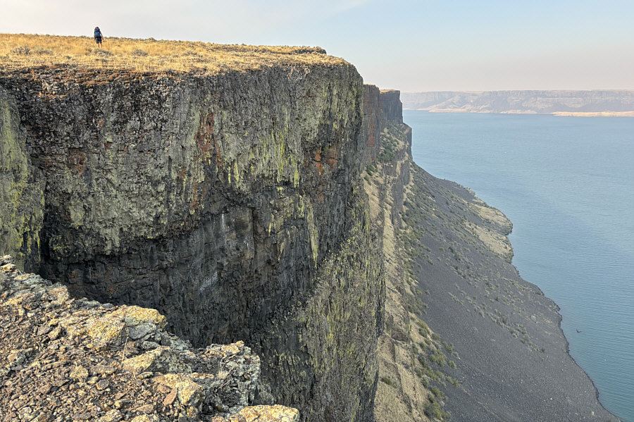
Sonny pauses at yet another viewpoint overlooking Banks Lake to the north. |
 |
Zosia hikes along the top of Steamboat Rock's northern cliffs. |
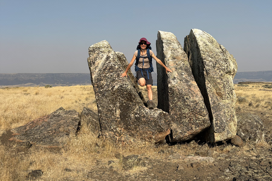 |
Zosia scrambles through a broken erratic on the grassy plateau. |
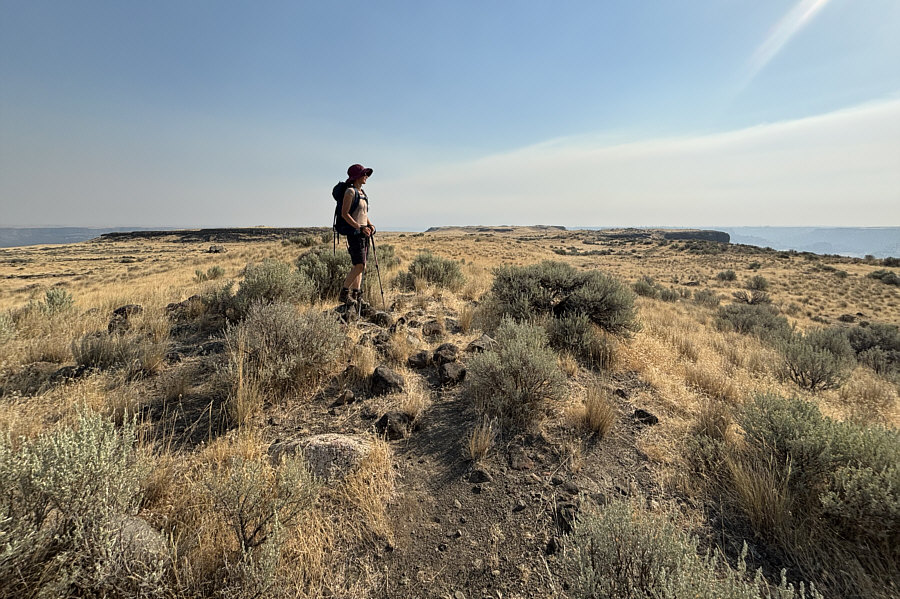 |
Zosia stands on Steamboat Rock's benchmark (696 metres) which is located far from the true high point (right of centre on horizon). |
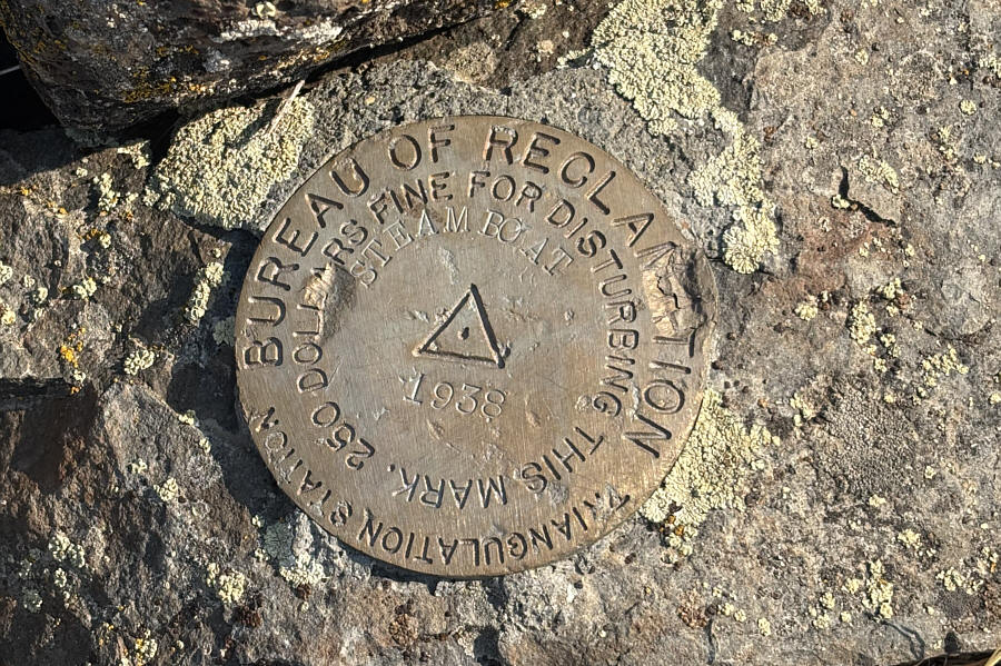 |
Here is a closer look at Steamboat Rock's benchmark. The Bureau of Reclamation is a federal agency that oversees water resource management. |
 |
Here is a slightly different-looking orbweaver spider found on the southern outlier of Steamboat Rock. |
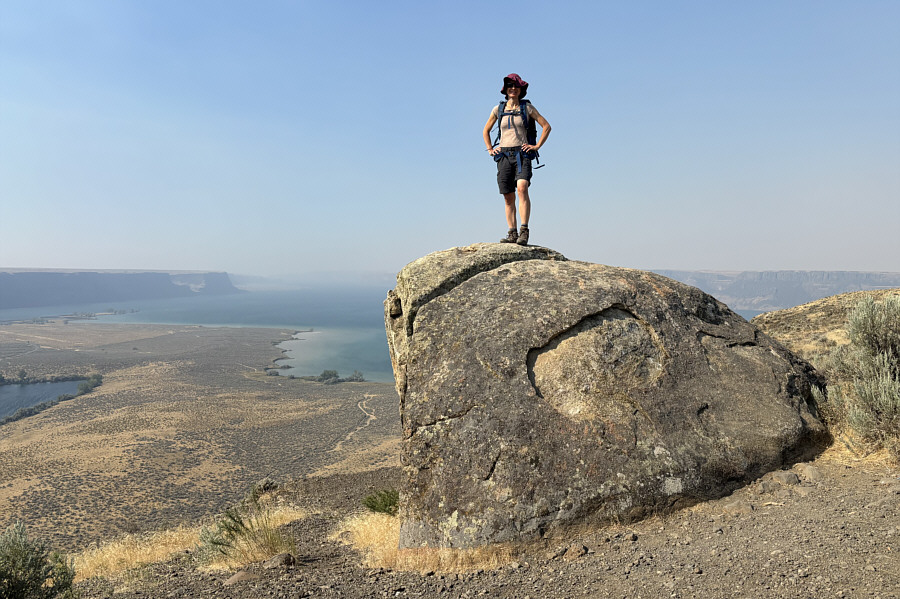 |
Zosia scrambles onto a rock at a viewpoint on Steamboat Rock's southern outlier. |
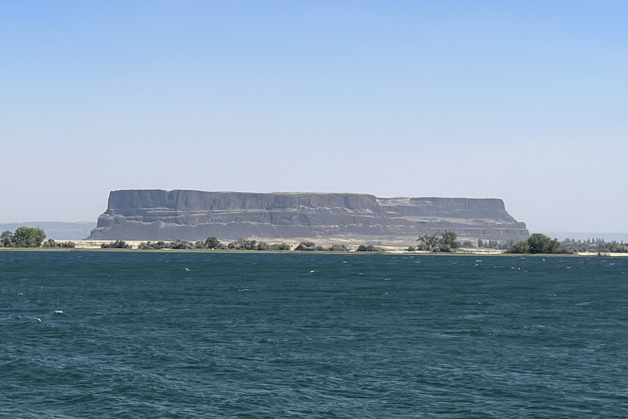 |
Here is a last look at Steamboat Rock
across Banks Lake from the highway to the south. Photo courtesy of Zosia Zgolak |
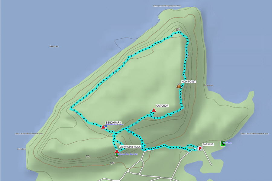 |
Total Distance: 7.8 kilometres Round-Trip Time: 3 hours 52 minutes Cumulative Elevation Gain: 253 metres |
From the campground gate opposite the beach at the east end of Park Lake, drive south along Park Lake Road for 200 metres and turn left onto Deep Lake Road. Drive east for 1.6 kilometres to a split and keep left following signs for Dry Falls Lake, Camp Delaney and Perch Lake. Drive 600 metres to a 4-way junction and go straight on a rough 2WD gravel road with Umatilla Rock Trailhead just a little further on the right. Drive another 750 metres and park in a pullout (47.59472, -119.36514) on the right. More parking is available at a second pullout (47.59606, -119.36467) further down the road or a large parking area (47.59656, -119.36478) at the east end of Perch Lake.
From the pullout, Zosia and I walked a little further along the road before leaving it and turning uphill to climb a steep talus slope below the only obvious weakness in the western cliffs of Umatilla Rock. The rocks on the talus slope were generally stable, and we made good progress up to the base of the cliffs. The crux is comprised of two short cliff bands with the first one being more exposed and the trickier of the two to surmount. Fortunately, we found enough good handholds and footholds to safely climb up both cliff bands and reach the summit plateau. On the plateau, we first turned northward to go tag the true high point of Umatilla Rock before turning around and wandering to the very south end which is marked by two large cairns. We then returned to the spot where we first gained the plateau and safely down-climbed the crux. Descending the steep talus slope also required some care, but we eventually made it down to our car without any mishaps. On our way out, we stopped at the campground to grab a quick shower before exiting the park.
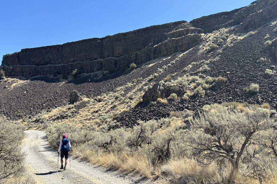 |
The weakness at upper right is the key to scrambling up Umatilla Rock. |
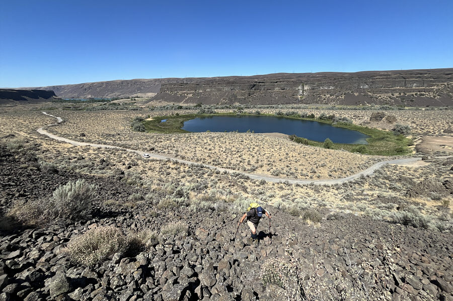 |
Sonny climbs up a steep talus slope
with Perch Lake behind him. Photo courtesy of Zosia Zgolak |
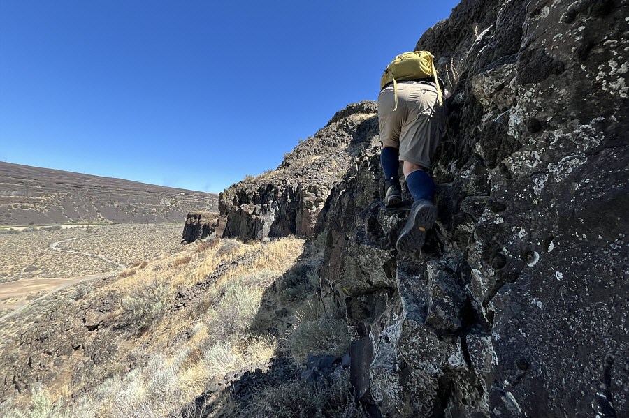 |
Sonny scrambles up the first cliff
band above the talus slope. Photo courtesy of Zosia Zgolak |
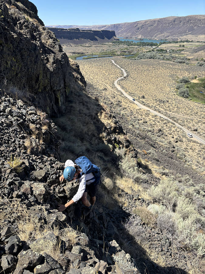 |
It is Zosia's turn to scramble up the same cliff band. |
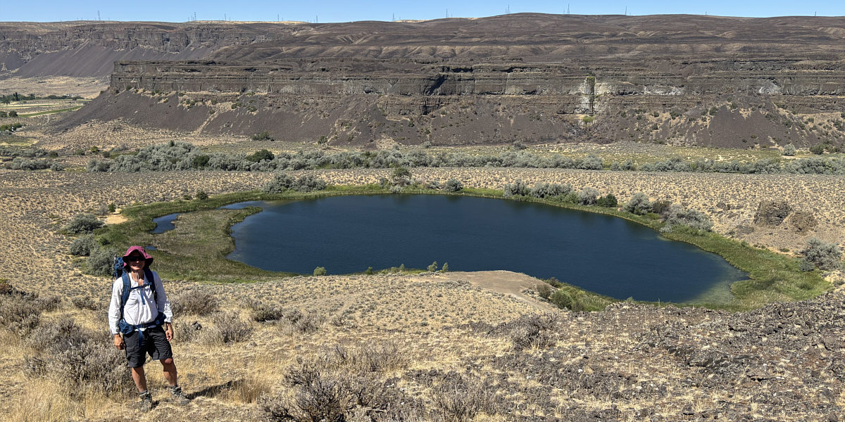
Here is another view of Perch Lake from the plateau atop Umatilla Rock.
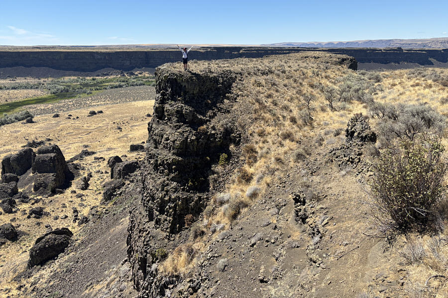 |
Zosia stands on a cliff on the east side of Umatilla Rock. |
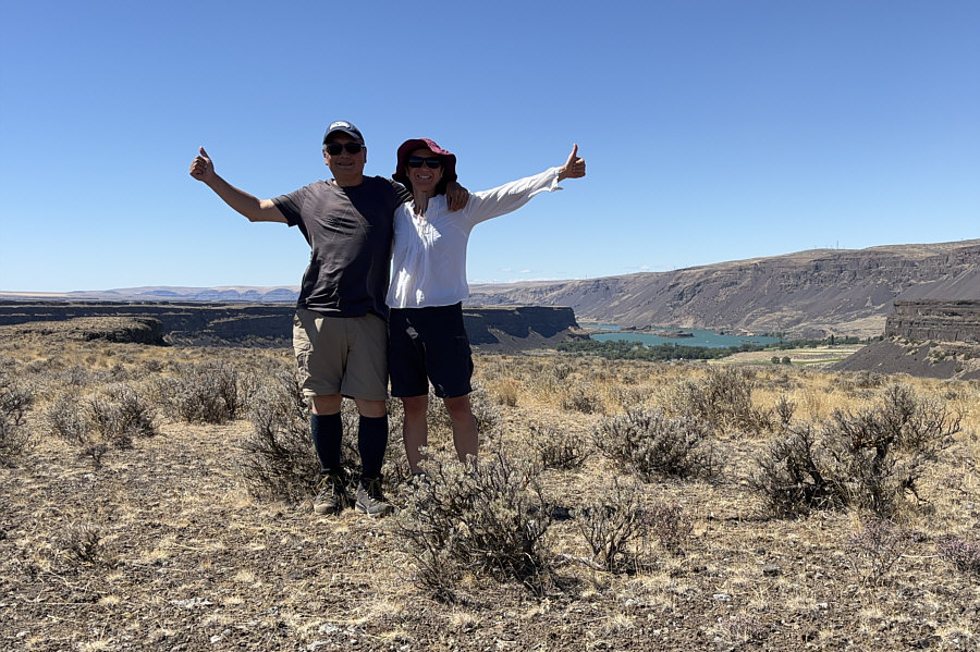 |
Sonny and Zosia stand on the high point of Umatilla Rock (476 metres). |
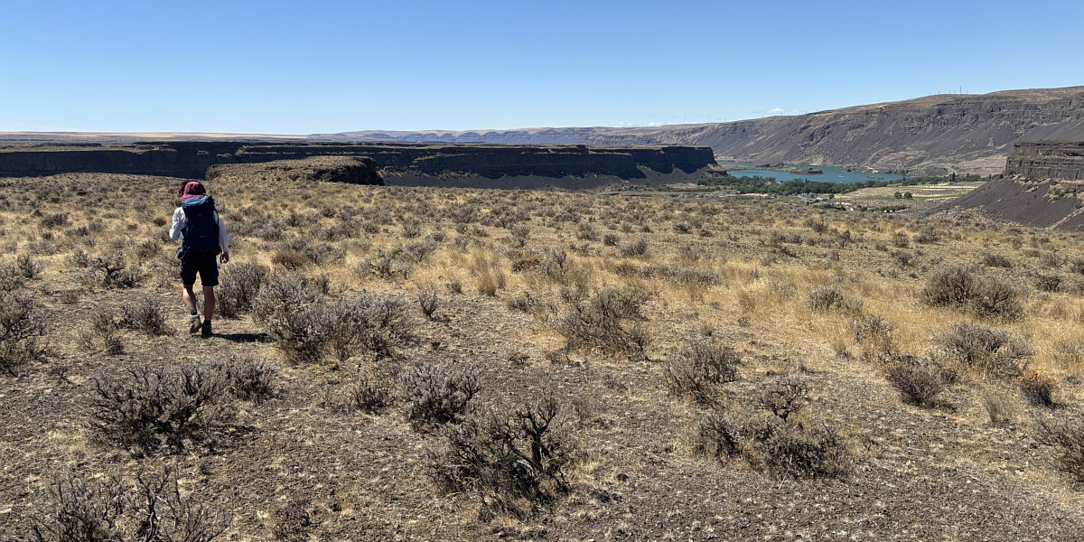
Zosia heads for Umatilla Rock's south end which is visible at left.
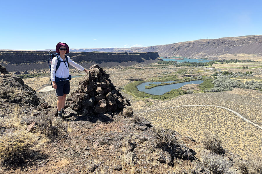 |
Zosia reaches one of two large cairns at Umatilla Rock's south end (464 metres). At right is Rainbow Lake (or "Vic Meyers Lake"), and further in the distance is Park Lake. |
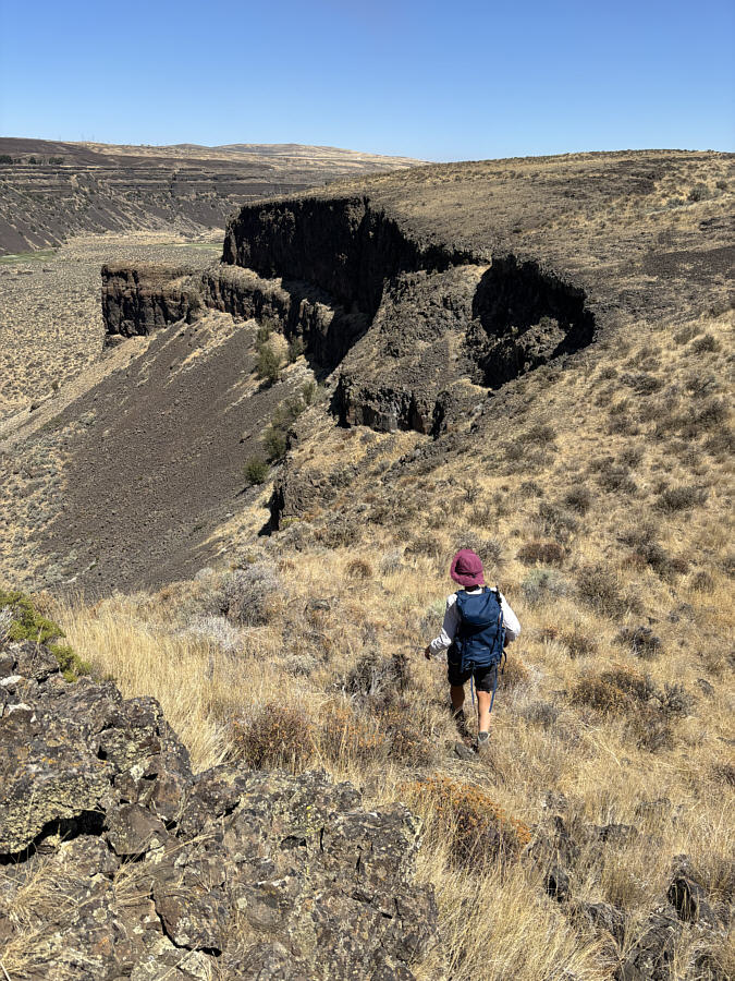 |
On descent, Zosia looks for the exact spot where she came up. |
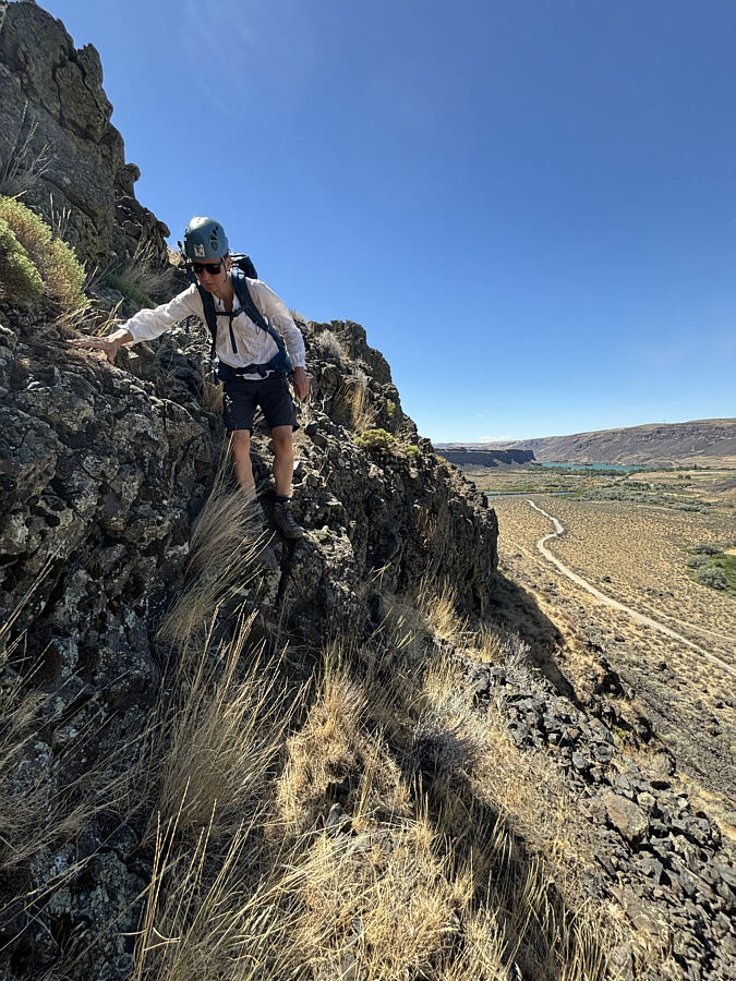 |
Zosia carefully down-climbs the crux. |
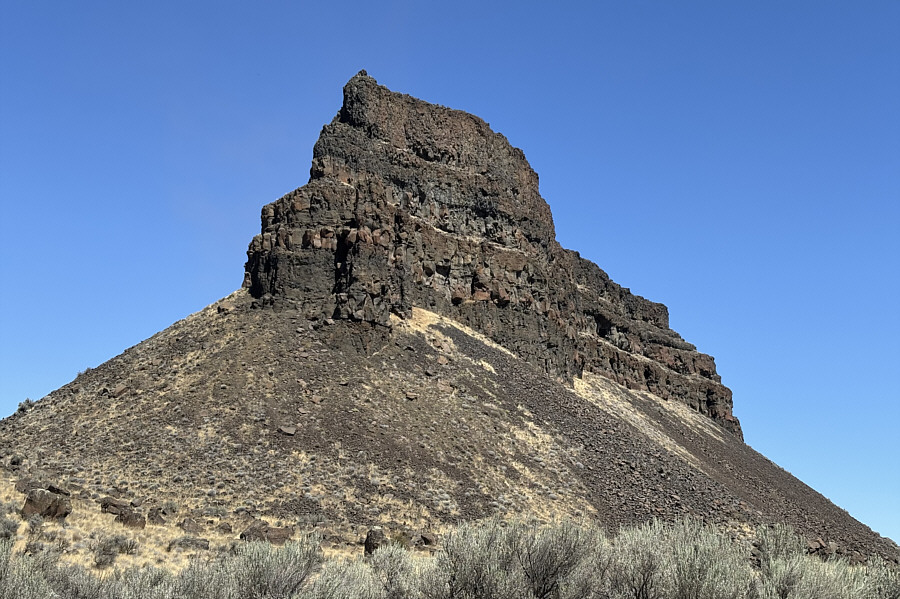 |
Here is a last look at the south end of Umatilla Rock from its namesake trailhead. |
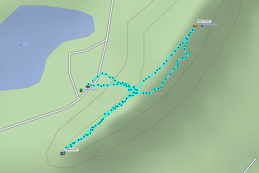 |
Total Distance: 1.7 kilometres Round-Trip Time: 1 hour 26 minutes Cumulative Elevation Gain: 59 metres |
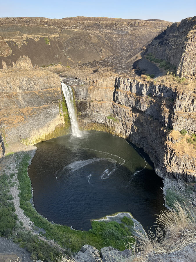 |
Palouse Falls State Park showcases Washington's official state waterfall. Click on the photo to see a video of the waterfall in action. |
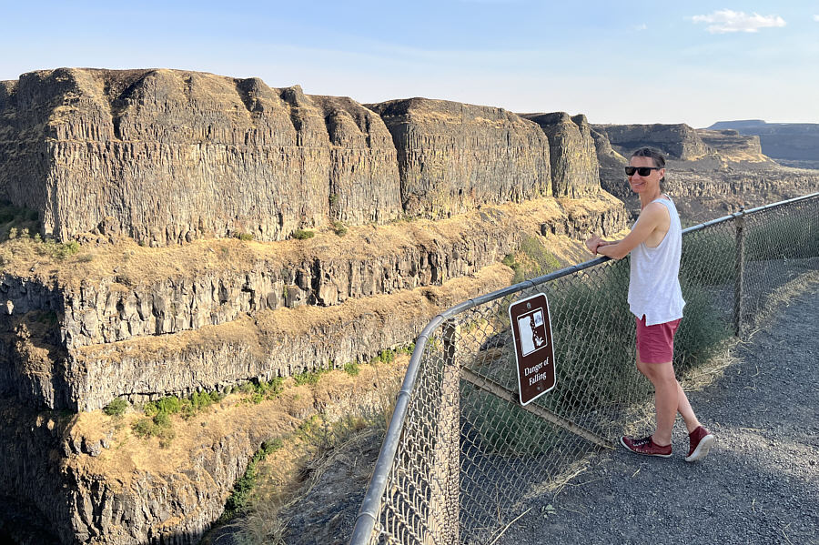 |
The canyon walls of Palouse River look radiant in the late day sunshine. |