BOU AVENUE
Thirsty Mountain And Webb Mountain
Wrapping up our summer road trip on 8 August 2026, Zosia Zgolak and I made plans to climb Webb Mountain located on the west side of Lake Koocanusa in Montana's Kootenai National Forest.  We got the idea for this objective from Brandon Boulier who climbed up the east ridge via the Pacific Northwest Trail, an ascent that entails over a vertical kilometre of elevation gain.  We originally planned to do the same, but while we were camped at the trailhead the previous evening, I was doing some research on my phone and discovered that the fire lookout tower atop Webb Mountain has been repurposed as a rentable shelter and can be accessed by a well-maintained road.  With plenty of daylight left, we continued driving and ended up camping at a crossroad between Webb Mountain and a higher peak to the west officially named Thirsty Mountain which can also be accessed via the Pacific Northwest Trail.  Since we saved ourselves a boatload of distance and elevation gain, we would also try and tag Thirsty Mountain at the same time.

From State Highway 37, turn west onto Koocanusa Bridge 85.6 kilometres east and north of Staff Sergeant Arthur J Rambo Memorial Bridge in Libby or 20.9 kilometres west and south of the junction with US Highway 93.  At the west end of the bridge, turn right onto National Forest (NF) road 92.  Drive 4.3 kilometres and turn left onto NF-337 (2WD gravel).  Drive 13.8 kilometres and turn left onto NF-7179.  Drive 5.2 kilometres to a 3-way junction.  Park here.  The gated road (NF-7179F) to the left leads to the top of Webb Mountain while the double trailhead for both Webb Mountain and Thirsty Mountain Trails (Pacific Northwest Trail) is about 40 metres further along the road (NF-1921) to the right.

Starting from the double trailhead, Zosia and I first headed west along the Pacific Northwest Trail (FT-436).  After going over a low bump, the trail climbs up the east side of Thirsty Mountain but ultimately veers southward without reaching the summit.  We had hoped to find a side trail or beaten path leading to the summit, but having no luck, we simply abandoned the trail and bushwhacked up the south ridge.  There was quite a lot of toothpick deadfall and even some surprising cliffs guarding the south ridge, but we had no problems surmounting these obstacles.  The viewless summit is completely choked by forest, and we only stopped long enough to quench our thirst before starting our descent.

Instead of backtracking along the south ridge, Zosia and I took a short cut down Thirsty Mountain's eastern slope.  The bushwhacking here was much lighter than the south ridge, and we had no trouble dropping down and regaining FT-436.  Turning left, we easily hiked back to the double trailhead.
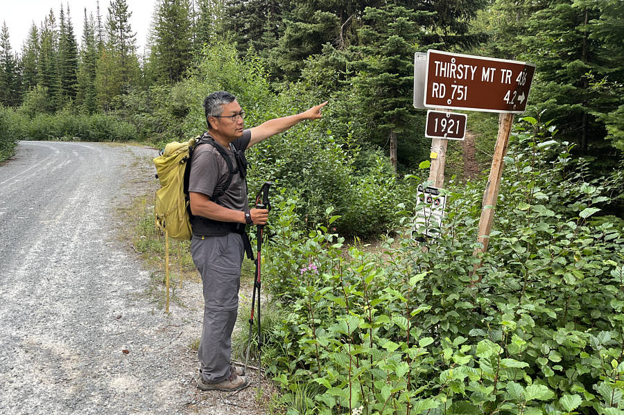
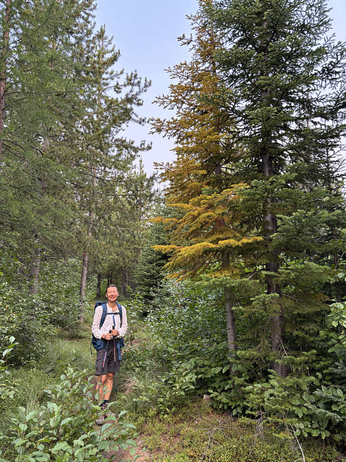
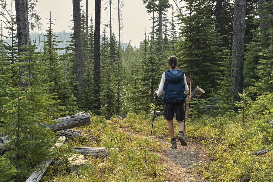
Doesn't go all the way to the top though! After enduring a lot of miserable bushwhacking the previous day, Sonny is relieved to find a good trail heading toward Thirsty Mountain.

Photo courtesy of Zosia Zgolak

If all spruce trees were like this, then golden larches would seem pretty mundane! Zosia finds a spruce tree that is mimicking a golden larch.
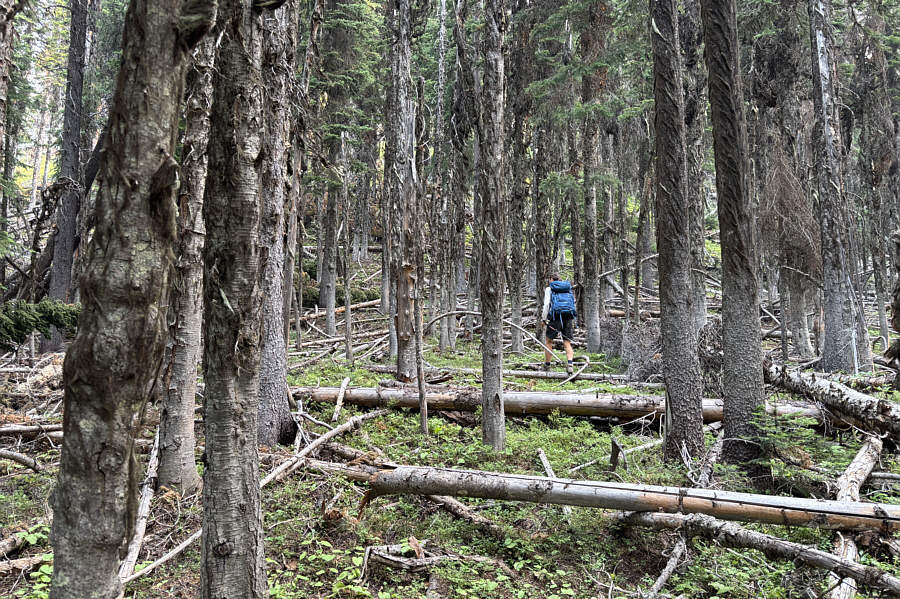
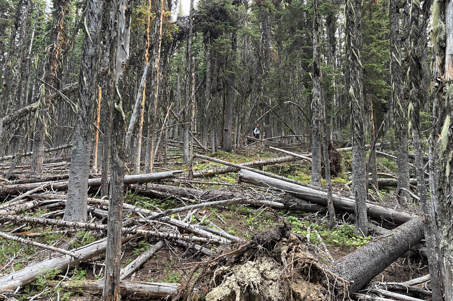
Not the worst we've encountered... Going off-trail, Zosia works her way past some toothpick deadfall on the south ridge of Thirsty Mountain.
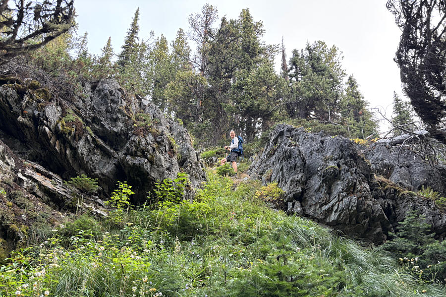
Wasn't expecting any cliffs here! Zosia climbs through a break in a surprising cliff band.
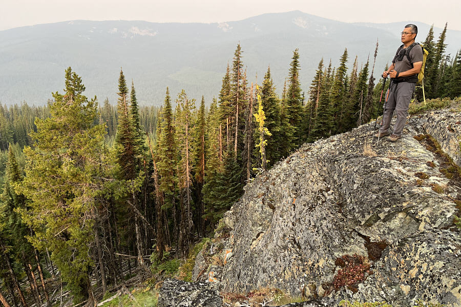
Highlight of the ascent. Sonny stands atop the cliff band with Boulder Mountain visible on the horizon.

Photo courtesy of Zosia Zgolak

This whole place is itching to burn... Zosia hikes through more toothpick deadfall near the top of Thirsty Mountain.
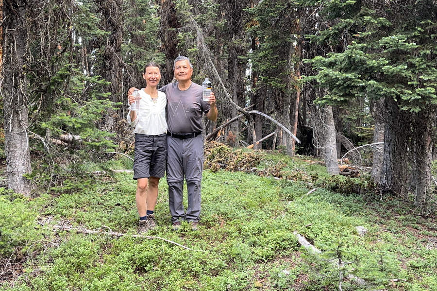
Na zdrowie! Zosia and Sonny raise their water bottles on the summit of Thirsty Mountain (1918 metres).
The tower is about 1.7 kilometers away from this point. The fire lookout tower on Webb Mountain is barely visible in the distance as Zosia hikes back to the trailhead.

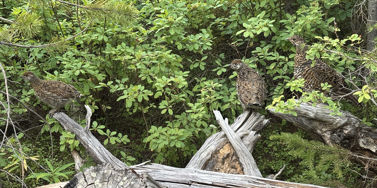
There was at least one other chick hiding in the bushes.

A couple of spruce grouse chicks and the mother hen are startled by intruders.


Without stopping at the double trailhead, Zosia and I continued eastward along FT-436 to ascend Webb Mountain.  The pleasant trail runs parallel to the fire lookout tower access road (NF-7179F) and eventually joins it just below the top.  Disappointingly, far-reaching views from the fire lookout tower were obscured by wildfire haze which was not unexpected.  We were also joined at the top by a couple of hikers from Red Deer, Alberta, and we had a pleasant chat with them before settling down for a snack break.

For our return, Zosia and I simply walked down NF-7179F to our car parked near the double trailhead.  The ensuing long drive home was thankfully uneventful and neatly wrapped up another exhausting but memorable summer road trip.
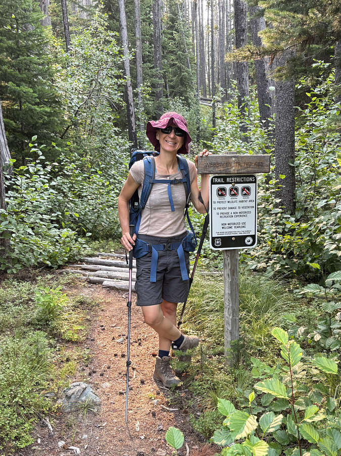
No more bushwhacking today...yay! Zosia is happy to hike a good trail leading to the top of Webb Mountain.
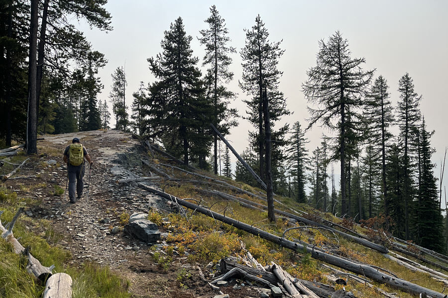
Nice spot to lie down! The trail runs past a rocky outcrop along the way to the top of Webb Mountain.

Photo courtesy of Zosia Zgolak

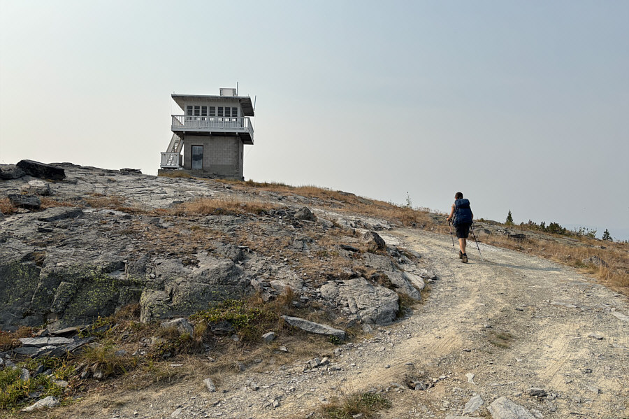
This is the view from the vault toilet! Zosia approaches the fire lookout tower atop Webb Mountain.
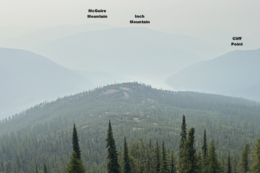
Shame about the smoky views! The view to the southeast includes a small bit of Lake Koocanusa.
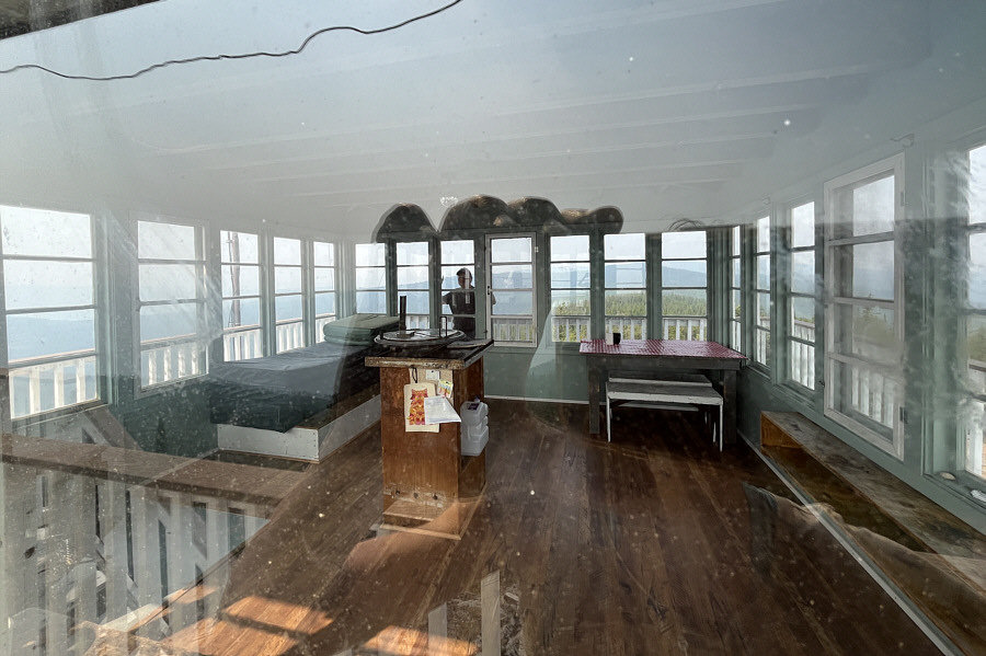
It's odd that there is still an Osborne fire finder inside. The fire lookout tower is available to rent for overnight stays.

Photo courtesy of Zosia Zgolak

The 30th and last summit of our summer road trip!

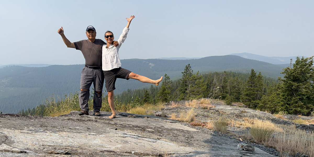
Sonny and Zosia rejoice near the summit of Webb Mountain (1830 metres).  Visible at right is Thirsty Mountain (in front of Boulder Mountain on the horizon).
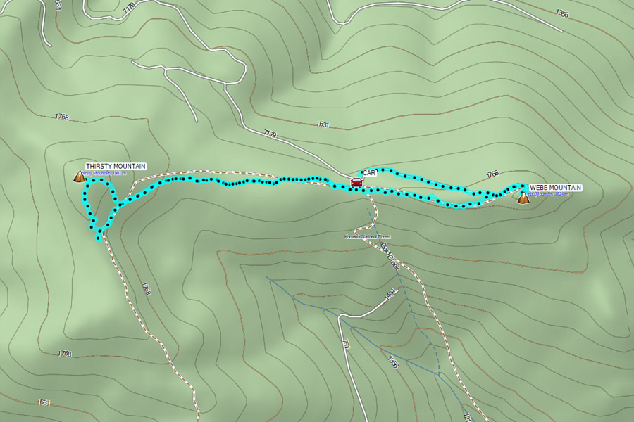
 

Worth the long but easy drive up. Total Distance:  9.1 kilometres
Round-Trip Time:  5 hours 5 minutes
Cumulative Elevation Gain:  299 metres

GPX Data