For our return, Zosia and I retraced our steps all the way back to NF 7605. The 150-metre climb back up the ridge was a bit disheartening but not as painful as I had anticipated. The remaining hike back to the car was straightforward.
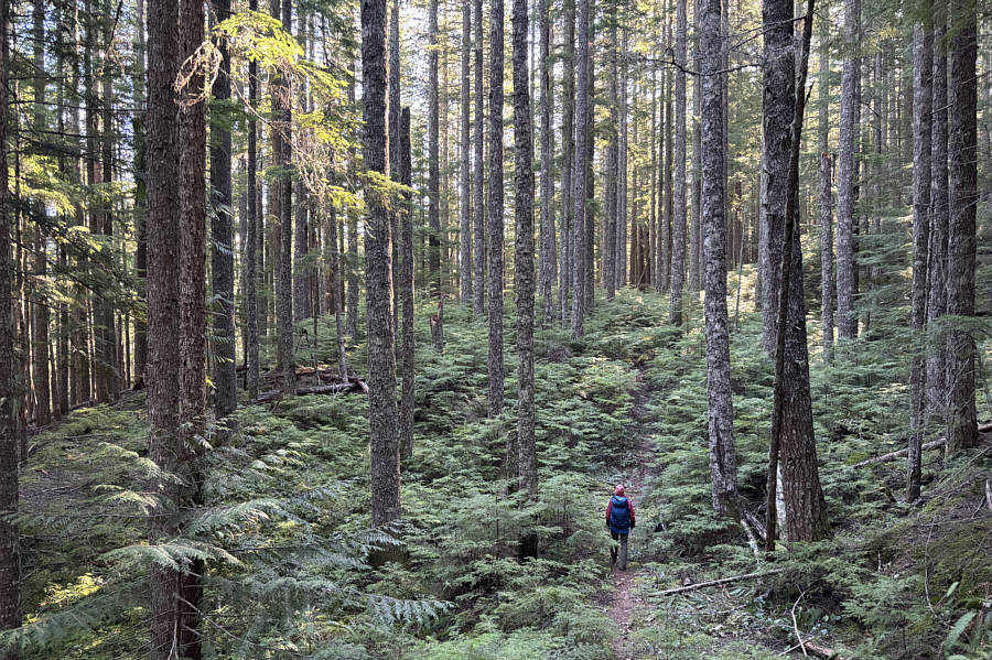 |
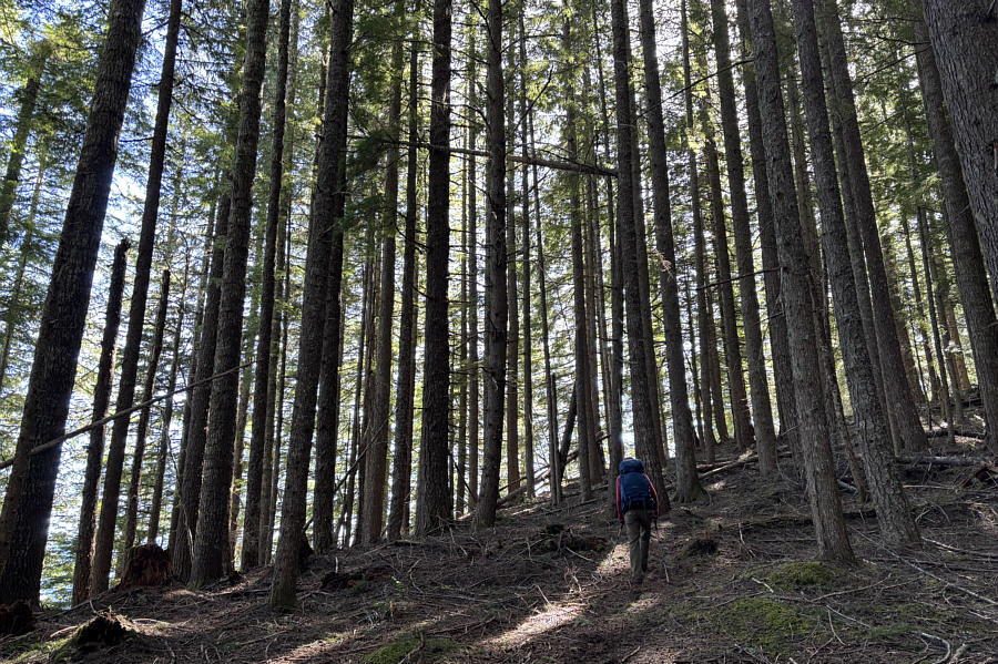
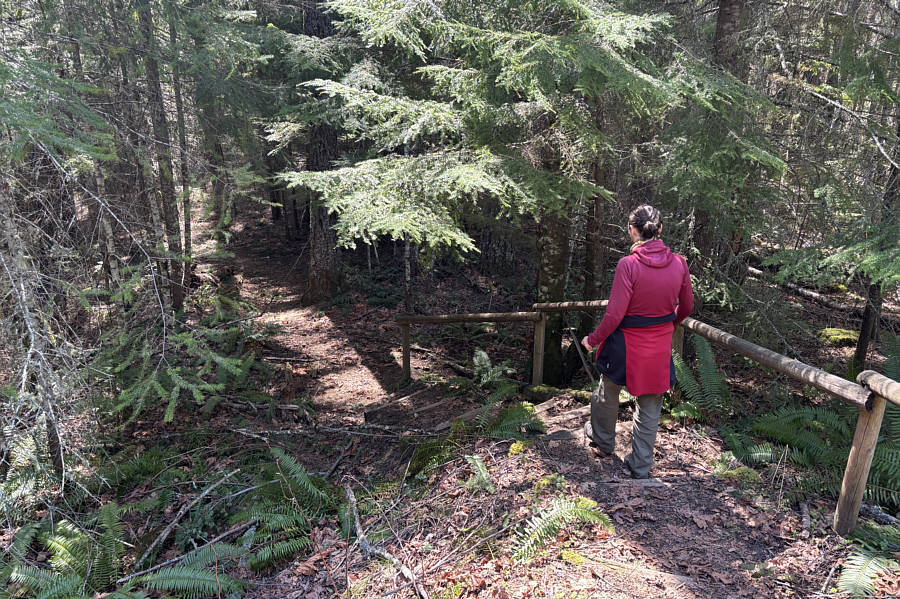
Zosia hikes along a forested trail en route to Tower Rock. |
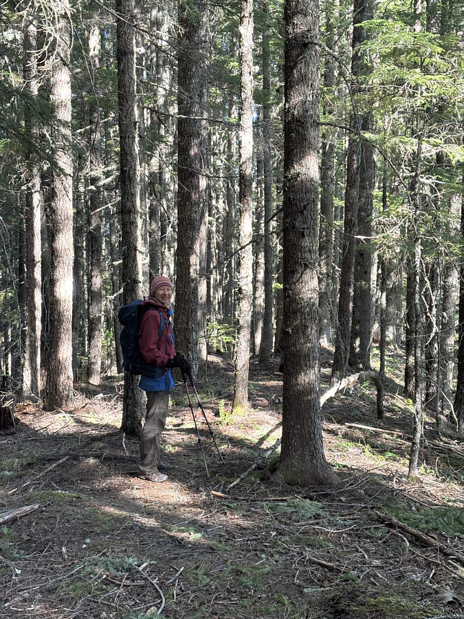 |
Zosia gains the ridge which leads downhill to Tower Rock. |
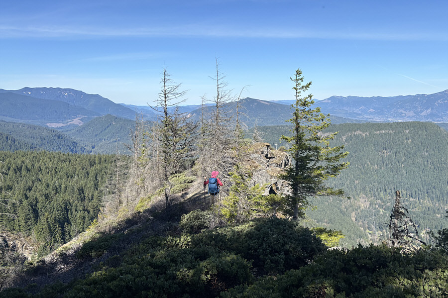 |
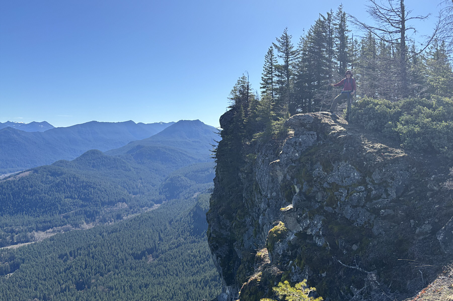
Zosia makes her way to the lower west end of Tower Rock's summit ridge. |
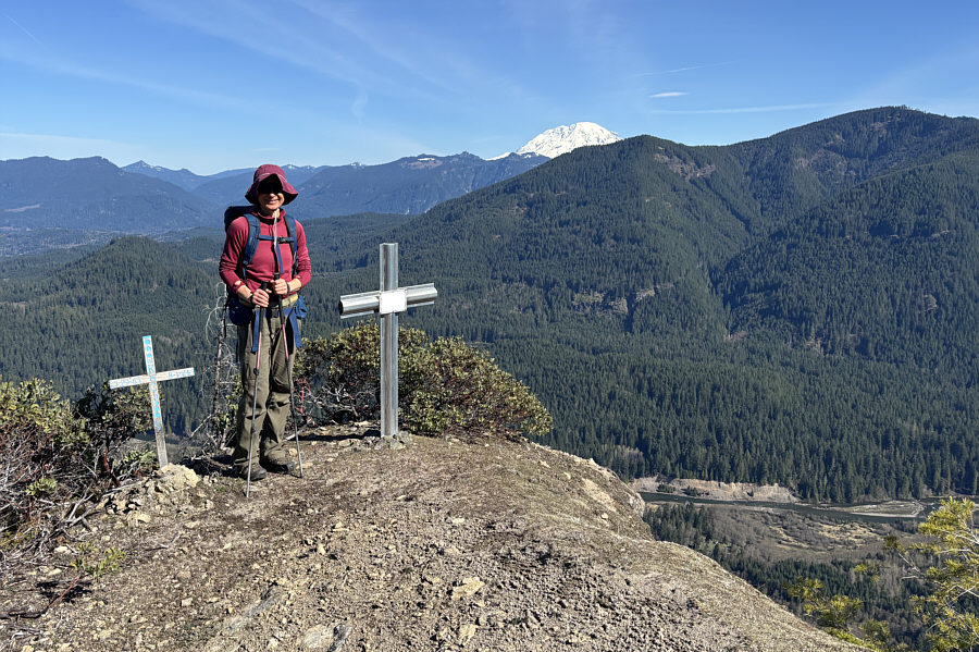 |
A couple of memorials adorn the west end of the summit ridge. Mount Rainier is hard to ignore to the north. |
 |
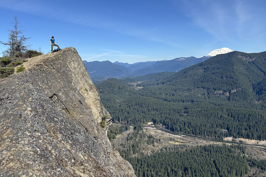
Zosia stands near the edge of the abyss. Visible left of centre in the distance is Tongue Mountain. |
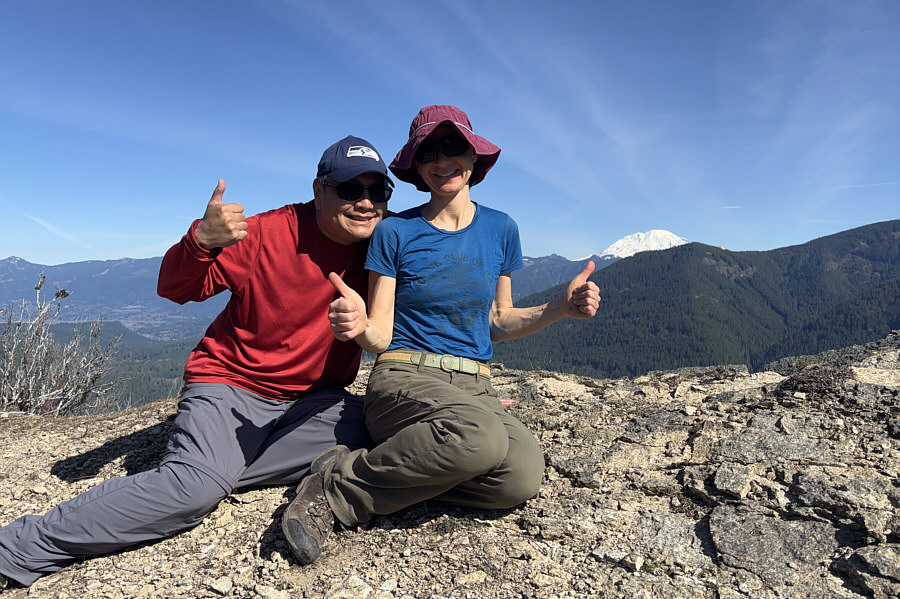 |
Sonny and Zosia sit on the high point (1018 metres) at the east end of Tower Rock's summit ridge. |
 |
Here is a better view of the drop-off on the north side of Tower Rock's high point. Visible in the valley below is Cispus River. |
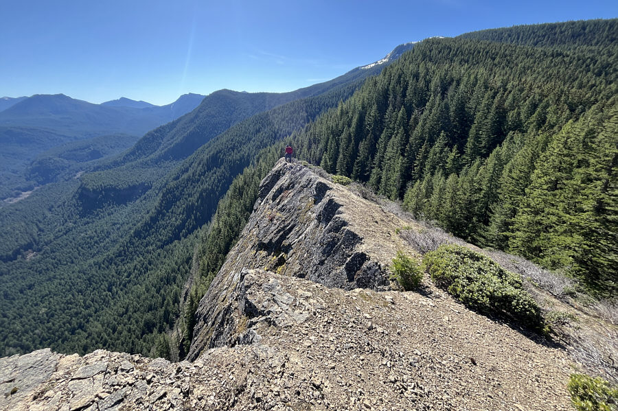 |
Sonny explores the very east end of
Tower Rock's summit ridge. Photo courtesy of Zosia Zgolak |
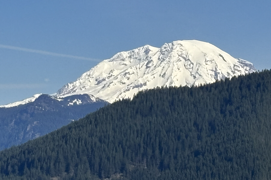 |
Here is one last closer look at Mount Rainier. |
 |
Zosia grinds her way back up the ridge for the return trip. |
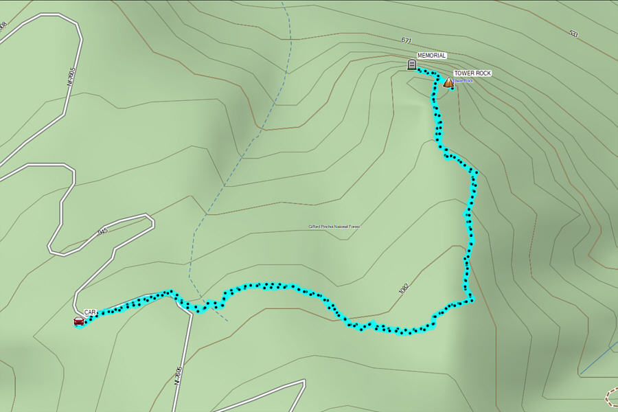 |
Total Distance: 5.3 kilometres Round-Trip Time: 2 hours 54 minutes Cumulative Elevation Gain: 261 metres |
From the intersection with US Highway 12 in Randle, drive south on Washington State Route 131 (Cispus Road) for 1.5 kilometres and keep left at a split. Ignore all side roads and continue on Cispus Road (NF 23) for 9.9 kilometres before turning left onto an unmarked 2WD gravel road. Drive 2.6 kilometres and park in a large pullout inside a bend in the gravel road. The trailhead is on the south side of the bend.
The turnoff to the 2WD gravel
road can also be reached from the Tower Rock access. From the
intersection with NF 7605, drive east on NF 76 for 1.6 kilometres and
turn right onto Cispus Road. Drive 3.6 kilometres and turn left at
a T-intersection with NF 28. Drive across a bridge and continue for
550 metres to a junction with NF 29 merging from the right.
Continue northward for 950 metres and cross another bridge--this one over
Cispus River. Drive another 650 metres past the second bridge and
turn left at a T-intersection with NF 23. Drive 3.2 kilometres to
reach the same turnoff (46.46178, -121.87776) to Layser Cave.
The trail to the cave is pretty short but includes a side trip to a
viewpoint with views of Tower Rock and, surprisingly, Mount Adams.
An interpretive sign marks the entrance to the cave which is spacious
enough to stand in but does not extend very far into the slope. As
such, there is not much to explore, and headlamps are not even really
needed. At least the cave was not plastered with graffiti like some
of the lava tubes we visited recently in Idaho. With little else to
hold our interest, we only stayed in the cave for a few minutes before
exiting and returning to the trailhead.
Driving out of the area, Zosia and I made a stop in the community of
Elbe and treated ourselves to some ice cream which, in my opinion, was
much more interesting than the cave. We even saw Bigfoot at the ice
cream parlour--so eat your heart out, Lamer Layser Cave!
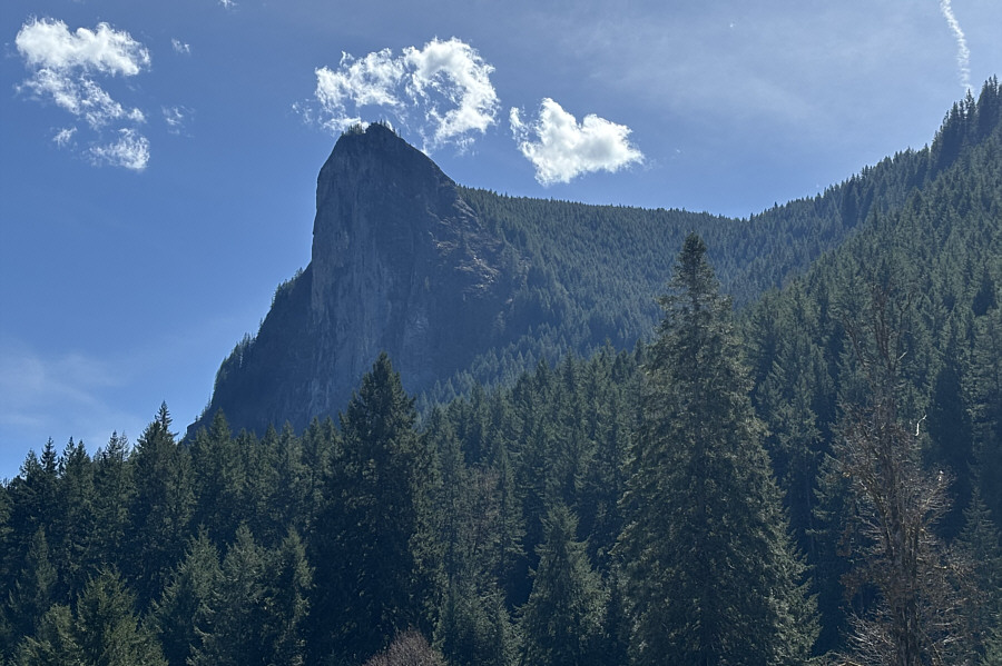 |
Here is a view of Tower Rock from the valley floor to its west. |
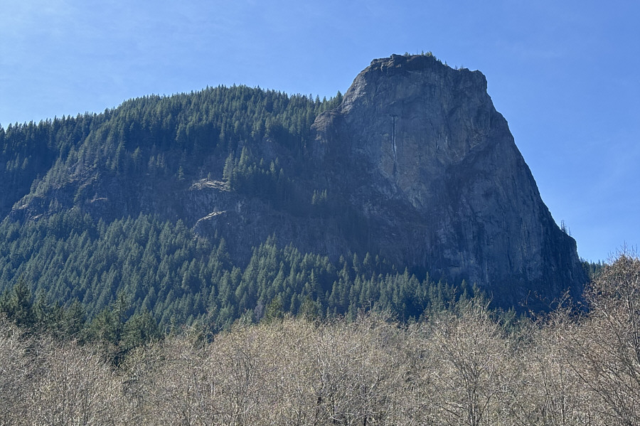 |
Here is another view of Tower Rock from the north side of the valley. |
 |
Zosia begins the hike to Layser Cave with a short descent. |
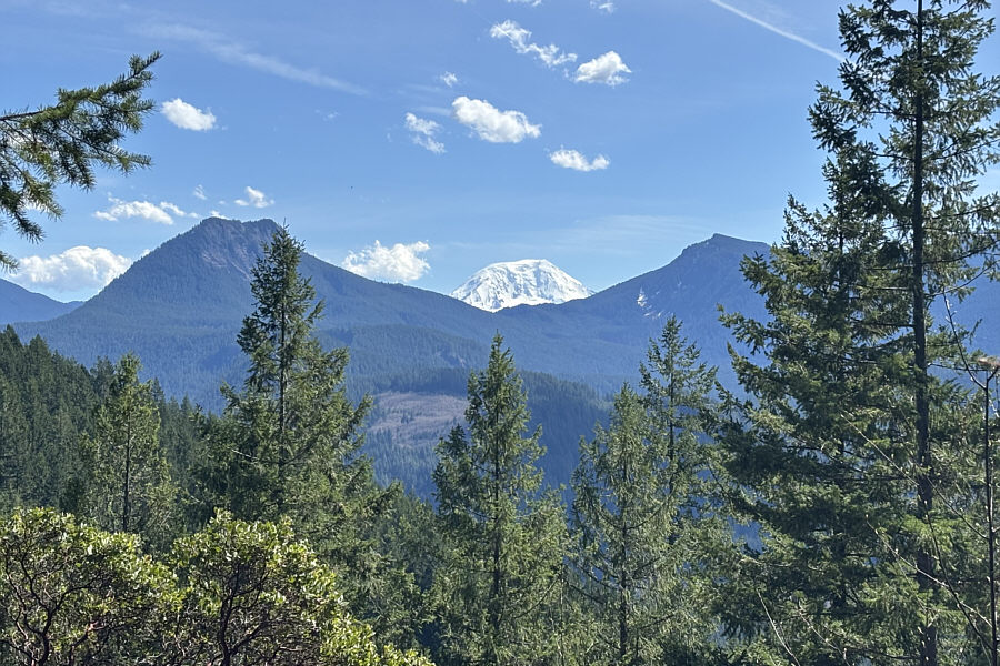 |
A viewpoint near Layser Cave grants this view to the southeast of Tongue Mountain (left) and Mount Adams. |
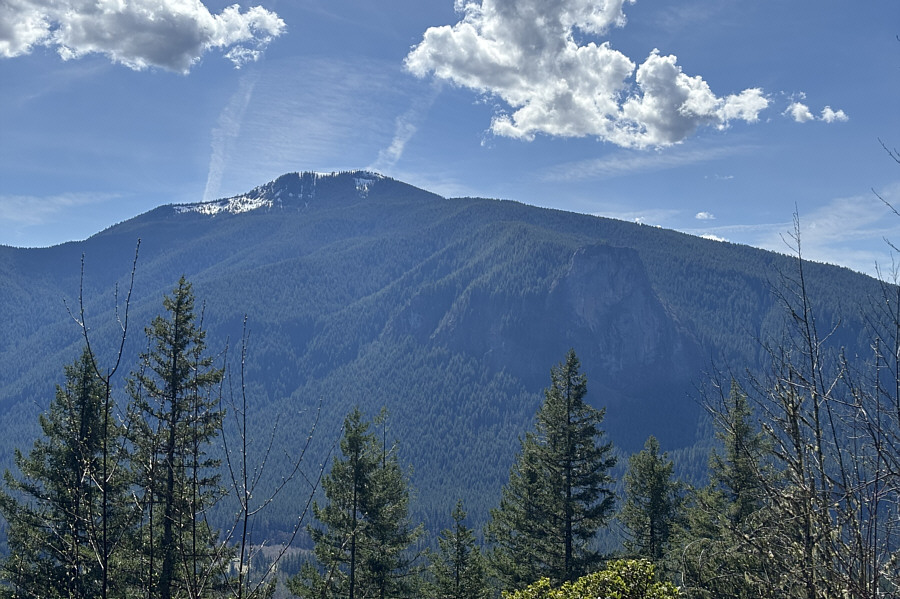 |
From the same viewpoint, Burley Mountain and Tower Rock can be seen to the south. |
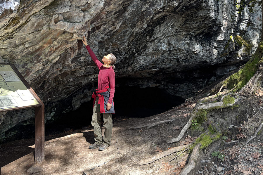 |
Zosia checks out the rock near the entrance to Layser Cave. |
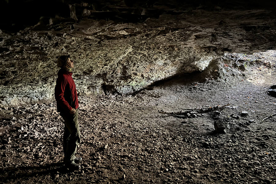 |
The inside of Layser Cave is spacious but does not extend much farther into the slope. |
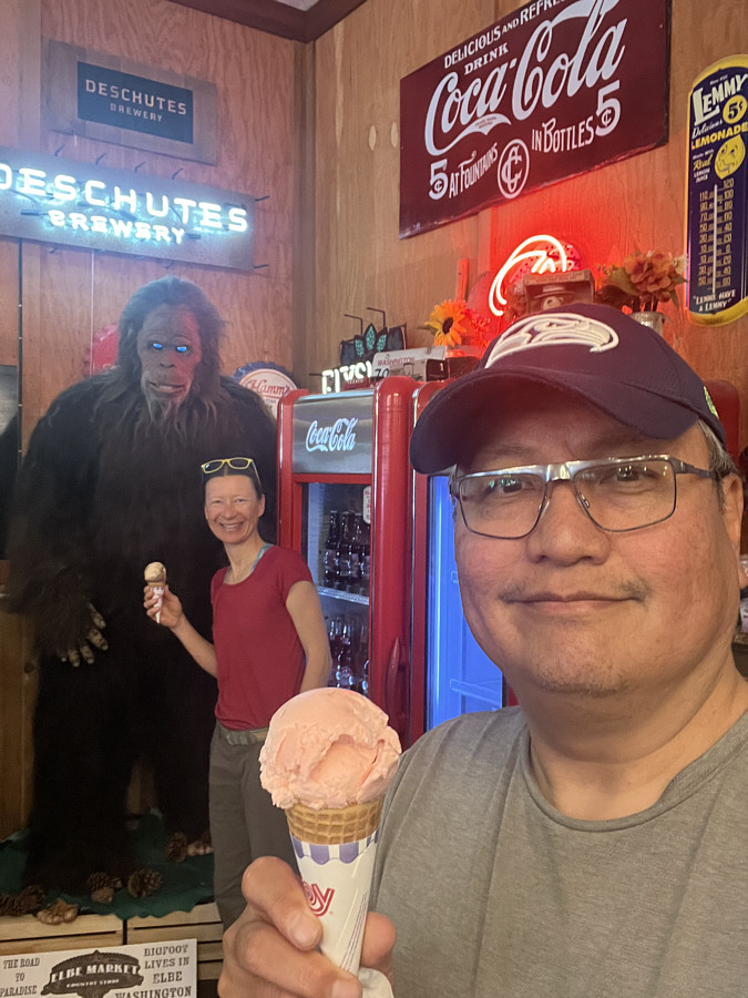 |
Zosia and Sonny enjoy some ice cream with a local resident in the community of Elbe, Washington. |