BOU AVENUE
Wahatis Peak
On our way through central Washington on 5
April 2026, Zosia Zgolak and I set aside a few hours to tag Wahatis Peak,
the highest point of Saddle Mountains which are essentially a long
east-west grassy ridge running between the cities of Othello and Mattawa.
A pretty good road runs all the way to the summit which makes the peak
easy to access and climb. Furthermore, the terrain here is
completely devoid of trees, and far-reaching views are prevalent
throughout the trip from start to finish.
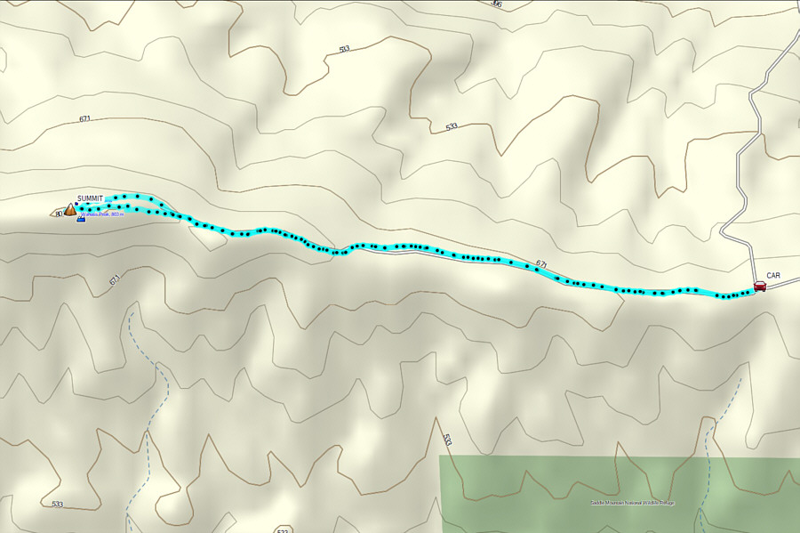
From Washington State Route (SR) 24, turn
north onto a 2WD gravel road about 26.0 kilometres east of the junction
with SR 243 or 29.2 kilometres south and west of the traffic circle with
Bench Road just south of Othello. Drive 3.3 kilometres and cross a
canal on a good bridge. Continue northward for another 3.5
kilometres and veer left at a 3-way junction. From this junction, a
narrower road (high-clearance recommended) runs westward for about 7.5 kilometres
all the way to the top of Wahatis Peak. Although I could have
easily driven much further in my Honda CR-V, we chose to park about 3.0
kilometres short of the summit.
From where we parked, Zosia and I basically
walked the remainder of the road to the summit. Although the gentle
ascent was a bit monotonous at times, the far-reaching views and
abundance of wildflowers helped to keep things interesting. Less
than a kilometre from the top, we spotted what looked like two black dogs
scampering about on the south side of the summit block. We thought
it was unusual for dogs to be in such a remote location but figured that
they maybe belonged to someone who had driven up to the top. When
we reached the summit though, there was no one else in sight, and the
dogs had also disappeared. We later spotted them far down the south
side of the mountain and speculated that they might actually be wolves.
After stopping for a half-hour break just
below the top, Zosia and I took a short cut down the same slope where we
first spotted the wolves. Upon regaining the road, we simply
retraced our steps back to our parked car, and we had no trouble with the
ensuing drive out.
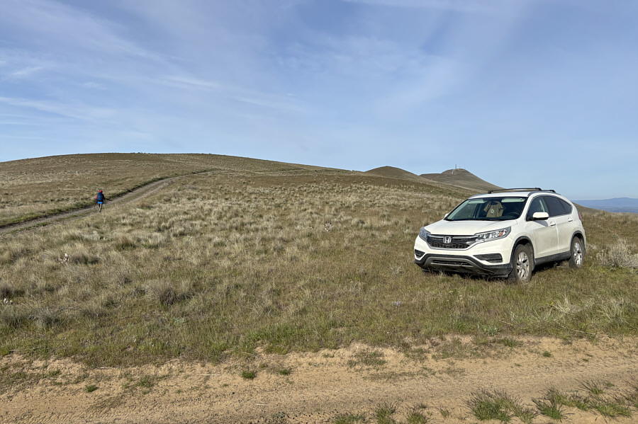 |
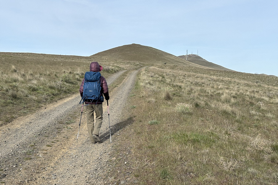
Zosia begins hiking about three
kilometres from the summit of Wahatis Peak. |
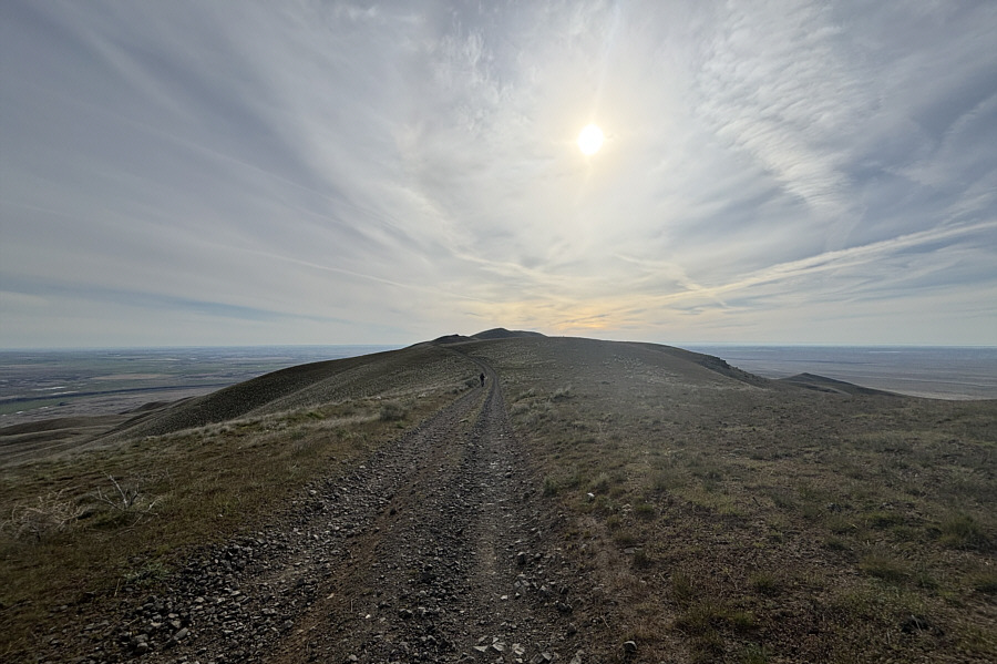 |
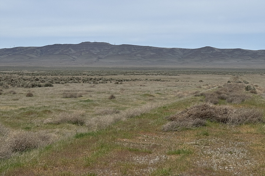
The east ridge is generally broad and flat. |
 |
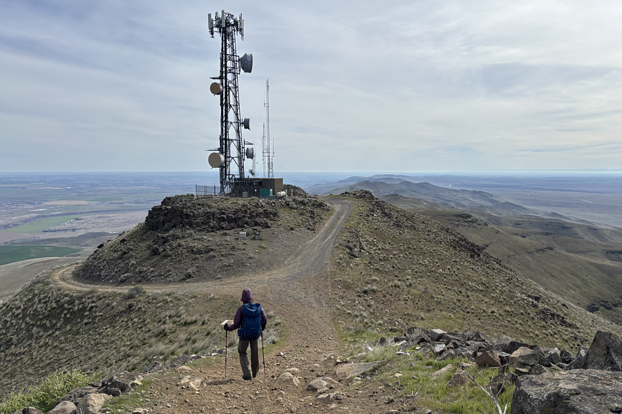
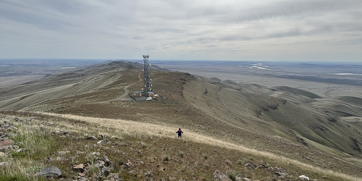
The road is dead easy to follow. |
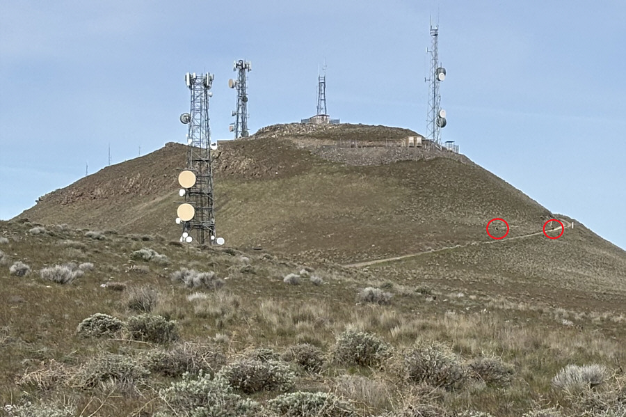 |
In this zoomed-in view of Wahatis
Peak's summit block, there appear to be two wolves (circled) running
near the access road. |
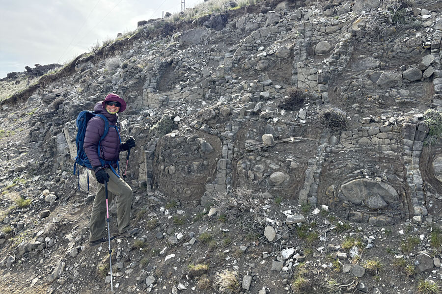 |
Just below the summit are these
unusual rock patterns which may have been formed by a process known
as
spheroidal weathering. |
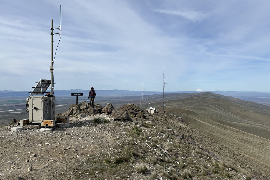 |
Zosia stands in a pile of rocks
on the west side of the summit block. Visible on the distant
horizon are Mount
Adams and Mount Rainier (both snowy white). |
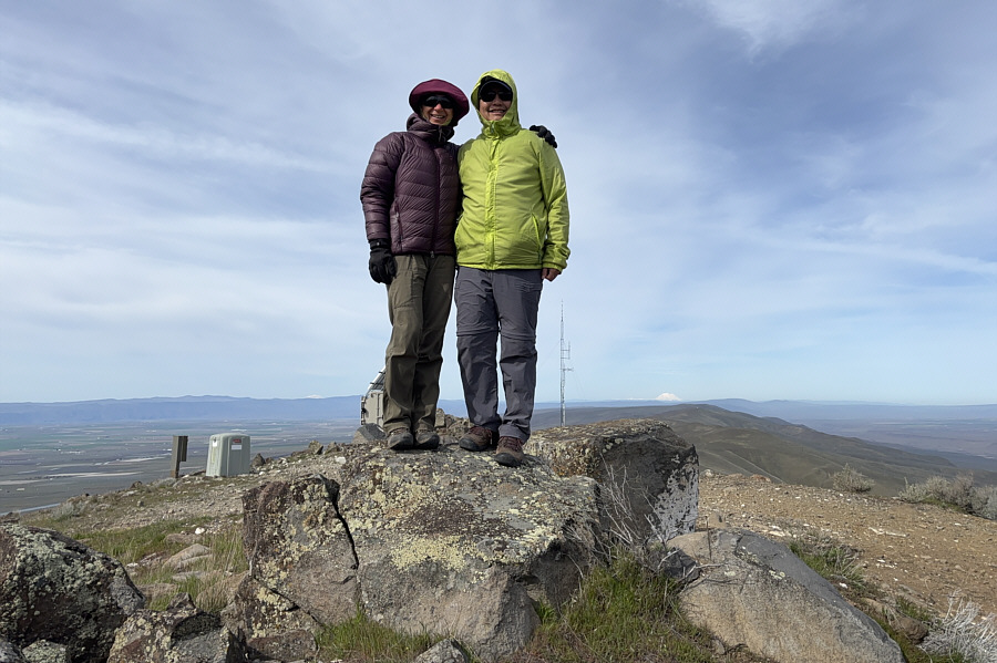 |
Zosia and Sonny stand on the summit of
Wahatis Peak (824 metres). |
 |
Zosia descends to check out the lower
east end of the summit block. |
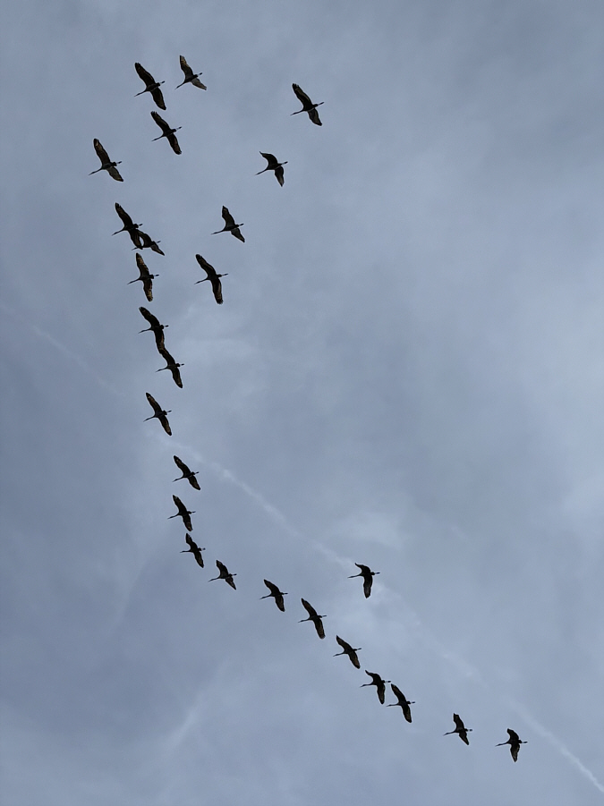 |
A flock of sandhill cranes flies
overhead. |
Zosia takes an off-trail short cut down to the road on
the east ridge.