BOU AVENUE
West Tiger Mountain
Taking advantage of a fabulous weather
forecast, Zosia Zgolak and I hiked up West Tiger Mountain located on the
southeastern outskirts of Issaquah, Washington. West Tiger Mountain
is part of a collection of mostly forested hills known unofficially as
the "Issaquah Alps" which include the higher East Tiger Mountain as well
as a number of other named summits such as Squak Mountain, Taylor
Mountain and
Rattlesnake Mountain. A vast network of trails and roads
crisscross all these hills and provide ample recreational opportunities
for hikers, bikers, runners and dog walkers every day of the week and
probably all year round. West Tiger Mountain itself is comprised of
three separate summits numbered 1-3 which can all be easily tagged in a
single day trip. Besides a plethora of different trails that lead
to the top, there are also multiple different trailheads, but we would
start our hike from the High Point Trailhead (47.52949, -121.99613) which
is accessed from I-90 via Exit 20. Note that a
Discover Pass is required to
park at High Point Trailhead.
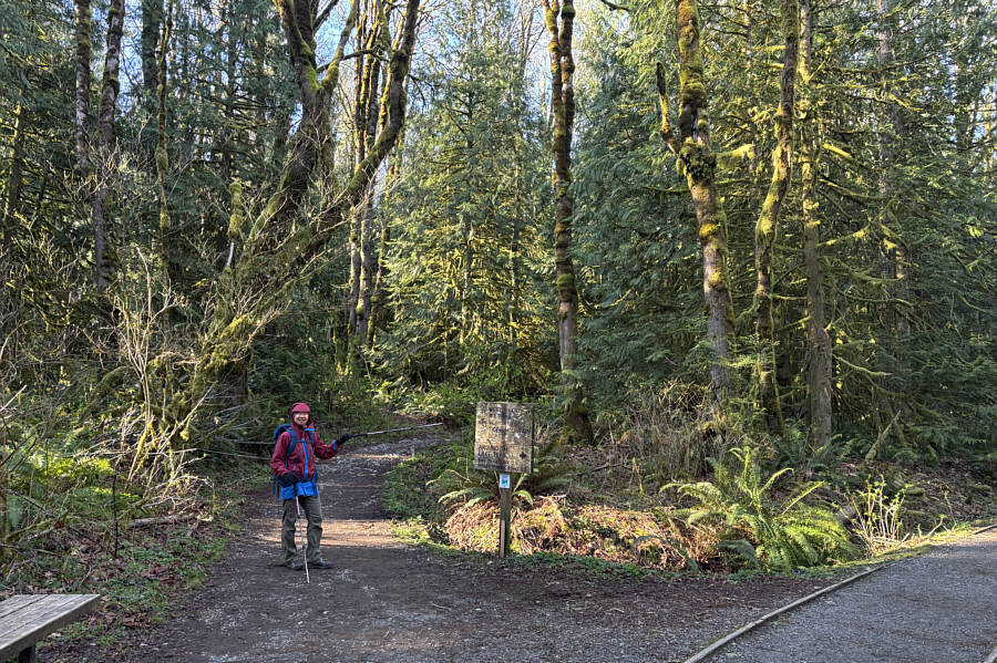
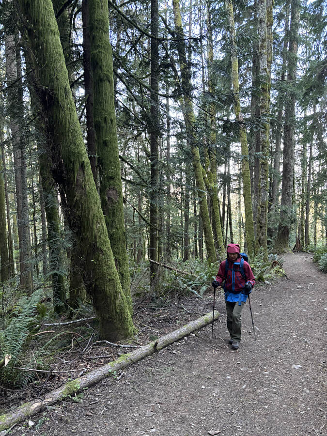
From the trailhead kiosk, Zosia and I
followed signs for West Tiger #3 Trail which climbs moderately but
steadily up a forested slope via about a half dozen or so long
switchbacks. The ascent was straightforward with no route-finding problems, but the
general lack of views throughout made the trail feel longer and more monotonous.
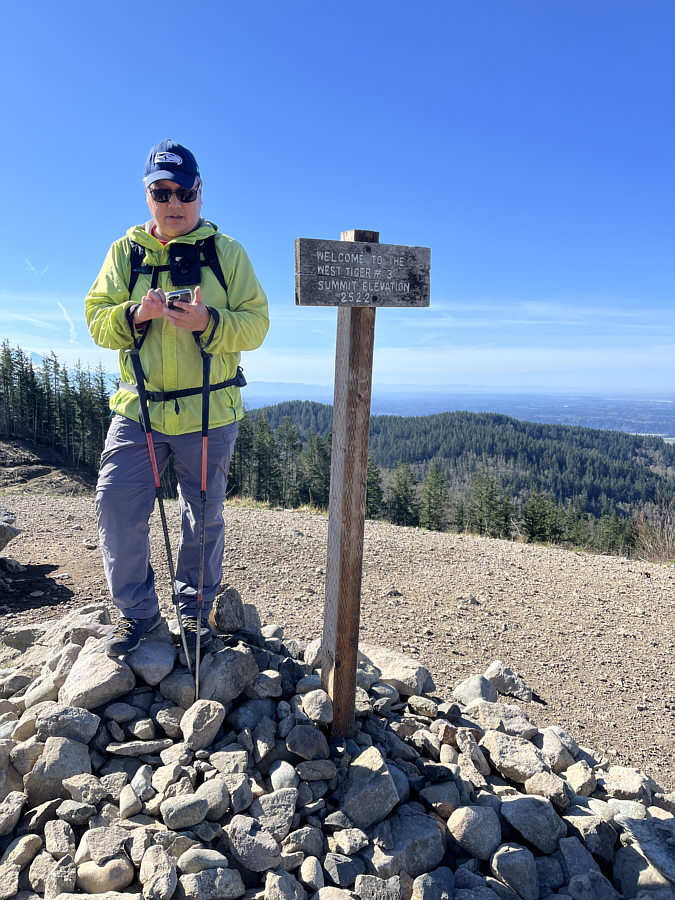
Only at the summit of West Tiger #3 (WT3) were we finally treated to some
far-reaching views. The summit of WT3 was also very crowded, and it
seems that most people end their hike there. We stopped only
briefly before dropping down the south side of the summit block to
connect with a road leading to West Tiger #2 (WT2).The short hike to WT2 was easy and required only minimal extra
effort, and it is surprising that so few people that climb WT3 bother to
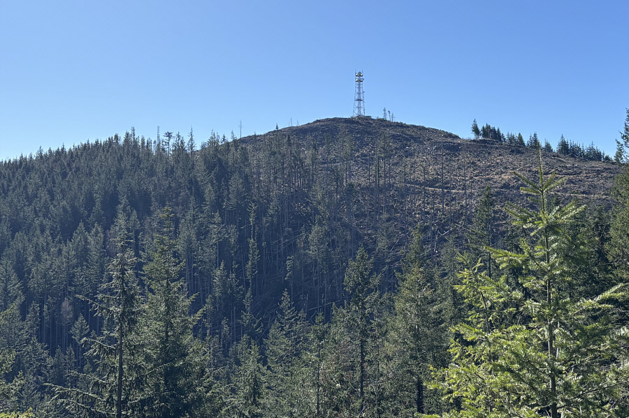
extend their hike here. Sure, the building and antenna atop WT2 are
rather unappealing, but the superior views, especially of Mount Rainier,
more than make up for the ugliness of the telecommunications
infrastructure. Oddly enough, the "summit" sign for WT2 is actually
located beside a bench several metres below the actual summit.
Zosia and I made sure to tag both just to be thorough.
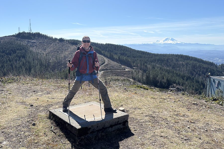 |
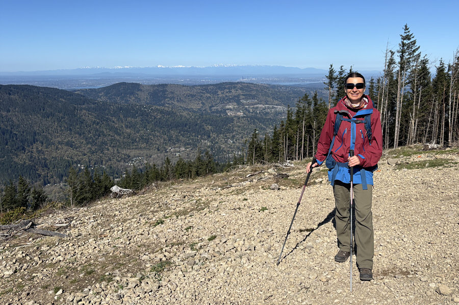
Zosia stands on some sort of service
hatch on top of WT2 (846 metres). Visible at far left is West
Tiger #1 (WT1) while Mount Rainier captures all the attention on the
right horizon. |
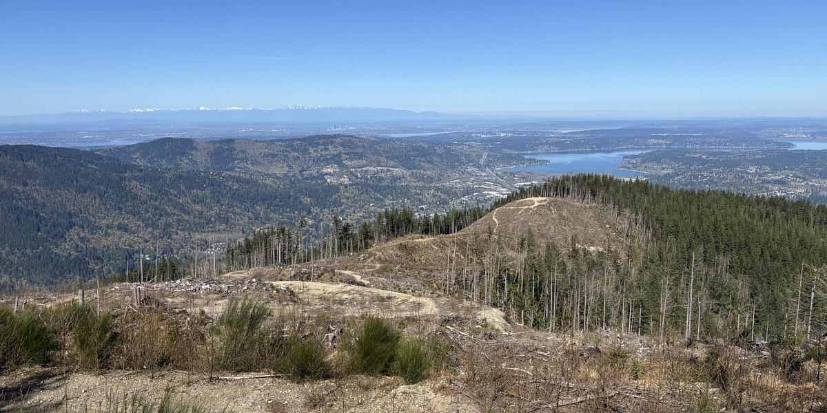
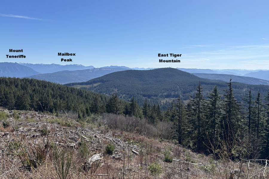
In this view from the top of WT2, Lake Sammamish is
visible behind WT3 (right). Also visible in the distance are the
skyscrapers of Bellevue (right of centre) and Seattle (left of centre).
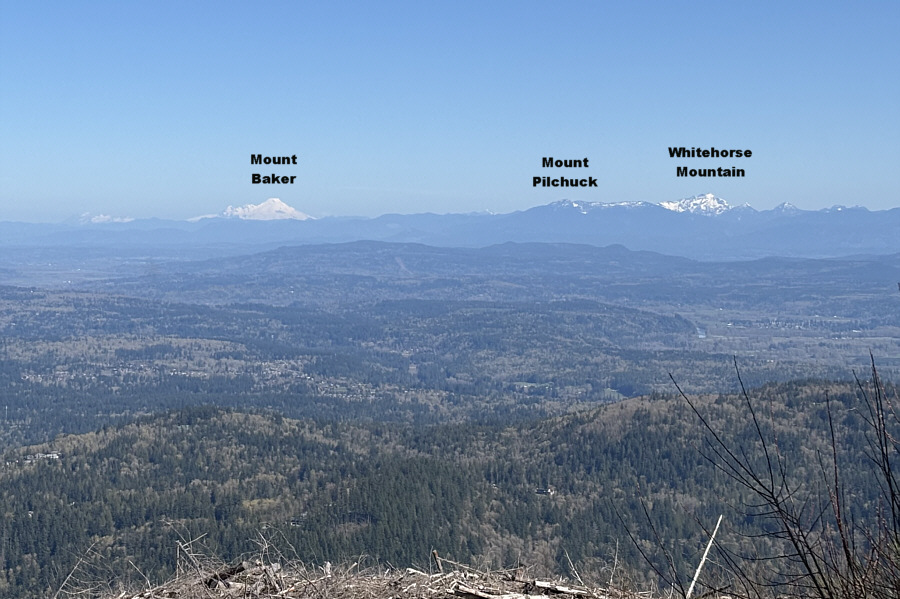 |
Here is the view to the north from
WT2. |
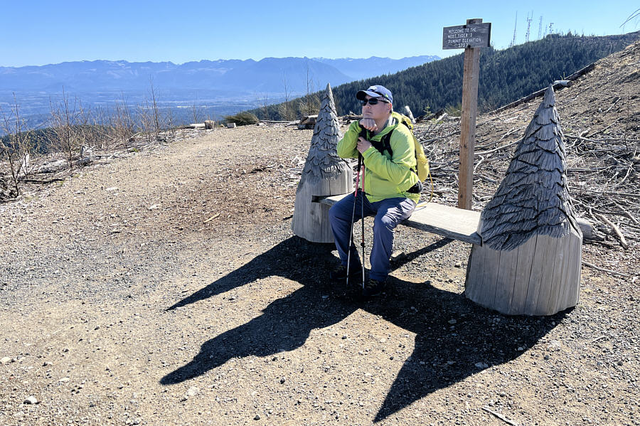 |
Oddly enough, the summit marker for
WT2 is situated at this novel bench about 6 metres below the actual
top.
Photo courtesy of Zosia Zgolak |
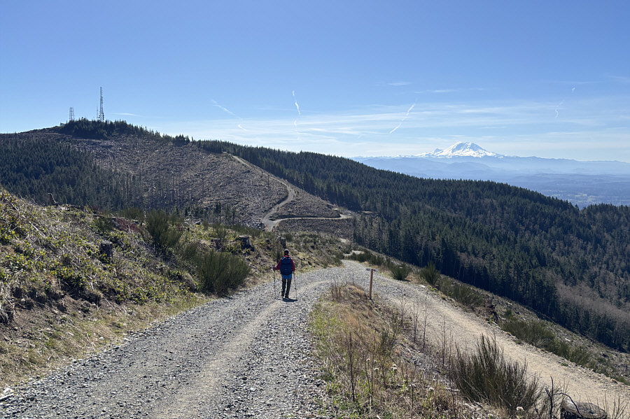
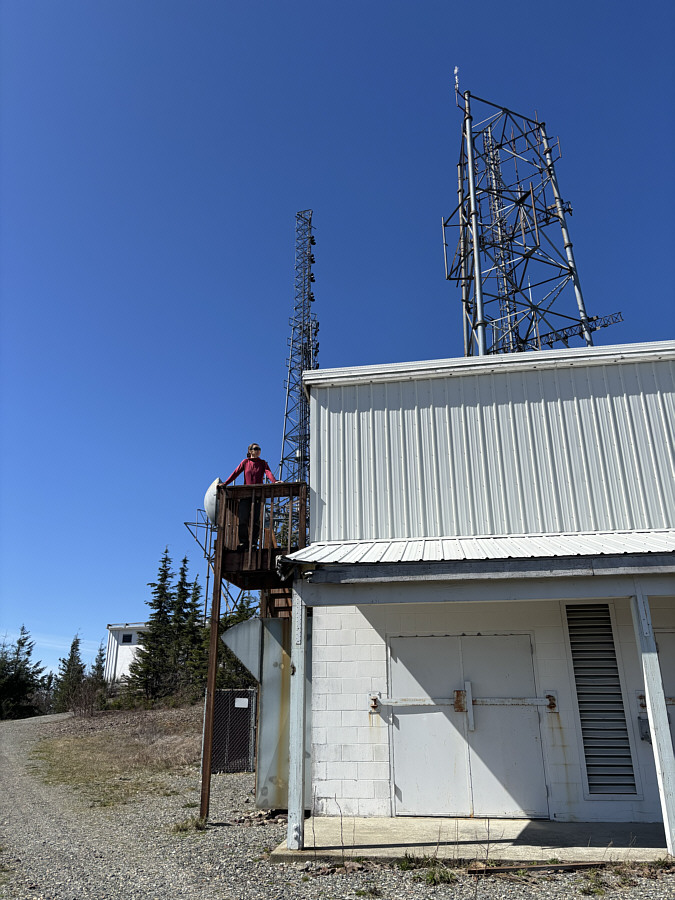
The dip between WT2 and West Tiger #1 (WT1) is much bigger than
the one between WT3 and WT2, and the road leading to WT1 is also longer
and steeper. Otherwise, the ascent of WT1 was still mostly
straightforward except for a locked gate blocking the road about 180
metres short of the summit. A sign here warns about the presence at
the summit of non-ionizing
electromagnetic radiation (NIER) "emissions above minimum threshold
levels", but
NIER (eg.
UV light, microwaves, radio waves, etc.) is generally considered harmless
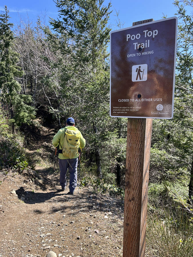
unless exposure is prolonged. In any case, a bypass trail
here--amusingly named "Poo Top Trail"--allows hikers to go around the top
of WT1, but it also allows hikers to easily go around the gate (the fence
on either side is short-lived).
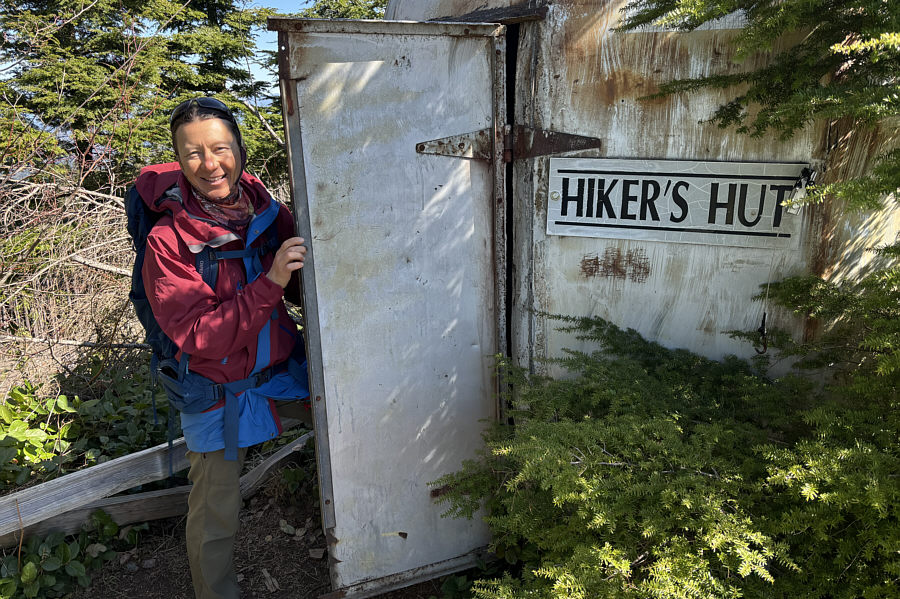
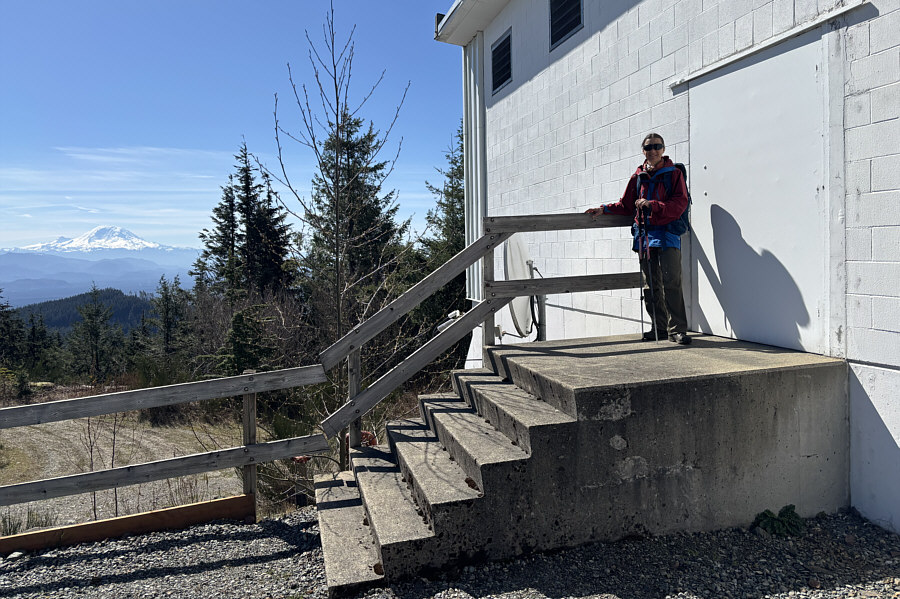
In front of the gate is a small public shelter--labeled "Hiker's Hut"--with some
benches nearby. Many hikers who get this far simply stop here, but Zosia
and I were determined to tag the highest point of WT1. We hiked Poo Top
Trail for about 150 metres before abandoning it to churn up a short but
steep slope and reach a clutter of unfenced buildings. Given the flatness
of the top of WT1, the actual highest point is rather ambiguous, and we
simply picked the concrete porch of one of the buildings as the summit. At least we had a view of Mount Rainier from the porch! Not wanting to
expose ourselves to NIER emissions for longer than necessary though, we quickly
retreated to Hiker's Hut before stopping for a lunch break.For our return, Zosia and I dropped back down the road to the dip between
WT1 and WT2, but instead of continuing on the road, we turned off onto a
trail which basically bypasses WT2. We eventually reconnected with our
original route near the dip between WT2 and WT3. The top of WT3 was a lot
less crowded when we returned, and we stopped here for a short break to
enjoy a last helping of far-reaching views before commencing the remaining
long but unremarkable descent back to the trailhead.
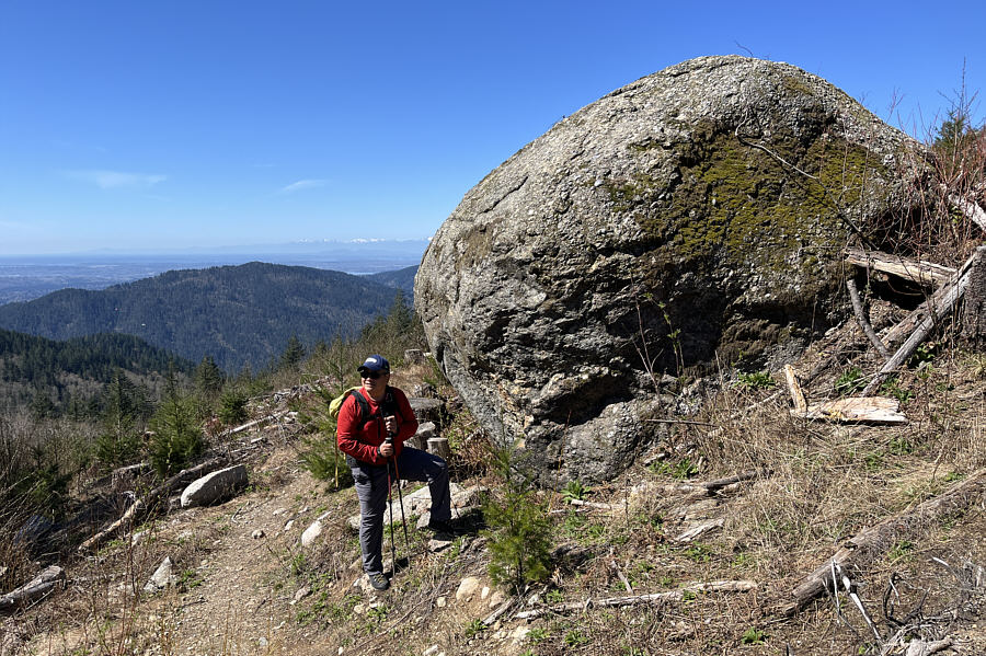 |
On the return trip, Sonny stops beside
a huge boulder which is marked on some maps as "Dramatic Erratic". Photo courtesy of
Zosia Zgolak |
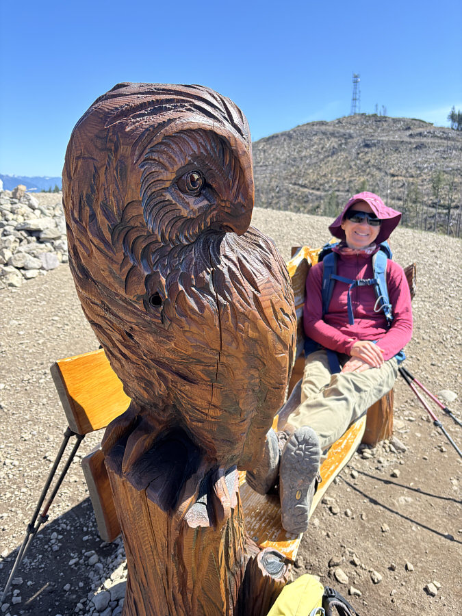 |
Returning to WT3, Zosia takes a break
on a bench with a carved owl. |
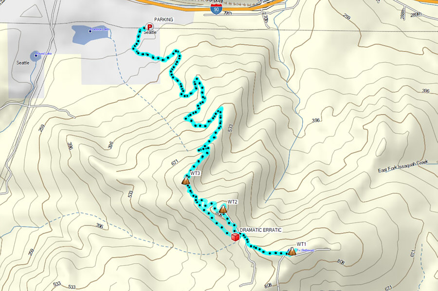 |
Total Distance: 14.3 kilometres
Round-Trip Time: 6 hours 59 minutes
Cumulative Elevation Gain: 827 metres
GPX Data |