BOU AVENUE
Mount Smuts

Dan Millar and I scrambled up Mount Smuts on 12 September 1996.  Our hike to Smuts Pass via Commonwealth Creek seemed lengthy, but that was soon forgotten once we started up the south ridge of Mount Smuts.  Although quite steep in a few places, the entire route was dry, and we made it to the top without any major difficulties.  Opting to try Alan Kane's alternate descent route, we followed the north ridge briefly before turning left and going down a steep gully.  A few sections in this gully presented some interesting challenges for us, but with some care and diligence, we eventually made it down to the scree slope below.  From there, we easily hiked back to Smuts Pass and out.
Mount Smuts 
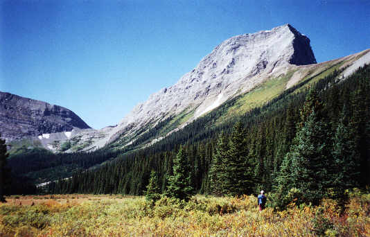
This is the view of Mount Smuts from Commonwealth Creek.  Smuts Pass is at left.
Doesn't look so bad... 
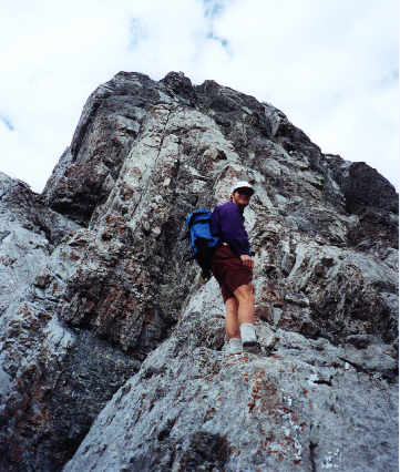
This is where the real fun begins!
Hopefully we're not coming back down this way! This is the 'meat' of the scrambling up Mount Smuts' south ridge.
Couldn't have been that tough if Sonny made it! 
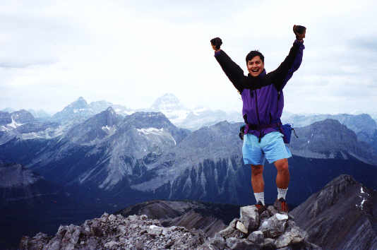
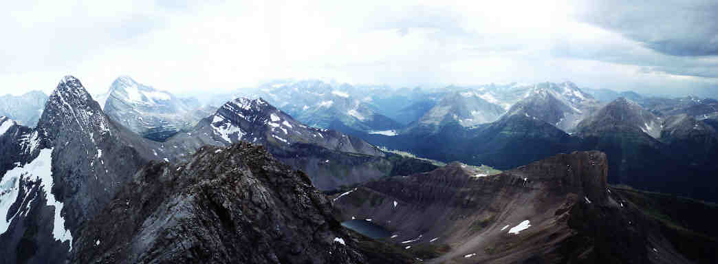
Sonny reaches the 2938-metre summit of Mount Smuts.  Mount Assiniboine is visible in the hazy distance.  Click here for a view to the southwest.  Click here for a view to the northwest.
Enough pictures!  Let's eat! 
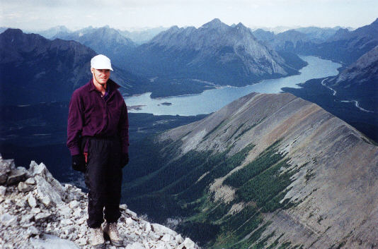
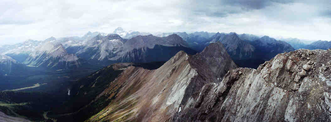
Tent Ridge, Spray Lakes Reservoir and Mount Nestor are some of the more prominent landmarks visible to the north.
Stemming technique. 
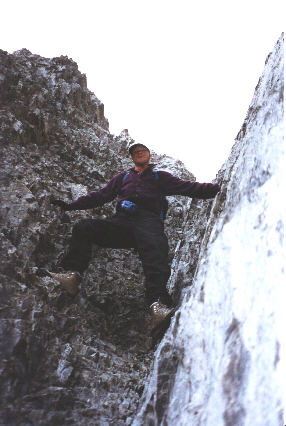
Dan works his way down the steep gully.
Almost past all difficulties... 
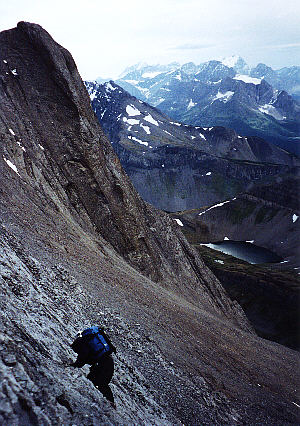
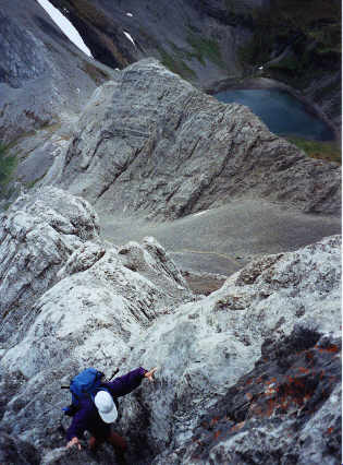
Dan carefully descends some steep slabs lower down.  One of the Birdwood Lakes is visible.
We must have been nuts to come down that way! 
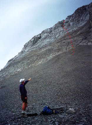
The approximate descent route is shown.