BOU AVENUE
Mount Nestor
On 12 October 1996, Dan Millar, Lyle Thiele, and
I attempted to scramble up Mount Nestor (2975 metres) at the south end
of the Goat Range dividing Banff National Park and Kananaskis Country.
The weather was cold and snowy that day, and upon reaching the crux near
the top, we realized that the summit was realistically out of reach.
Disappointed, we turned around and headed down.
On 7 July 2001, Dan Millar and I returned
under much more favourable conditions to finish the climb. Despite
the closure of the West Shore Road, we reached the trailhead after only
a 30-minute bike ride. This time, we chose to ascend the parallel
gully which Alan Kane describes as a "pleasant variation" for the descent
in his book, Scrambles in the Canadian Rockies (1999, Rocky Mountain
Books). With this route being nothing more than a steep hike, we
reached the summit ridge without any problems. The crux looked a
lot different in dry conditions and under sunny skies. We easily
got across and soon were standing on the true summit. Although the
remainder of the trip was anticlimactic, the bike ride back to the parking
lot was surprisingly refreshing.

|
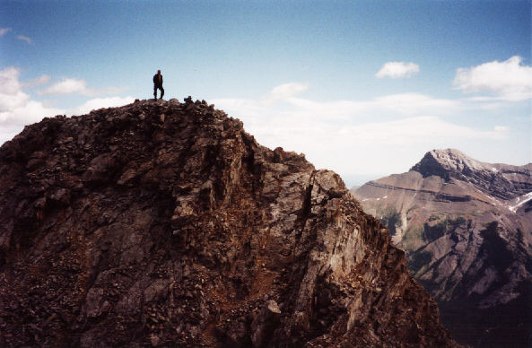
This is the crux as it looked on 12
October 1996.
|

|
Five years later, the route looks
a lot more reasonable.
|

|
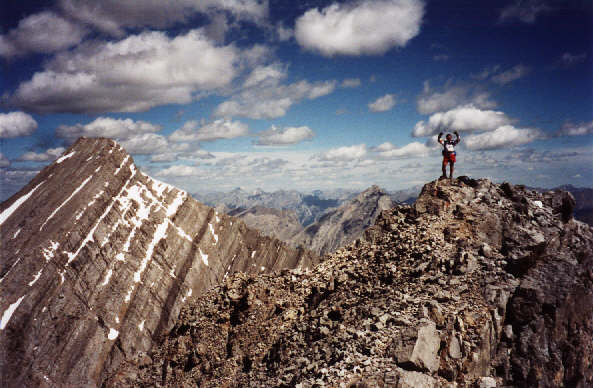
Sonny raises his arms in triumph upon
reaching the summit of Mount Nestor. That is Old Goat Mountain at
left.
|

|
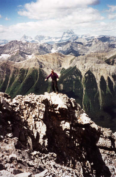
Mount Assiniboine is the eye-catching
peak in the distance.
|

|
Most of the peaks of the British
Military Group are visible across the Spray Lakes Reservoir. At center
is the infamous Tent Ridge Horseshoe.
|


