BOU AVENUE
Top Of The World Provincial Park
Dan Millar, Kelly Wood, and I headed to Top Of The World Provincial Park (TOTWPP) in the East Kootenay region of British Columbia  on 19 July 2001 for a four-day camping trip.  The toughest part of the trip was having to drive some fifty kilometres of bumpy, narrow logging roads to the trailhead.  Once there, we hiked the easy trail to Fish Lake (the core area of TOTWPP which includes a campground, cabin, and ranger station) where we set up camp.  We had some problems with the bear pole at the campground as the ropes used for suspending food were all hung up at the top.  After several futile attempts by Dan and me using everything from a dead tree to my Swiss army knife, Dan finally managed to drag the ropes down by affixing a loop of wire (which he always brings along on trips into the backcountry) to the end of Kelly's walking stick and twisting the loop around the knots at the end of the ropes.  After securing our food, we took a leisurely stroll around the lake before having curried chicken for dinner and turning in for the night.
Where's a boat when you need one?
Dan and Kelly stand on the dock in front of the cabin at Fish Lake.  Behind them can be seen the route up the scree slope to the Alpine Viewpoint (col).
The next day (20 July 2001), on the suggestion of the ranger on duty, we decided to try and hike a circuit going over the Alpine Viewpoint east of Fish Lake, around a minor ridge to the southeast, and back to the lake via Summer Pass in the south.  The hike up to the Alpine Viewpoint begins on a good trail which climbs up through forest before emerging near the bottom of a gigantic scree slope.  A beaten path continues on up, but near the cliff bands guarding the entrance to the Alpine Viewpoint, this path steepens and deteriorates into a horrible treadmill of loose rocks.  A ramp rises up over the cliff bands and eventually widens on the final approach to the top.  Although the ramp was dry when we scrambled up, I noticed a couple of eroded sections where a slip could have resulted in a deadly plummet over cliffs below.  After a brief stop at the Alpine Viewpoint (actually a col), we wandered further south over open terrain which included boulder fields, grassy meadows, larch trees, and karst pavements.  This is a wonderfully sublime area which conveys a genuine feeling of remoteness.  As the afternoon wore on, we were still looking for a route to Summer Pass when all of sudden, we came upon a steep drop-off high above the Summer Creek valley.  Somehow, we had wandered much further to the south, perhaps even outside the park boundaries.  More importantly, there didn't appear to be any feasible way to get to Summer Pass from where we were.  Rather than risking a dangerous descent down unknown terrain, we opted to turn around and return the way we came.  As disheartening as it was to backtrack all the way back to the Alpine Viewpoint, the return trip didn't actually take as long as we thought it might.  Still, the long haul back to camp took its toll on us, and we were thankful to have a huge pasta dinner that night before retiring to our tent for a well-deserved sleep.
What a slog!
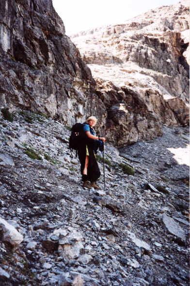
Kelly works her way past the cliff bands just below the Alpine Viewpoint.
Staying on top of things.
Dan scrambles atop a minor summit near the Alpine Viewpoint.
This is where the real hike begins!
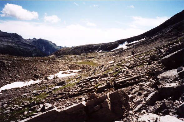
The terrain beyond the Alpine Viewpoint is rocky but open.
Wow.
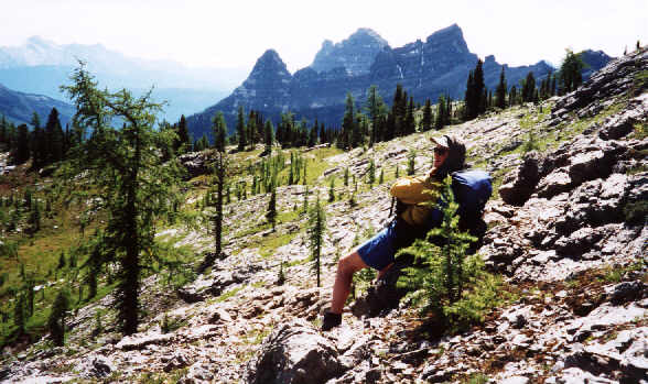
Rounding the bend, Dan is greeted by a stunning view of Chrysler Peak (pointy one at left) and Empire State Peak (massive one further back).
Congratulations!
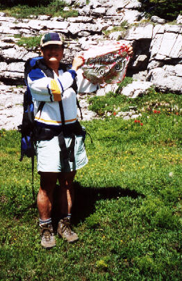
Even way out here in the middle of nowhere, we humans have a terrible knack for leaving traces of ourselves...in this case, a lost wedding balloon.
Wow (part two).
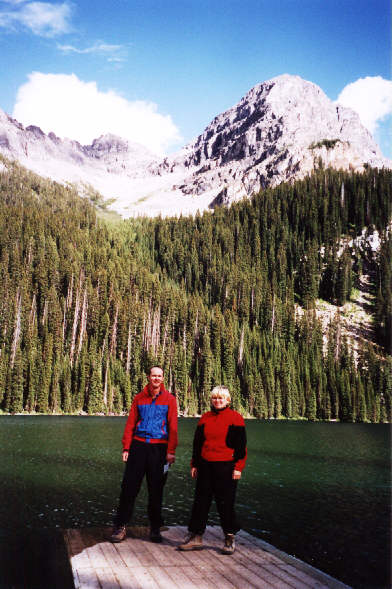
Mount Morro (2912 metres) dominates the eastern skyline.
Suddenly, this isn't so fun anymore.
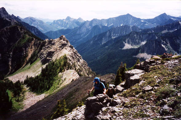
This is as far as we got in trying to complete the circuit back to Summer Pass.  Notice the steepness of the slope of the ridge in sunlight.
The following day (21 July 2001), we hiked to Sparkle Lake, a beautiful tarn tucked away high up near the ridge southwest of Fish Lake.  Unfortunately, we had little time to lounge about as a thunderstorm was quickly moving into the area.  It rained fairly hard during our descent from Sparkle Lake, but by the time we reached camp, the rain had stopped.  We spent the rest of the day relaxing around the campground.  Dan cooked a delicious vegetarian chili dinner that night, and we sat around a small campfire for the rest of the evening.
Quick, take the pic, and let's get the hell outta here before the thunderstorm hits!
Sparkle Lake
Okay Dan, you can have 'june' for your Triple Word Score.
Sonny and Dan go mano a mano in a game of Scrabble.
On 22 July 2001, we quickly struck camp and departed Fish Lake and TOTWPP.  On our drive out, we stopped at the Lussier Hot Springs just inside White Swan Provincial Park.  Although our camping trip wasn't overly strenuous, it was still refreshing to take a dip both in the hot pools and the icy waters of the Lussier River.
Not bad for free!
Kelly and Dan soak their feet in the shallow pools of the Lussier Hot Springs.