BOU AVENUE
Copperstain
As the first leg of our week-long hiking 'vacation'
in British Columbia, Dan Millar, Kelly Wood and I backpacked into the Copperstain
campground in Glacier National Park on 25 August 2002. The campground
is situated near the park's eastern border and is the gateway to a large
expanse of subalpine meadows collectively known as Bald Mountain.
The price of admission is either a really expensive helicopter ride to
the Purcell Lodge or, more in our
price range, a free 16-kilometre trudge (with about 1200 metres height
gain) up a rather monotonous trail. <WARNING:
Rant Mode ON> Actually, the Copperstain backcountry campground
still cost us $18 per night ($6 per person) which gets you a wooden deck
to pitch your tent on (hope your tent isn't too big and doesn't require
pegs to support itself), bear poles to cache your food, some primitive
benches to cook dinner on (no fires allowed), and a plastic throne pit
toilet (hope the bugs aren't biting and it isn't raining). Considering
that it only costs $14 per night for us all to camp at the Illecillewaet
Campground (near Rogers Pass) which has spacious gravel tent pads, bear-proof
food lockers, picnic tables, cooking shelters, flush toilets, clean running
water and free firewood, something is definitely out of whack with the
National Park fee scheme. The Copperstain campground is also very
close to the park boundary beyond which anyone can simply pitch a tent
and camp randomly for free! My advice for those that want to visit
Copperstain: camp for free on the other side of the boundary sign
but use the campground for its pit toilet and to cook dinner and store
food. </Rant Mode OFF>
Although much of
the trail into Copperstain is in the trees with limited views, we were
kept intrigued (at least for the first few kilometres) by the great cedar
trees and the variety of interesting plants and fungi closer to the ground.
Just after the turn-off to go up Grizzly Creek, there is a public shelter
which contains a bunk bed (consider sleeping here only under desperate
circumstances), a couple of folding chairs (very handy for a rest stop),
an assortment of cookware, tools and survival gear (including a portable
shower), a register for hikers to sign, and, on one of the windows, a couple
of photo stickers of the Jackson
5. What more could one ask for in a vacation cottage? About
4 kilometres before the campground, the views open up as the trail passes
through a vast burnt section of forest. There is a warden's cabin
in this area, and although the cabin is generally locked up, the outhouse
(a nice one even) on the hill in behind is open for anyone in need of relief.
As mentioned already, the Copperstain campground is situated near the park
boundary which also happens to be the watershed between Copperstain Creek
and Spillimacheen River. On a small knoll at the boundary is a large
sign containing some park regulations, a topographical map, and some trapped
dead bugs.

|
Kelly hikes through the burnt forest
near the headwaters of Copperstain Creek.
|
The following day, 26
August 2002, we hiked up Bald Mountain for a good look at the peaks of
the Sir Donald Range. Although we could have wandered about the meadows
for many hours, Dan and I wanted to scramble up Copperstain Mountain located
just southeast of the campground. We marched past the rather posh
Purcell Lodge on our way back to the boundary sign, but we didn't stop
to chat with anyone or buy any desserts. While Kelly returned to
the campground to enjoy a good book, Dan and I hiked to the summit of Copperstain
Mountain (about 600 metres height gain from the campground) to enjoy a
good look.

|
Copperstain Mountain dominates the
view across the valley.
|

|
From L to R are Terminal Peak, Sir
Donald Galcier, Mount Sir Donald, Uto Glacier, Uto Peak, Eagle Peak (almost
hidden by Uto Peak), Avalanche Glacier and Avalanche Mountain.
|

|
The ascent route for Copperstain Mountain
follows its northwest ridge.
|

|
Sonny stands on the 2606-metre summit
of Copperstain Mountain.
|

|
The expansiveness of the Bald Mountain
meadows are best appreciated from the summit of Copperstain Mountain.
|
On 27 August 2002, we
simply packed up camp and headed back to the trailhead without much fanfare.
In retrospect, we were quite fortunate to have generally clear weather
at Copperstain. Without the outstanding views from the meadows of
Bald Mountain and the summit of Copperstain Mountain, the long slog up
Grizzly and Copperstain Creeks would not have been worth the effort.
I would be interested to see what the approach from the Spillimacheen River
is like. Furthermore, I would be interested to see what the approach
via helicopter is like...

|
The Phallic Mushroom
|
|
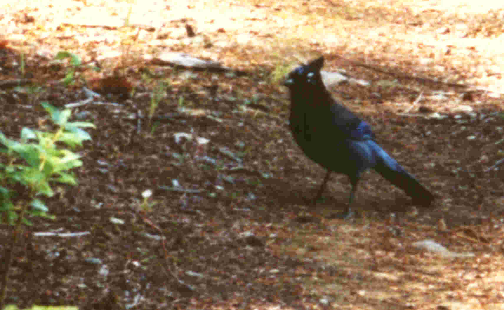
This Steller's Jay led me down the
trail for the last few hundred metres before the parking lot.
|