
After snapping a few photographs at the
summit, I followed Kane's suggested "quick descent" route. Despite some
unexpected route-finding challenges, I was able to safely find my way
down to the creek bed and out to the highway. My round-trip time
was less than six hours.
|
|
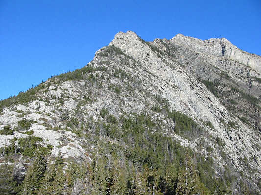
This is the view of Mount Crandell from Bear's Hump. |
|
|
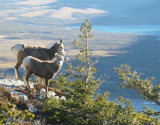
These two sheep stand as motionless as statues. One looks down the ridge while the other stares directly at the camera. |
|
|
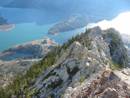
This is looking back down the ridge to the Prince of Wales Hotel far below. |
|
|
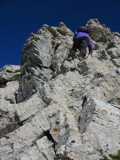
Sonny scrambles up an easy rock band. |
|
|
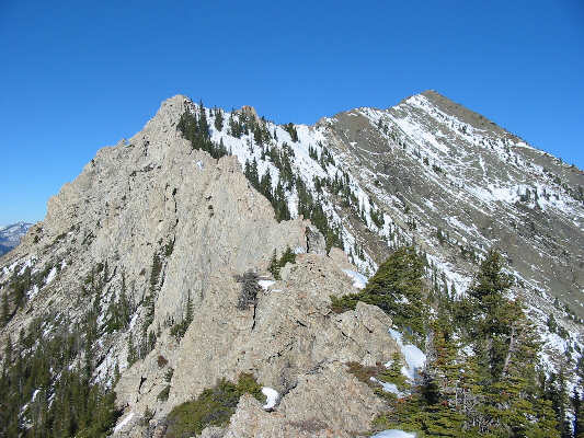
In the foreground is the "airy cockscomb" as described by Kane. The true summit is hidden behind the false summit seen at upper right. |
|
|
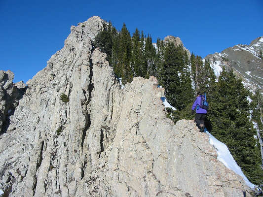
Sonny walks along the crest of the cockscomb. |
|
|
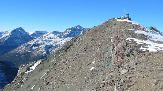
The true summit, partly occupied by a radio repeater station, is finally in sight. |
|
|
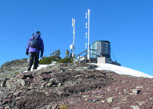
Sonny takes the last few steps to the summit. |
|
|
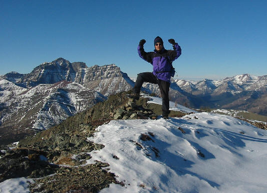
Sonny stands on the 2378-metre summit of Mount Crandell. Mount Blakiston and Ruby Ridge are visible at left. |
|
|
This is the view of Upper Waterton Lake from Mount Crandell's summit. The big peak at left is Mount Cleveland (3190 metres). |
|
|
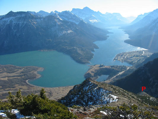
This is the view of Middle and Upper Waterton Lakes from Kane's descent route. The "jutting promontory" described by him is labeled. The route follows a gully just to the left of the promontory. |
|
|
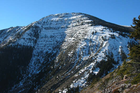
This is looking back up to the summit of Mount Crandell from the descent route. |