BOU AVENUE
Crater Mountain
Crater Mountain is a modest 2293-metre peak located about 70 kilometres southwest of Penticton, British Columbia.  Access is via a rough forestry service road (FSR) which requires a vehicle with good clearance and a driver with patience and determination.  On 5 May 2004, Kelly Wood and I drove up the Crater Mountain FSR for about 8 kilometres before parking in a rocky clearing just before a sign.   We continued on foot up the road which from this point on was increasingly choked with snow and deadfall.  Near tree line, we abandoned the road and simply scrambled up the grassy hillside to a false summit.  We then followed an easy connecting ridge to the true summit of Crater Mountain.  Because of the snowy weather, we didn't linger too long at the top.  Instead, we retreated halfway back along the connecting ridge before dropping down south-facing grassy slopes to regain the road.  Hiking back through the deep snow on the road was no picnic, but we eventually returned to our car after a round-trip time of 5 hours (not including the 20-30 minutes one-way on the FSR).
Not much to see so far! 
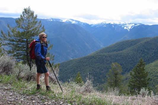
This is one of the first viewpoints encountered along the road.
Looks like the summit... 
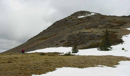
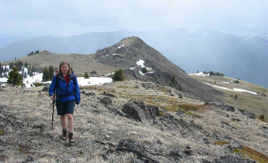
Kelly approaches the false summit.
Easy scrambling! 
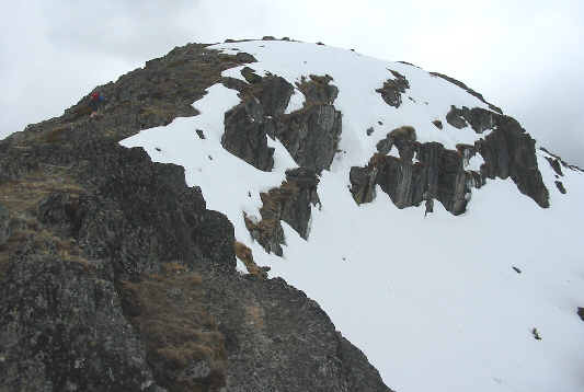
Kelly (barely visible at upper left) scrambles the last few metres to the top of the false summit.
Ugh!  Not there yet! 
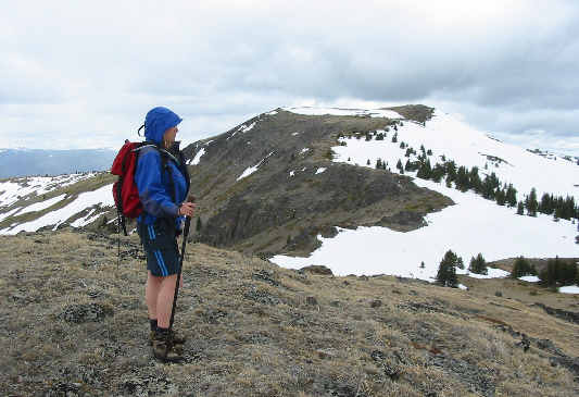
From the false summit, Kelly surveys the connecting ridge to Crater Mountain's true summit (right side of flat top).
Bad fishing! Partway along the connecting ridge, Sonny checks out a mostly dried up tarn.
Almost there... This is looking east toward the false summit from just below the true summit.
All we need is a deck of cards! 
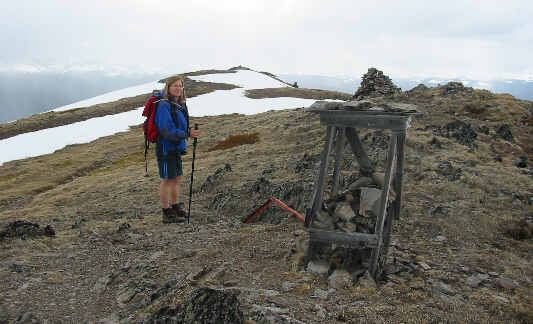
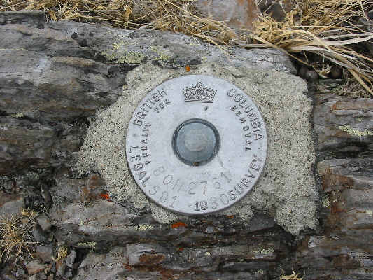
Kelly arrives at the true summit.  Click here to see the survey marker which is located near the cairn.
Need a bath? 
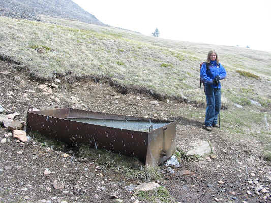
A water trough sits incongruously on the grassy slopes just below the connecting ridge.
Some other day perhaps... In the distance can be seen some of the peaks in the Cathedral Lakes area.