BOU AVENUE
GR279343
Just west of the Eau Claire campground in Kananaskis Country is a striking rock fin located at GR279343.  Having driven by this unnamed minor peak on countless occasions, I had always wondered if it would be possible to scramble up.  On 19 September 2004, I drove out to the now-defunct Fortress Ski Area to give GR279343's south ridge a try (the north ridge looks much more technical).  Starting from the parking lot, I searched around a bit for a beaten path, but finding none, I basically plunged into the bushes and made a beeline for the peak.  I spent the next two hours thrashing through some rather unpleasant terrain as I dropped into the dip between the ski area and the peak's south ridge.  At one point, I got so turned around in the bush that I ended up going in a circle.  When I finally gained the south ridge, travel was still somewhat difficult until I reached tree line.  Other than some narrow sections near the top that only feel airy, the scrambling on the south ridge is generally easy, and I made it from tree line to summit in about 25 minutes.  After signing the register and taking a few photographs, I reluctantly headed back down the south ridge to face another tortuous bushwhack back to my car.  The return trip didn't take as long, but it was still miserable nonetheless (round-trip time 4.5 hours).
Misery ahead... 
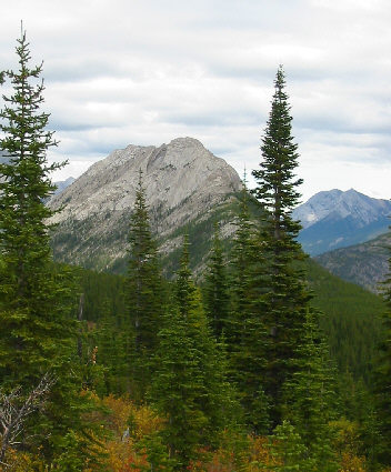
In this view from near the ski area, GR279343 is about 3 km away.  Getting across the intervening dip entails a height loss of about 100 metres.
The Fortress and Gusty Peak 
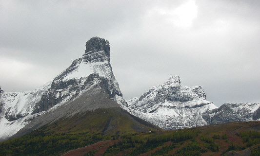
A clearing along the south ridge grants this great perspective of The Fortress.  At right is Gusty Peak.
A welcome relief from all the bushwhacking! 
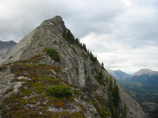
The remainder of the route from tree line is straightforward.
Opal Ridge 
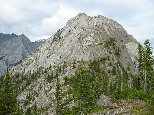
This is Opal Ridge as seen from the south ridge of GR279343.
Almost there! This is the last part of the south ridge before the summit.  Visible in the distance at far right are the twin unnamed peaks at GR322455.
Watch that drop-off on the left! 
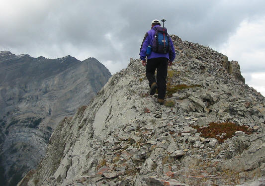
Sonny takes the last few steps to the summit (about 2180 metres).
Was it worth all the bushwhacking?  Hmmm... Sonny is already dreading the return bushwhack.  Both peaks of Mount Kidd are visible in the background.
This register is in a glass jar in the summit cairn. 
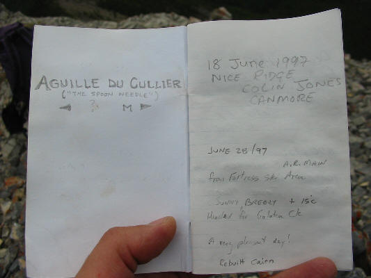
The summit register refers to GR279343 as "The Spoon Needle".  The French version should technically be written Aiguille de la Cuiller or Cuillère.  Interestingly, the similarly spelt culière means "hind girth" or "horse's rump"!
All that green down there looks inviting... 
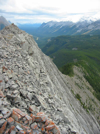
This is looking back down the south ridge from near the summit cairn (upper left).
Message from aliens??  Looks like a fish skeleton! 
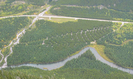
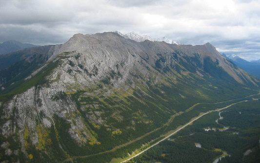
This is Eau Claire campground and the Kananaskis River as seen from the south ridge.
Certainly looks impressive from this angle! This is GR279343 as seen from the south on Highway 40.  Rain clouds shroud both peaks of Mount Kidd in behind.