I got up late as usual on 2 August 2004 and drove out to the Hidden Creek trailhead as described in the 1993 edition of Backcountry Biking in the Canadian Rockies by D. Eastcott and G. Lepp. After fording the Oldman River right off the bat at 9:49 AM, I rode and pushed my mountain bike for the next twelve kilometres along the Hidden Creek Road. This was probably one of the worst bike rides I've ever had in the mountains. The killer hill just after the initial ford is so steep and rutted that it is virtually impossible to ride in either direction. I also scraped my knee when I wiped out going down the other side of this hill. On this day, there were so many big, deep mud holes in the road that I was usually on my bike for only a few minutes before having to stop and make a tedious detour. Several fords and a few boggy swamps further on merely reinforced my desire to never ride this road again. The road is marginally better for the last couple of kilometres before it dead-ends at a creek. The Great Divide Trail (GDT), marked by red blazes on trees, splits off to the right about 100 metres before this dead-end. I actually missed this junction on the way in and had to backtrack to find it. I left my bike here and proceeded up the trail at 12:15 PM.
After the rough bike ride, hiking the well-maintained GDT was a real treat. At 1:10 PM, I emerged from the trees to get my first good look at the south slope of Tornado Mountain. The GDT, rather indistinct at this point (some cairns only), goes up and over a notch separating Tornado Mountain and its southern outlier. It took me another hour to reach this notch where I was greeted by a stiff breeze and some unimpressed sheep. From the notch, I climbed up the south slope of Tornado Mountain on easy scree at first and then on increasingly steep slabs. Further up, I veered over to the southwest ridge and followed it up (very enjoyable hands-on scrambling) to the base of the final summit block. From there, I traversed eastward briefly before heading directly up the middle of the south face. I reached the summit at 4:15 PM.
The summit register was soaked and practically disintegrating in my
hands. It was probably just as well since I couldn't think of any
words that rhyme with 'tornado' for my usual limerick. After
snapping some photographs, I left the summit at 4:45 PM. My descent
down the middle of the south face was not without some difficulty, but I
managed to get back to the notch without a scrape. Retracing my
steps along the GDT, I got back to my bike at 7:00 PM. The return
bike ride seemed less miserable than the trip in (except for the
cruel push up the last hill before the trailhead), and I was back at my
car by 8:30 PM.
|
|
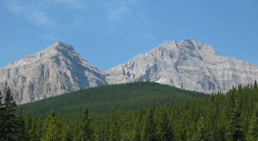
In this view from Hidden Creek Road, Tornado Mountain is at right while its eastern outlier is at left. |
|
|
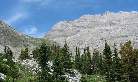
This is Tornado Mountain as seen from the southeast. The GDT goes up to the notch at left. The summit is the second bump to the right of the notch. |
|
|
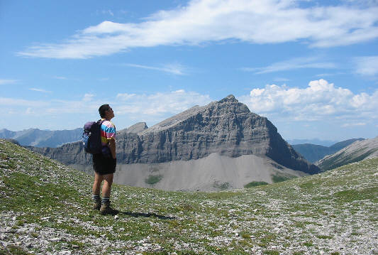
Sonny reaches the notch just south of Tornado Mountain. The peak straight ahead is unnamed and guards the west side of Tornado Pass. |
|
|
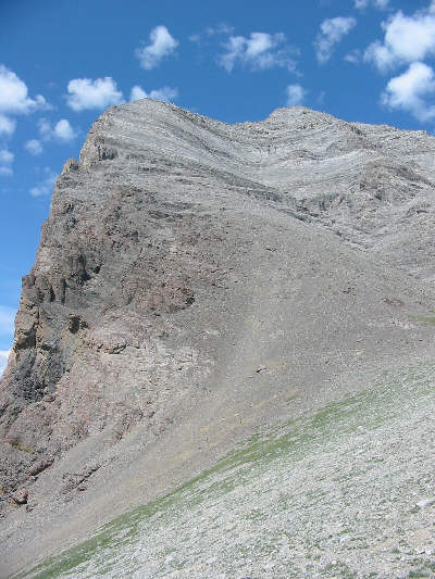
This is the south face of Tornado Mountain as seen from the notch. |
|
|
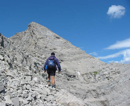
Sonny approaches the final summit block. |
|
|
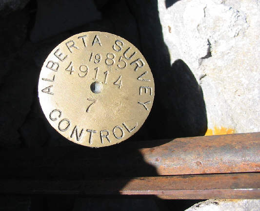
This is the survey marker at the top of Tornado Mountain. |
|
|
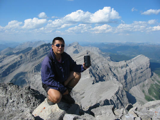
Sonny holds up the summit register canister. This view is looking north. |
|
|
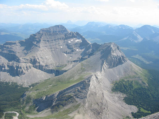
Gould Dome dominates the view to the south. Barely visible in the hazy distance is Crowsnest Mountain. |