


Because
of some haze in the air, the views of Mount Forbes and Freshfield
Icefield from Mount Sarbach's summit were somewhat disappointing, but the
weather was so nice that I stayed there for well over an hour (or more
likely it took me that long to think of a limerick for the summit
register) before reluctantly beginning my long descent. After
bypassing the false summit, I essentially retraced my steps back down the
north ridge. Descending below the first notch, I thought I was
pretty much home free, but as if the scrambling deities weren't going to
let me bag such a big peak without exacting some sort of penance (and as
if 1630 metres of height gain and numerous difficult cruxes weren't
enough), I completely missed the lookout site and somehow ended up in a
bushy avalanche gully further south of the access trail. Feeling a
little annoyed, I headed north and powered my way through the undergrowth
until I finally stumbled upon the trail; now I was home free. Climbing the last 40
metres out of Mistaya Canyon, I passed a group of tired kayakers slowly hauling
their kayaks and gear up to the trail head. I didn't speak to any
of them, but I wondered what adventures they had that day and if
those were as exhilarating as my scramble up Mount Sarbach (12 hours
round-trip).
|
|
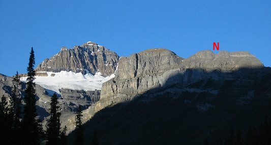
This is the view of Mount Sarbach from the trail head. The letter N marks the second (more difficult) notch. |
|
|
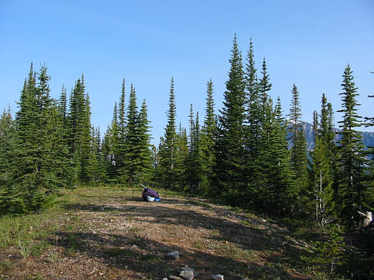
This is the former fire lookout site. |
|
|
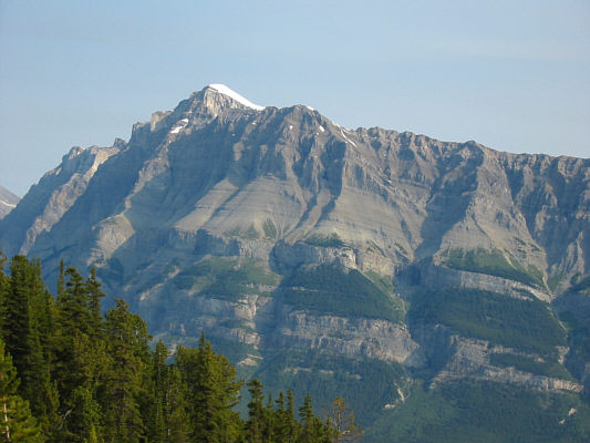
There is a clearer view of Mount Wilson higher up the slope behind the lookout site. |
|
|
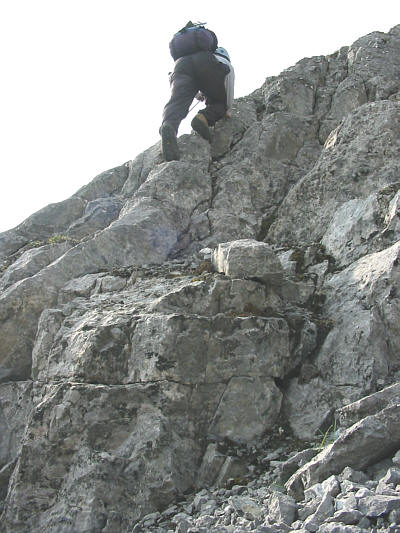
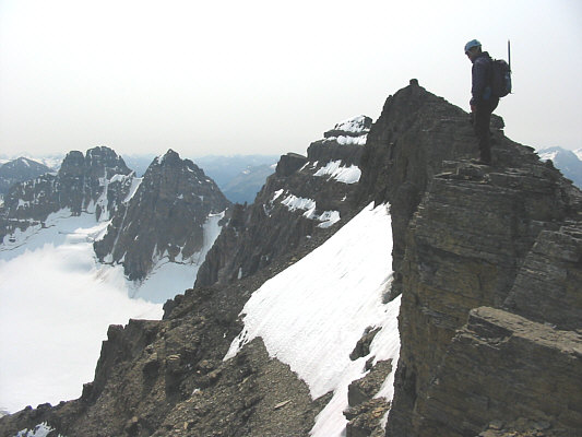
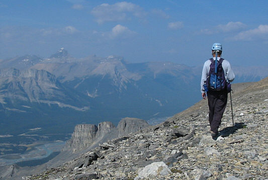
Just past the first notch, Sonny scrambles up to the ridge crest. |
|
|
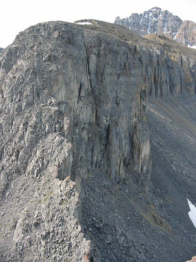
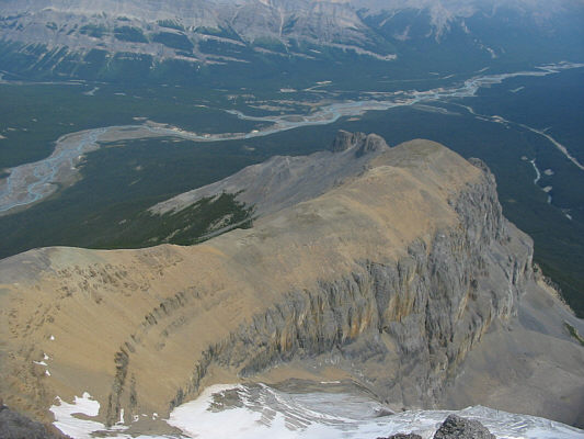
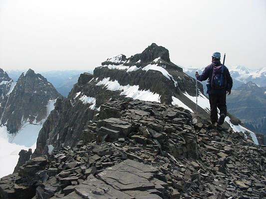
Behind Sonny is Mount Sarbach's long north ridge. This photo illustrates why Kane advises scramblers not to "be lured into easier looking gullies angling down" from the ridge on descent. |
|
|
This is looking across the second notch. |
|
|
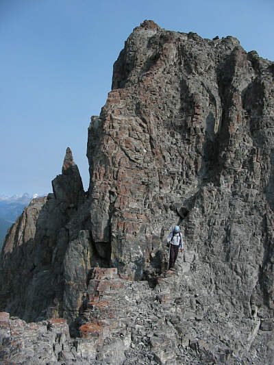
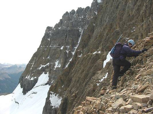
Sonny descends the difficult chimney. |
|
|
Sonny reaches the bottom of the chimney (in shadow). |
|
|
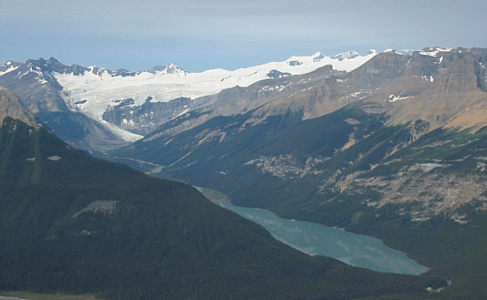
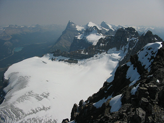
From the ridge, there is already a nice view of Glacier Lake and Lyell Icefield. |
|
|
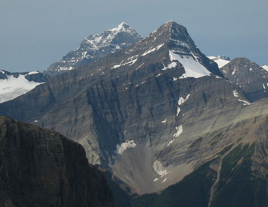
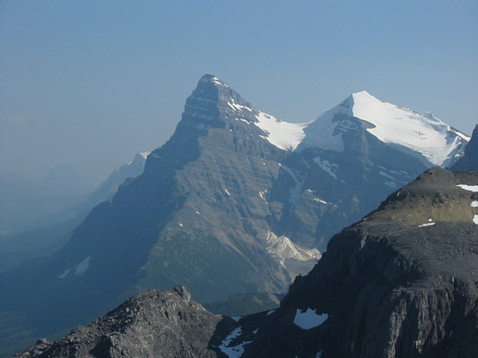
Mount Forbes (3612 metres) pokes up behind Mount Outram (3240 metres). |
|
|
Sonny crosses the "football field-sized plateau". |
|
|
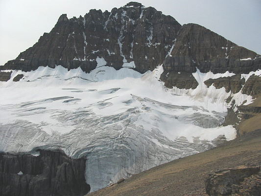
Here is a closer look at the glacier hugging the face below the false summit of Mount Sarbach. |
|
|
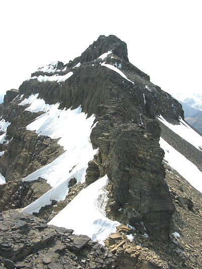
Sonny scrambles up the steep ridge leading to the false summit. |
|
|
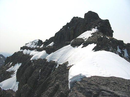
Getting past the upper part of the ridge requires some route-finding. The nipple at right is the true summit. |
|
|
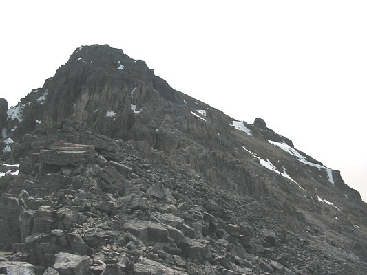
This is looking down at the broad north ridge of Mount Sarbach. |
|
|
Sonny approaches the top of the false summit; the nipple here is a cairn. At left are the Kaufmann Peaks (3109 metres). |
|
|
Leaving the false summit, Sonny heads for the true summit in the distance. |
|
|
This is the view of the connecting ridge to the true summit. |
|
|
This is the summit block of Mount Sarbach. Note the footprints in the snow (a party of three climbed the peak six days earlier). |
|
|
Sonny takes the last few precarious steps before the summit. |
|
|
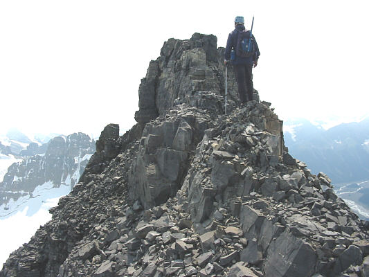
Sonny plants his foot triumphantly on the true summit cairn of Mount Sarbach (3155 metres). |
|
|
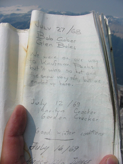
Mount Sarbach's summit register is almost as old as Sonny! In fact, the register's staples have rusted and completely disintegrated. Thankfully, Sonny is still going strong! |
|
|
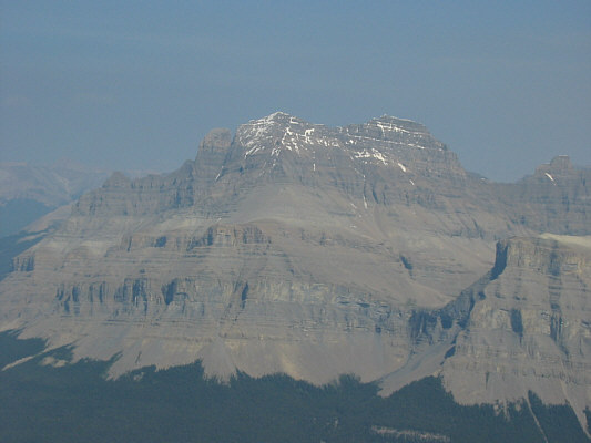
Dominating the view to the east is Mount Murchison (3333 metres). |
|
|
At centre in the distance behind Epaulette Mountain (3095 metres) are Mount Chephren (3266 metres), White Pyramid (3275 metres) and Howse Peak (3290 metres). |
|
|
Despite the haze, Mount Forbes still looks impressive to the west. |
|
|
Sonny heads back along the north ridge. The big peak on the horizon at left is Mount Cline (3361 metres). |
|
|
Here's another look at Mount Chephren and White Pyramid. |