After stopping briefly in Canmore, Alberta to pick up some
clothes that I had left behind at Mystic Springs Chalet the previous
weekend, I ditched my ski boots in favour of my hiking boots and
scrambled up GR320583, a diminutive bump on the south side of Trans
Canada Highway about 2.5 kilometres northeast of Heart Mountain.
Despite its low elevation (about 1725 metres), GR320583 has more to it
than meets the eye, and I quite enjoyed the interesting ascent up the
west face (about 425 metres height gain from the highway). My round
trip time was 2 hours and 35 minutes, and a lot of that time was spent
playing around with my camera.
|
|
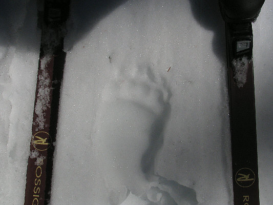
This is one of the paw prints I encountered as I skied partway up the trail to Burstall Pass. |
|
|
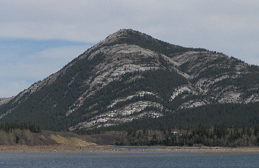
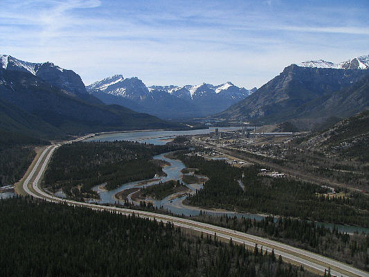
This is GR320533 as seen from the west across Lac des Arcs. |
|
|
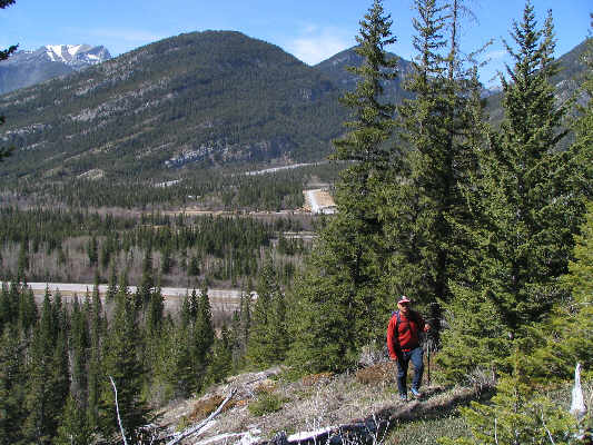
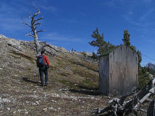
Sonny hikes up the lower slopes. Exshaw Mountain is visible across the highway. |
|
|
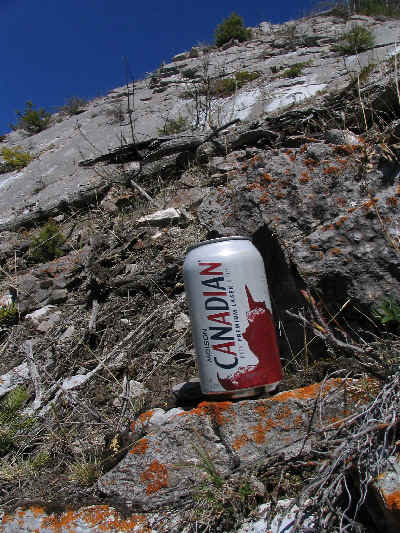
Instead of flagging tape, much of the route up the west face of GR320533 is marked by empty cans of Molson Canadian. |
|
|
The view to the west includes (L to R) Pigeon Mountain, the Three Sisters, Mount Lawrence Grassi, Ha Ling Peak and Grotto Mountain. At centre is Lac des Arcs. |
|
|
Here is a close-up view of Mount Fable to the northwest. |
|
|
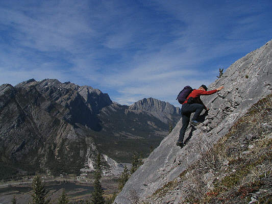
Sonny finds some interesting slabs to scramble up. |
|
|
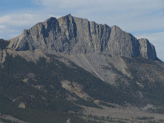
Here is a close-up view of Mount John Laurie (Yamnuska) to the north. |
|
|
Near the summit of GR320533 is the "biffy-shaped hut" as described by Gillean Daffern. |
|
|
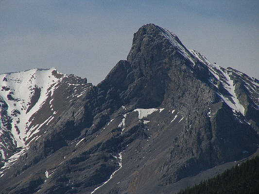
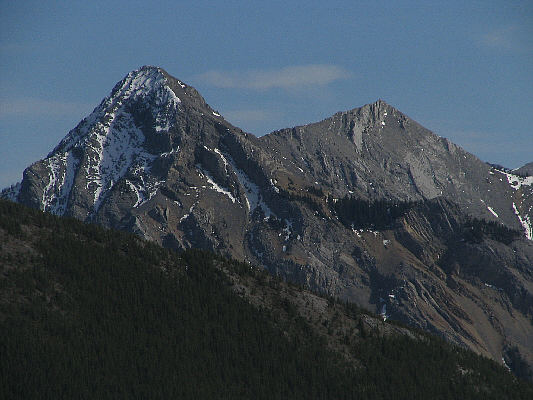
Here is a close-up view of Mount Baldy to the southeast. |
|
|
Sonny relaxes in the warm sun at the top of GR320533. |
|
|
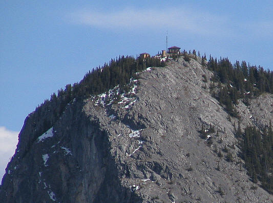
Here is a close-up view of Barrier Lake Lookout. |
|
|
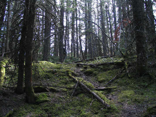
Not far below the top of GR320533 is this quiet, moss-carpeted forest--a place of unexpected serenity. |