


Just as I took my first steps toward Little Highwood Pass, I was accosted by a group of elderly hikers coming down from Pocaterra Ridge (the ridge walk, not to be confused with the Kane scramble) who in their exuberance were less than satisfied with my simple greeting of "Hi." "Are you all by yourself?" asked one gentleman. "Yes," I answered as truthfully as I could. The gentleman persisted, "Do you know where you're going?" "Maybe," I replied evasively. In fact, I did not know exactly where the east face route breaches the ridge crest, but I had a feeling these hikers would not know either. Inevitably, I was barraged with directions on how to get up Pocaterra Ridge interspersed with superlatives on how beautiful it was up there and that there were twenty other people coming down behind them. Yeah, now I really wanna go up Pocaterra Ridge. I quickly changed the topic of conversation to the nice weather, and that seemed to appease them enough to let me go on my merry way.
Heading north toward Little Highwood Pass, I began angling up scree
slopes to the base of the lower cliff bands. The aforementioned
gully looked feasible to ascend, but I opted to save it for the descent
and instead tackled the rock rib just to the left of it. Once I got
above this section, the rest of the east face route became apparent.
I scrambled up a mix of slabs and rubble until it was feasible to simply
hike (to climber's left) through a breach in the upper cliff bands to
gain the ridge crest. From there, I continued for another
forty-five minutes along the remainder of Kane's route (more challenging
than his moderate rating would suggest) to the main summit. I spent
about thirty minutes at the summit doing my usual chores and occasionally
eyeing with some nervousness the storm clouds rolling over Mount Tyrwhitt
to the south. My descent was fast and mostly trouble-free. I
found a lot of good scree to surf down the east face route, and only the
gully, which is very loose and slippery, presented any difficulties.
Soon after I descended to the draw south of Little Highwood Pass, snow
and rain began to fall. Except for a lone moose, I saw no one else
on the hike out (round-trip time of just over 5.5 hours). The moose
did not even wait for me to say "Hi" before it disappeared into the bush.
Moose know better than to talk to strangers!
|
|
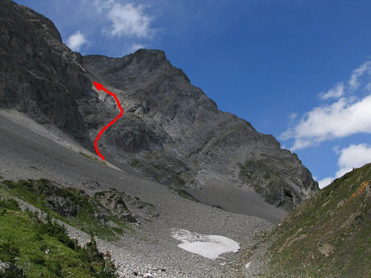
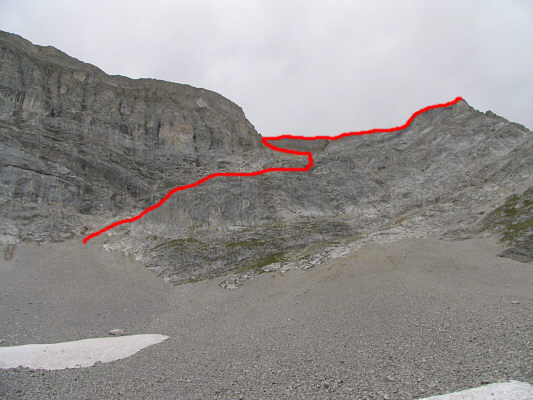
This is looking up at Mount Pocaterra from Pocaterra Cirque. Little Highwood Pass and Pocaterra Ridge are just out of view to the right. The access route is shown. |
|
|
Here is a closer look at the weakness in the first cliff band. The red arrow shows Sonny's ascent route while the green arrow shows his descent route. |
|
|
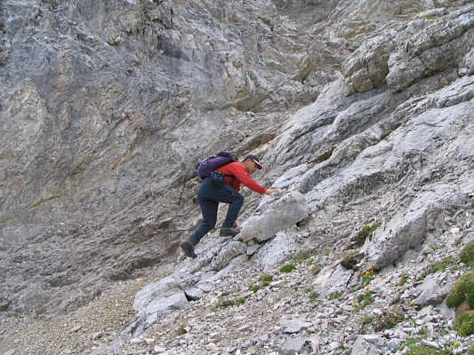
Sonny scrambles up typical terrain on the east face. |
|
|
This is a view of Grizzly Col and Mount Tyrwhitt (right) from further up the east face. At far left on the horizon is Mist Mountain. |
|
|
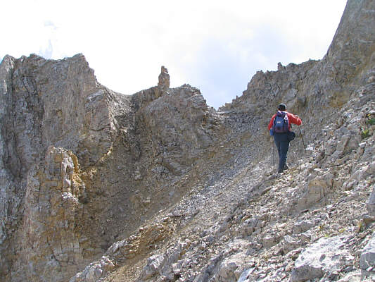
Sonny hikes up to the ridge crest. |
|
|
This is looking up at the remainder of the ridge from where the east face route tops out. |
|
|
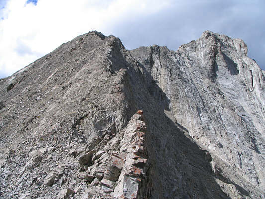
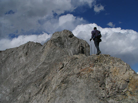
The ridge narrows as Sonny approaches the first summit. |
|
|
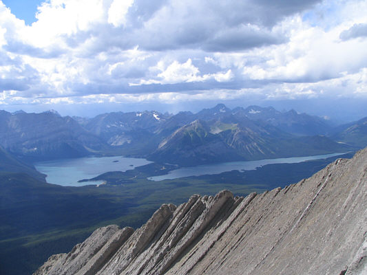
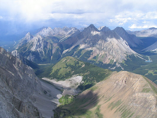
This is a view of Upper and Lower Kananaskis Lakes from the ridge. |
|
|
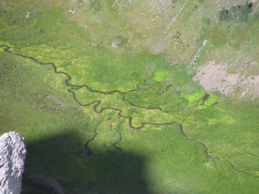
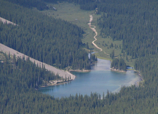
The creek on the north side of Little Highwood Pass looks neat from high up. |
|
|
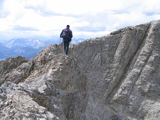
Sonny walks along one of the many exposed sections of the summit ridge. The main summit is just out of view to the right. |
|
|
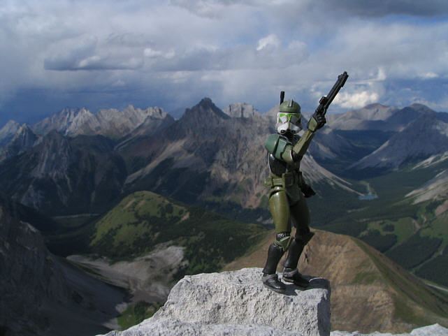
Sonny holds up the register canister on the 2934-metre summit of Mount Pocaterra. |
|
|
This is looking back at the first summit and the exposed connecting ridge from the main summit. Mount Tyrwhitt is visible in the distance. |
|
|
The view north of the summit includes Gap Mountain, numerous peaks of the Opal Range, Elpoca Mountain, Tombstone South, Elbow Lake, and even Mount Cornwall. Stretching from centre to bottom right is the northern half of Pocaterra Ridge. |
|
|
To the southwest is Pétain Glacier and Mount Joffre. |
|
|
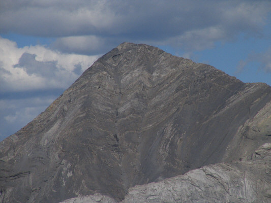
Mount Rae dominates the view to the east. |
|
|
Here is a close-up of Elbow Lake. |
|
|
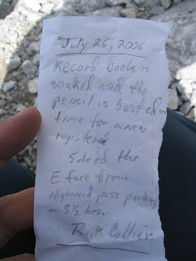
This sheet was left in the canister beside the soaking wet register. |
|
|
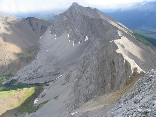
From the first summit, this is looking south at the connecting ridge to Mount Tyrwhitt. The east face route is also visible at the bottom. |
|
|
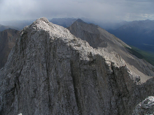
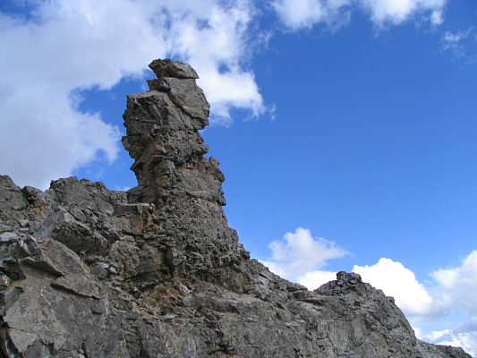
This impressive pinnacle serves as a good marker for exiting the ridge onto the east face. |
|
|
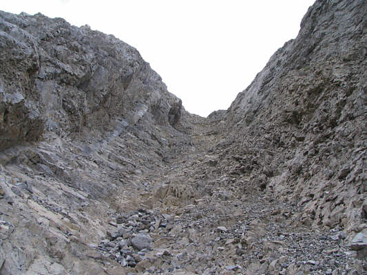
This is looking back up Sonny's descent gully. |
|
|
This is a foreshortened view of the east face route from just south of Little Highwood Pass. |