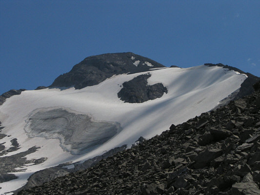
Climbing up the west ridge was technically quite easy, but Dave and I were both weary from the heat as well as the previous day's exertions. Luckily, there was a slight breeze higher up the ridge which helped to keep the temperature bearable, and we passed the time nicely with our conversations. We both reached the summit at 2:50 PM and spent about fifty minutes there before descending. During our ascent, Dave and I were both eyeing the small glacier hugging the north face of Mount Sarrail. Despite some icy patches and steep sections, the glacier looked fairly safe and free of crevasses. I convinced Dave that the glacier would make for a quicker and easier descent than retracing our steps back down the west ridge. Dave did not have an ice axe, but he did fine with his crampons and the ski poles I lent him. While we mostly plunge-stepped down the steep, upper part of the glacier, we enjoyed some great glissading lower down. All too soon we were back to stumbling down endless piles of rubble. We eventually regained the lower part of the west ridge and returned to our backpacks by 5:30 PM.
The rest of our return trip was simply hellish. Descending some parts of the headwall with a heavy pack was tricky if not also scary. I had my doubts about whether I could stop myself if I slipped and tumbled down the rubble slope. Toward the bottom of the headwall, I was looking forward to taking my boots off for a well-deserved rest when a sudden thundershower prompted us to keep moving down into the trees. The rain, while refreshingly cool, also made the trail and deadfall around Hidden Lake dangerously slick. During the seventy minutes that it took us to get around the lake, I cursed virtually every awkward log I had to climb over and under, every undulation of the trail which cruelly added needless height gain, and every Kananaskis Country administrator who did not deem it necessary or desirable to improve this miserable access route. By the time Dave and I made it back to the main trail on the south side of Upper Kananaskis Lake, we were both exhausted and mentally frazzled. It took us another ninety minutes to trudge back to Dave's car (made it back by 9:48 PM), and the last couple of kilometres were especially painful on the feet. As uncomfortable as my wet boots were, I kept them on out of respect for Dave as he drove me back to Dan's place to pick up my car. That is the price of success, I guess.
Check out Dave's trip report and photos
here.
|
|
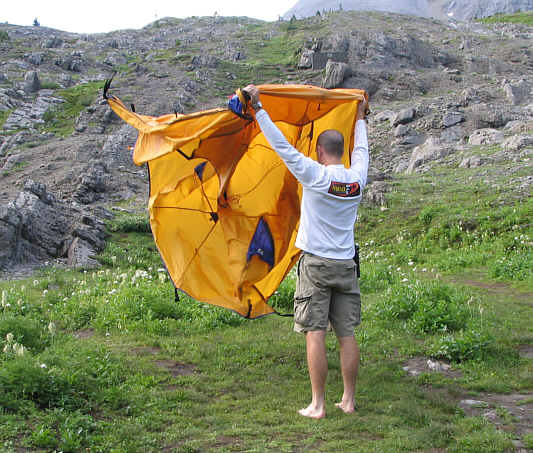
Dave gives his tent a shake at Aster Lake campground. |
|
|
This is Mount Sarrail and its west ridge as seen from Aster Lake campground. |
|
|
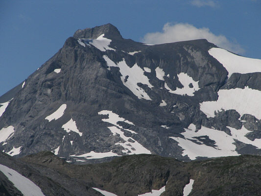
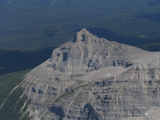
Here is a close-up view of Mount Cordonnier as seen from the lower west ridge of Mount Sarrail. |
|
|
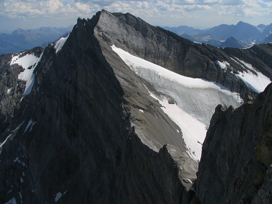
A small glacier covers the north side of Mount Sarrail. |
|
|
Dave slogs up the west ridge of Mount Sarrail. |
|
|
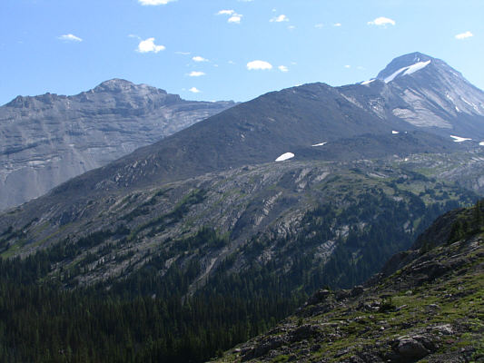
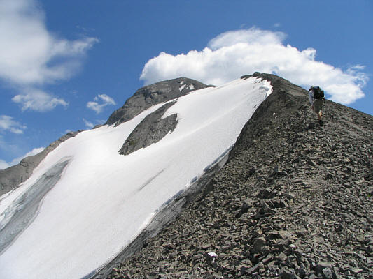
The west ridge is long but generally easy to climb up. Aster Lake is visible in the distance. |
|
|
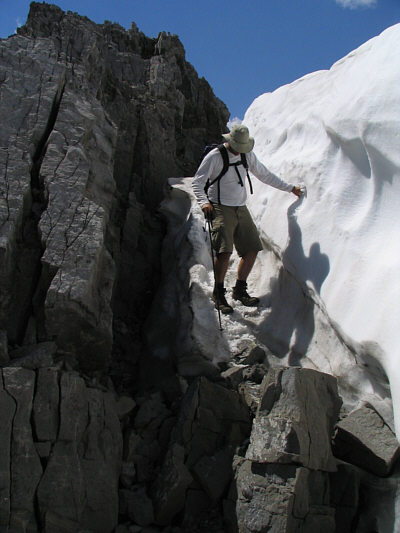
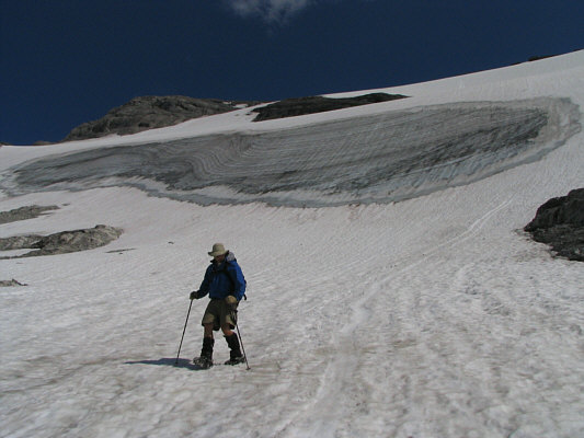
Dave negotiates a tricky spot where the glacier abuts the ridge. |
|
|
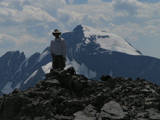
Dave and Sonny stand on the 3174-metre summit of Mount Sarrail. |
|
|
East of Mount Sarrail is this nub unofficially known as "The Turret". |
|
|
To the southwest, Mount Joffre rises up behind Dave. |
|
|
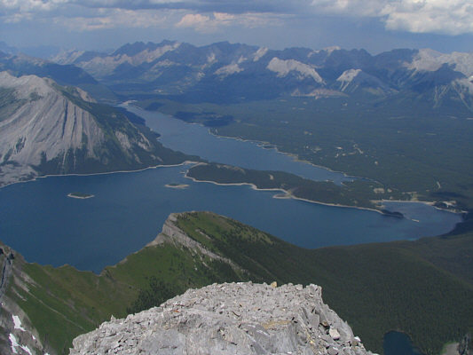
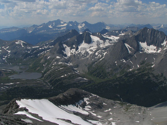
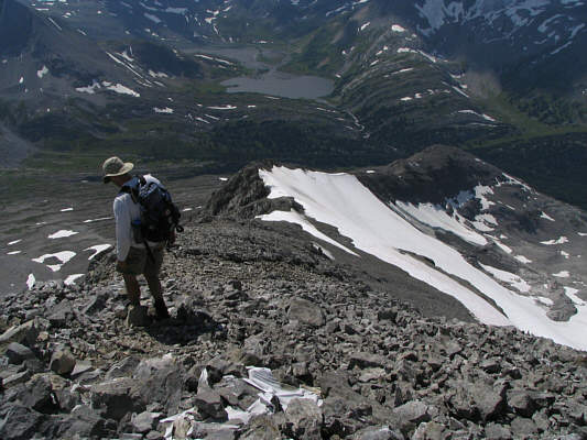
A short walk along the north ridge grants this unobstructed view of Upper and Lower Kananaskis Lakes. |
|
|
The connecting ridge to Mount Foch looks spectacular. |
|
|
The view to the west includes Aster Lake, The Royal Group (on horizon) and Mount Lyautey (far right). |
|
|
Dave leaves the summit of Mount Sarrail. |
|
|
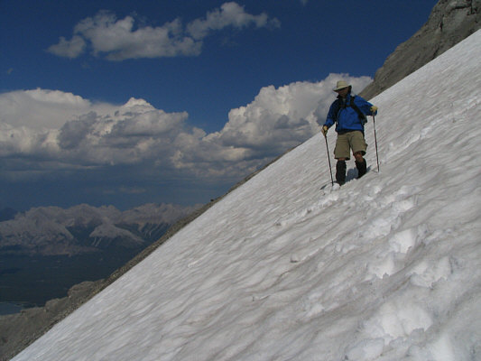
Dave walks down his second glacier of the weekend. |
|
|
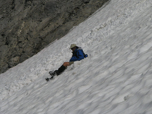
Dave slips and goes for a short involuntary glissade. |
|
|
Dave gets up after a terrific glissade. |
|
|
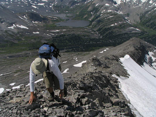
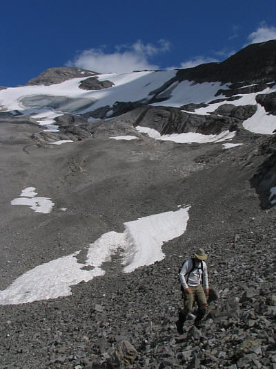
Dave traverses easy rubble to get back to the west ridge. |
|
|
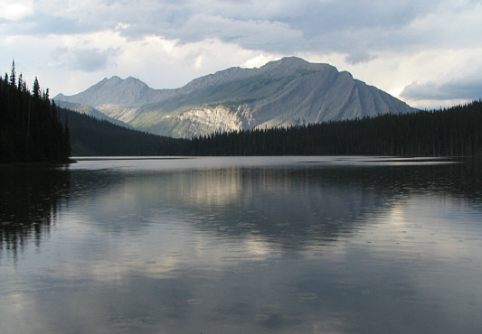
This is looking north toward Mount Indefatigable from the south end of Hidden Lake. |
|
|
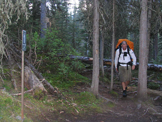
Dave emerges from the trees after an exasperating seventy minutes of climbing over and under deadfall while being hounded by mosquitoes. The parking lot is still another gruelling ninety minutes away though. |