BOU AVENUE
Belmore Browne Peak
Kelly Bou and I hiked up Belmore Browne Peak near Jumpingpound Creek in Kananaskis Country on 4 August 2007.  The crux of the trip was finding the trail head along Powderface Trail (it's marked by two very small cairns).  Otherwise, we had no problems going up or coming down.  Our round-trip time was less than 5.5 hours although we could have been quicker had we not been enticed by an abundance of ripe raspberries in the area. 
A nice shape despite its low elevation. This is Belmore Browne Peak as seen from where the trail crosses Jumpingpound Creek.
We met a couple further back who gave up trying to go up this tedious creek bed. 
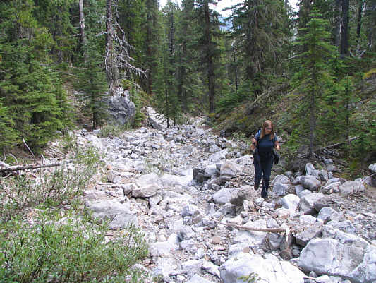
Kelly hikes up the dry creek bed leading to Belmore Browne Peak.
The slabs on the right looked like they would be fun to scramble on. This grassy slope grants easy access to the summit.
Because of foreshortening, the summit is a bit further away than it appears.  Only a bit though. 
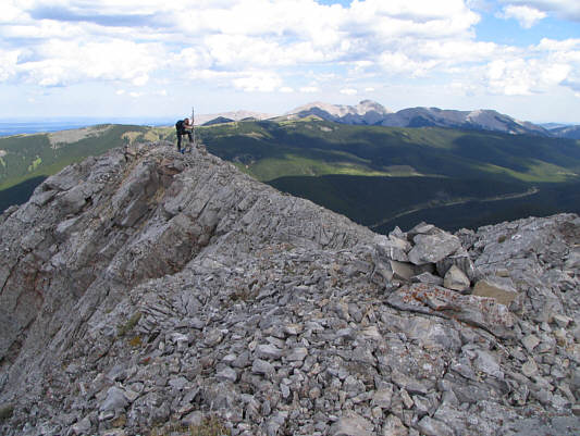
Kelly climbs up the final slope to the summit.
It looks like the east summit is higher here. Kelly tags the east summit of Belmore Browne Peak.  Moose Mountain is visible on the horizon.
It looks like the west summit is higher here! 
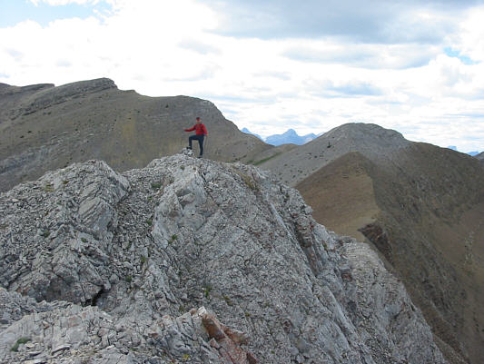
Sonny tags the west summit of Belmore Browne Peak.
Photo courtesy of Kelly Bou
Nice looking couple, eh? Sonny and Kelly relax near the 2332-metre summit of Belmore Browne Peak.
Maybe save Tiara Peak for an after-work scramble... Kelly begins the descent.  Tiara Peak is visible at upper right.
There was actually some good scree surfing coming down. This is the access point between the summit and the creek bed.
Hmmm...needs salt! 
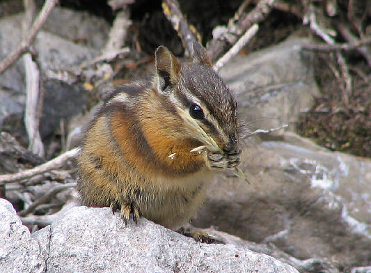
A chipmunk fattens up for the coming winter.