

As I sat on the north summit watching the sun
dip lower and lower on the horizon, I contemplated several alternate
exits. A descent west into the James Walker Creek valley was very
appealing because I knew there would be a good trail out to the Smith-Dorrien
highway (if I had to climb Mount Inflexible again, this would be the
approach I would use). However, this would have left me far from my
car with almost no chance of hitching a ride late on a weeknight. I
also considered a descent south into the pristine Kent Creek valley, but
then I would have to hike or bushwhack for at least 8 kilometres mostly
through unknown forest before reaching the Smith-Dorrien highway.
Again, that would leave me far from my car. I even thought about
trying to descend the east face of Mount Inflexible, but a quick glance
over the edge confirmed that this option would have been suicidal.
In the end, I deemed it best to simply retrace my steps all the way back.
The sun disappeared shortly after I bypassed the south summit on my
return, and I hurried to down-climb as many cliff bands as I could before
darkness completely enveloped the mountain. Despite my apparent
predicament of being benighted on the connecting ridge, I had a couple of
things in my favour. Firstly, the weather was clear and calm.
Although I was equipped to spend the night on the mountain, the near-full
moon and my small headlamp provided enough illumination to continue
moving. Secondly, because I was retracing my steps, I knew the
route. I essentially stuck to the ridge crest all the way back to
the high point, and scrambling up all the tricky cliff bands was a lot
easier than down-climbing them. Naturally, I was weary and
fatigued, and every once in awhile, I would find a spot to sit down and
take a short nap. It was about 10:30 PM by the time I returned to
the high point of the connecting ridge. I continued a little
further toward Mount Lawson before dropping down Kane's standard route.
Descending this section was far from trivial, and it took me an
exasperatingly long time to stumble down to tree line. Tired of
rubble, I took to bushwhacking through the forest, and the mossy ground
was a great relief to my beleaguered feet. Although a GPS would
have greatly simplified things, I navigated by staying within earshot of
the creek flowing down Kane's "first drainage". I eventually
reached the Kananaskis River and found the access road shortly after.
Back at my car by 2:55 AM, I drove to the nearby gas station to pick up a
couple of cans of pop from a vending machine and promptly put this
16-hour epic behind me.
|
|
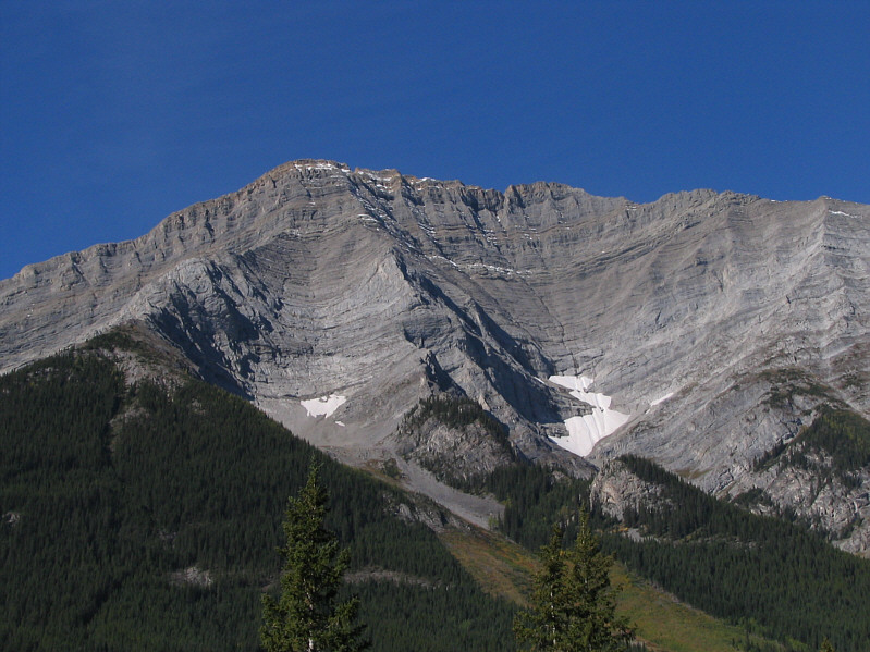
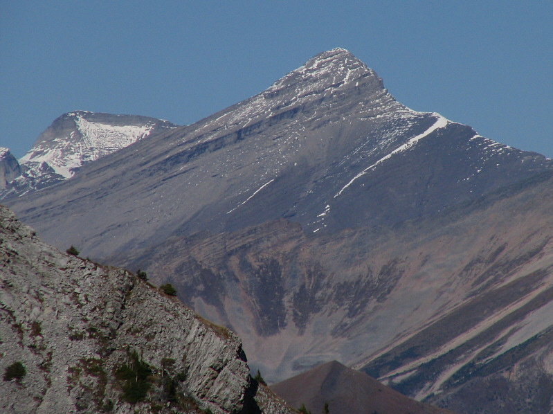
This is Mount Inflexible as seen from near Fortress Junction. |
|
|
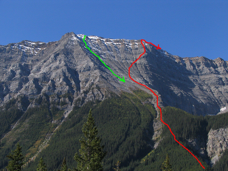
Sonny's approximate ascent route (red) to gain the connecting ridge between Mounts Lawson and Inflexible is shown. His descent route (green) is also shown. |
|
|
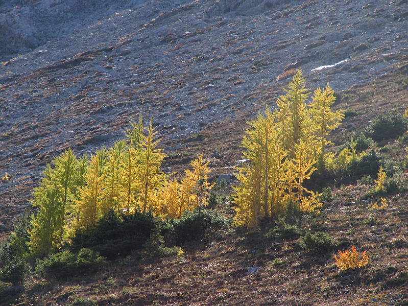
Some larches have already turned colour. |
|
|
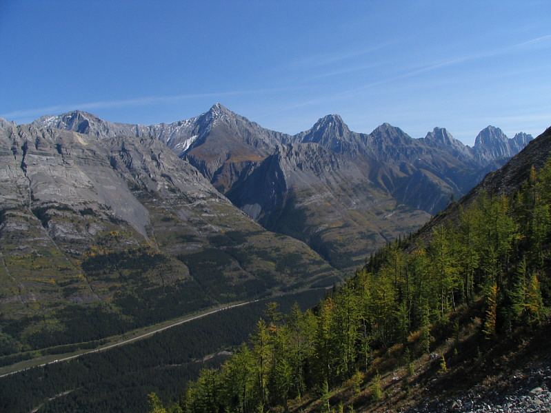
The Opal Range looks impressive across the valley. L to R are Mounts Evan-Thomas, Packenham, Hood, Brock, and Blane. |
|
|
Mount Sparrowhawk (far left) and Mount Bogart are visible to the north. |
|
|
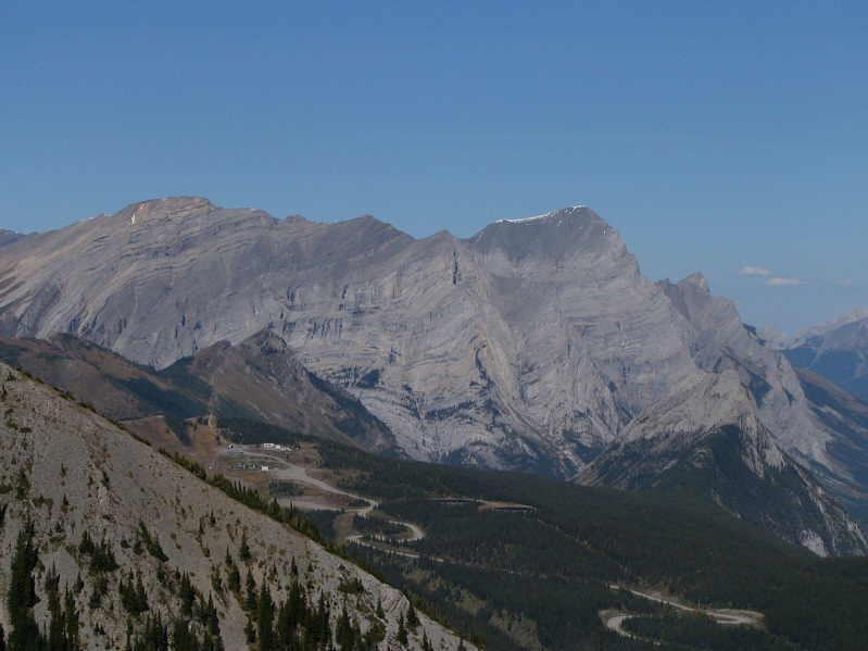
Mount Kidd South Peak and Mount Kidd are also visible to the north. In the foreground is the base area of the old Fortress Mountain ski resort. |
|
|
Mount Inflexible provides a nice backdrop for Sonny's slog up the slope. |
|
|
Here is the ridge leading to Mount Inflexible. Mount Assiniboine is visible at far left in the distance. |
|
|
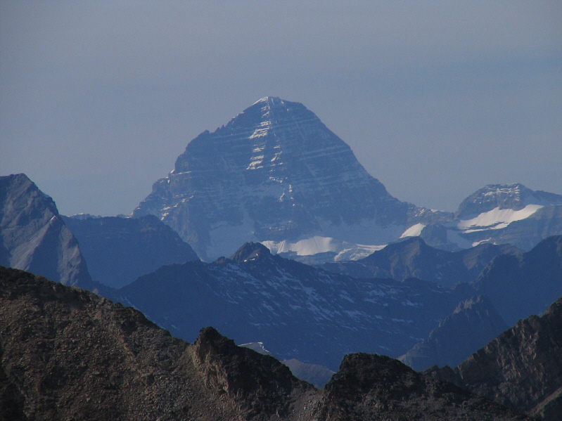
Here is a closer look at Mount Assiniboine. |
|
|
Sonny traverses the connecting ridge between Mounts Lawson and Inflexible. The high point of the ridge is the second bump from the right. |
|
|
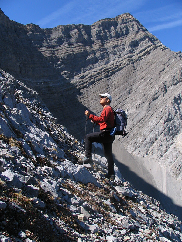
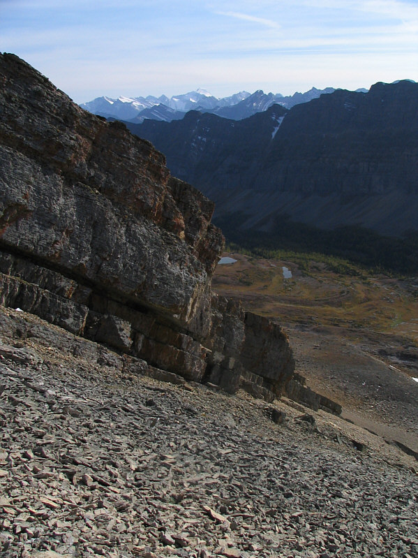
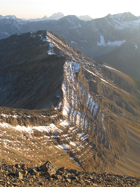
This cliff band is typical of the many encountered along the ridge between Mounts Lawson and Inflexible. Most can be down-climbed (difficult scrambling). |
|
|
The alternative is to drop almost all the way down into the valley before climbing back up treadmill scree. |
|
|
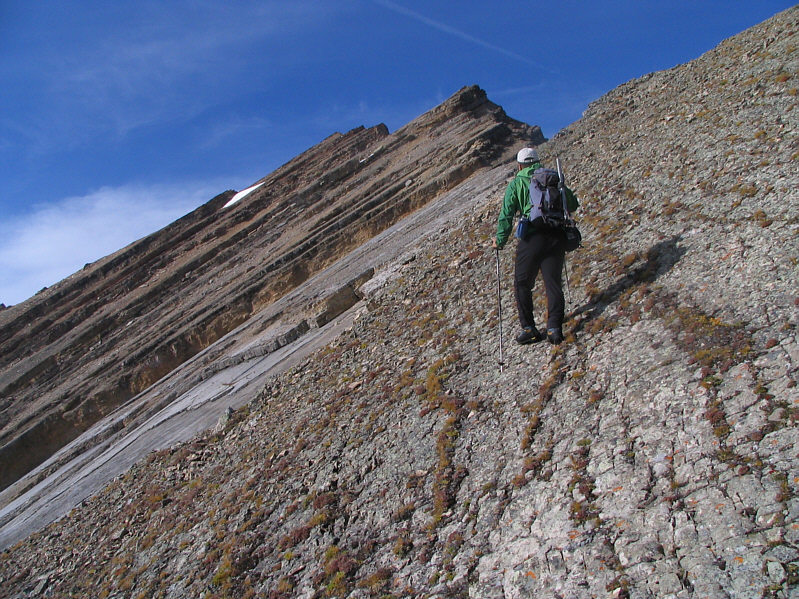
Sonny cautiously treads across one of many tilted slabs en route to Mount Inflexible. |
|
|
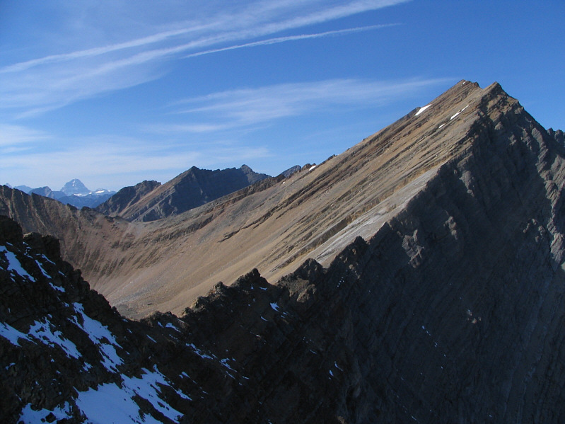
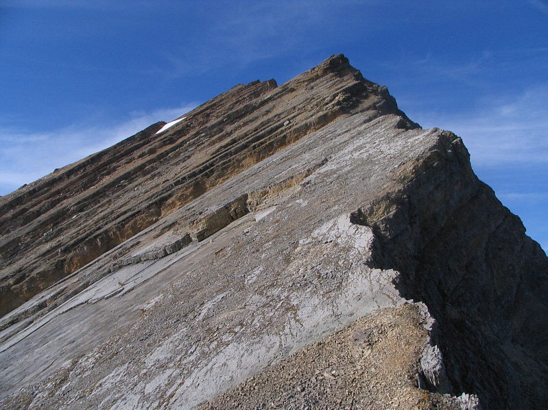
Here is the remainder of the ridge to the south summit which is still a long ways off. |
|
|
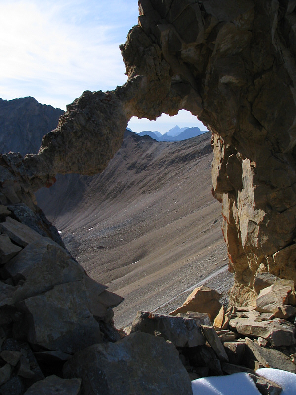
This natural hole in the ridge is about a metre wide. |
|
|
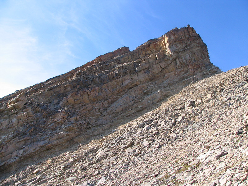
This is the last cliff band guarding the south summit. |
|
|
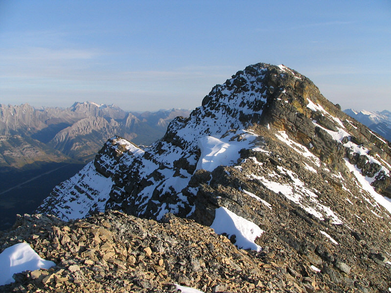
In this view from the south summit of Mount Inflexible, the north summit appears to be slightly higher. |
|
|
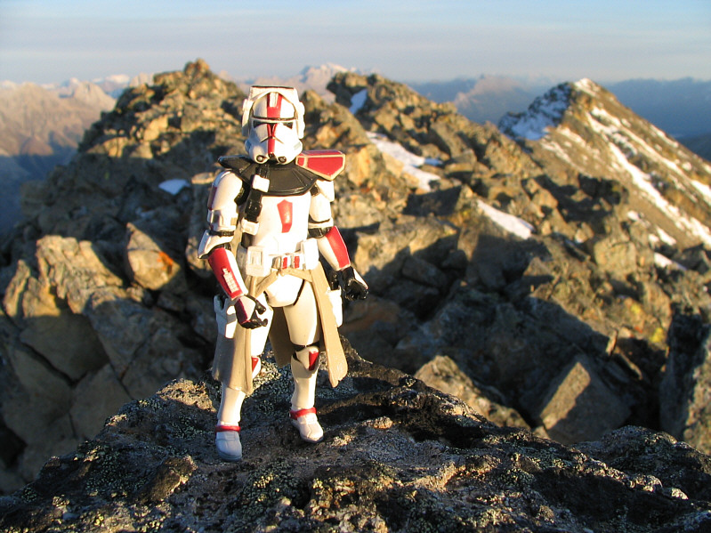
Sonny holds up the "summit" register at the south summit. |
|
|
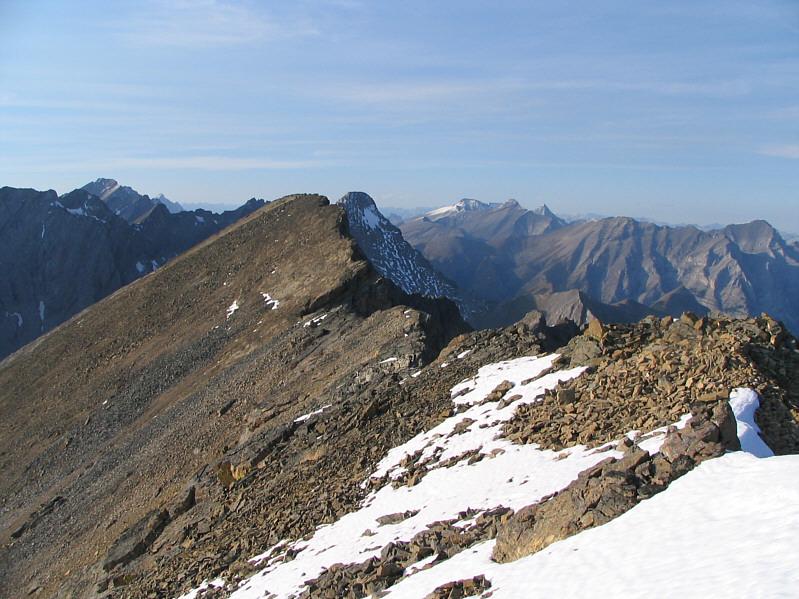
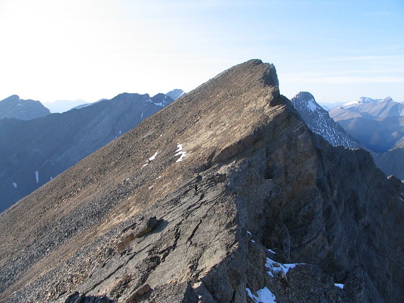
This is looking back at the south summit from the connecting ridge to the north summit. |
|
|
Here is a closer look at the north summit. |
|
|
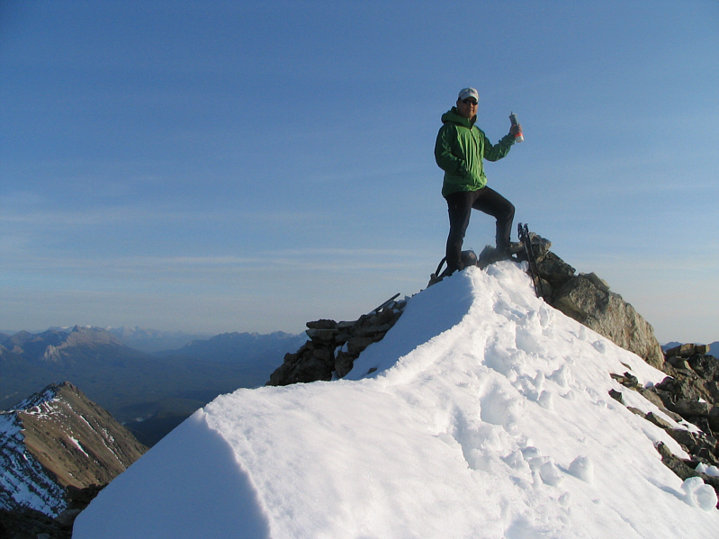
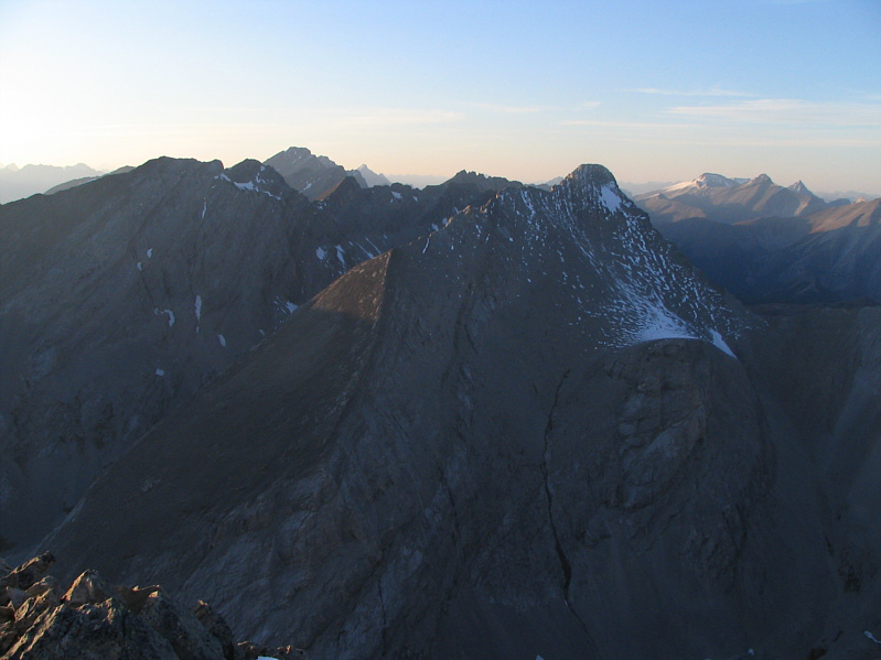
Sonny sits on the 3000-metre north summit of Mount Inflexible. The south summit can be seen at right. Sonny's face says it all about this mountain. |
|
|
Mount James Walker dominates the view to the north. |
|
|
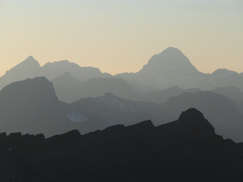
Some peaks to the west are silhouetted against the late day sky. |
|
|
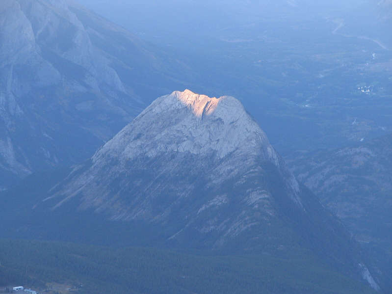
A few last rays of sunshine illuminate the top of "Spoon Needle". |
|
|
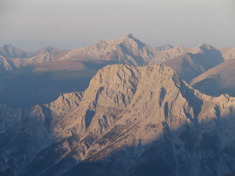
The Wedge and, in the distance, Fisher Peak look radiant late in the day. |
|
|
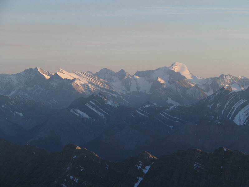
Mount Joffre dominates the horizon to the south. |
|
|
This is the connecting ridge between Mount Inflexible and the high point of Kent Ridge. |
|
|
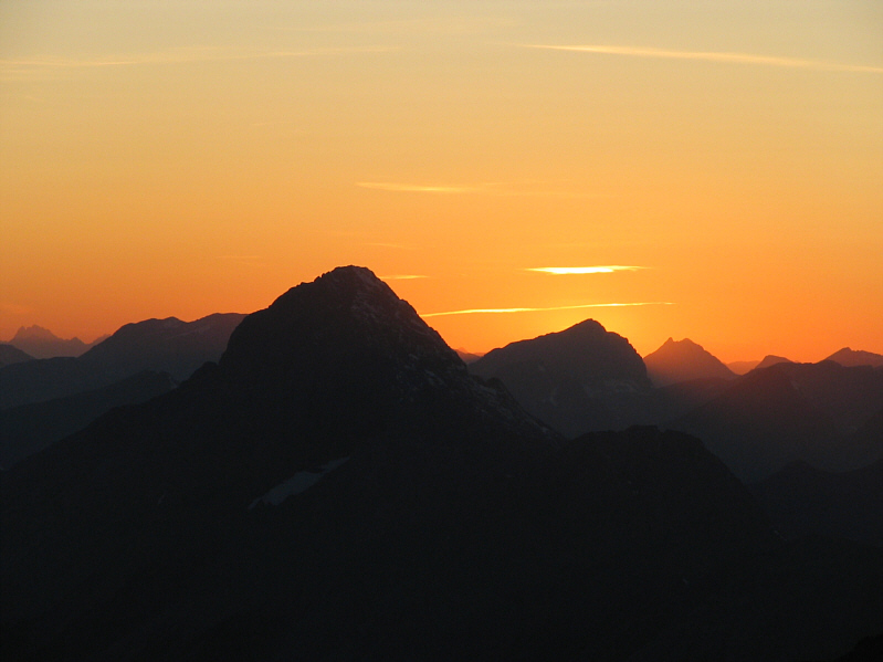
The sun sets on another beautiful day in the Canadian Rockies. The big peak in the foreground is Mount Birdwood. |