BOU AVENUE
Tiara Peak
On 26 September 2008, I scrambled up Tiara Peak (unofficial name) in the front ranges of Kananaskis Country.  Having previously ascended Belmore Browne Peak, I had no issues finding the trail head although I probably wasted just as much time playing with Bob Spirko's old GPS which he generously donated to me recently.  I pretty much followed Andrew Nugara's route description from More Scrambles in the Canadian Rockies except that I was too lazy to bother traversing around the south end of the peak and simply scrambled up the first gully I came to on the north side.  As steep and exposed as this gully was, I actually had more difficulty descending the southwest slopes.  I missed some flagging which necessitated a very tricky down-climb to get back on route.  Otherwise, the rest of my descent was uneventful, and I was back at my car after a round-trip time of a little over 6 hours.
I think Gillean Daffern coined the name for this peak. 
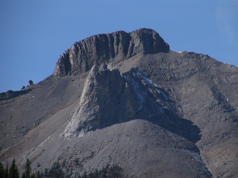
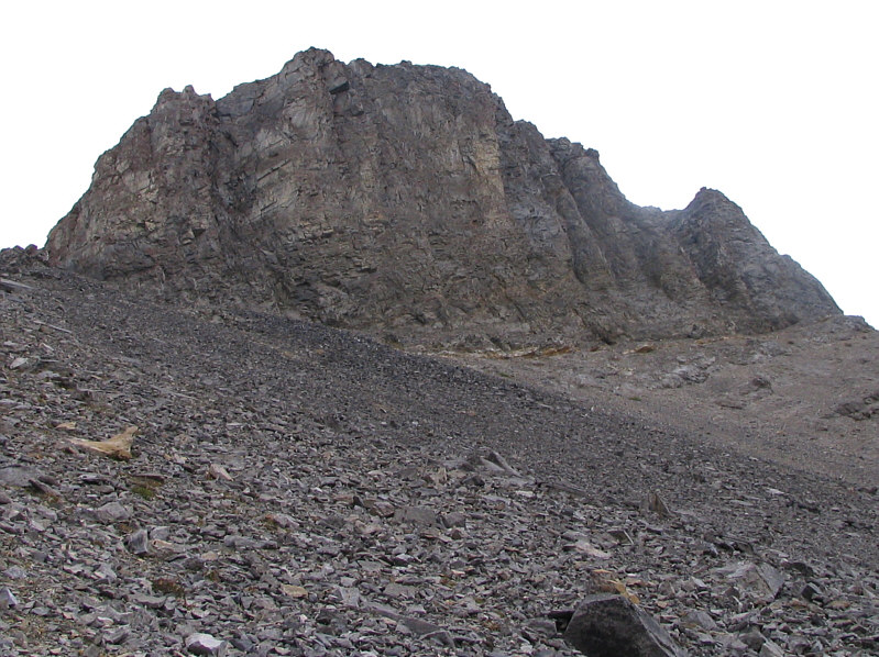
This is Tiara Peak as seen from the road.
Easy hiking. 
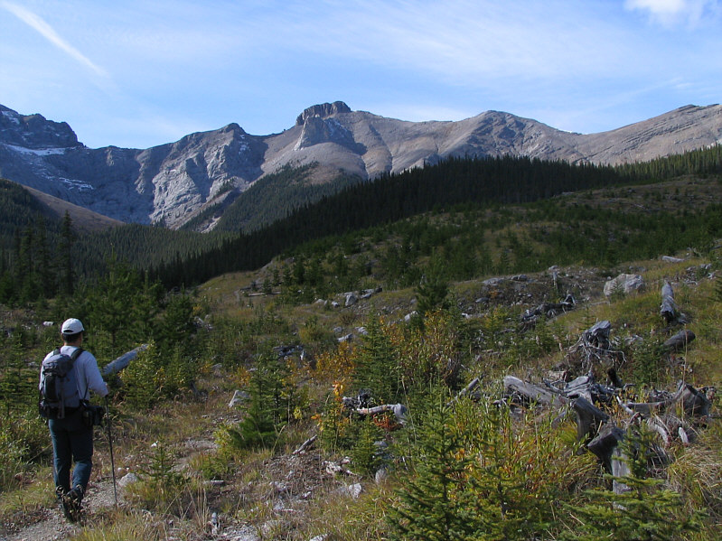
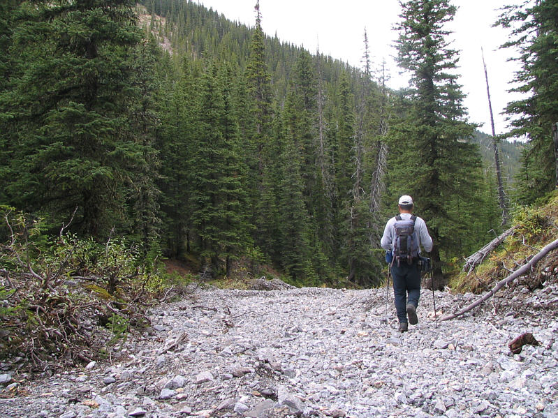
Sonny hikes along a logging road on the way to Tiara Peak.
Easy hiking but a little tedious at times. 
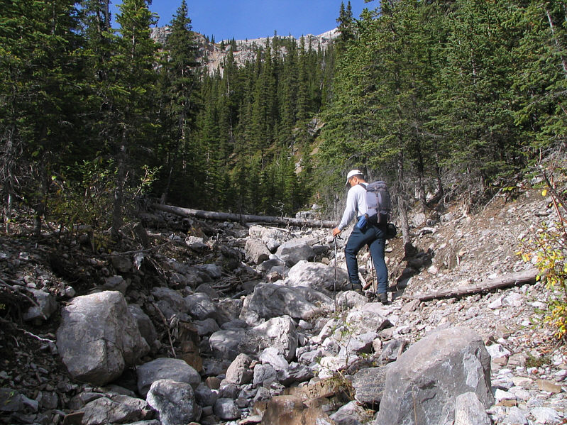
Sonny muddles his way up the creek on the approach.
A fun peak to bag with your loved ones! 
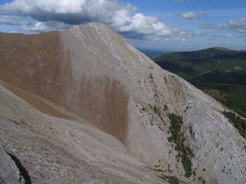
Belmore Browne Peak shows some different hues from this angle.
This is where the fun starts! 
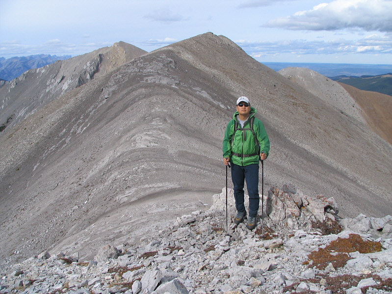
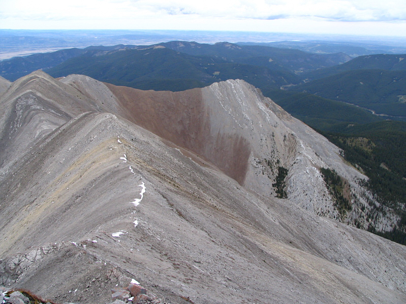
Sonny gains the ridge crest.
Hmmm...it figures.  The blue sky disappears when I get out of the trees! 
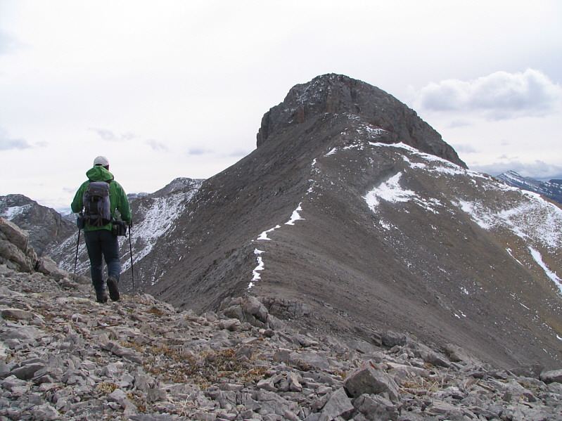
Sonny approaches the north end of Tiara Peak.
The worst part is the first couple of metres. 
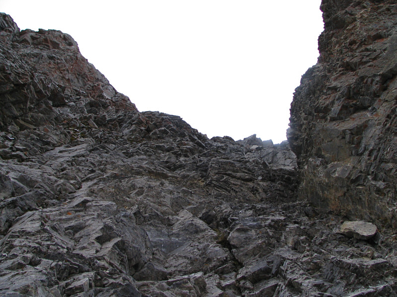
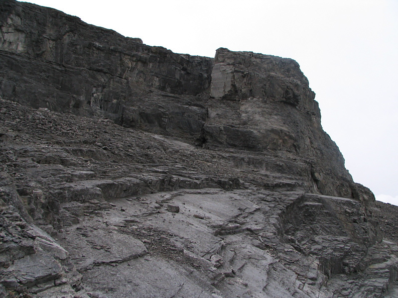
This is looking up the first gully from the bottom.
Climbing up this is one thing, but I wouldn't want to descend this way! 
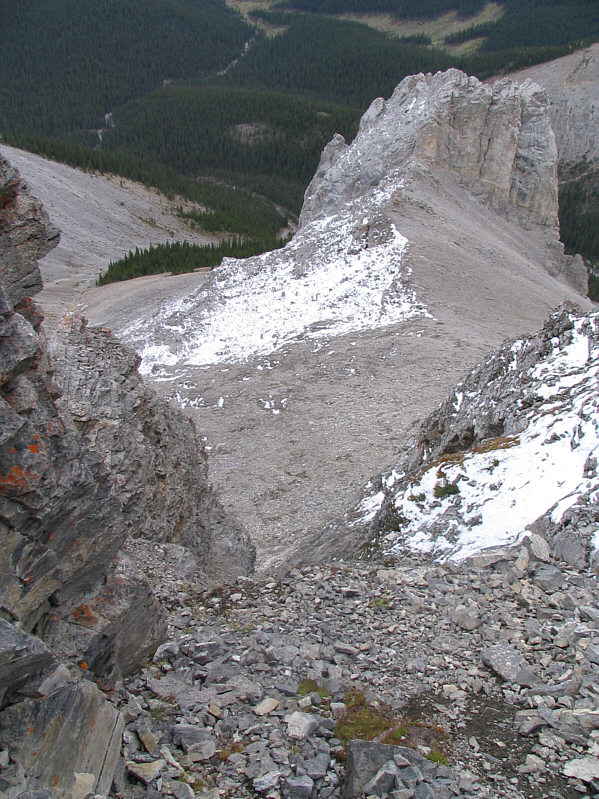
This is looking back down the first gully from about halfway up.
The elevation was according to my GPS reading. 
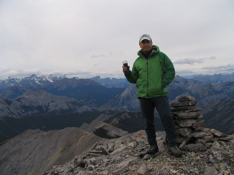
Sonny holds the register canister on the 2540-metre summit of Tiara Peak.
The crux doesn't look like much from here... Fisher Peak looks snowy to the south.
If you have a sharp eye, you should also be able to spot Little Sister, Mount Lawrence Grassi, Ha Ling Peak, Pilot Mountain, Mount Rundle, Cascade Mountain and Grotto Mountain. The most recognizable peak to the northwest is Mount Lorette (left).
You can even see a bit of curvature of the horizon. 
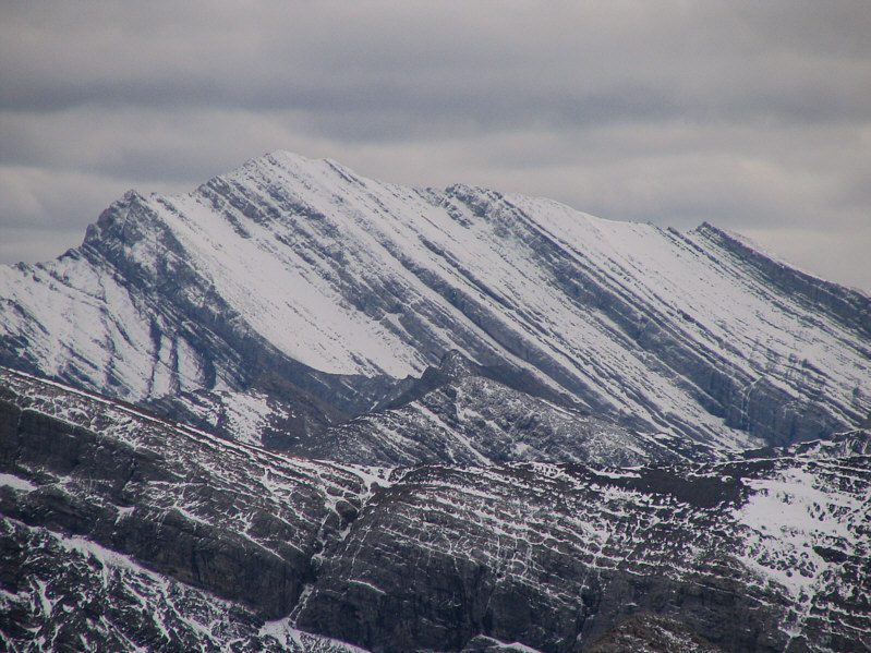
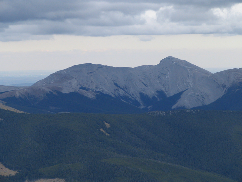
To the north is Belmore Browne Peak.
I wonder if Daniel Stark still plays sitar up there... 
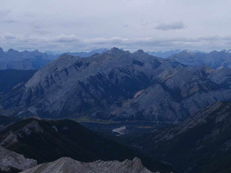
Moose Mountain dominates the view to the east.
Looks worse...nay, it IS worse from above! This is looking back at Sonny's tricky down-climb on his descent.
Probably seldom climbed... 
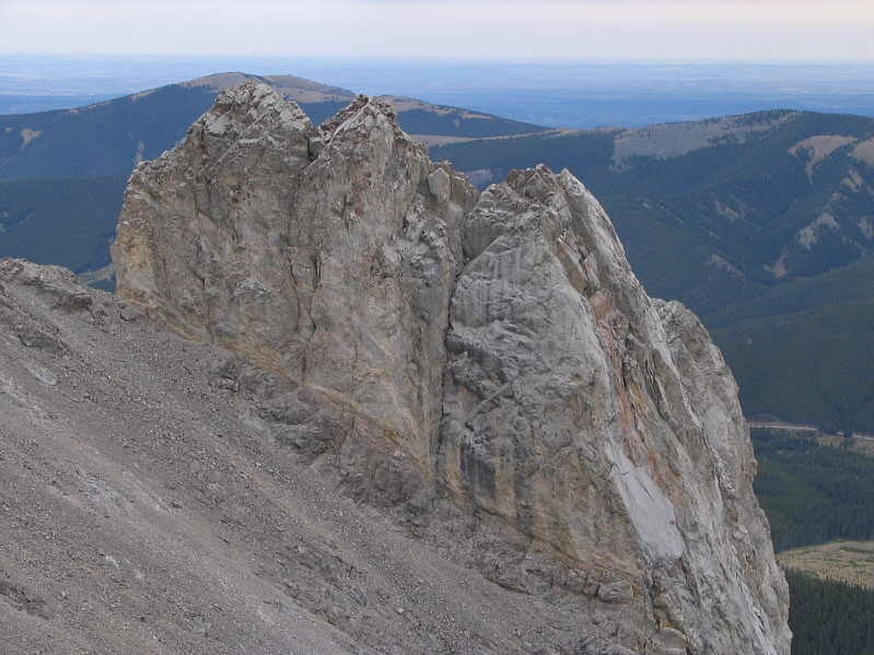
This is the striking pinnacle to the east of Tiara Peak.
Impressive cliffs for such a small peak. This is looking back up at Tiara Peak's east-facing cliffs from the descent route.
Unfortunately, this flat section is short-lived. Sonny hikes back out the creek.
I wish I knew the story behind this! 
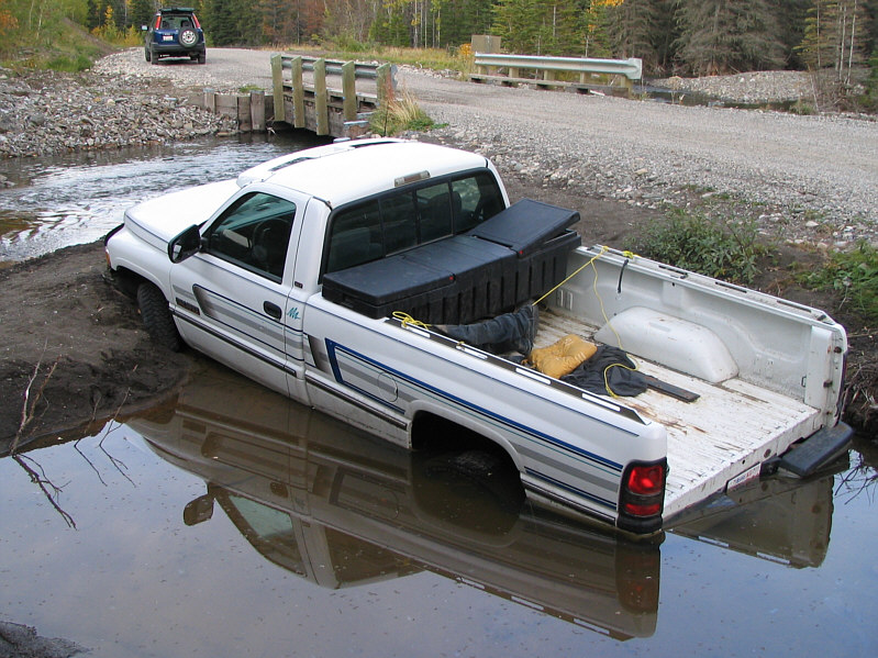
Someone's truck nearly ended up in the creek!