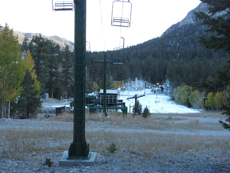
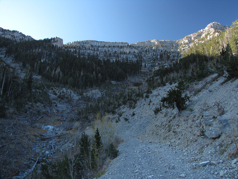
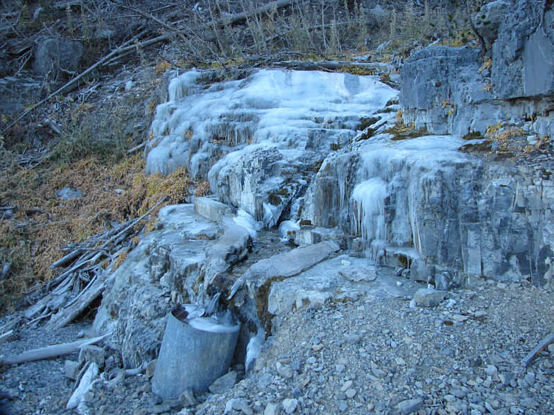


I left the hotel early on the morning of 6 October 2009 and drove for about an hour to the Las Vegas Ski & Snowboard Resort on the north side of Charleston Peak. As I got out of my car, I was a little shocked by the frosty temperature which was more reminiscent of the Canadian Rockies than Las Vegas. Trying to generate some warmth, I quickly hiked up the slope underneath the westernmost chairlift. Near the top, I headed left along a road which dead-ends at a small waterfall. The waterfall was partially frozen on this day, and I carefully scrambled over the ice into the drainage above. Despite a lot of deadfall choking the drainage, I managed to follow bits of trail and even walked atop some of the bigger downed logs to avoid the nasty undergrowth. Further on, I entered an obvious gully leading straight up to the skyline ridge. The gully is deceptively long because of foreshortening, and I took more time than I thought I would to gain the ridge crest. Once there, I paused briefly to savour some warmth from the bright sun before hiking along the North Loop Trail toward Charleston Peak's north ridge. While it would have been stupidly easy to follow this trail all the way to the summit (the trail switchbacks up the east face of the summit block), I relished the very slight challenge presented by the Devil's Thumb Shortcut which entails an awkward and exposed scramble up a short cliff band. Beyond this crux, I encountered no serious difficulties along the north ridge and reached the summit about 4.5 hours after leaving my car.
The weather was surprisingly calm at the summit, and I spent nearly an
hour there taking photographs and reading the summit register.
While I was at the summit, a hiker came up via the North Loop Trail.
I tried to chat him up, but he was not particularly forthcoming though I
did learn that he was originally from Chicago and was working temporarily
in Las Vegas. With nothing else to talk about, I left the guy alone
at the summit and began descending the North Loop Trail. I did this to
avoid the potentially tricky down-climb at the crux of the Devil's Thumb
Shortcut route. Further down the east face of the summit block, I
ran into the aloof hiker's partner who looked like he was labouring
really badly. Figuring that he did not have too many breaths to
spare for a conversation, I quickly acknowledged him and continued
descending the trail. By this point, I was already thinking about
Mummy Mountain and quickened my pace.
|
|
The base area of the ski resort already has snow. |
|
|
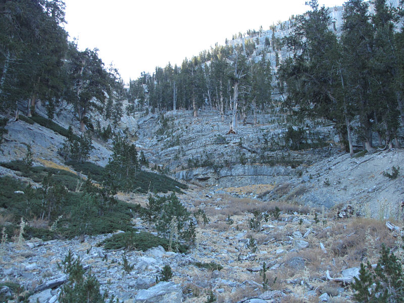
Here is a view of the road and the drainage beyond. |
|
|
This is the partially frozen waterfall. |
|
|
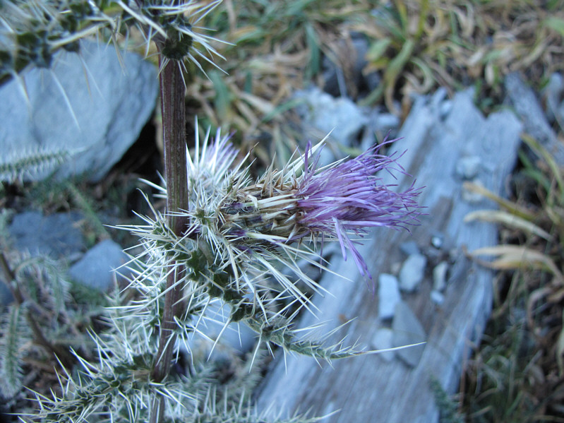
There are lots of these prickly thistles in the drainage. |
|
|
The drainage leads to this gully which grants access to the ridge. |
|
|
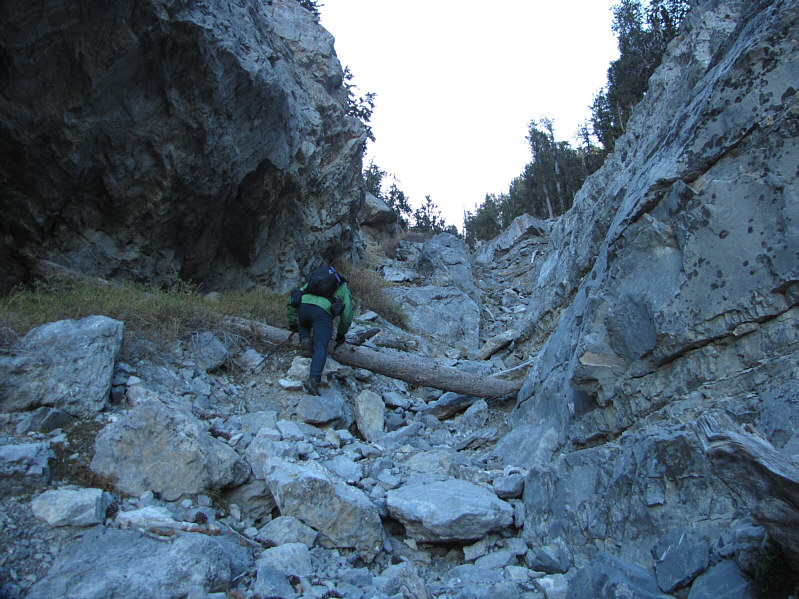
Sonny scrambles up the gully. |
|
|
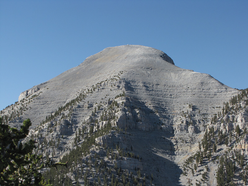
This is the summit block of Charleston Peak. |
|
|
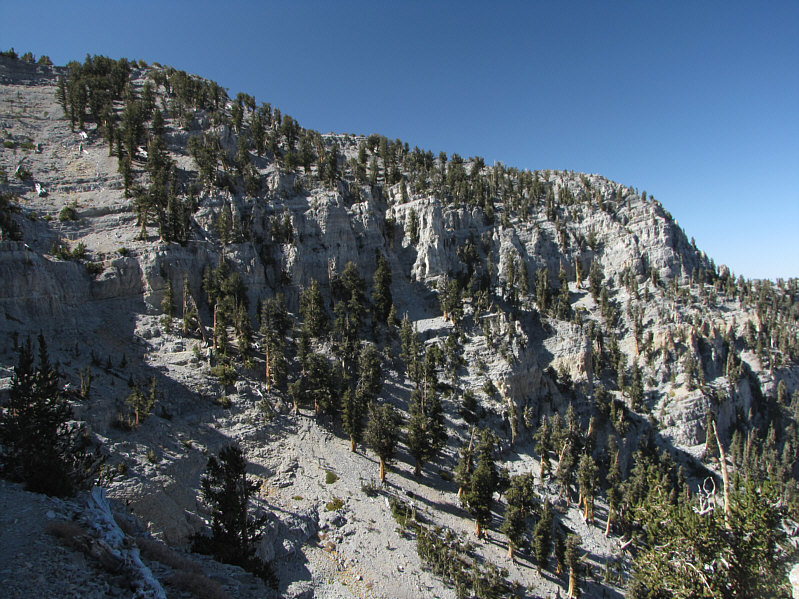
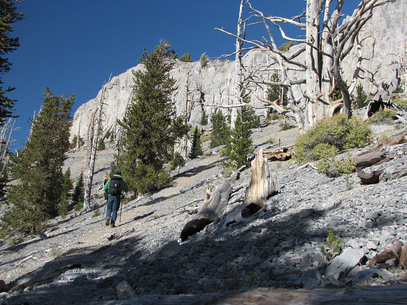
Hiking the North Loop Trail is a treat. |
|
|
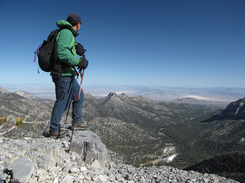
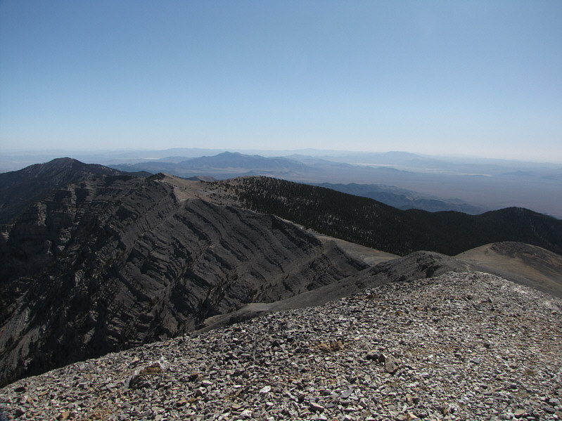
Sonny pauses to look back at the ski resort (bottom right) and the rest of Lee Canyon. At center are a cluster of peaks known collectively as The Sisters. |
|
|
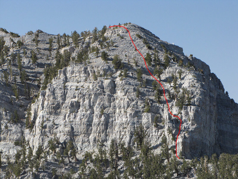
The Devil's Thumb Shortcut (red) is shown along Charleston Peak's north ridge. |
|
|
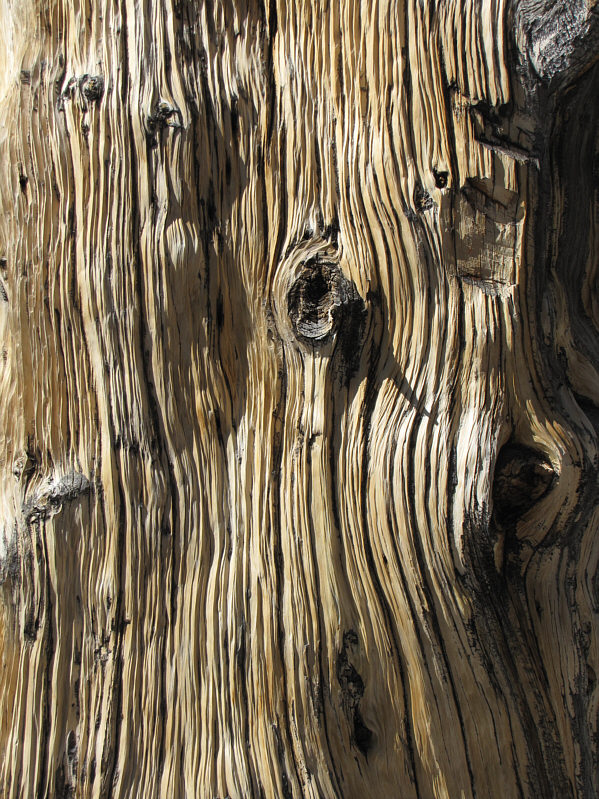
Here is a close-up of some tree bark. |
|
|
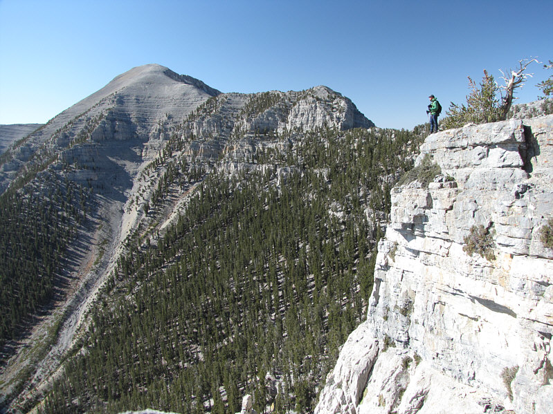
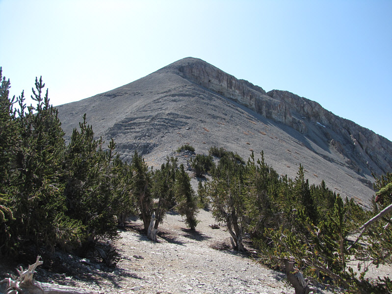
Sonny stops to admire the view of Charleston Peak and its north ridge. |
|
|
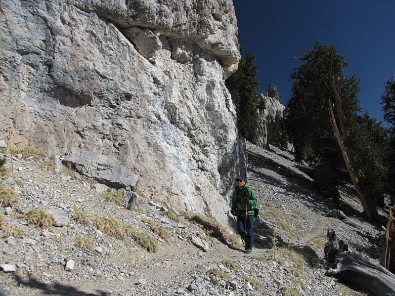
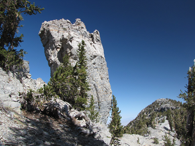
This is the pinnacle known as the Devil's Thumb. The shortcut begins at the gap to the left. |
|
|
This is looking up at the start of the Devil's Thumb Shortcut. The crux is at dead center. |
|
|
The remainder of the north ridge is an easy plod. |
|
|
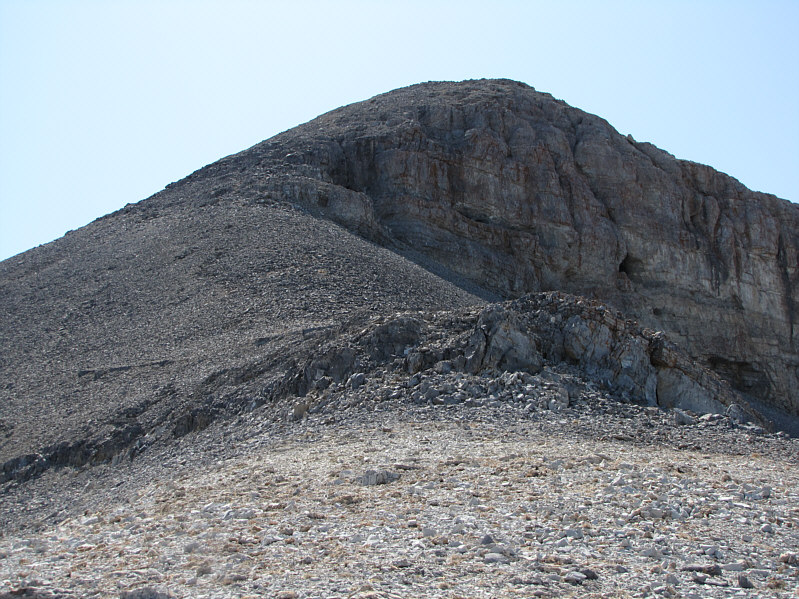
This is the final section of the north ridge before the summit. |
|
|
Sonny hikes up the last few metres to the summit. |
|
|
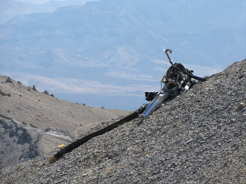
A helicopter crashed near the summit of Charleston Peak only 9 days earlier. Miraculously, all three people aboard the helicopter survived. |
|
|
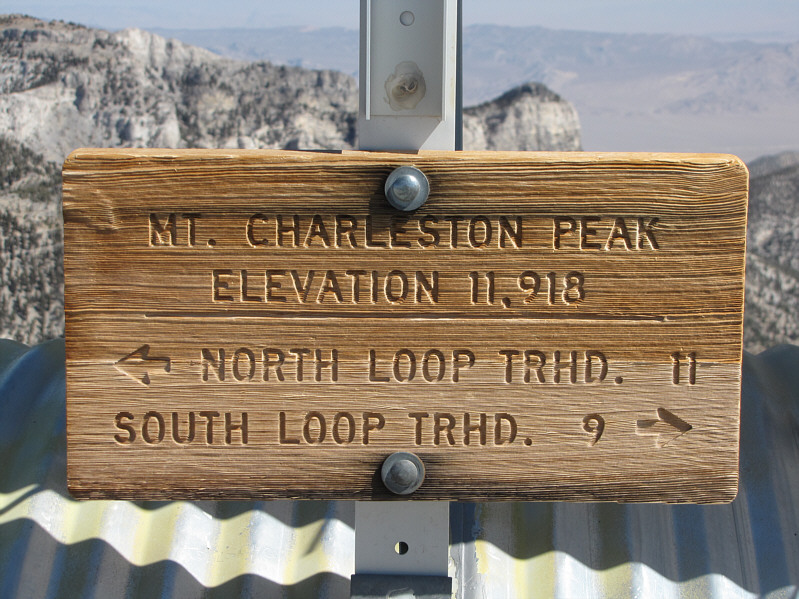
This is the sign at the summit of Charleston Peak. |
|
|
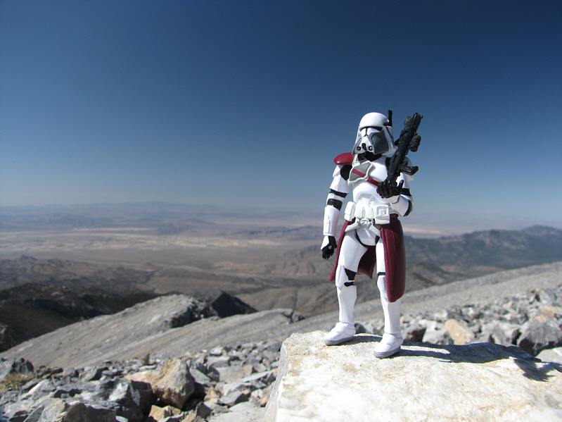
Sonny stands on the 3623-metre summit of Charleston Peak. Mummy Peak dominates the view to the northeast. |
|
|
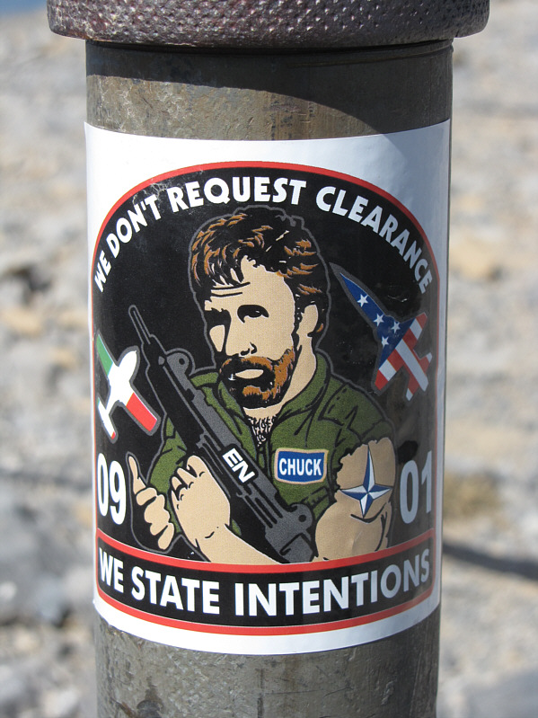
A colourful sticker adorns the metal pole supporting the summit register canister (ammo box). |
|
|
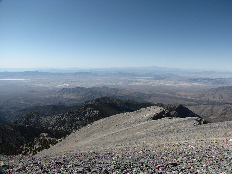
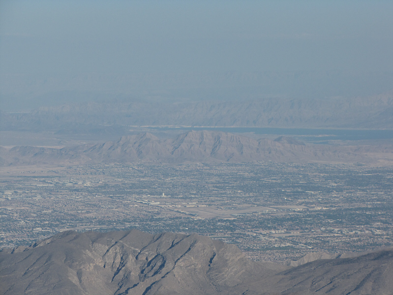
Las Vegas can be seen to the east. Some of the hotels on the Strip are visible as well as Frenchman Mountain (distant center) and Lake Mead. At far right is La Madre Mountain. |
|
|
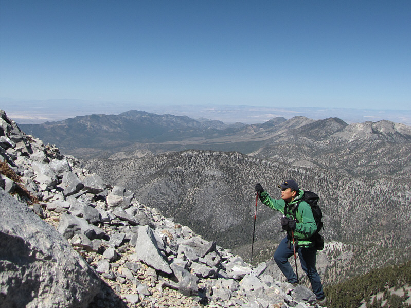
In this southward view, the South Loop Trail follows the connecting ridge to Griffith Peak which is at far left. |
|
|
The town of Pahrump is visible to the west. |
|
|
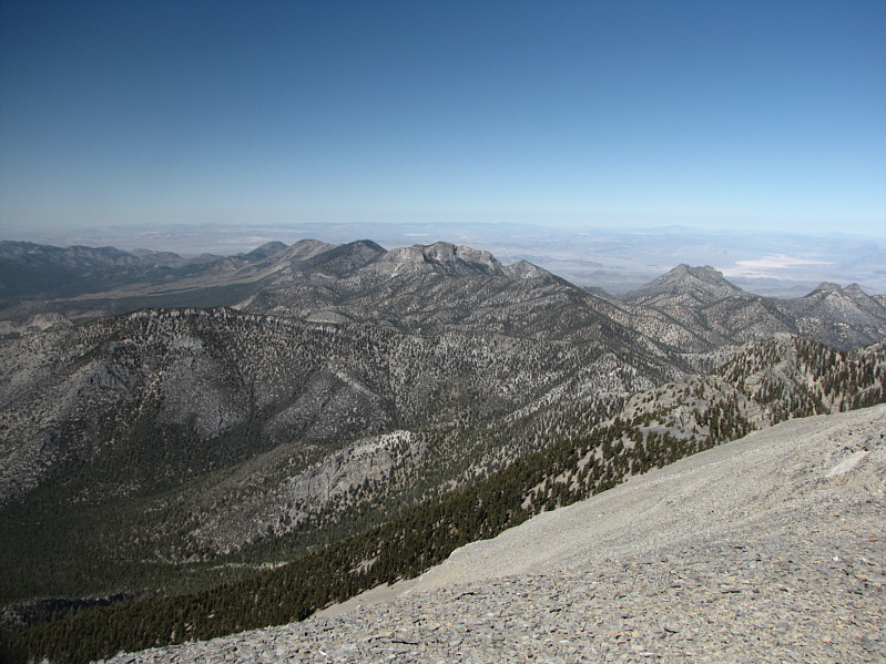
MacFarland Peak is at center in this view to the north. To its left is Bonanza Peak followed by Willow Peak and Wheeler Peak. |
|
|
This is looking across the lower east face of Charleston Peak's summit block. The North Loop Trail begins its switchbacks to the summit here. |
|
|
The North Loop Trail hugs the base of the cliffs below the north ridge. The Devil's Thumb is barely visible on the end of the ridge at far right. |
I followed the North Loop Trail past where I had emerged from the gully and continued for quite a distance to a point where I could see an obvious scree slope giving access to the connecting ridge to Mummy Mountain. Rather than lose more elevation to reach the bottom of this scree slope, I decided to leave the trail and traverse across some steep and bushy terrain that was probably more trouble than it was worth. Getting up to the connecting ridge was by far the worst slog of the day, and it took me nearly 50 minutes to gain about 100 metres of elevation here. Thankfully, the connecting ridge offers much more solid footing, and I soon picked up a good trail leading all the way to the crux--a chute that breaches the cliff bands guarding the summit plateau. By the time I realized that the chute was the most enjoyable part of the ascent, I was already through to the top and only a few short steps from the summit.
I spent only 30 minutes on the summit of Mummy Mountain before retracing
my steps back through the chute and down the connecting ridge.
Descending the aforementioned scree slope, I plunged straight down to
regain the North Loop Trail instead of trying to save a few metres of
elevation loss via the ill-conceived traverse. A long plod back to
the access gully was followed by an equally long descent in growing
darkness. By the time I reached the bushy
drainage, the sun was long gone, but I was too lazy to dig out my
headlamp and simply thrashed my way down to the waterfall as quickly as I
could without breaking an ankle.
An uneventful stumble down the ski resort had me back at my car after a
round-trip time of less than 12 hours (22.1 km total distance hiked and 1710 m total elevation gained).
I capped off the day with a hot shower back at the hotel in Las Vegas
followed by a superb dinner of penne with jumbo shrimp. Mmmmmmm!
 |
The route from the North Loop Trail to the summit of Mummy Mountain is shown (red). |
 |
Here is a closer look at the only weakness in the upper cliff bands. |
 |
Sonny follows a trail below the cliff bands guarding the summit plateau. |
 |
Sonny starts up the chute. |
 |
Sonny stands on the 3508-metre summit of Mummy Mountain. |
 |
This is looking north toward the "upper chest" of the "mummy". |
 |
Angel Peak to the east used to be the site of a United States Air Force Station. It is now home to the Spring Mountain Youth Camp, a seasonal youth correctional facility. |
 |
Here is a closer look at Las Vegas, Frenchman Mountain and Lake Mead. |
 |
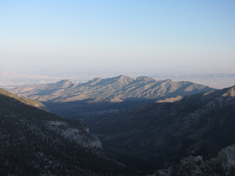
The summit of Charleston Peak is approximately 5 kilometres away to the southwest as the crow flies. |
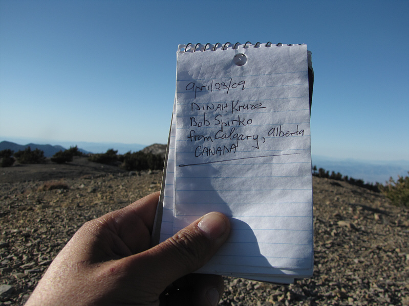 |
It is nice to see some familiar names on an unfamiliar mountain. |
 |
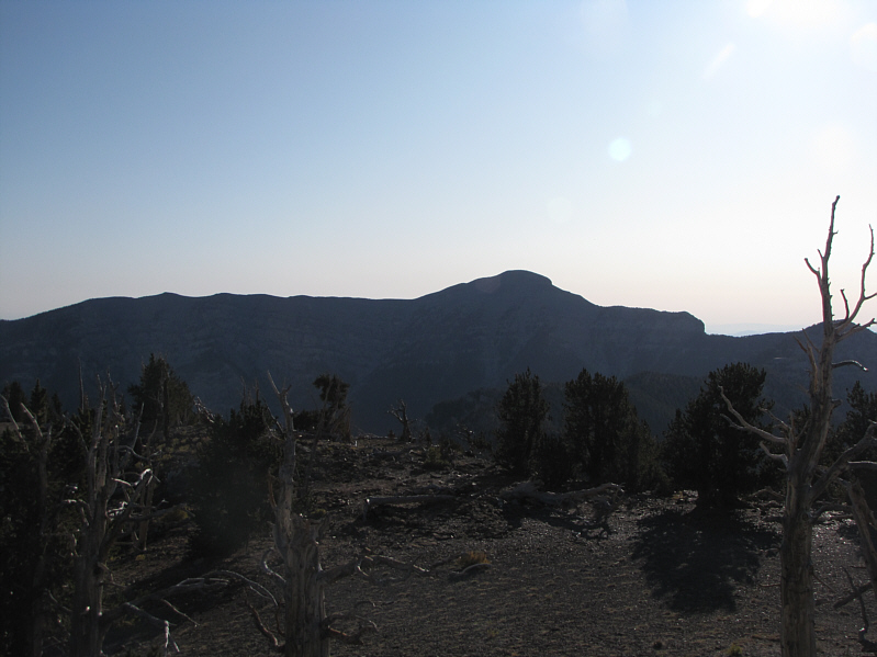
The late day sun casts some interesting shadows on La Madre Mountain in this view from the North Loop Trail. |
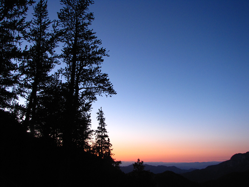 |
A beautiful day in the Spring Mountains comes to an end. |