BOU AVENUE
Delano Peak
The Tushar Mountains of south central Utah are not particularly rugged, but they are surprisingly high and offer tremendous hiking opportunities.  I had absolutely no knowledge of the area when Kelly Bou and I drove in from Richfield, Utah looking for places to camp.  We eventually found a nice place to camp at Mahogany Cove Campground.  Based on a map that was posted on the campground's information board, I learned that the highest peak in the range, Delano Peak, could be ascended quite easily via its west ridge.  The next day, 4 October 2009, we drove out to the start of the hike along a good gravel road (access information can be found here).  There is actually no trailhead per se, but I found a good pullout spot in some trees where the west ridge meets the road (I actually had to backtrack a bit when I reached Poison Creek which is also where some people start the hike).  A bitterly cold wind made Kelly change her mind about ascending Delano Peak, but she was willing to wait for me in the car while I went to tag the summit.  Though I took a beating from the merciless wind, I found the hike quite easy (less than 500 metres elevation gain and about 2.5 kilometres one-way) and managed to get up and down in less than 2.5 hours (including about half an hour on the summit).  Had the weather been more cooperative, it would have been nice to wander over to some of the nearby ridges, but this was a good first taste of the area.  Kelly and I camped for another chilly night before heading for warmer climes the following day.
Bagging 12,000-foot peaks doesn't get any easier than this! 
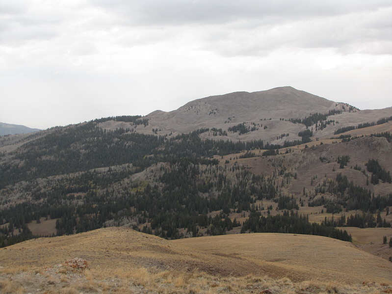
This is the broad west ridge of Delano Peak.  The summit is at center.
Looks like an easy ascent from any direction. Due west of Delano Peak is Shelly Baldy Peak (3451 metres).
You could wander for hours here! 
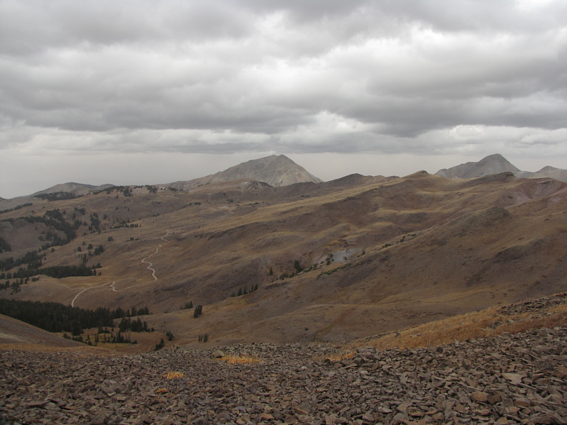
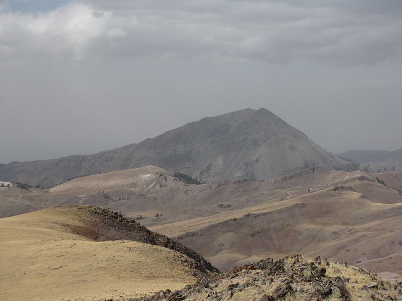
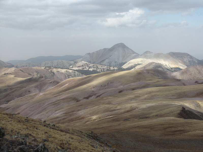
The access road can be seen snaking its way to the north.  At center is Mount Baldy (3695 metres), and at far right is Mount Belknap (3700 metres).
I'd hate to be the mailman that had to deliver to this mailbox! 
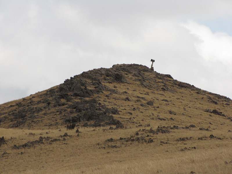
A mailbox sits on the summit of Delano Peak.
At least you're not likely to get junk mail here! 
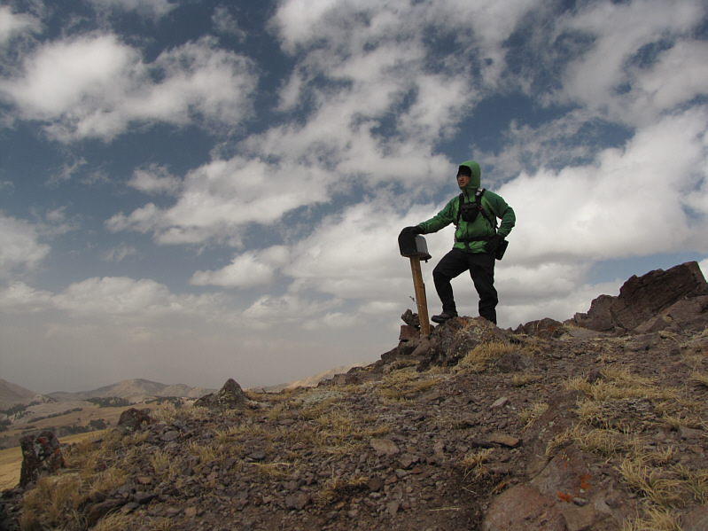
Sonny stands on the 3710-metre summit of Delano Peak.
I didn't realize that Delano Peak was a 12,000-footer until I saw this marker. 
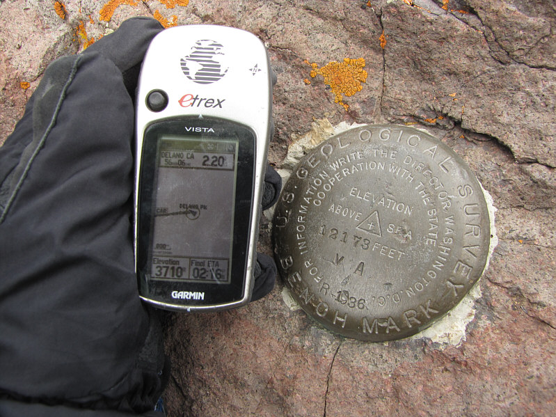
Sonny's GPS elevation reading corresponds well with the figure on the survey marker.
Can you spot the antenna? Here is another look at Mount Baldy from the summit of Delano Peak.
Just not today with that ferocious wind! 
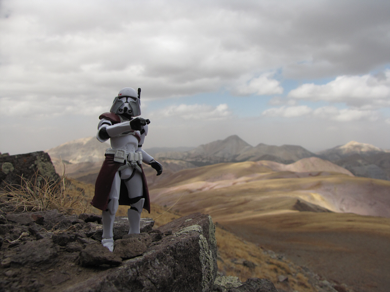
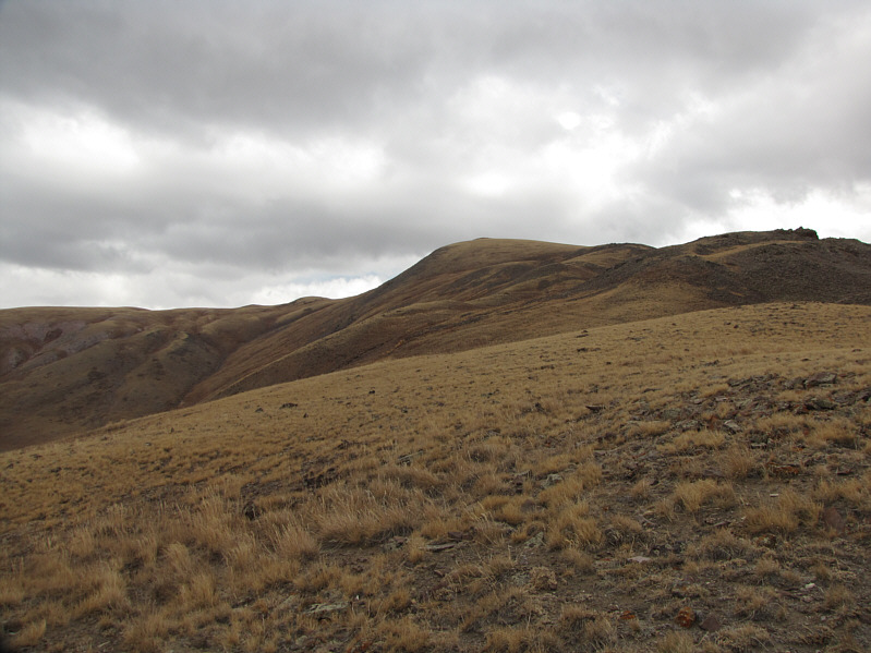
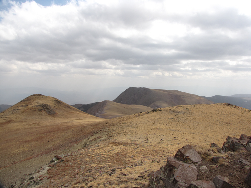
The rolling landscape to the north invites further exploration.
Much more striking than Delano Peak! 
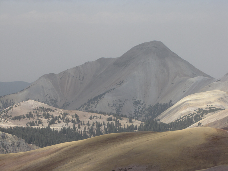
Here is a closer look at Mount Belknap, the second highest peak in the Tushar Mountains.
Would have been nice to tag it at the same time, but I'll be back someday... Mount Holly (3653 metres) is about 2 kilometres away to the southeast.