


Round-Trip Time: 7 hours 6 minutes
Total Elevation Gain: 1402 metres
|
|
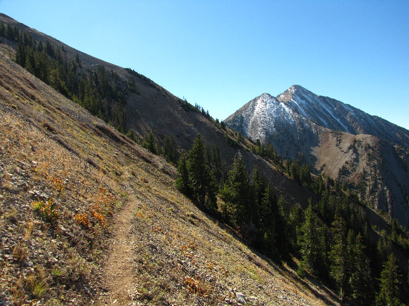
This is the view of Mount Nebo and North Peak from the fence line near the trailhead. |
|
|
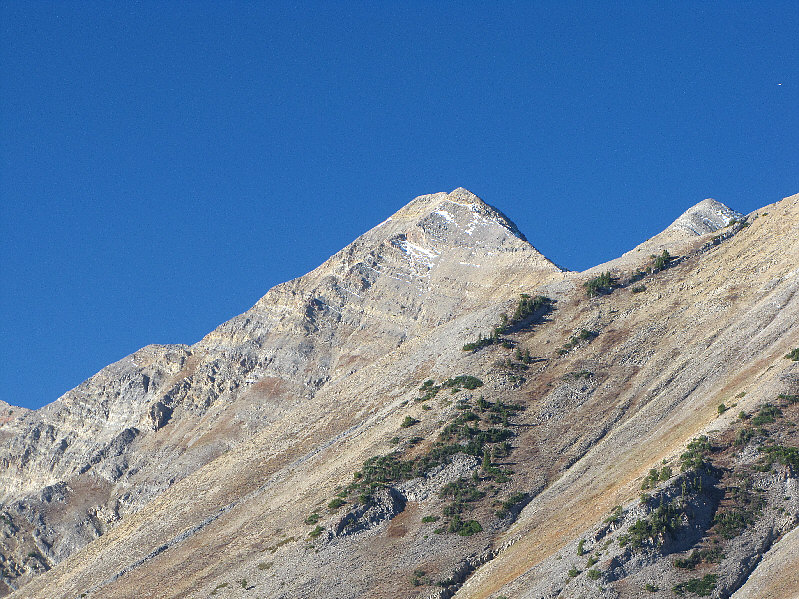
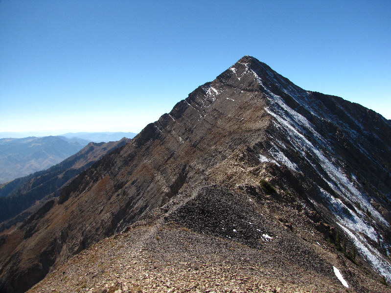
Here is a closer look at Mount Nebo's north summit. |
|
|
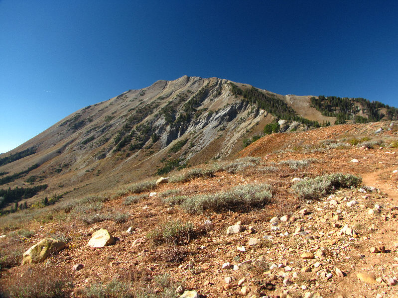
North Peak dominates much of the view on the approach. The trail eventually leads to the right-hand skyline ridge. |
|
|
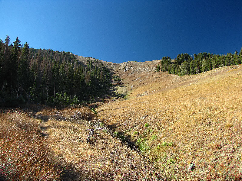
The trail cuts to the right side of this draw and climbs alongside the trees to the ridge above. |
|
|
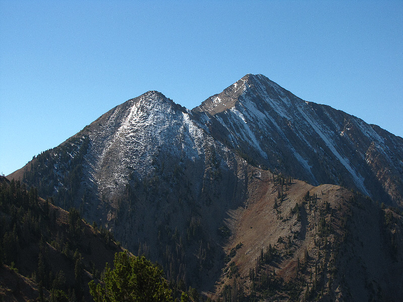
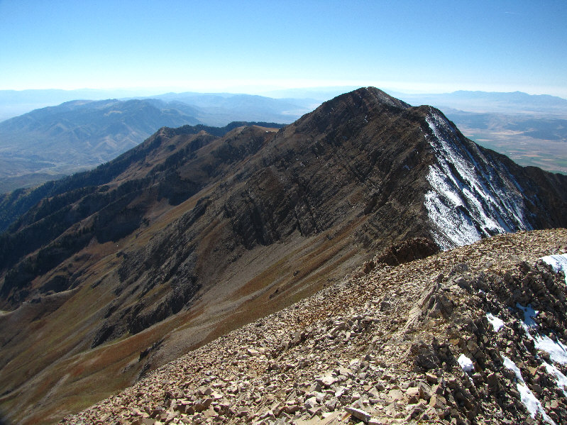
The north ridge of North Peak grants this view of Mount Nebo's north summit (right) and its northern outlier (left). |
|
|
The bypass trail traverses across the west slopes of North Peak. |
|
|
This is looking up at Mount Nebo's northern outlier from Wolf Pass. |
|
|
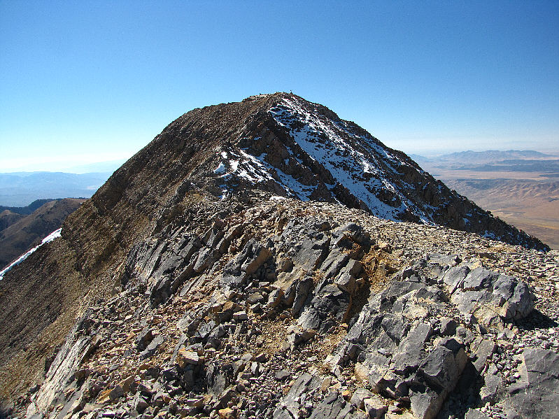
This is the view of Mount Nebo's north summit from the top of the outlier. |
|
|
Sonny hikes the connecting ridge between Mount Nebo and its northern outlier. |
|
|
The north summit is only a few steps away. |
|
|
Sonny stands atop the 3635-metre north (true) summit of Mount Nebo. |
|
|
Visible to the south are the south and middle summits of Mount Nebo. |
|
|
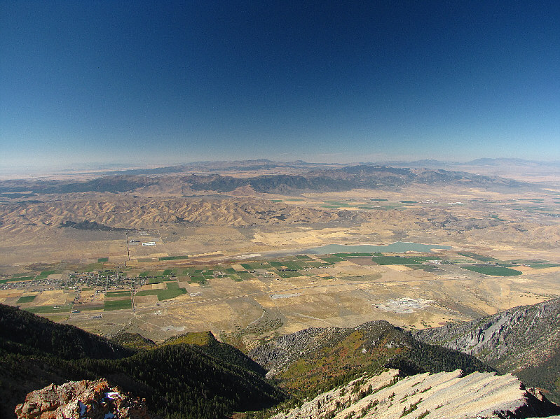
The town of Mona and the Mona Reservoir are visible to the west. Barely discernible on the horizon at left is Ibapah Peak which is 185 kilometres due west of Mount Nebo. |
|
|
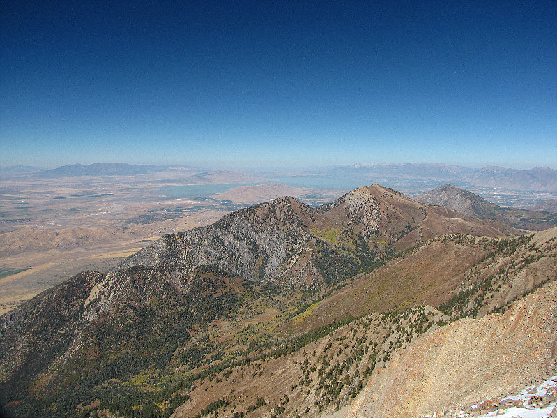
Looking north, the peaks in the foreground are (L to R) unnamed, Bald Mountain, and Dry Mountain. Utah Lake is also visible in the distance. |
|
|
Rolling hills predominate the landscape east of of Mount Nebo. |
|
|
The register container looks like something "The A-Team" would have welded together! |
|
|
This is the view of North Peak from Mount Nebo's northern outlier. Also visible at left are Bald Mountain and Dry Mountain. The mountain at distant right actually consists of two separate peaks--Santaquin Peak and Loafer Mountain. |
|
|
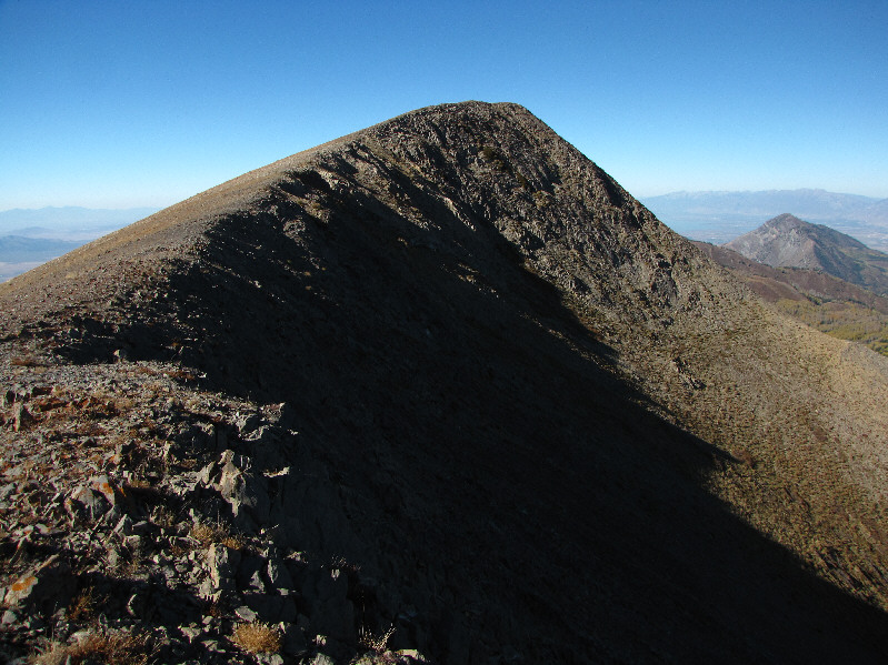
From Wolf Pass, the south end of North Peak poses no difficulties. |
|
|
The south summit of North Peak comes into view. |
|
|
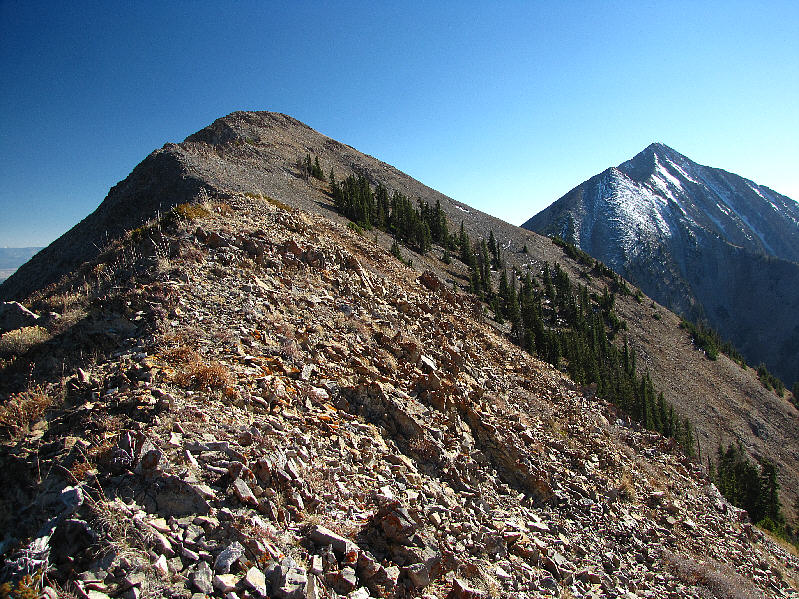
This is looking at the north summit of North Peak from the south summit (3408 metres). |
|
|
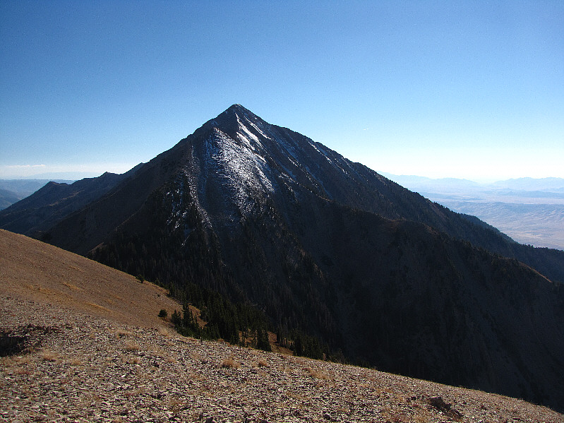
Here is a view of Mount Nebo from North Peak. |
|
|
This is a last look back at North Peak and Mount Nebo after the traverse. |
|
|
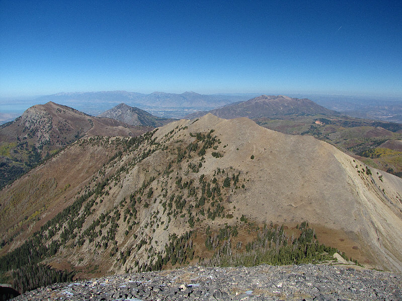
From this vantage point on North Peak, Santaquin Peak and Loafer Mountain are visible at left. |
|
|
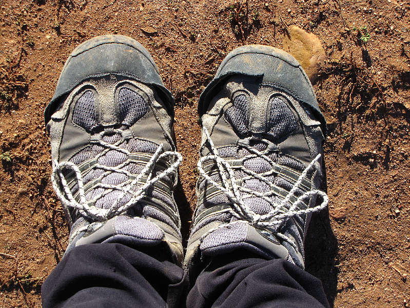
Sonny's hiking shoes have seen better days! |
|
|
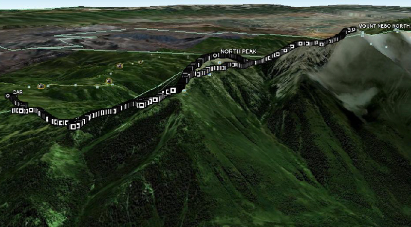
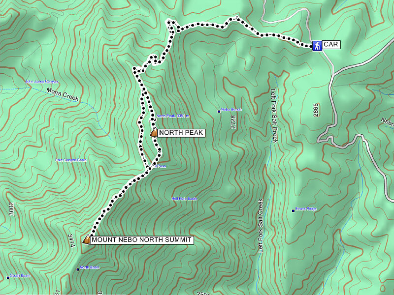
This is the route as viewed in Google Earth. |
|
|
Total Distance: 14.8 kilometres Round-Trip Time: 7 hours 6 minutes Total Elevation Gain: 1402 metres |