
Photo courtesy of Kelly Bou


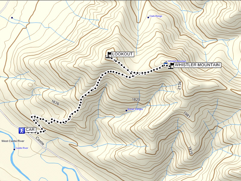
Round-Trip Time: 5 hours 11 minutes
Total Elevation Gain: 877 metres
According to the old NTS map (see Bob Spirko's report) printed in 1977, the summit of Whistler Mountain should have been the next bump to the southeast. To add to the confusion, the map in "The Castle Special Management Area" brochure which I was carrying marks Whistler Mountain's summit as the even higher point to the east of the next bump. However, the brochure's figure of 2167 metres for the summit does not really make sense for that higher point which is at least over 2256 metres. Both Garmin's TOPO Canada (which I use for my GPS) and Natural Resources Canada's Toporama maps show Whistler Mountain's summit as the same one where we found the PVC canister.
Unfortunately, Kelly and I were unable to open the canister, and because I had neglected to load the actual map of the area into my GPS, I could only assume that the brochure map was correct and that we were still far removed from the summit of Whistler Mountain. Due to a late start, the growing heat, and a party to attend in Calgary, we were not overly motivated to continue on to the higher point or even the next bump. Instead, we backtracked to the saddle and hiked up to the lookout before returning all the way to my car (a little more than 5 hours round-trip at an extremely leisurely pace). The drive out the Castle River road was just as rough as the drive in, but after getting across the intimidating ford, we breathed a little easier and had no issues with cattle on our way to the aforementioned party.
It was not until the next day that I discovered all the controversy
surrounding the true summit of Whistler Mountain. Regardless, the
unnamed ridges beyond definitely warrant a return visit...as soon as I
buy an ATV!
|
|
A herd of cattle block the highway near Beaver Mines. Photo courtesy of Kelly Bou |
|
|
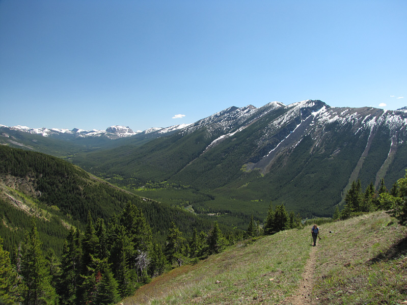
Kelly hikes up the trail to Whistler Lookout. Lys Ridge dominates the view with Jutland Mountain visible at distant left. |
|
|
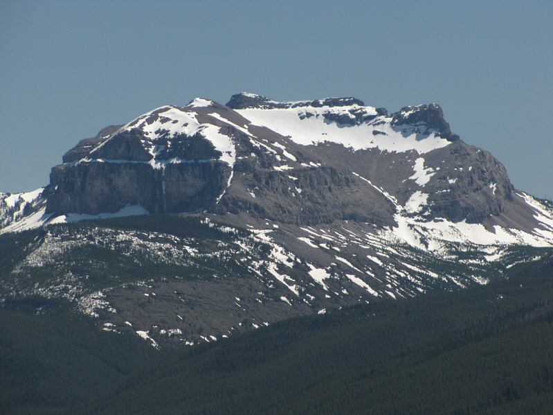
This is a close-up view of Jutland Mountain. |
|
|
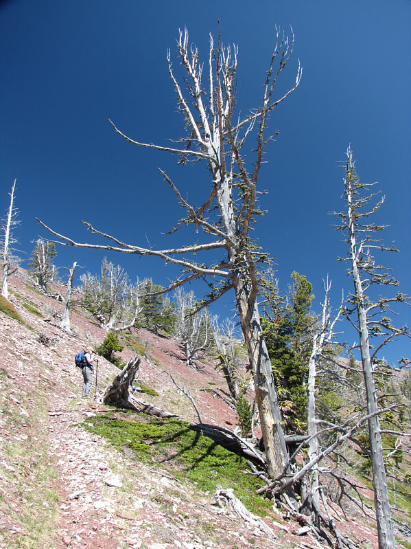
Kelly checks out some of the interesting deadwood on the ridge. |
|
|
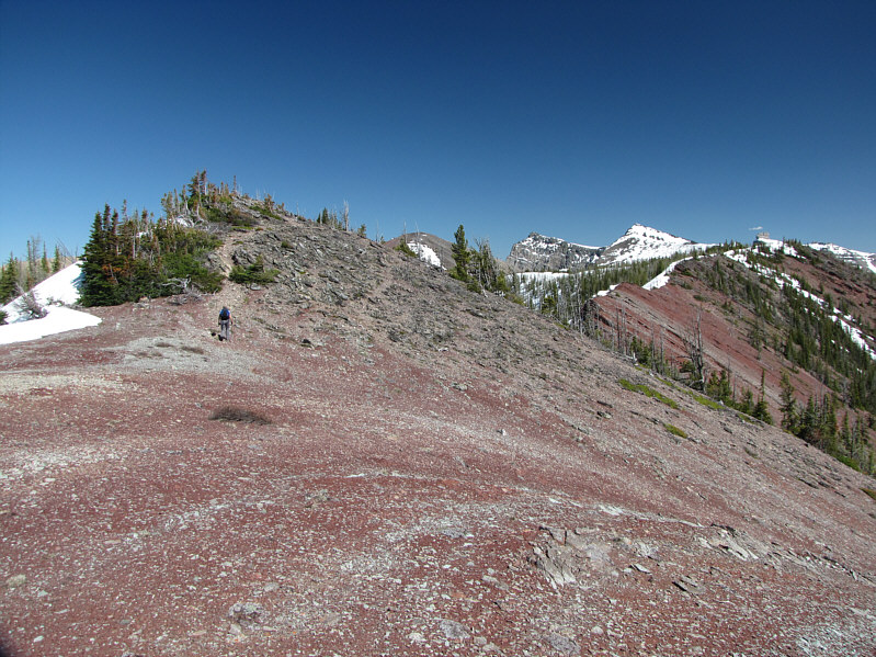
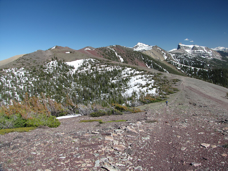
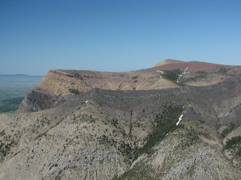
This is Whistler Lookout (right) as seen from the connecting ridge to Whistler Mountain. |
|
|
Kelly takes the last few steps before the summit of Whistler Mountain. |
|
|
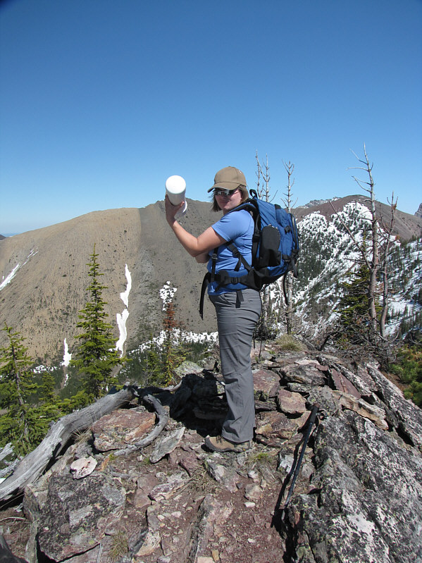
Kelly holds up the register canister on the disputed 2201-metre summit of Whistler Mountain. |
|
|
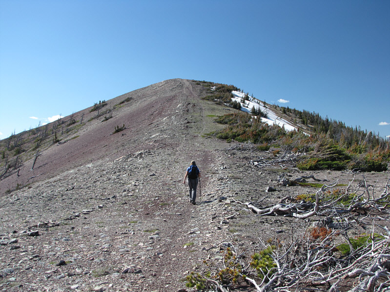
Kelly hikes toward the top of the lookout. |
|
|
This is looking back at the connecting ridge to Whistler Mountain (left). Castle Peak is visible at distant right. |
|
|
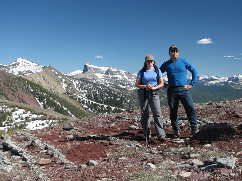
Kelly and Sonny stand on top of Whistler Lookout (2169 metres). |
|
|
Castle Peak is the centerpiece of the entire area. |
|
|
Table Mountain is visible to the northeast. |
|
|
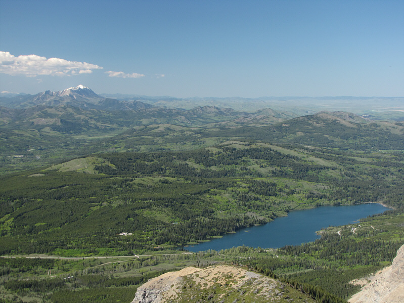
The view to the north is highlighted by Beaver Mines Lake and snowy Centre Peak on the horizon at left. |
|
|
Here is a closer look at Centre Peak. |
|
|
The concrete foundation is all that is left of the former lookout building. |
|
|
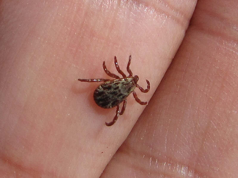
It is the height of tick season! |
|
|
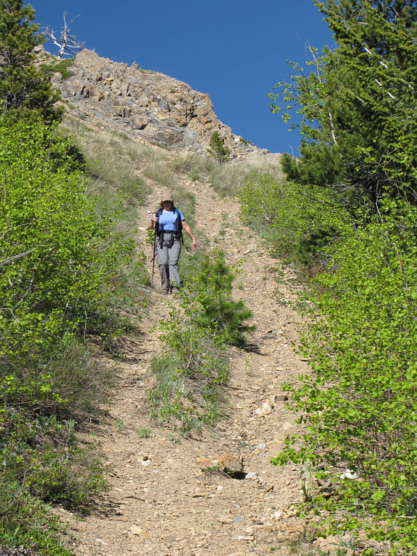
Kelly descends a steep section of the trail. |
|
|
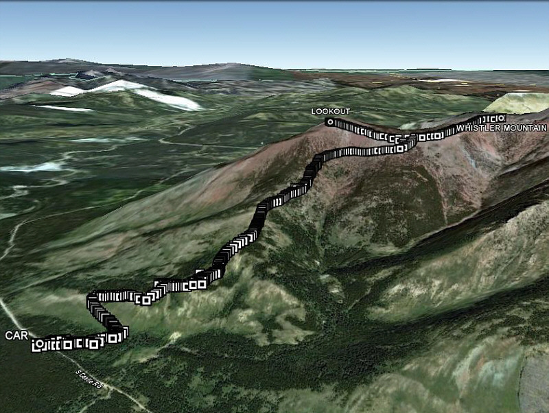
This is the route as viewed in Google Earth. |
|
|
Total Distance: 7.9 kilometres Round-Trip Time: 5 hours 11 minutes Total Elevation Gain: 877 metres |