


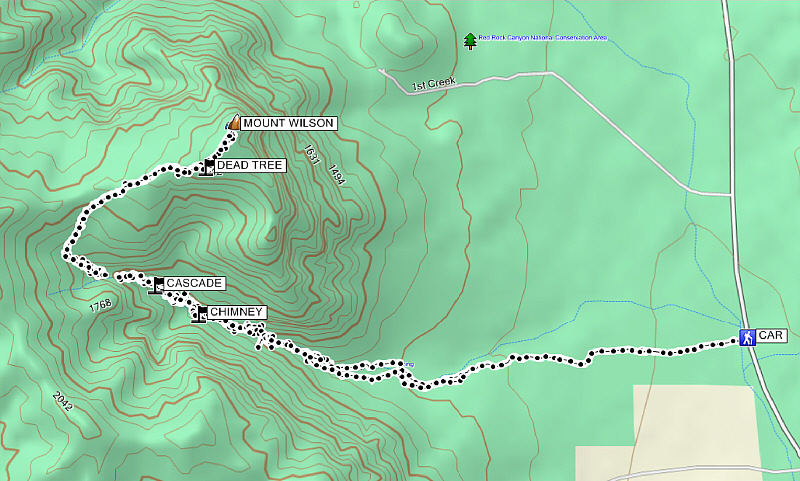
Round-Trip Time: 10 hours 27 minutes
Net Elevation Gain: 1048 metres
|
|
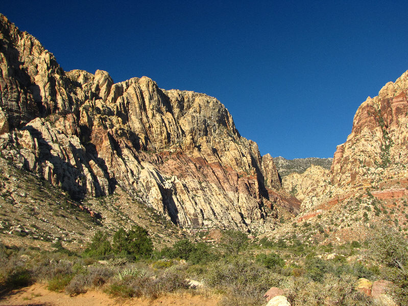
The east face of Mount Wilson looks brilliant in the morning sun. First Creek Canyon is visible at left. |
|
|
Here is a closer look at the mouth of First Creek Canyon. |
|
|
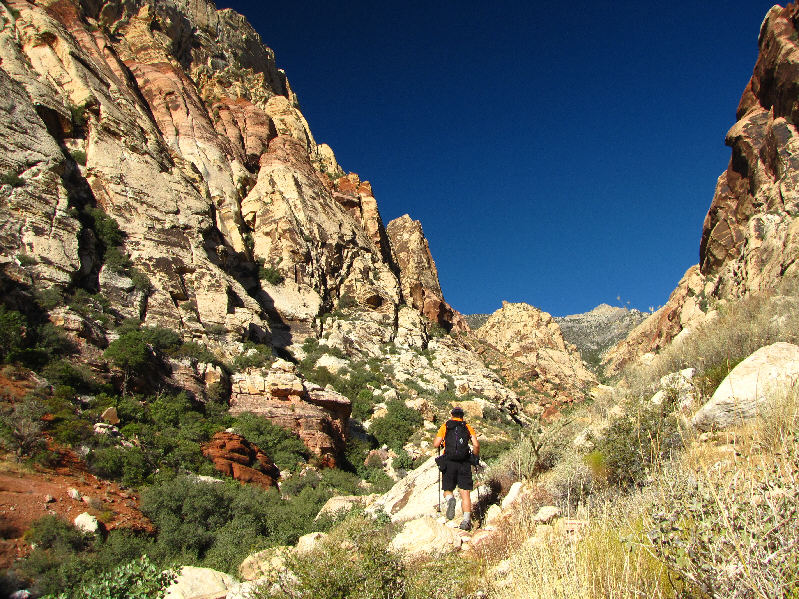
Sonny enters First Creek Canyon. |
|
|
Here is one of the numerous gigantic boulders choking the bottom of the canyon. |
|
|
This is one of the easier sections to navigate. |
|
|
This is one of several pools of water near a cascade. |
|
|
Sonny slowly climbs out of the canyon. |
|
|
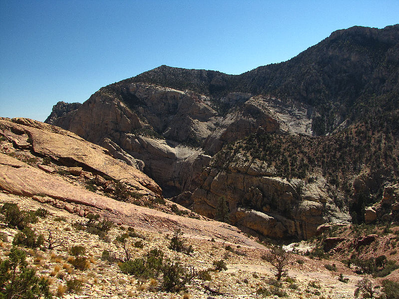
This is looking back at First Creek Canyon from the bowl to the west. |
|
|
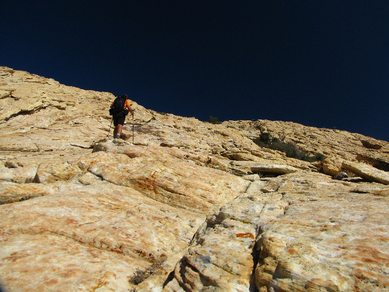
Sonny climbs up easy slabs. |
|
|
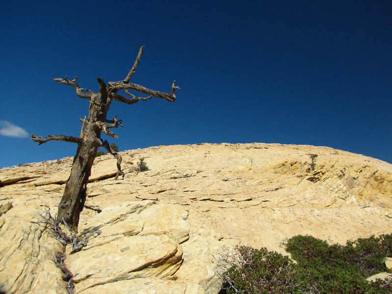
A dead tree points the way to the summit (not visible here). |
|
|
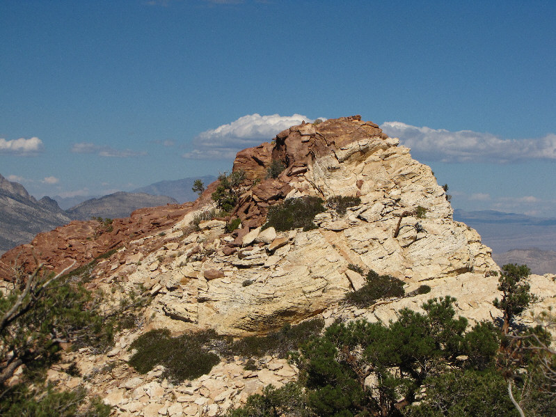
The summit of Mount Wilson is finally in sight. |
|
|
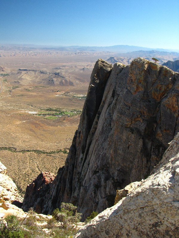
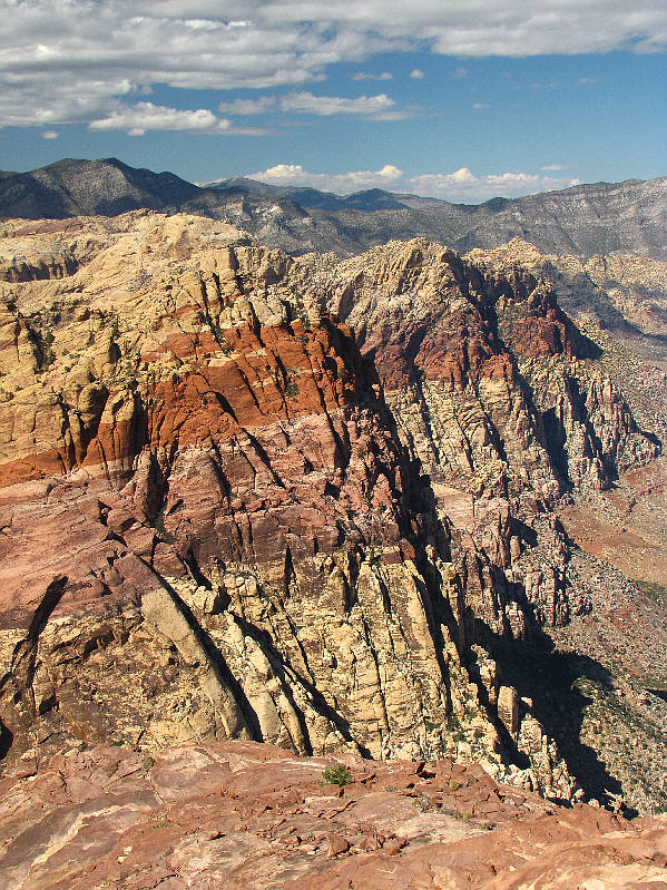
This is looking down Mount Wilson's impressive east face. Spring Mountain Ranch State Park (green patch) is visible in the distance. |
|
|
Sonny stands on the 2149-metre summit of Mount Wilson. |
|
|
Rainbow Mountain dominates the view to the north. |
|
|
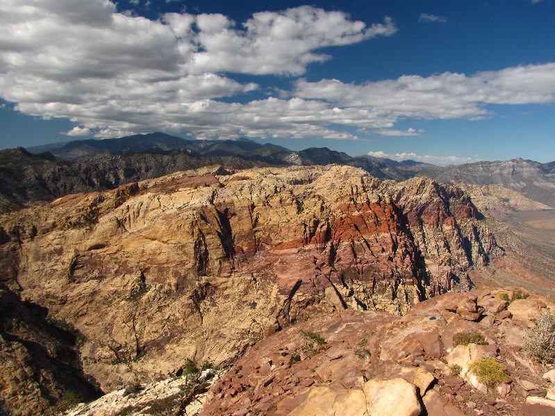
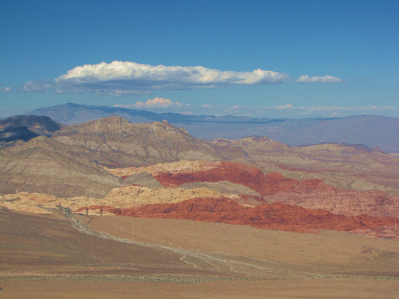
The Calico Hills look striking to the northeast. |
|
|
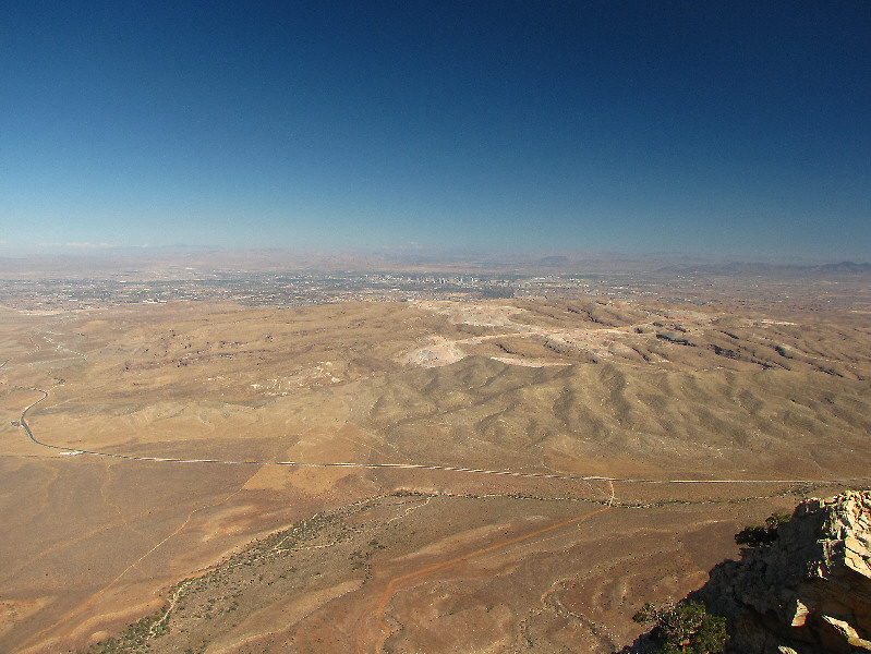
The terrain to the east is known as Blue Diamond Hill. Las Vegas is visible in the distance. |
|
|
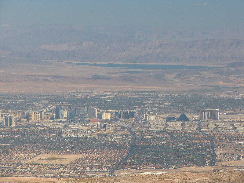
Here is a closer look at the Las Vegas Strip. Also visible is Lake Mead. |
|
|
This is looking south along Mount Wilson's summit ridge. Potosi Mountain is on the horizon. |
|
|
Here is another look at the impressive cliffs of Rainbow Mountain. |
|
|
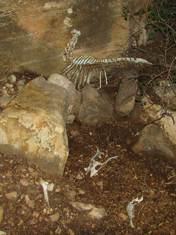
The remains of an ungulate, most likely a sheep, is a testament to the difficulties of route-finding in First Creek Canyon. |
|
|
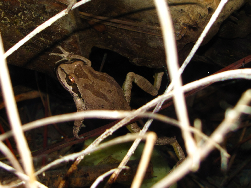
A Pacific tree frog swims in one of the small pools in the canyon. |
|
|
This is looking down a chimney along the route through the canyon. |
|
|
This is the chimney section as seen from below. |
|
|
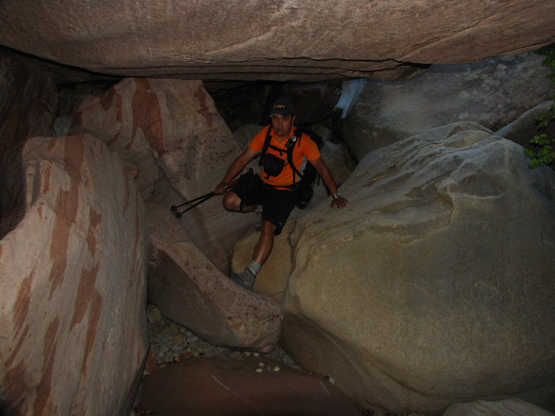
Sonny scrambles underneath an immense boulder. |
|
|
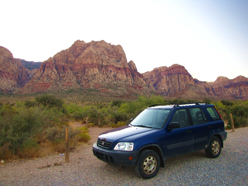
Here is a last look at Mount Wilson (left) from the trailhead. |
|
|
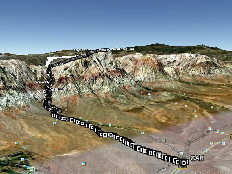
This is the route as viewed in Google Earth. |
|
|
Total Distance: 14.1 kilometres Round-Trip Time: 10 hours 27 minutes Net Elevation Gain: 1048 metres |