


Having previously
researched the route up
Canyon Mountain, I drove up the access road as far as a plowed parking
area. Although I could have driven a bit further, the road beyond
is not maintained, and I did not want to risk getting the rental car
stuck in deep snow. Unfortunately, this would add significant
distance and elevation gain to my trip, and I already had doubts about
making the summit even before I began marching up the road in my
snowshoes. Travel along the road was generally easy, and with the
wind at my back and the sun in my face, I felt quite comfortable despite
the frigid temperatures. Like my recent trip up
Mount Baker, I was yearning for my cross-country
skis, but at least this service road has decent views along the way.
About 3.5 kilometres from the parking area, I turned up a narrower and
less-traveled road which provides a slightly more direct route up to the
ridge crest. I eventually reached a high point just north of Canyon
Mountain's south end. Though the summit looked tantalizingly close,
I estimated that I was still at least a good hour away, and hiking into
the teeth of the freezing wind would have slowed me down even further.
Running out of time, I settled on briefly visiting Canyon Mountain's
south end before taking a shortcut back to the road and returning to the
car. As it turned out, my flight out of Whitehorse was delayed by
an hour, but I have no regrets about turning around prematurely given the
fact that I still had to return the rental car on time. My delayed
departure was also the start of a long and surreal trip home which
involved missed, oversold and cancelled flights and an impromptu
one-night stay at a hotel in Vancouver, British Columbia.
|
|
Canyon Mountain is visible from the parking area at the end of the maintained section of the road. |
|
|
There are a couple of antennas near Canyon Mountain's south end (right). |
|
|
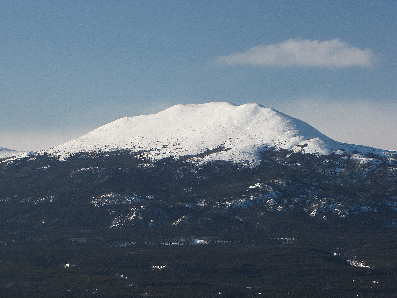
Golden Horn Mountain is probably the most prominent landmark near Whitehorse. |
|
|
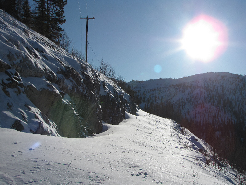
Snowdrifts cover this section of the road. |
|
|
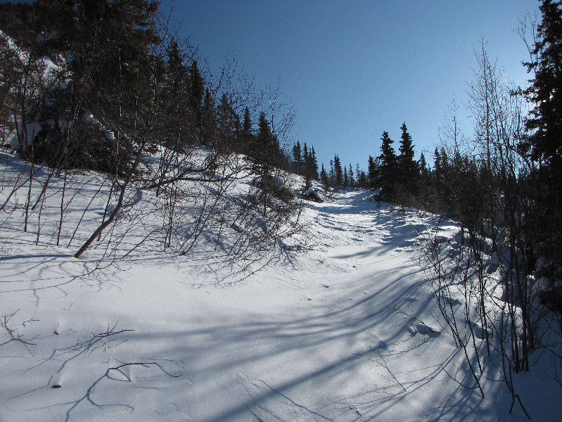
This is the less-traveled road that branches off from the main road. |
|
|
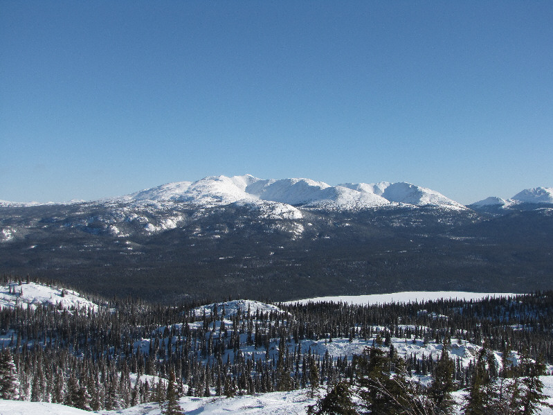
This is the view of Canyon Mountain's south end from Sonny's high point (1330 metres). |
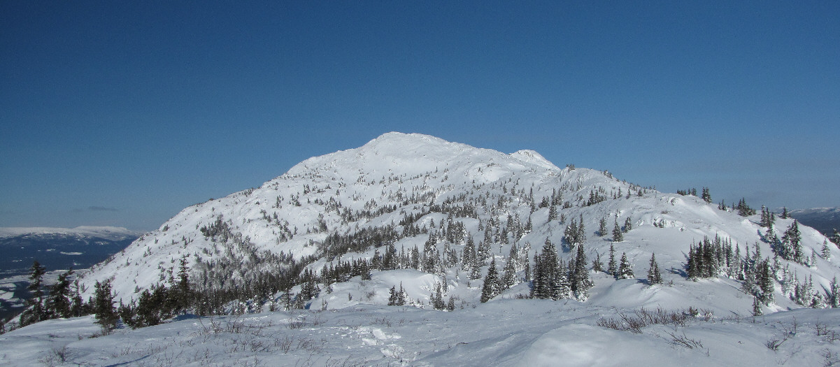
This is the main summit block of Canyon Mountain as seen from Sonny's high point.
 |
The view to the southwest includes Chadburn Lake (lower right) and Golden Horn Mountain (left on horizon). |
 |
Looking east, Cantlie Lake is barely visible at lower right. The peaks in the distance are unnamed. |
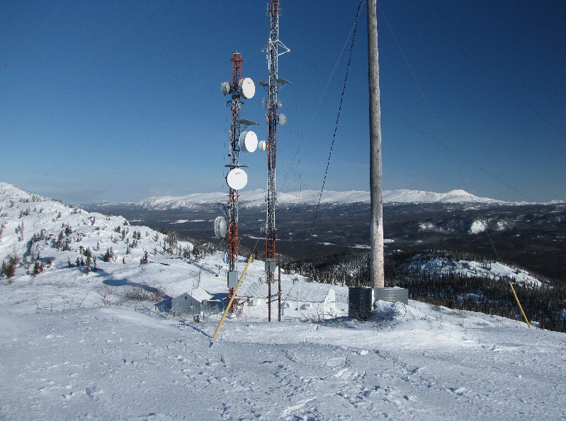 |
Antennas and buildings clutter the view north from Canyon Mountain's south end. On the horizon at right is Cap Mountain. |
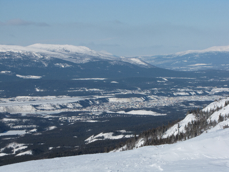 |
The city of Whitehorse is visible to the northwest. The city's airport is also visible at far left. |
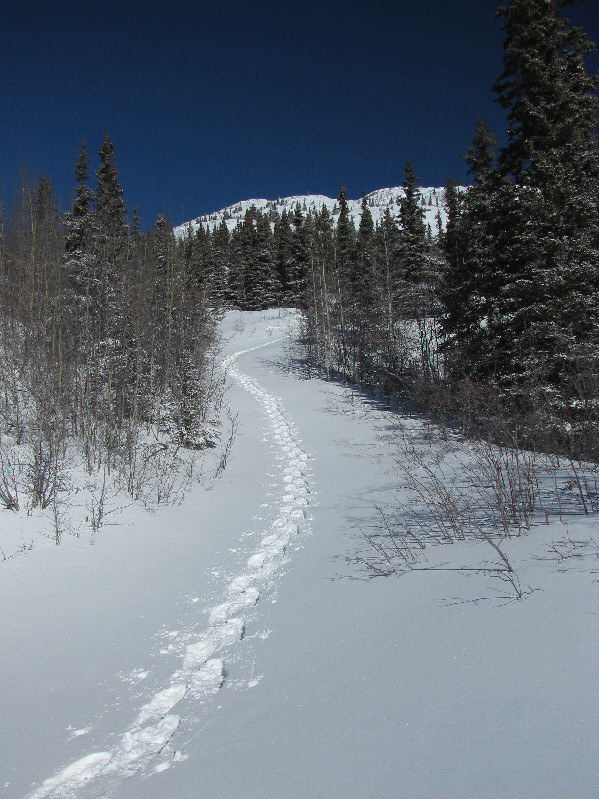 |
Here are Sonny's up-tracks at the turnoff from the main road. |
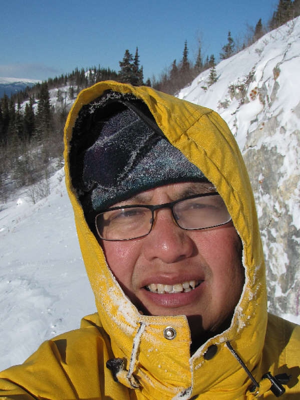 |
Sonny grimaces at the cold weather. |
 |
Total Distance: 9.8 kilometres Round-Trip Time: 3 hours 17 minutes Net Elevation Gain: 457 metres |