|
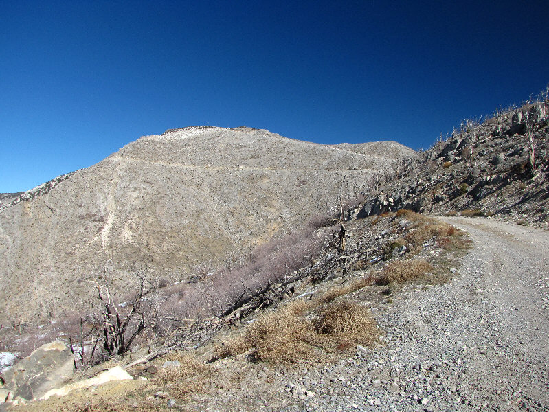
This is as far as the public can drive up Potosi Mountain's service
road. A service truck is continuing up the road at left.
The road is also visible higher up in the distance (left of centre
near horizon). |
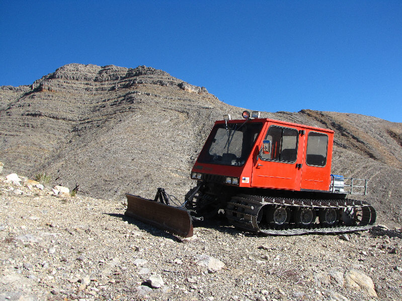 |
Not far up the road, a snow cat sits incongruously on the dry ridge. |
 |
The road splits further up with the right branch heading directly to the
top of Potosi Mountain South and the left branch contouring around the
same. |
 |
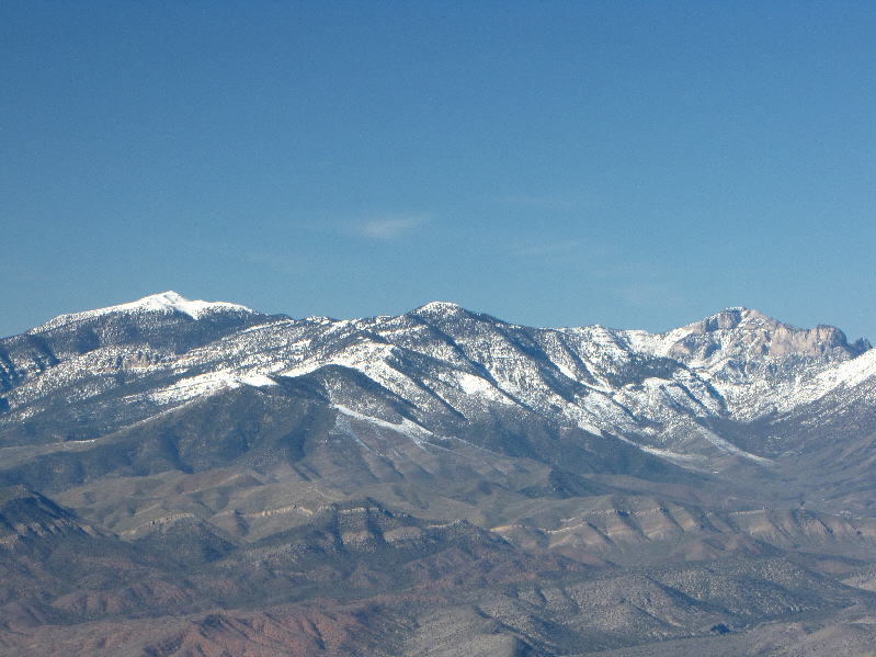
Far to the north are
Charleston Peak (left) and Griffith Peak (far right). |
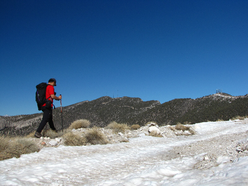 |
Sonny avoids some slippery snow on the road. The summit of Potosi
Mountain is visible left of centre. |
 |
A roofless concrete shed sits abandoned beside the road. |
 |
A short scramble behind the building leads to the summit. |
 |
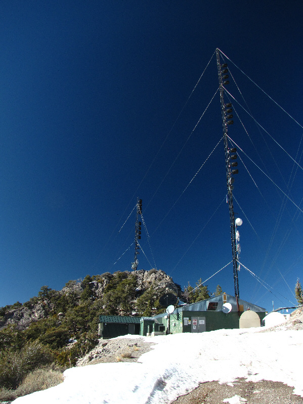
Here is a closer look at the antenna on the 2595-metre summit of Potosi Mountain. |
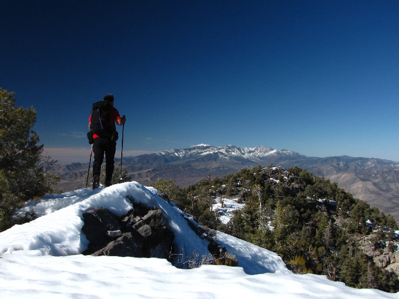 |
Getting away from all the antennas, Sonny proceeds to the next bump to the north. The Spring Mountains are visible in the distance. |
 |
This is one of numerous clumps of ladybugs huddled among the rocks near the summit. Apparently, they do this to stay warm. |
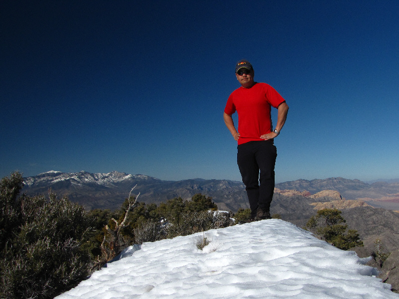 |
Sonny poses on the 2583-metre northern high point of Potosi Mountain. |
 |
This is looking down the west ridge which is another popular approach for
Potosi Mountain. The dark ridge near the horizon is the Nopah
Range, and further behind it is the Panamint Range. |
 |
Here is another look at Charleston Peak (left) and Griffith Peak (centre)
plus Mummy Mountain (right). |
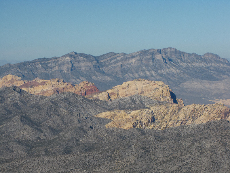 |
The peaks of Red Rock Canyon are
visible to the north including Bridge Mountain (far left), Rainbow
Peak (left of centre), and
Mount Wilson (right of centre). La Madre Mountain at
distant right dominates the skyline. |
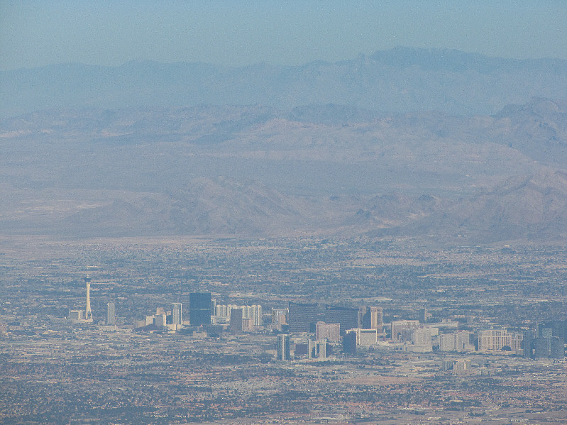 |
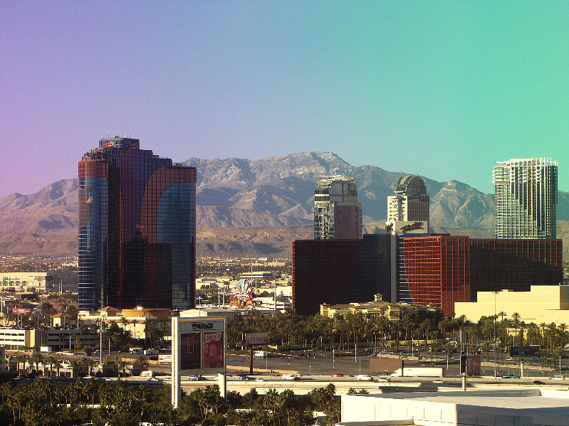
Past the Las Vegas Strip to the northeast are Sunrise Mountain (left of
centre) and Virgin Peak (right horizon). |
 |
Most of Potosi Mountain's numerous high points are visible to the south. |
 |
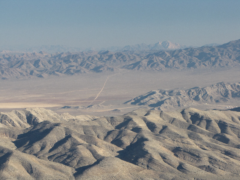
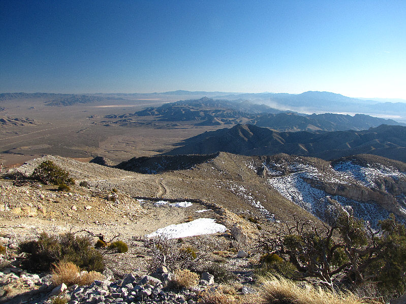
This is looking southwest into California from the service road. |
 |
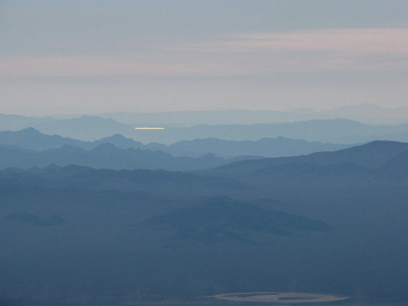
Spirit Mountain, over 100 kilometres away,
stands out on the southeast horizon. The light tan patch in the
middle ground at far left is Jean Playa (dry lake). |
 |
Three identical towers stand atop Potosi Mountain South (2497
metres). |
 |
Here is another view of Potosi
Mountain's summit from Potosi Mountain South. |
 |
This is a last look southward from Potosi Mountain South. The sharp
peak at distant centre is Devil Peak while the big hulk on the horizon at
right is Clark Mountain. |
*Because I had left my GPS at the hotel, all elevation figures
given on this page were taken or derived from the local 1:24,000 USGS
topographic map.