


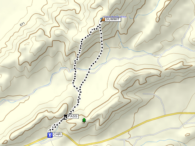
Round-Trip Time: 4 hours 12 minutes
Net Elevation Gain: 344 metres
|
|
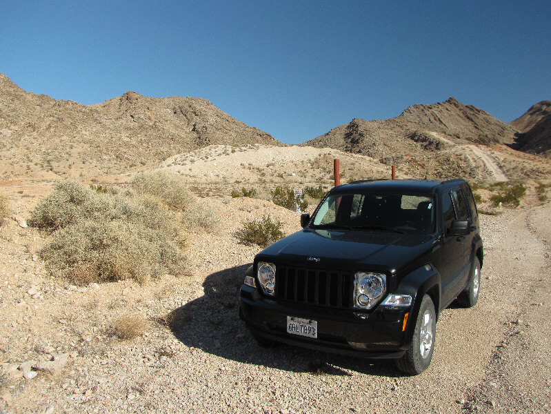
The standard route for Sunrise Mountain begins here and climbs over the low pass at centre. |
|
|
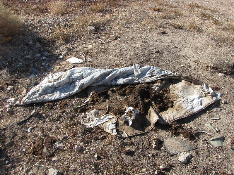
Among the multitude of abandoned furniture and other garbage near the trailhead is what appears to be the remains of somebody's pet dog. |
|
|
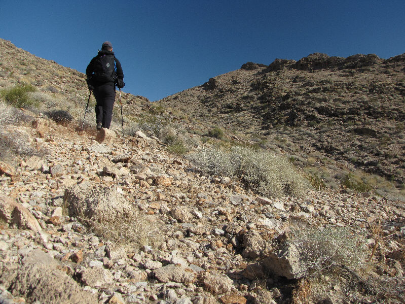
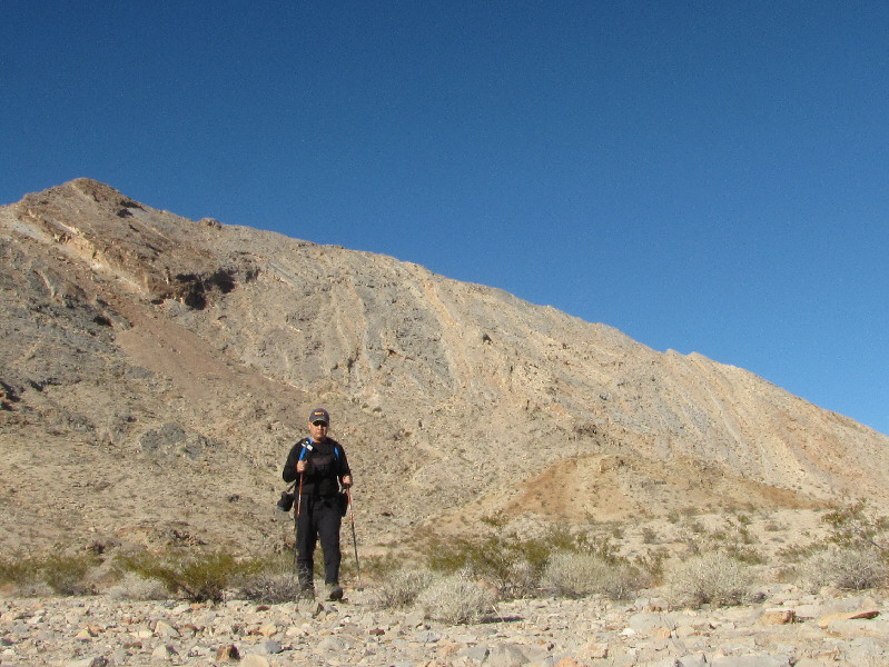
Sonny climbs quickly up to the low pass. |
|
|
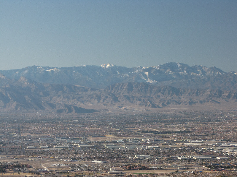
From the low pass, the Las Vegas Strip is visible to the west. Potosi Mountain dominates the horizon. |
|
|
Sunrise Mountain comes into view on the other side of the low pass. |
|
|
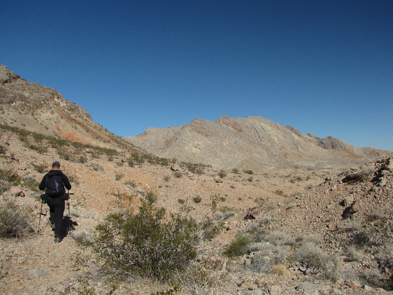
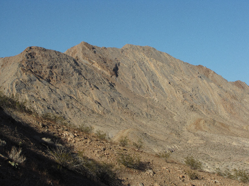
There are many possibilities for ascending Sunrise Mountain. The summit is just out of view behind the ridge at far right. |
|
|
This is looking back down the wash that is an alternative approach for Sunrise Mountain. |
|
|
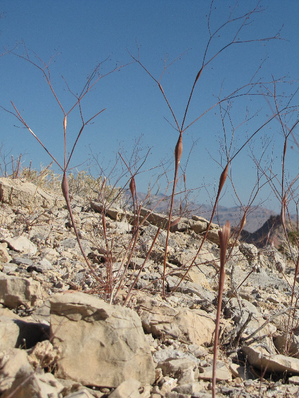
These are desert trumpets (Eriogonum inflatum). Originally and erroneously thought to have been caused by insect larvae, the swollen stems play a part in the perennial plant's carbon dioxide regulation. |
|
|
A barrel cactus stands upright on the rocky slope. |
|
|
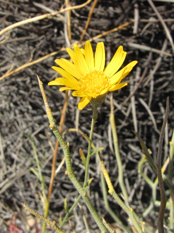
A few desert marigolds such as this one are still blooming in December. |
|
|
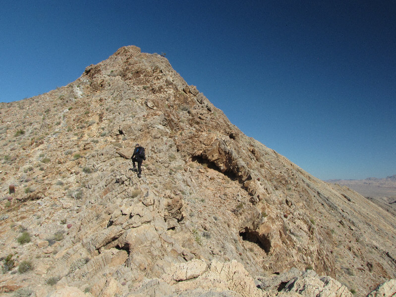
Sonny climbs up a false summit. |
|
|
There is another false summit to bypass. |
|
|
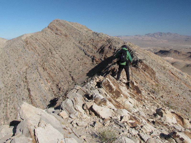
Sonny traverses the ridge to the true summit. |
|
|
The summit is just a few steps ahead. |
|
|
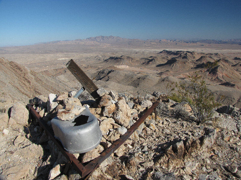
Sonny stands beside the odds and ends on the 1024-metre summit of Sunrise Mountain. |
|
|
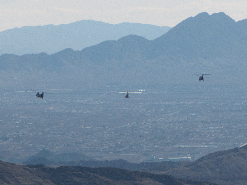
A trio of military Chinook helicopters perform manoeuvers over Las Vegas. |
|
|
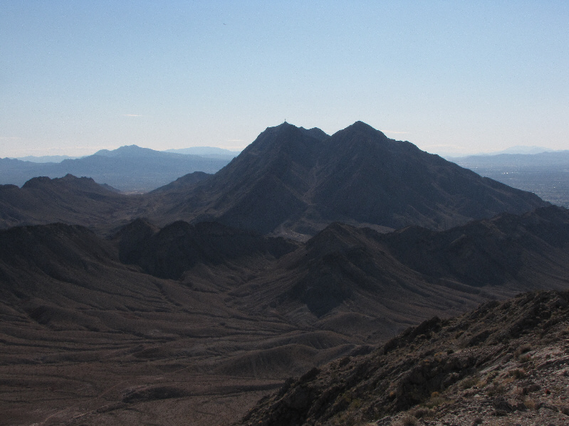
To the south is Frenchman Mountain. |
|
|
The Spring Mountains out west look very clear on this day. |
|
|
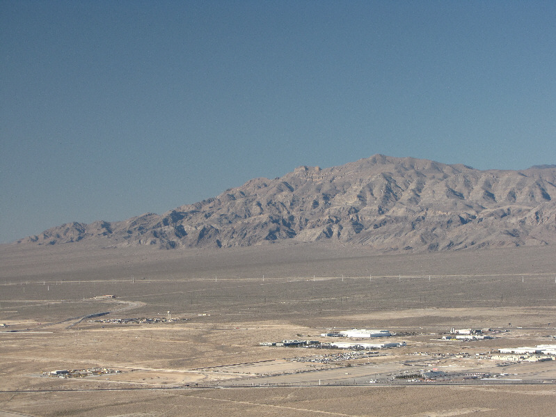
Gass Peak dominates the view to the northwest. |
|
|
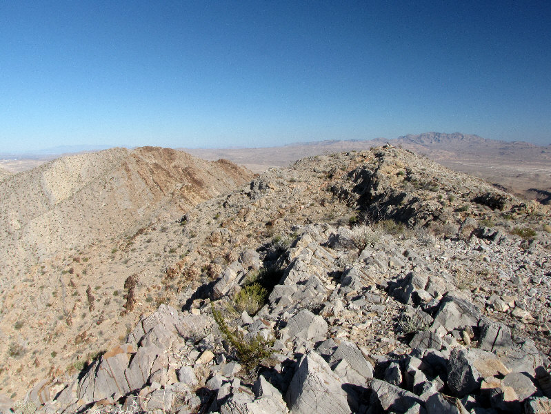
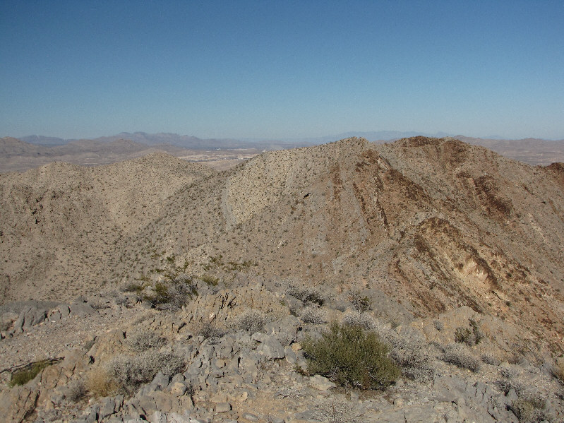
The ridge to the northeast is part of the Sunrise Mountain massif and looks nearly as high if not higher. |
|
|
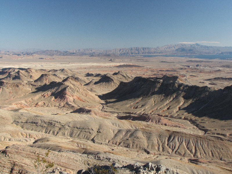
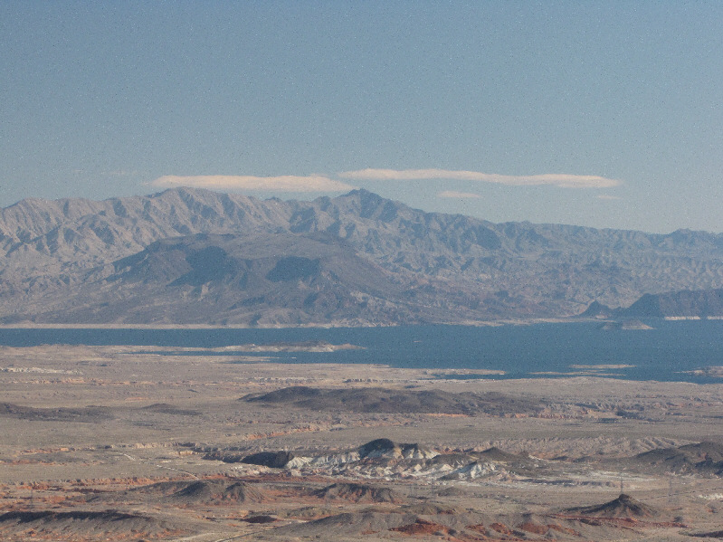
To the southeast is some interesting desert landscape. Lake Mead is also visible in the distance. |
|
|
Behind Lake Mead are Fortification Hill (dark flattop just left of centre) and Mount Wilson (centre on horizon). Both are on the Arizona side of the lake. |
|
|
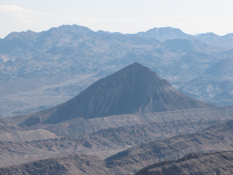
Diminutive Lava Butte is also visible to the south. |
|
|
Beyond the summit paraphernalia, Muddy Peak is visible on the eastern horizon. |
|
|
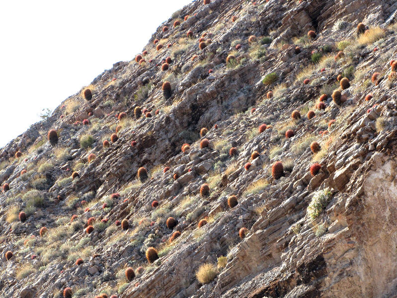
The south-facing slopes of Sunrise Mountain are cluttered with barrel cacti. |
|
|
Sonny proceeds across the flats after descending the face behind him. |
|
|
Sonny finds a partial skull in one of the washes. |
|
|
Here is a last look at the south face of Sunrise Mountain. |
|
|
Total Distance: approx. 6
kilometres Round-Trip Time: 4 hours 12 minutes Net Elevation Gain: 344 metres |